- Brief description
-
The Reiat Trail in the northernmost part of Switzerland offers views as far as the Swiss Alps and promises variety and enjoyment.
- Difficulty
-
medium
- Rating
-
- Starting point
-
Stop Thayngen, Hüttenleben
- Route
-
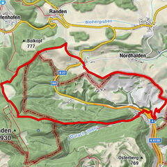
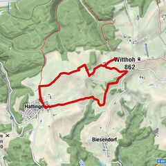
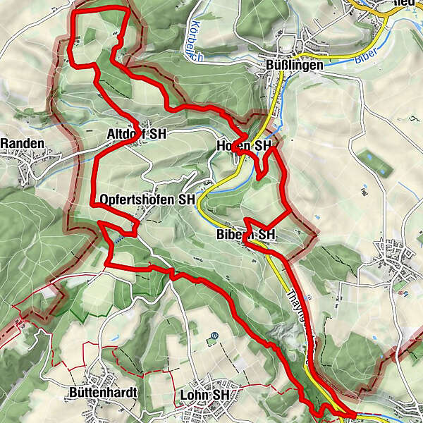
Bibern SH (462 m)Wasserfall Drachebrunne3.2 kmCherzenstübli3.7 kmReiatstube8.0 kmOpfertshofen SH (566 m)8.2 kmAltdorf SH (518 m)10.0 kmHofen SH (474 m)16.1 kmNiederhard-Reiat17.3 kmBibern SH (462 m)18.7 km
- Best season
-
JanFebMarAprMayJunJulAugSepOctNovDec
- Description
-
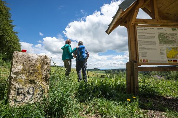
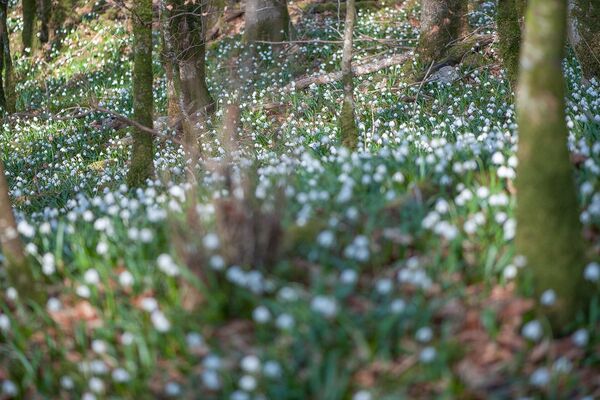
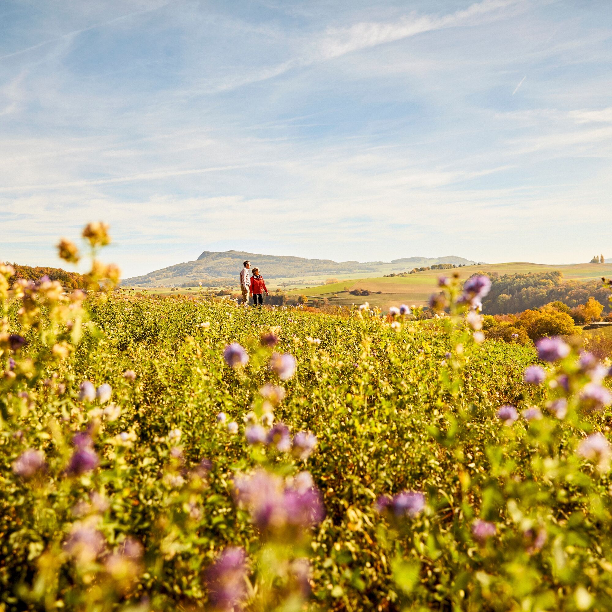
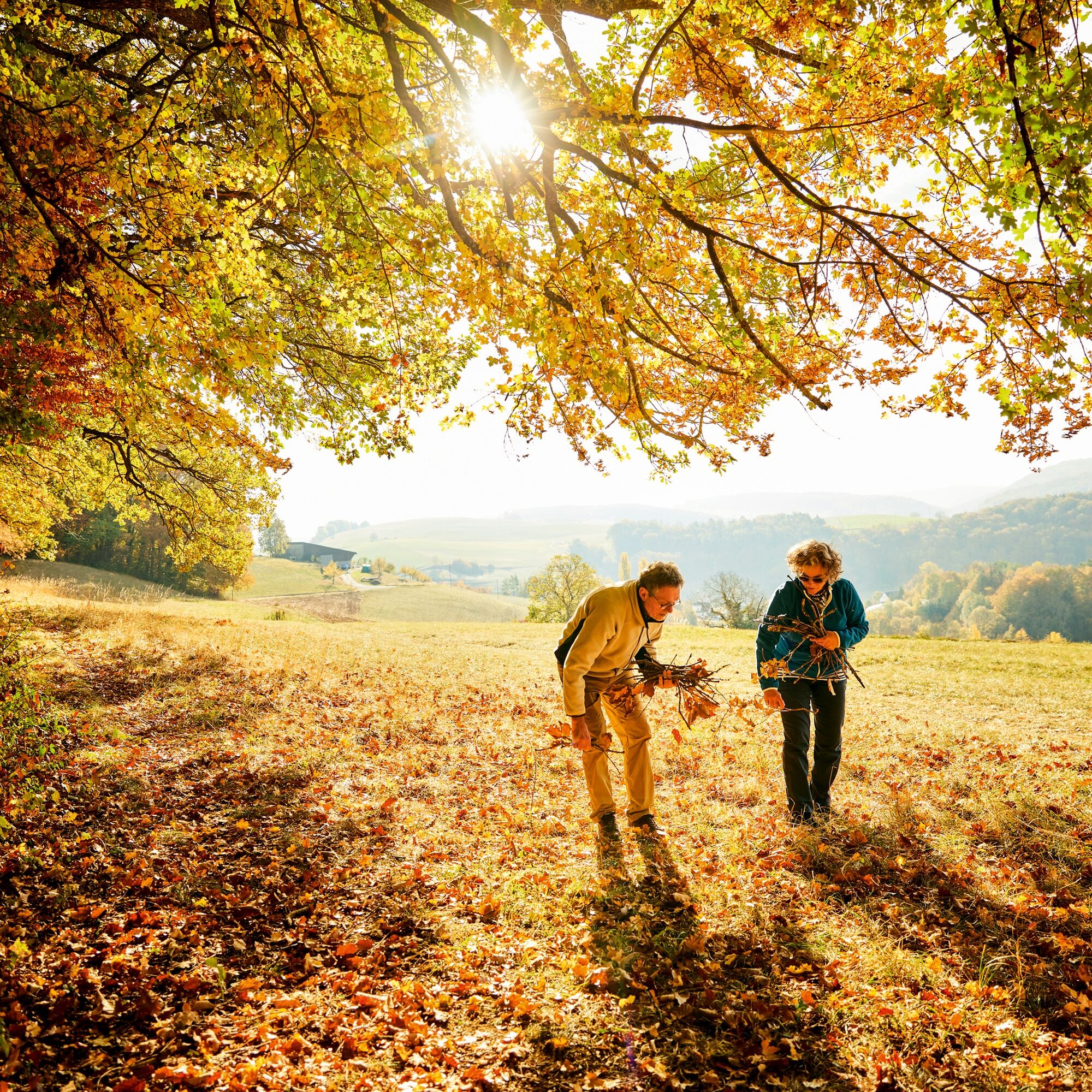
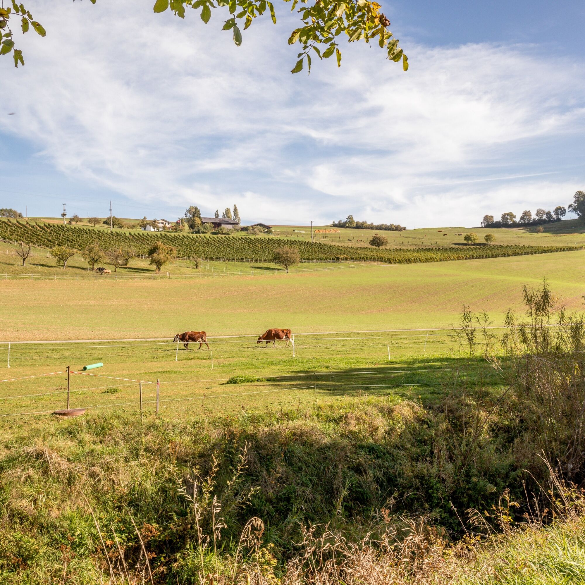
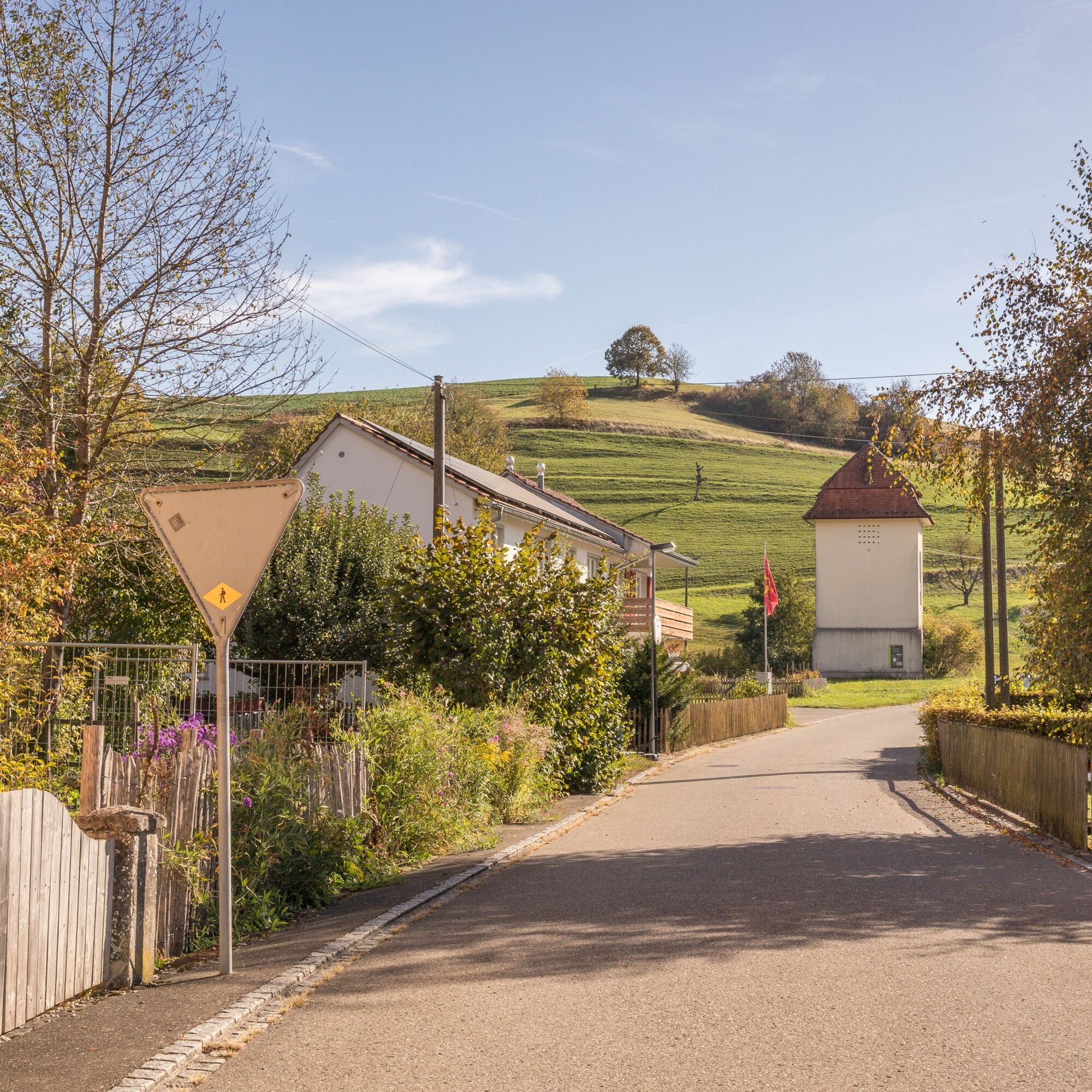
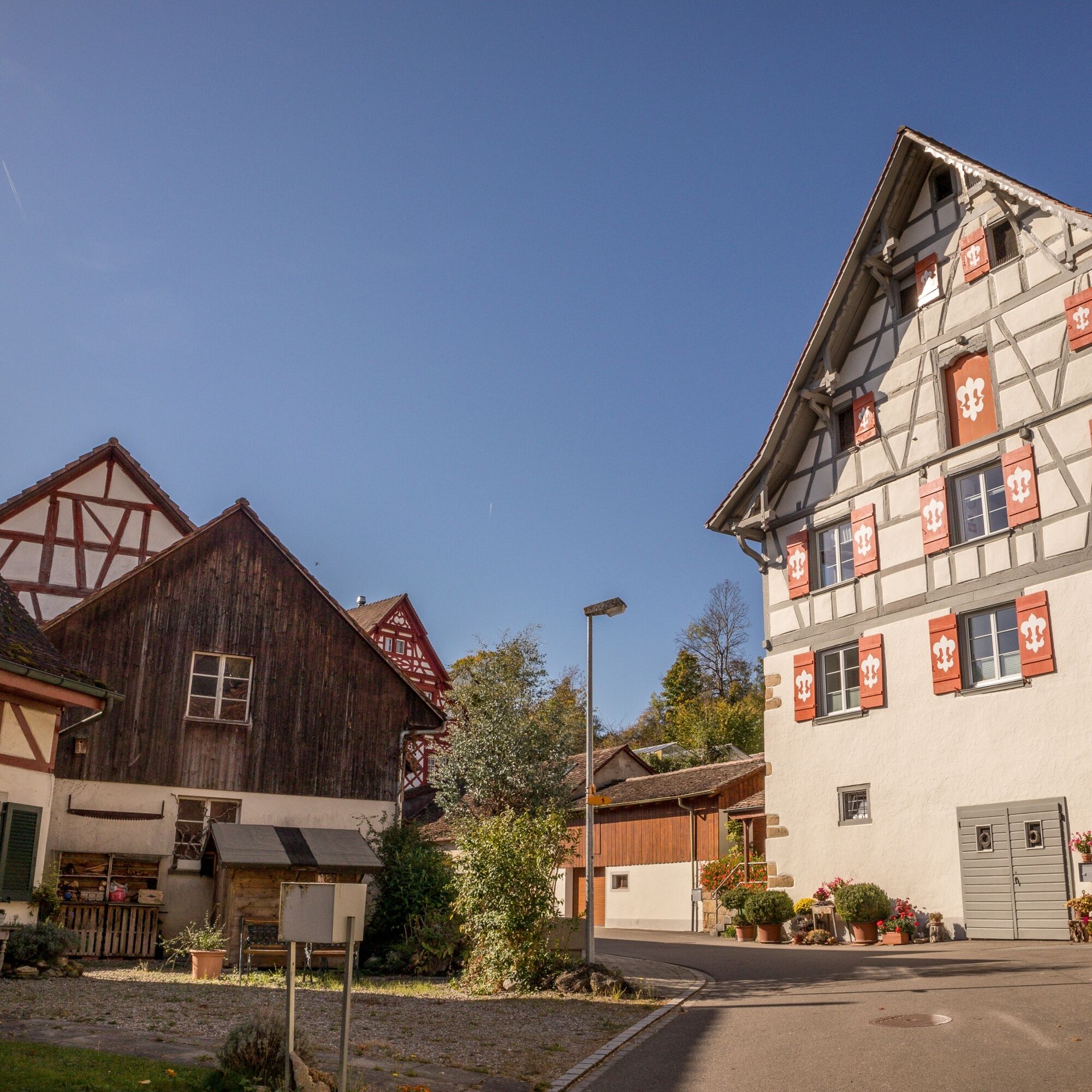
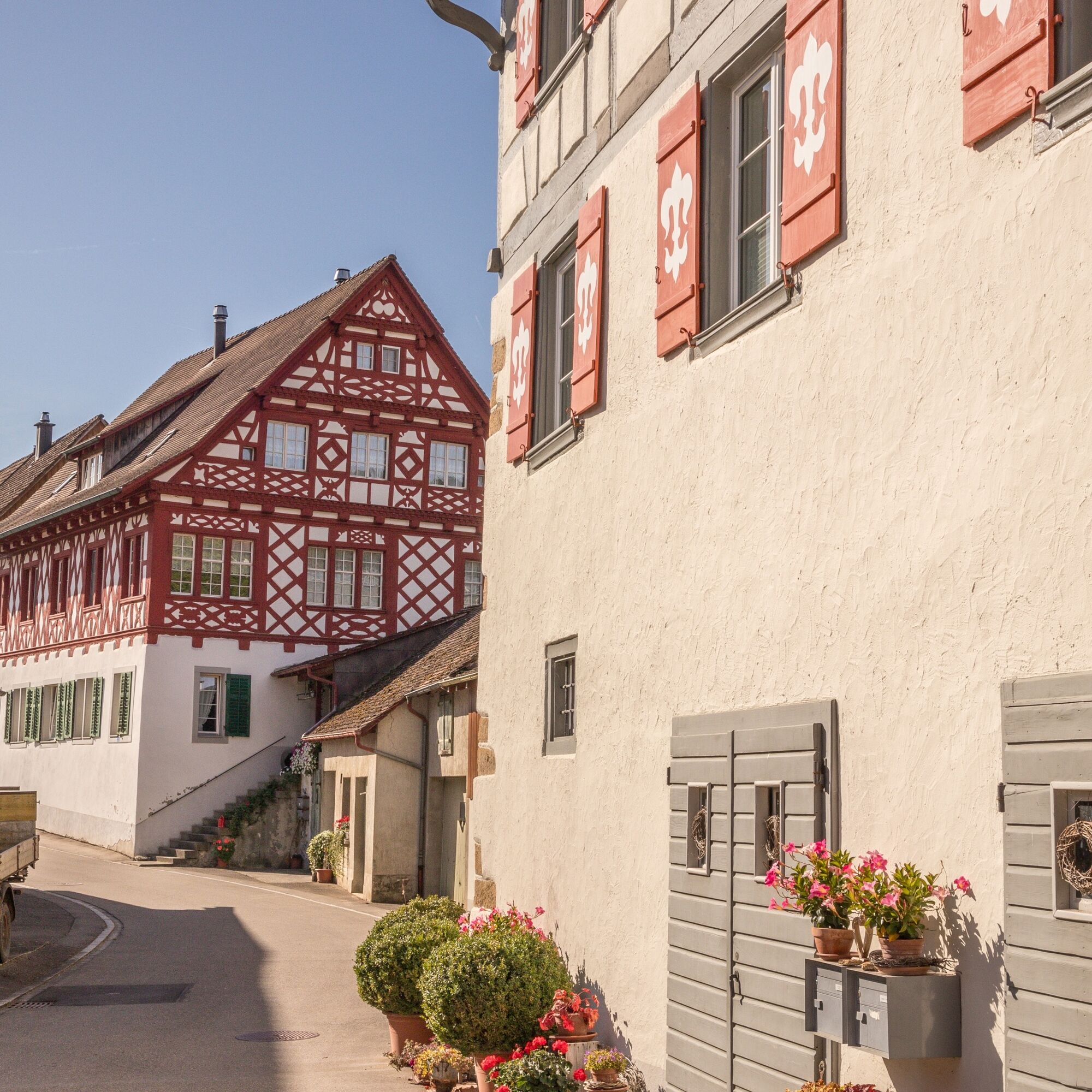
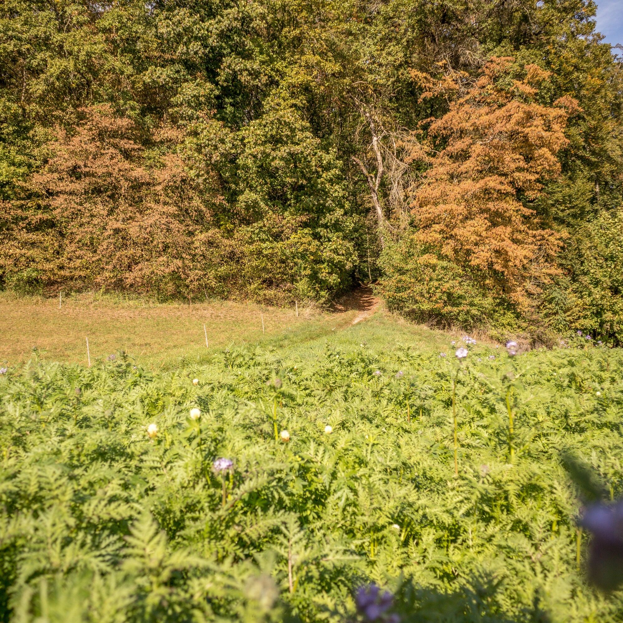
The Reiat is located in the northernmost part of Switzerland. A partly hilly region with plenty of unspoilt nature and small villages with characteristic village centres and old half-timbered houses.
The recommended starting point for the Reiat Trail is the municipality of Thayngen, which is also the main town in the Schaffhausen Reiat.
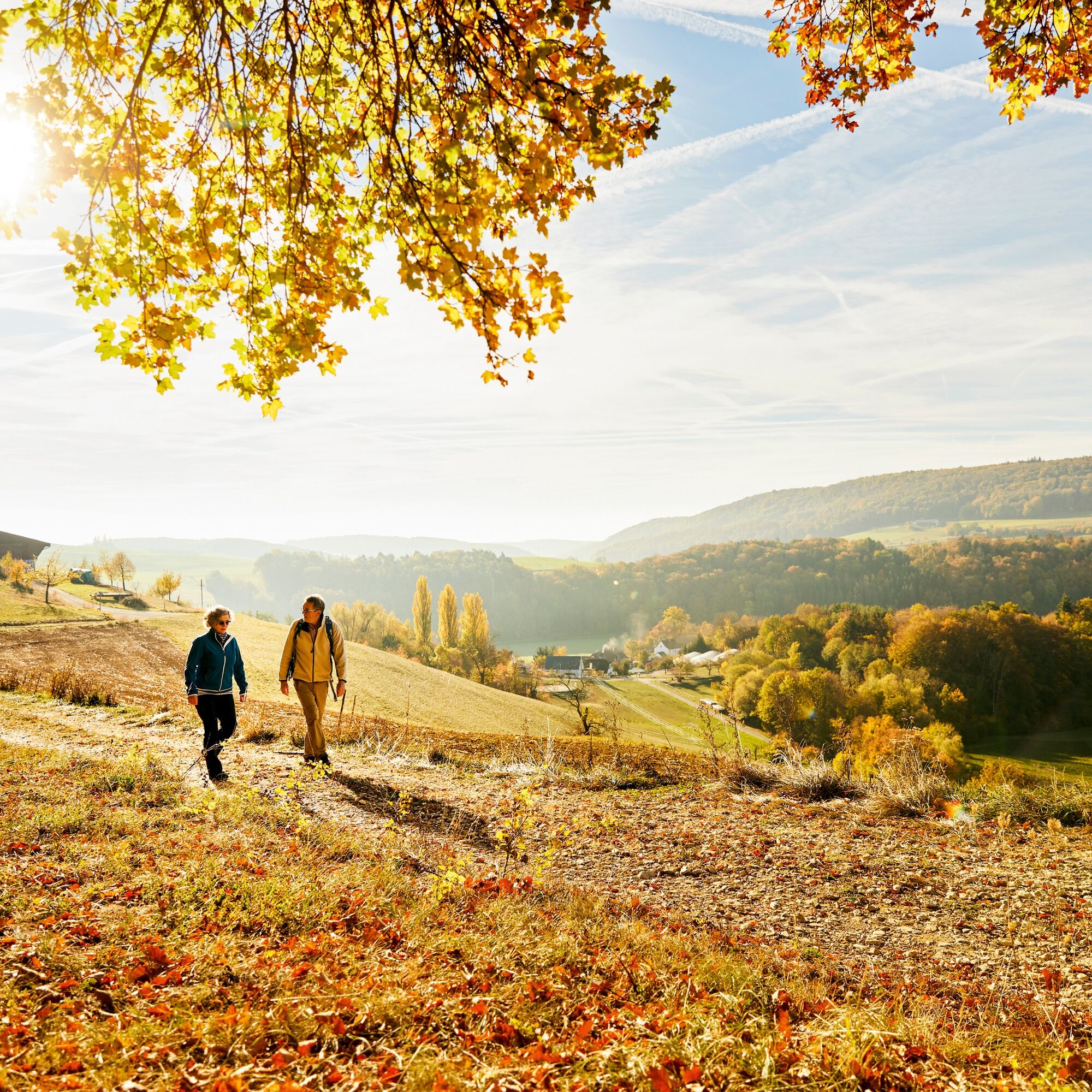
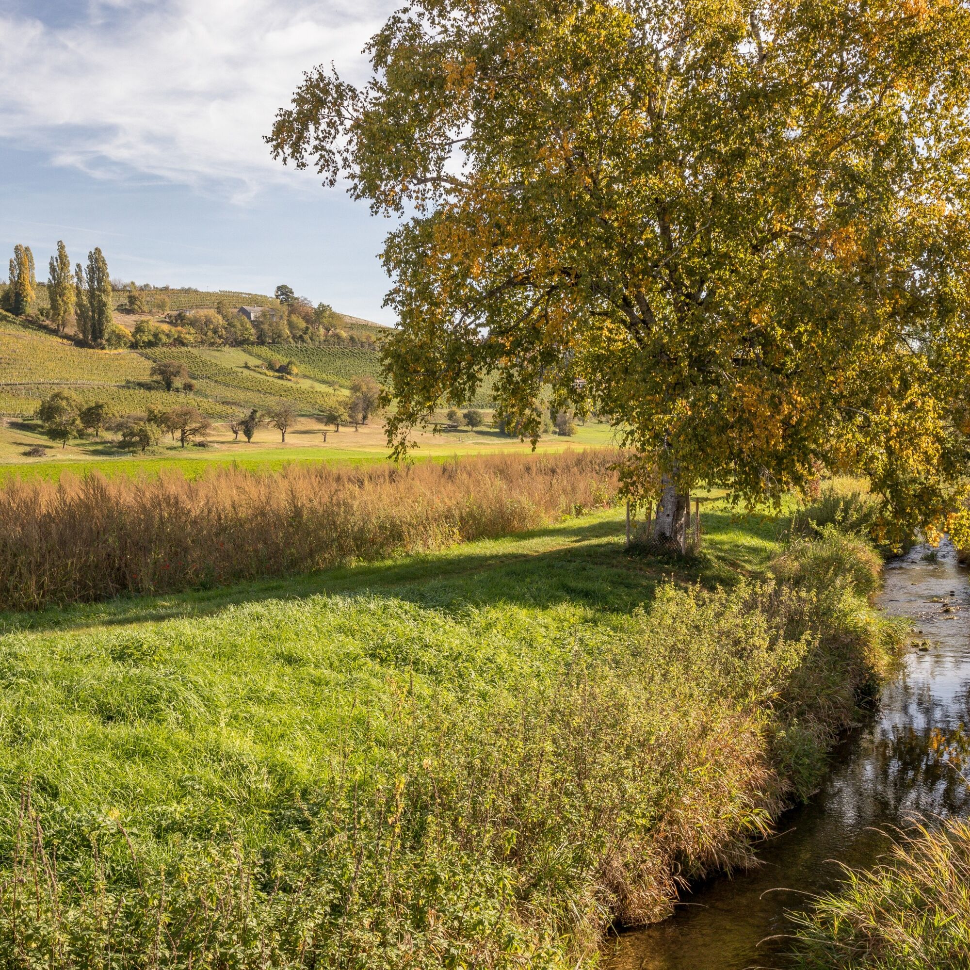
During this hike, mixed forests, vineyards, fields and meadows alternate again and again. After a gentle ascent through the Bibertal valley, you reach the hills of the Hegau.
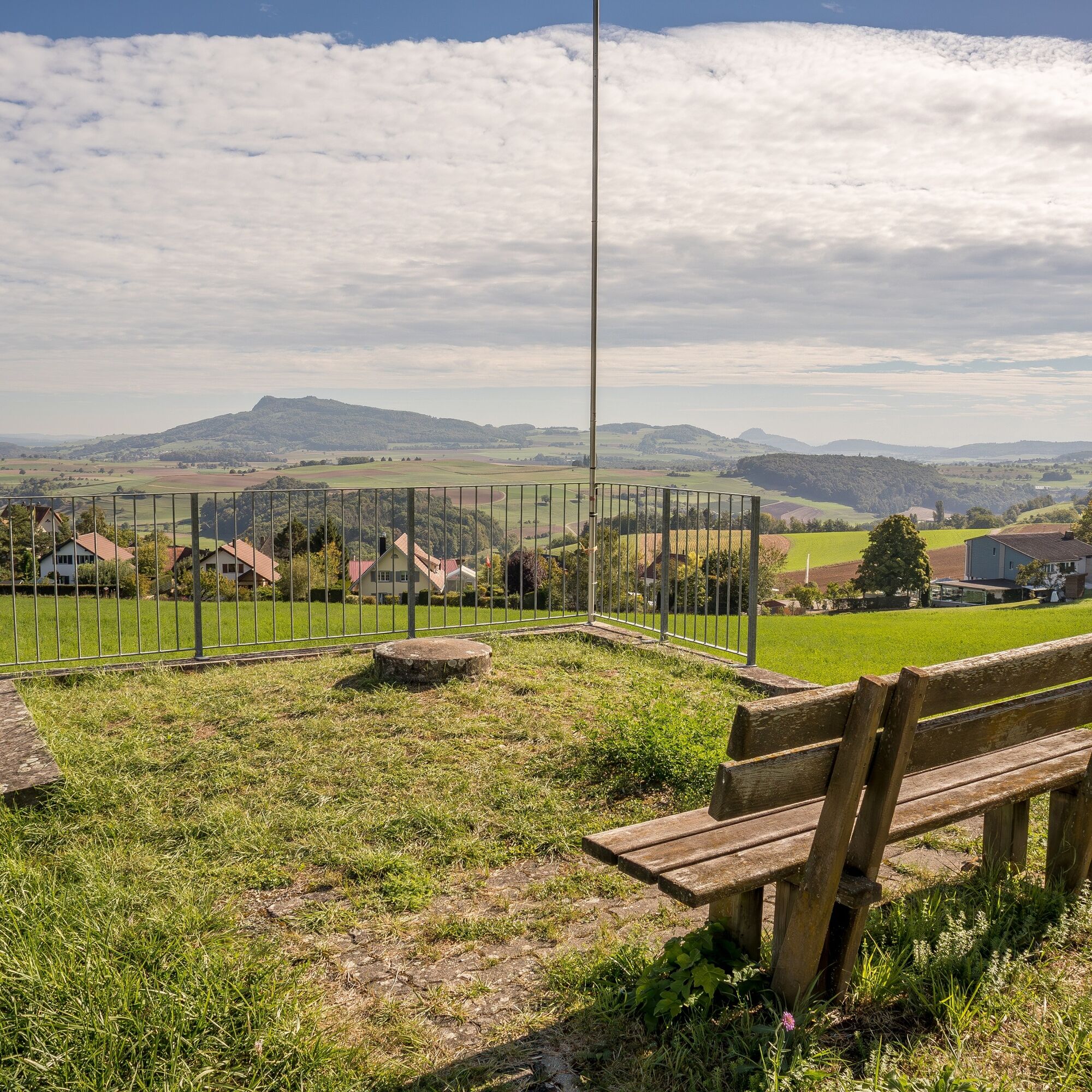
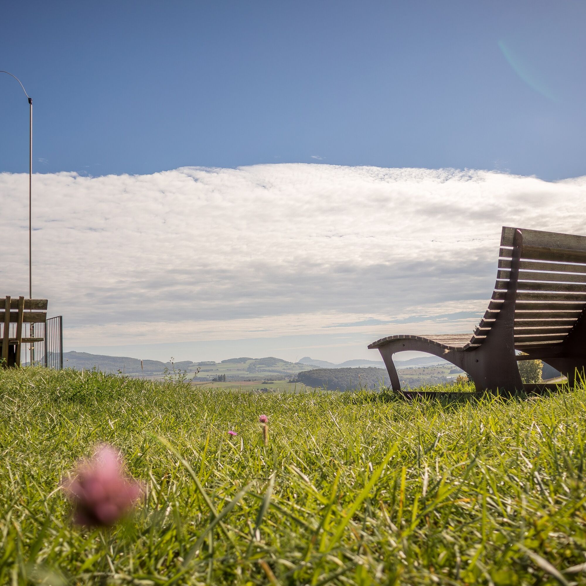
From here, you can enjoy an unforgettable panoramic view from the volcanoes in Hegau across the Mittelland to the Swiss Alps.
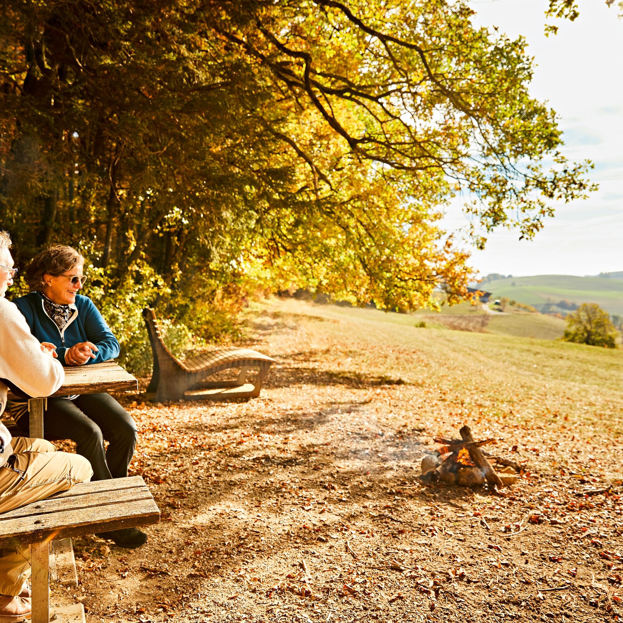
This view is best enjoyed lying on the "Reiatraum loungers" at the "Chuttler" barbecue site or on the spacious terrace of the Restaurant Reiatblick in Opfertshofen.
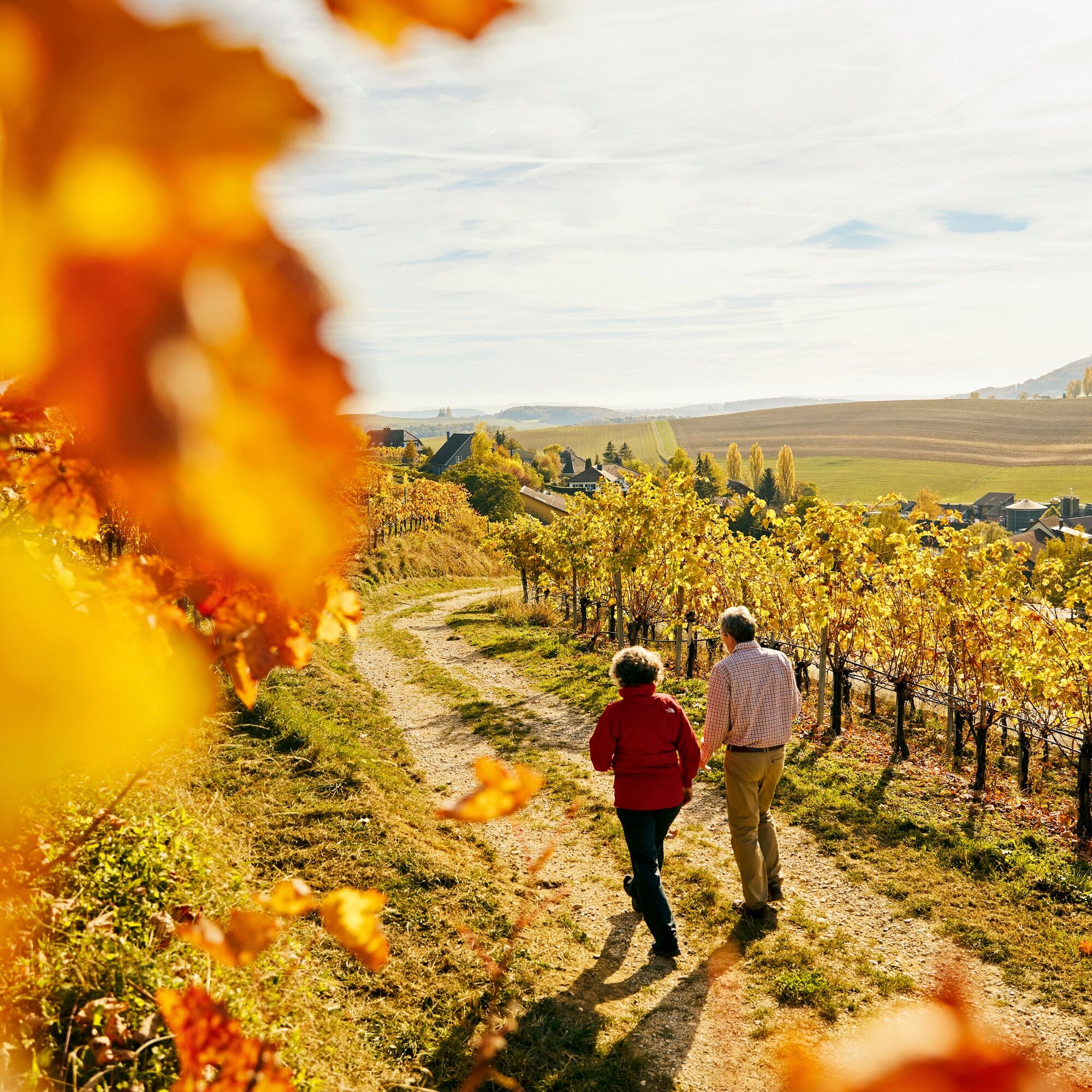
You can reach Switzerland's northernmost vineyard slope in the municipality of Altdorf along old smugglers' paths. The calcareous soils here offer excellent conditions for the vines and the winegrowers to later press one of the famous full-bodied and fruity Schaffhausen Pinot Noirs.
The route leads back to the starting point in Thayngen along narrow paths.
- Directions
-
The recommended starting point for the Reiatweg is the municipality of Thayngen, which is also the main town in the Schaffhausen Reiat.
During this hike, mixed forests, vineyards, fields and meadows alternate again and again. After a gentle ascent through the Bibertal valley, you reach the hills of the Hegau.
From here, you can enjoy an unforgettable panoramic view from the volcanoes in Hegau across the Mittelland to the Swiss Alps.
This view is best enjoyed lying on the "Reiatraum loungers" at the "Chuttler" barbecue site or on the spacious terrace of the Restaurant Reiatblick in Opfertshofen.
You can reach the northernmost vineyard slope in Switzerland in the municipality of Altdorf along old smugglers' paths. The calcareous soils here offer excellent conditions for the vines and the winegrowers to later press one of the famous full-bodied and fruity Schaffhausen Pinot Noirs.
The route leads back to the starting point in Thayngen along narrow paths.
- Highest point
- 684 m
- Endpoint
-
Stop Thayngen, Hüttenleben
- Height profile
-
 © outdooractive.com
 - Equipment
-
Good footwear, drinks and snacks for in between.
- Tips
-
From the "Chuttler" barbecue area, you can enjoy the unique view from the "Reiatraum loungers".
Swimming pool, Thayngen
- Additional information
- Directions
- Public transportation
- Parking
-
A few car parks available on site.


- Author
-
The tour SwitzerlandMobility 902: Reiatweg is used by outdooractive.com provided.


General info
-
SchaffhauserLand
1027
-
Reiat
474
-
Lohn
178