© Jolanda Spengler, Appenzeller Magazin

© Jolanda Spengler, Appenzeller Magazin

© Jolanda Spengler, Appenzeller Magazin
- Brief description
-
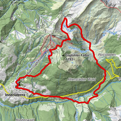
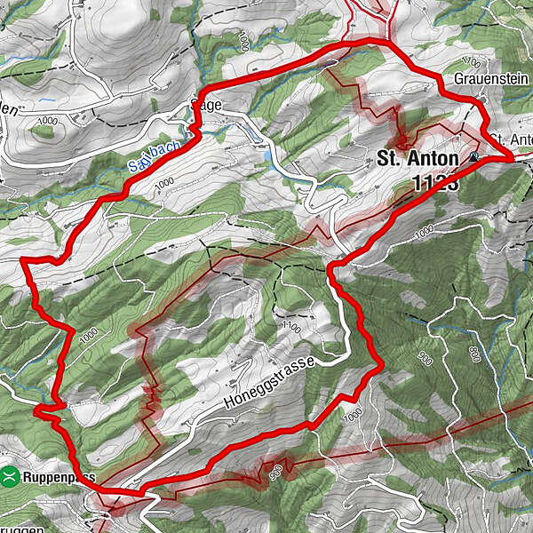
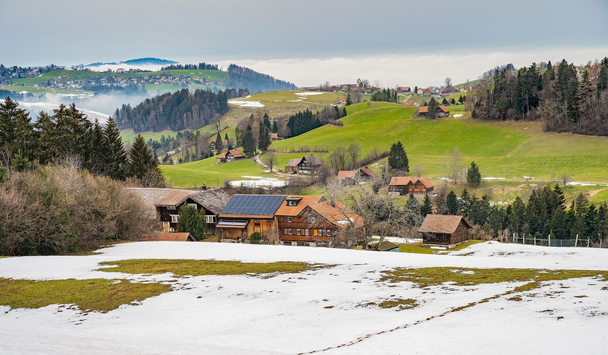
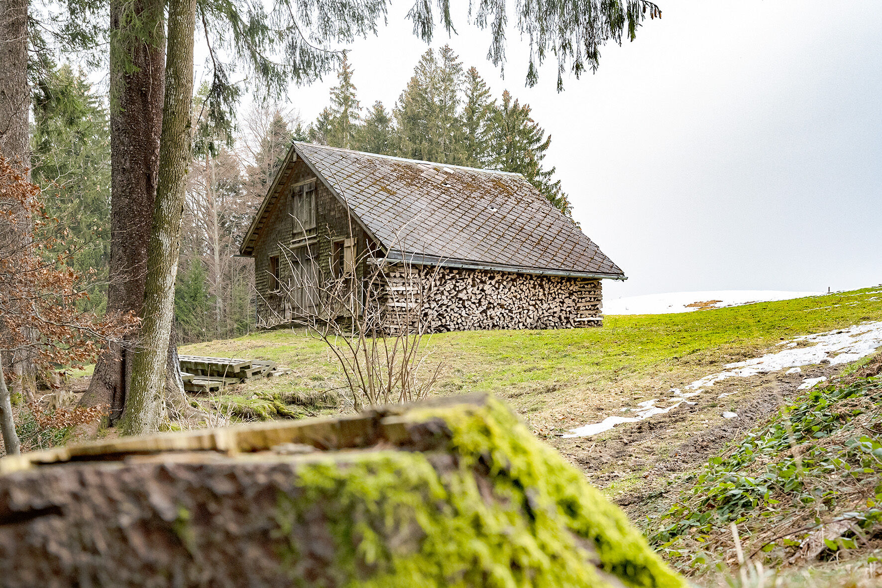
The eight-kilometre circular walk from St. Anton leads over rolling hills, through forests and across meadows past typical scattered settlements of the Appenzell region.
- Difficulty
-
medium
- Rating
-
- Route
-
St. AntonKapelle St. Anton0.0 kmSt. Anton (1,123 m)0.1 kmSäge1.8 kmLandmark4.9 kmGasthaus Landmark5.0 kmzum Wilden Mann7.3 kmSt. Anton (1,123 m)7.9 kmSt. Anton8.1 kmKapelle St. Anton8.2 km
- Best season
-
JanFebMarAprMayJunJulAugSepOctNovDec
- Description
-
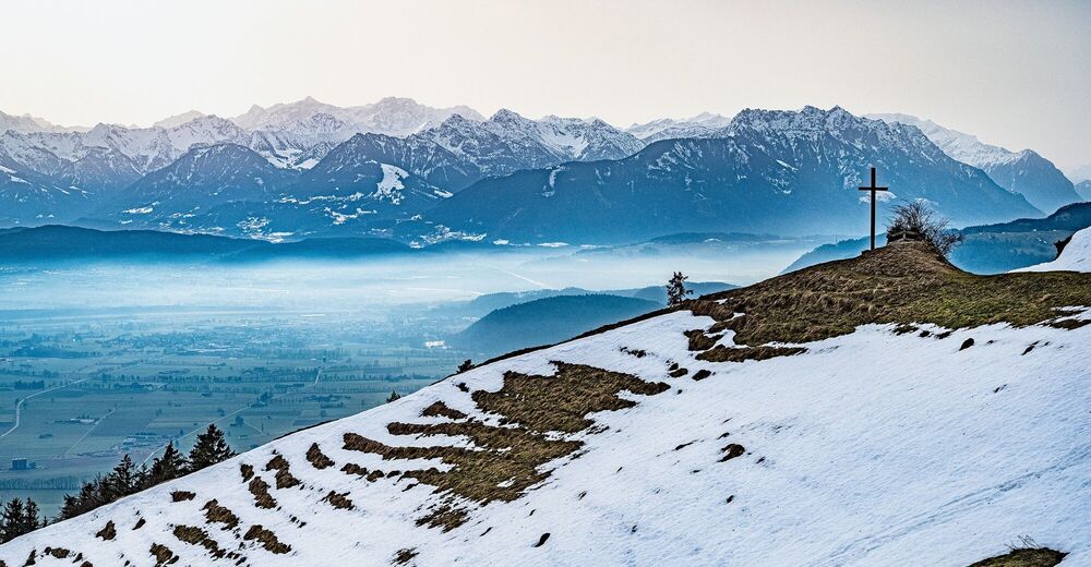
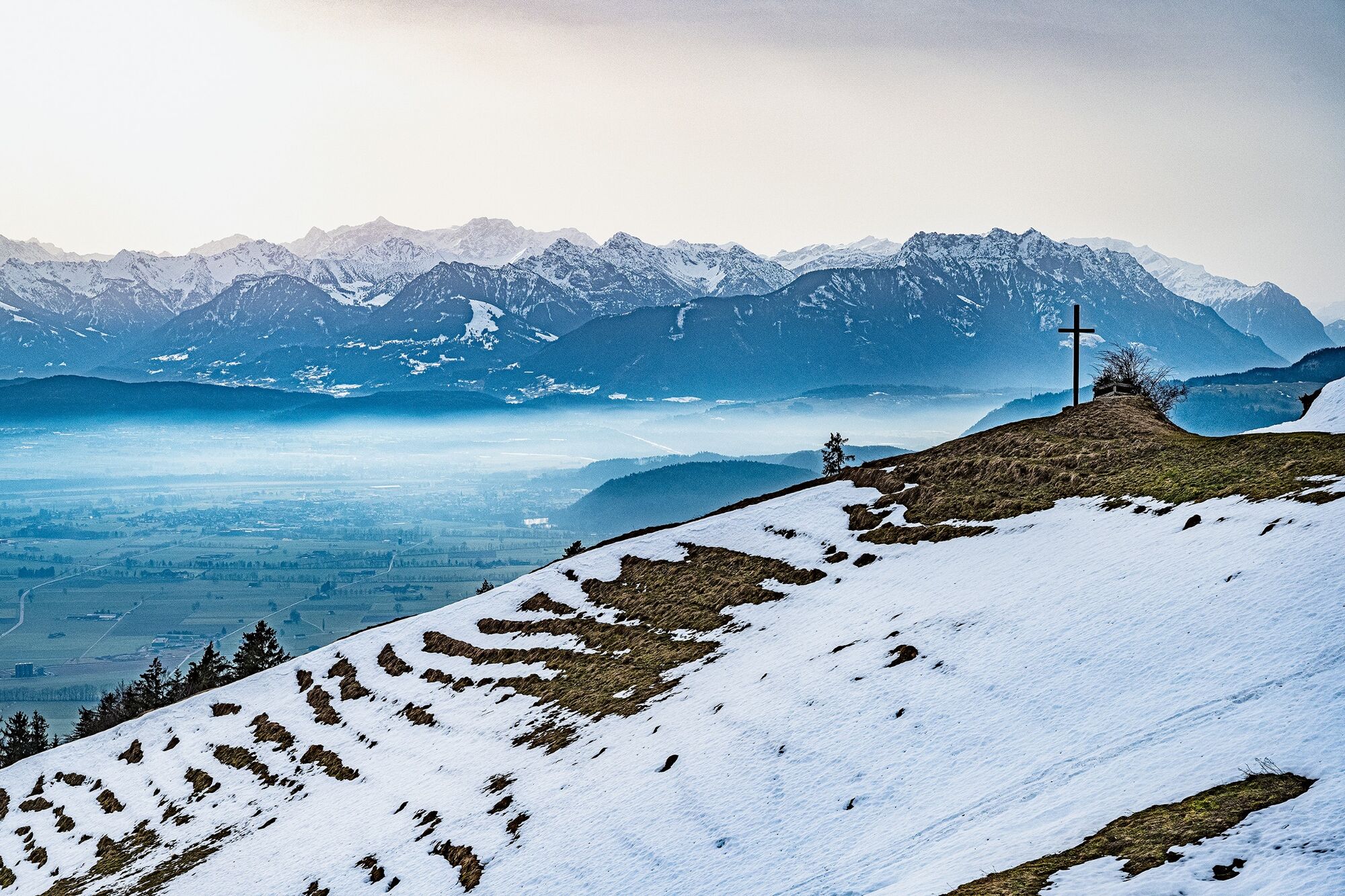
Rolling hills, deep ravines and the Ruppen Pass With the hills of the Appenzell region above and the flat Rhine valley below – on the hike from St. Anton down to Landmark, the border between the Innerrhoden district of Oberegg and Altstätten in St. Gallen is not far away. The route leads back to the Ausserrhoden municipality of Wald in a constant up and down through forests and across meadows. Farms are spread across the hills forming a typical scattered settlement landscape.
Text & pictures Jolanda Spengler
- Highest point
- 1,106 m
- Endpoint
-
St. Anton
- Height profile
-
 © outdooractive.com
 - Equipment
-
Good Footwwear, hiking or trekking shoes
- Additional information
- Public transportation
-
With the post bus from Heiden, Trogen or Altstätten to St. Anton (Oberegg), bus stop Kapelle
- Parking
-
At the post bus stop
- Author
-
The tour Rolling hills, deep ravines and the Ruppen Pass is used by outdooractive.com provided.
GPS Downloads


Other tours in the regions
-
St. Gallen - Bodensee
2067
-
St. Galler Rheintal
1334
-
Wald AR
233