- Brief description
-
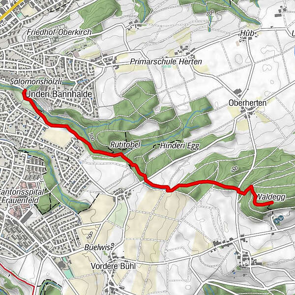
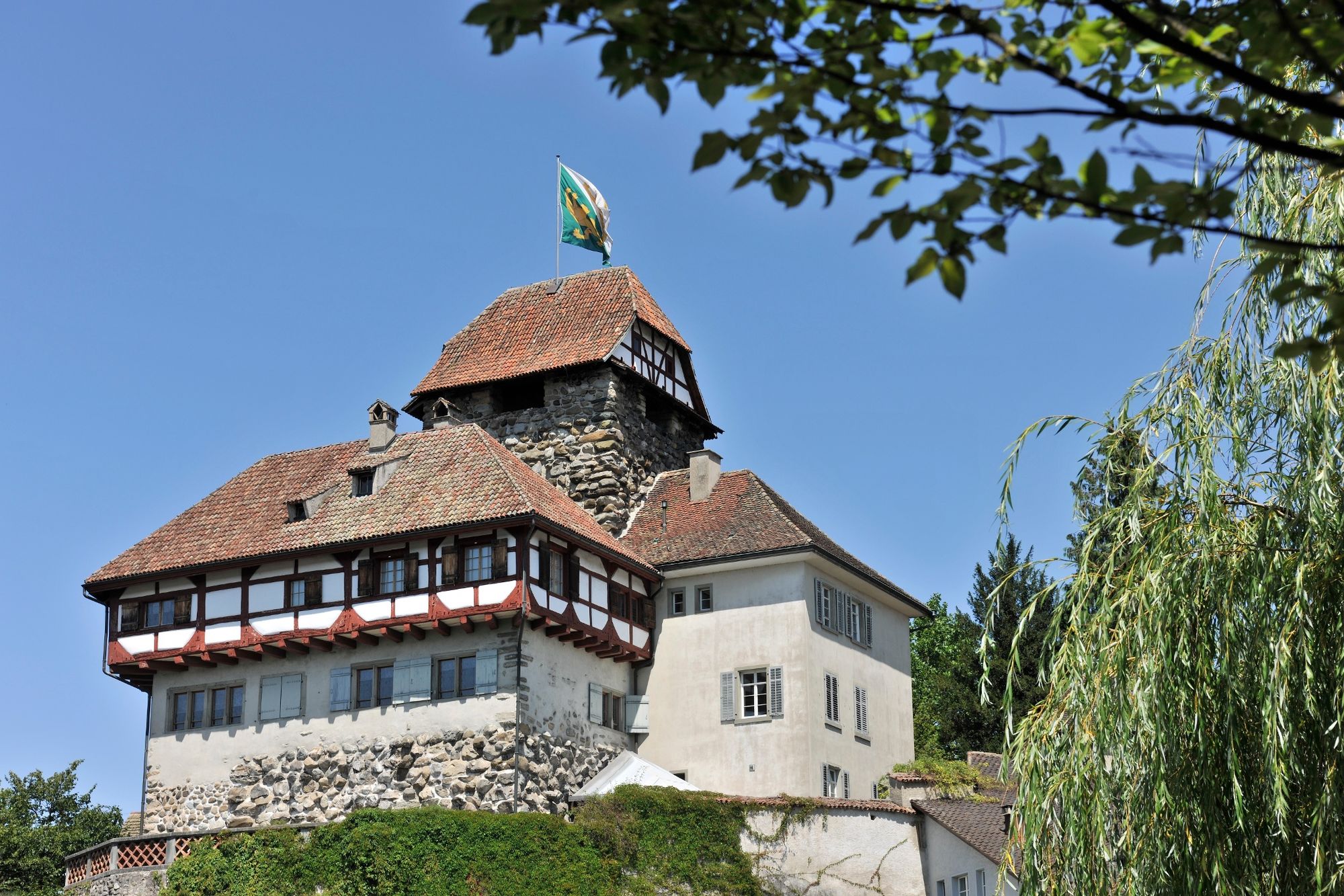
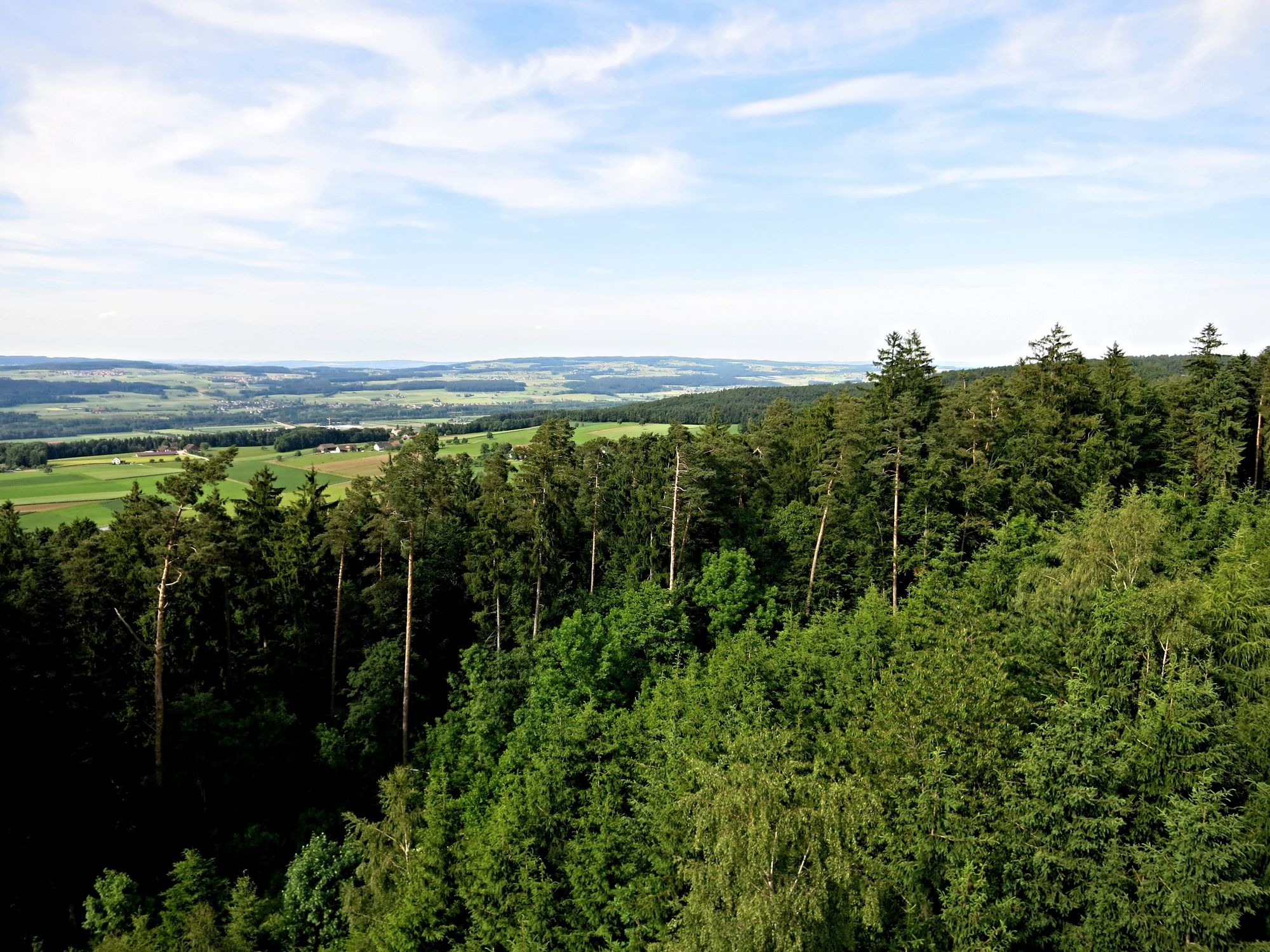
Der Pfad führt von Frauenfeld durch den Mühletobelwald hinauf zum Frauenfelder Hausberg, dem Stählibuck. Es werden die Waldarten, Gehölze, Sträucher mit Informationstafeln erklärt.
- Difficulty
-
easy
- Rating
-
- Route
-
Frauenfeld (417 m)0.0 kmMeiser0.0 km
- Best season
-
JanFebMarAprMayJunJulAugSepOctNovDec
- Highest point
- 645 m
- Endpoint
-
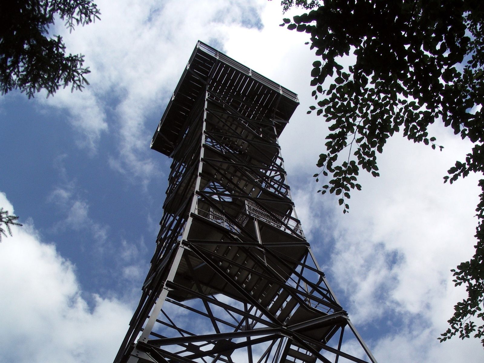
Frauenfeld, Stählibuck
- Height profile
-
 © outdooractive.com


- Author
-
The tour Waldlehrpfad Mühletobel is used by outdooractive.com provided.
GPS Downloads


General info
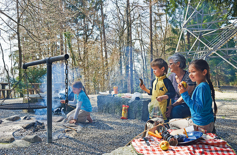
Refreshment stop
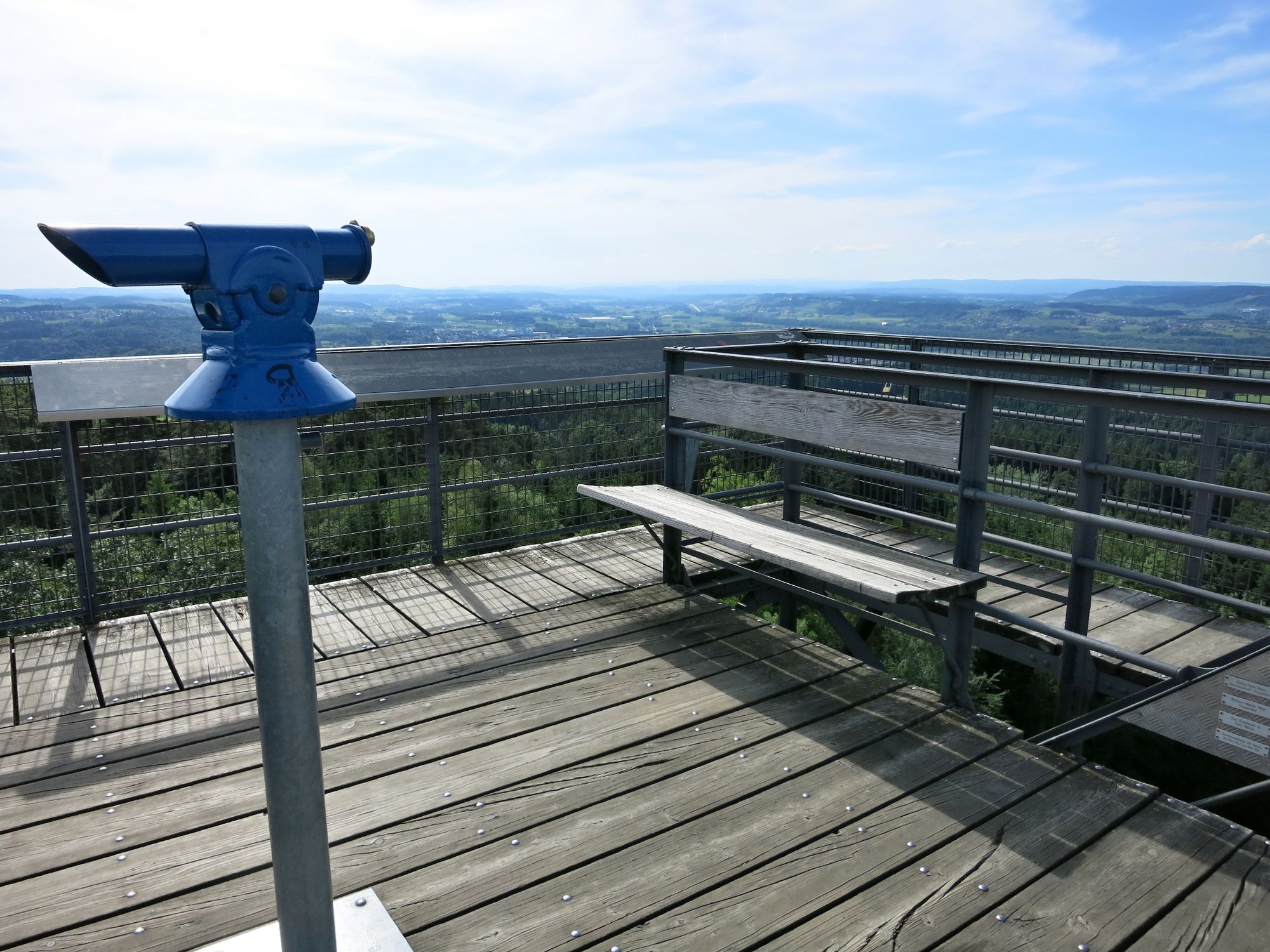
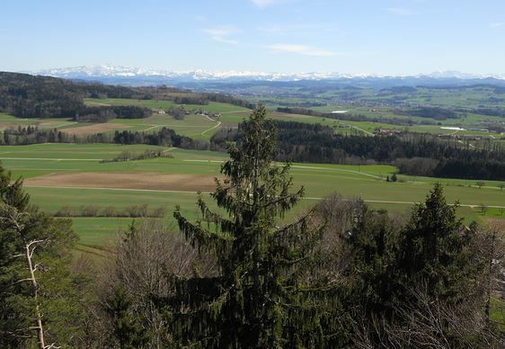
A lot of view
Other tours in the regions
-
SchaffhauserLand
1027
-
Regio Frauenfeld
523
-
Frauenfeld
116