© Tourenplaner SCHWEIZ - Jochen Ihle

© Tourenplaner SCHWEIZ - Jochen Ihle
© Tourenplaner SCHWEIZ - Jochen Ihle

© Tourenplaner SCHWEIZ - Jochen Ihle
© Tourenplaner SCHWEIZ - Jochen Ihle

© Tourenplaner SCHWEIZ - Jochen Ihle

© Tourenplaner SCHWEIZ - Jochen Ihle

© Tourenplaner SCHWEIZ - Jochen Ihle

© Tourenplaner SCHWEIZ - Jochen Ihle

© Tourenplaner SCHWEIZ - Jochen Ihle

- Brief description
-
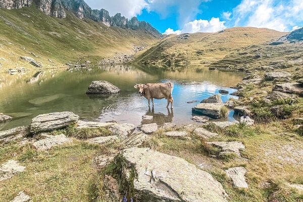
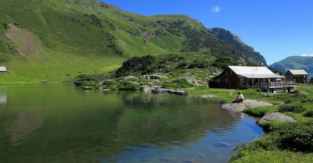
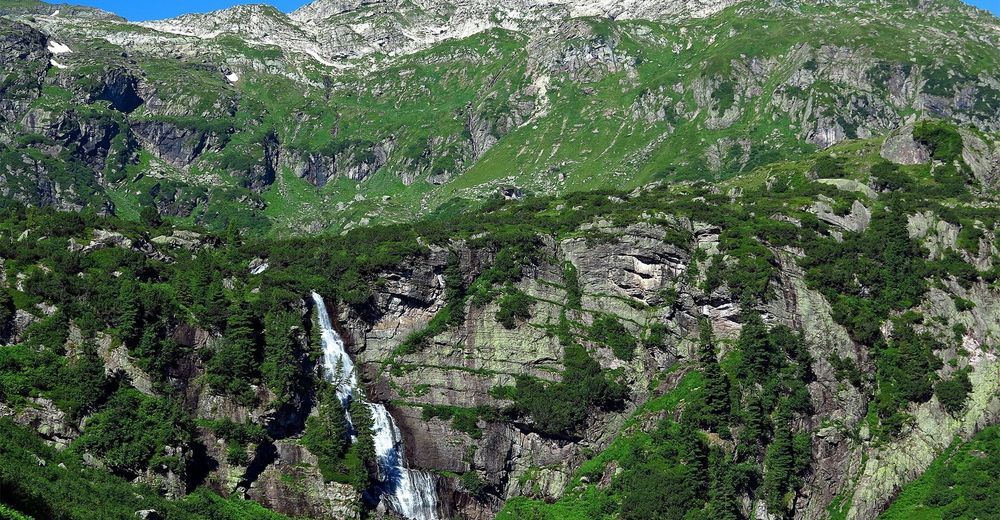
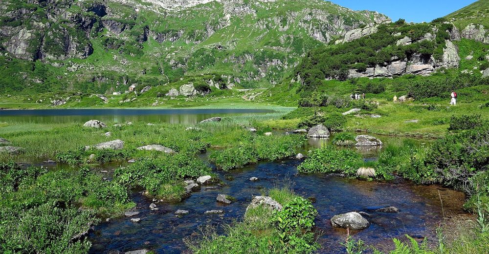
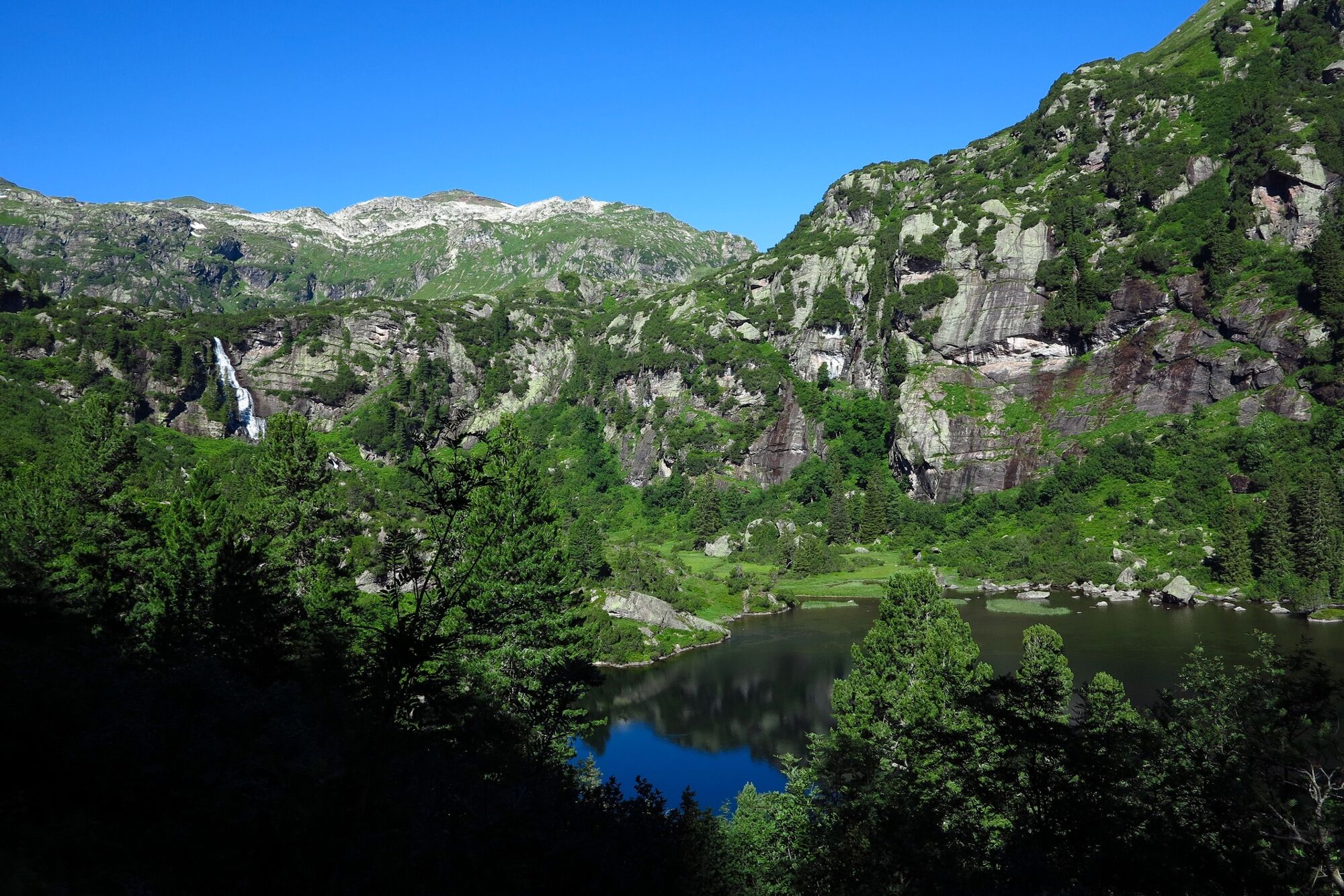
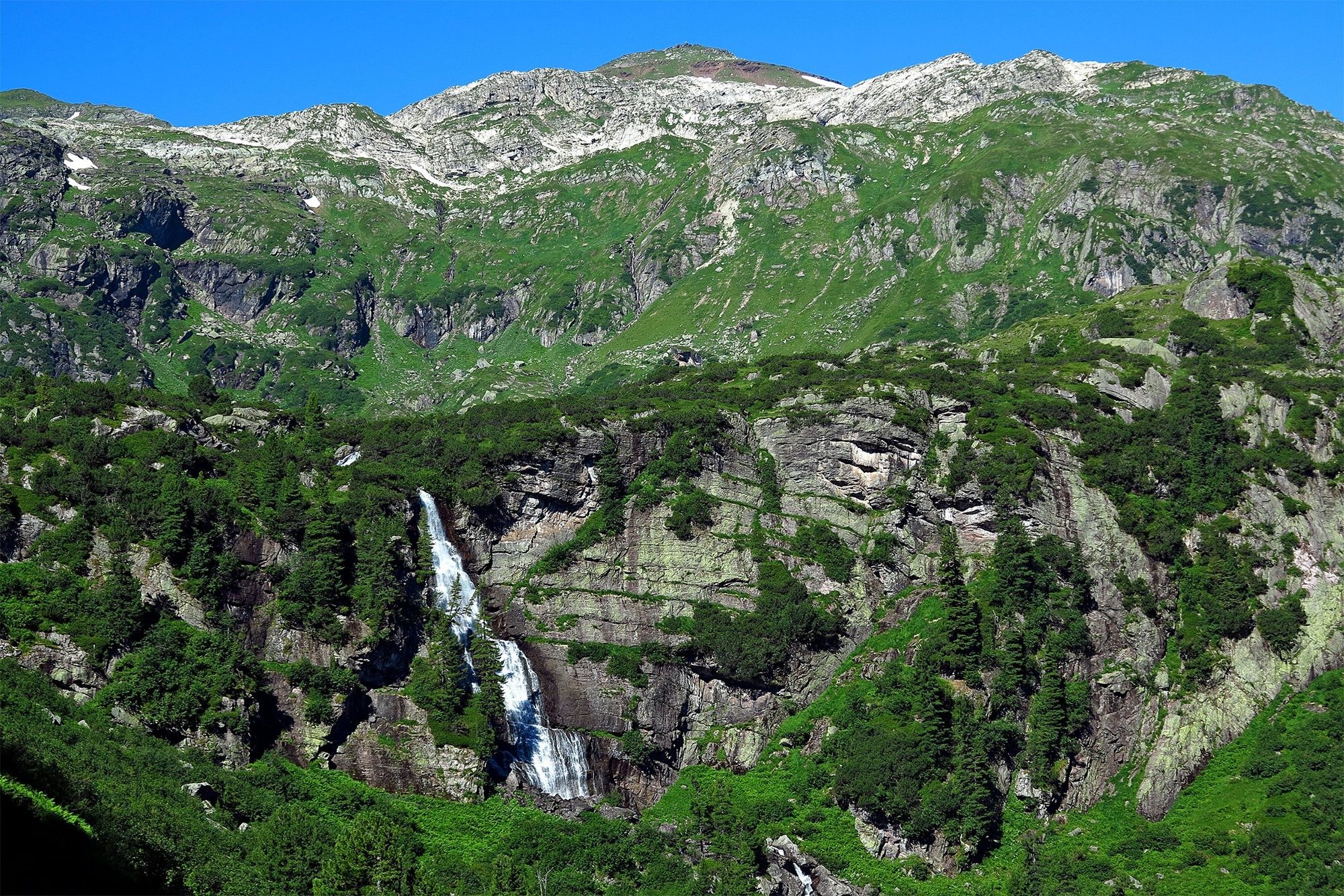
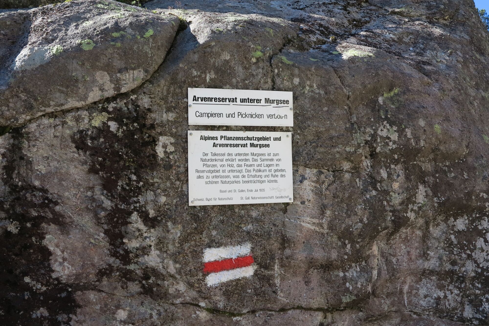
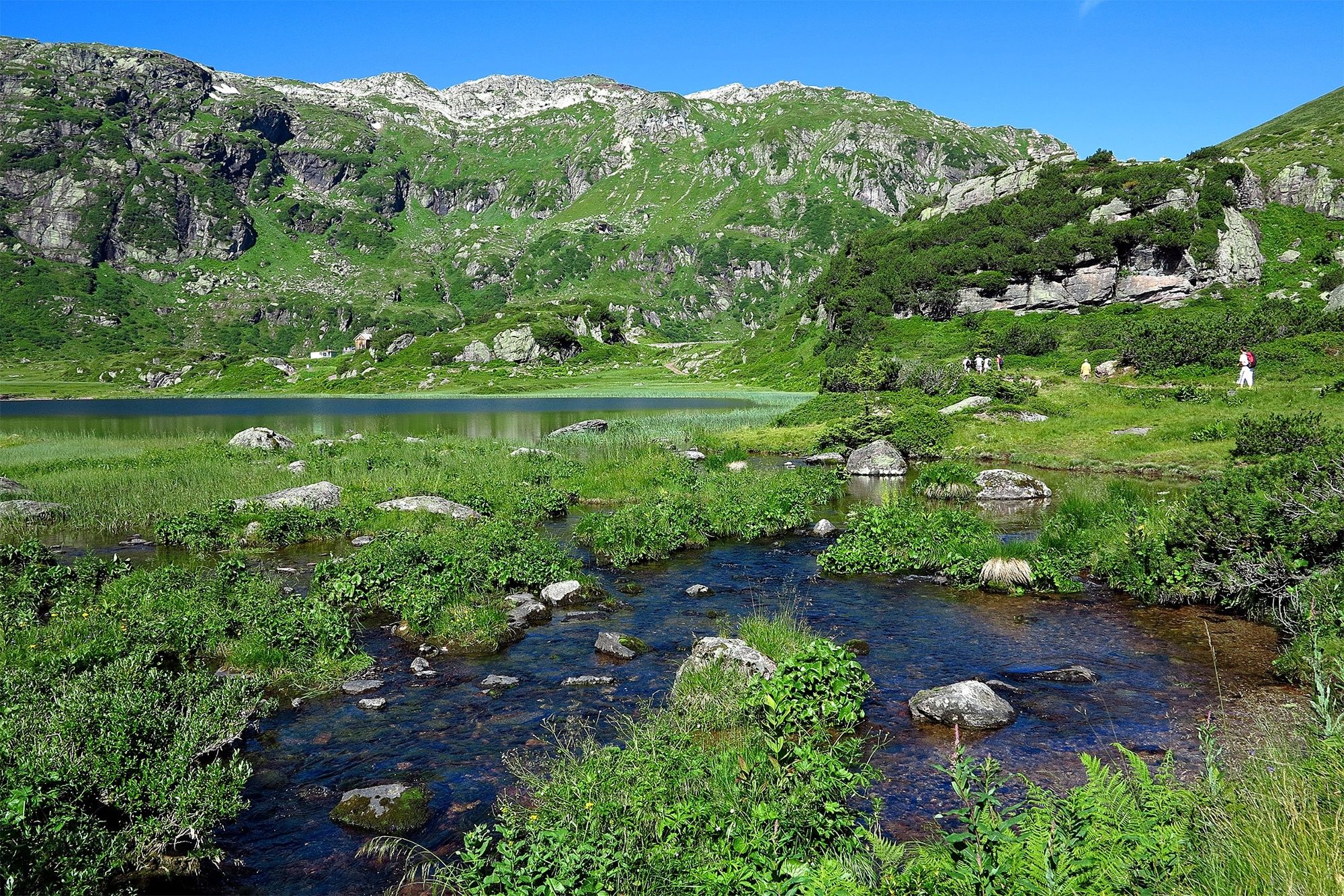
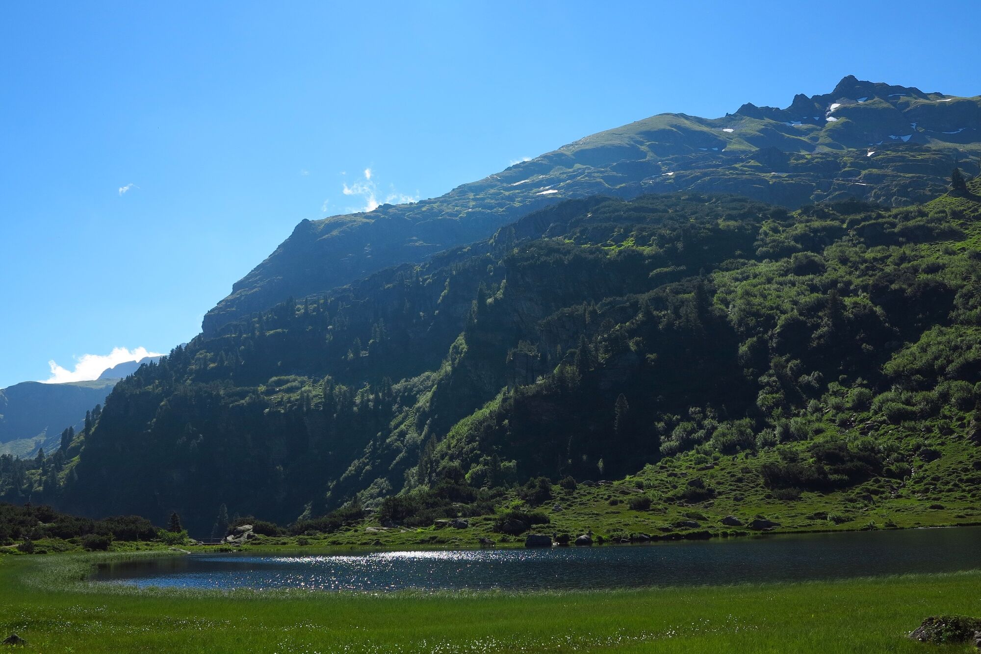
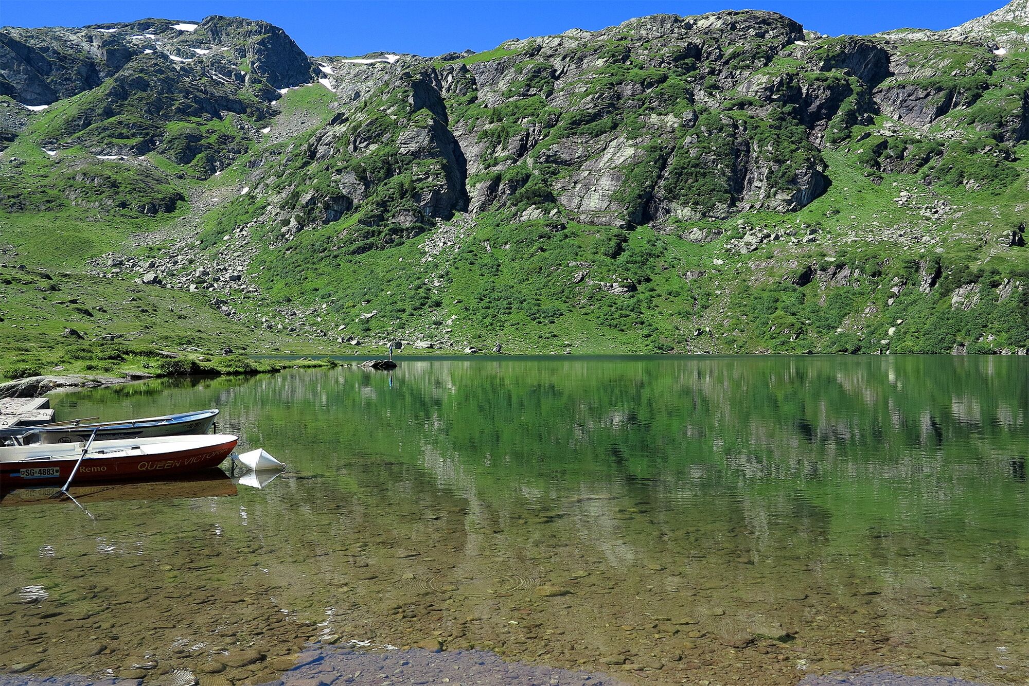
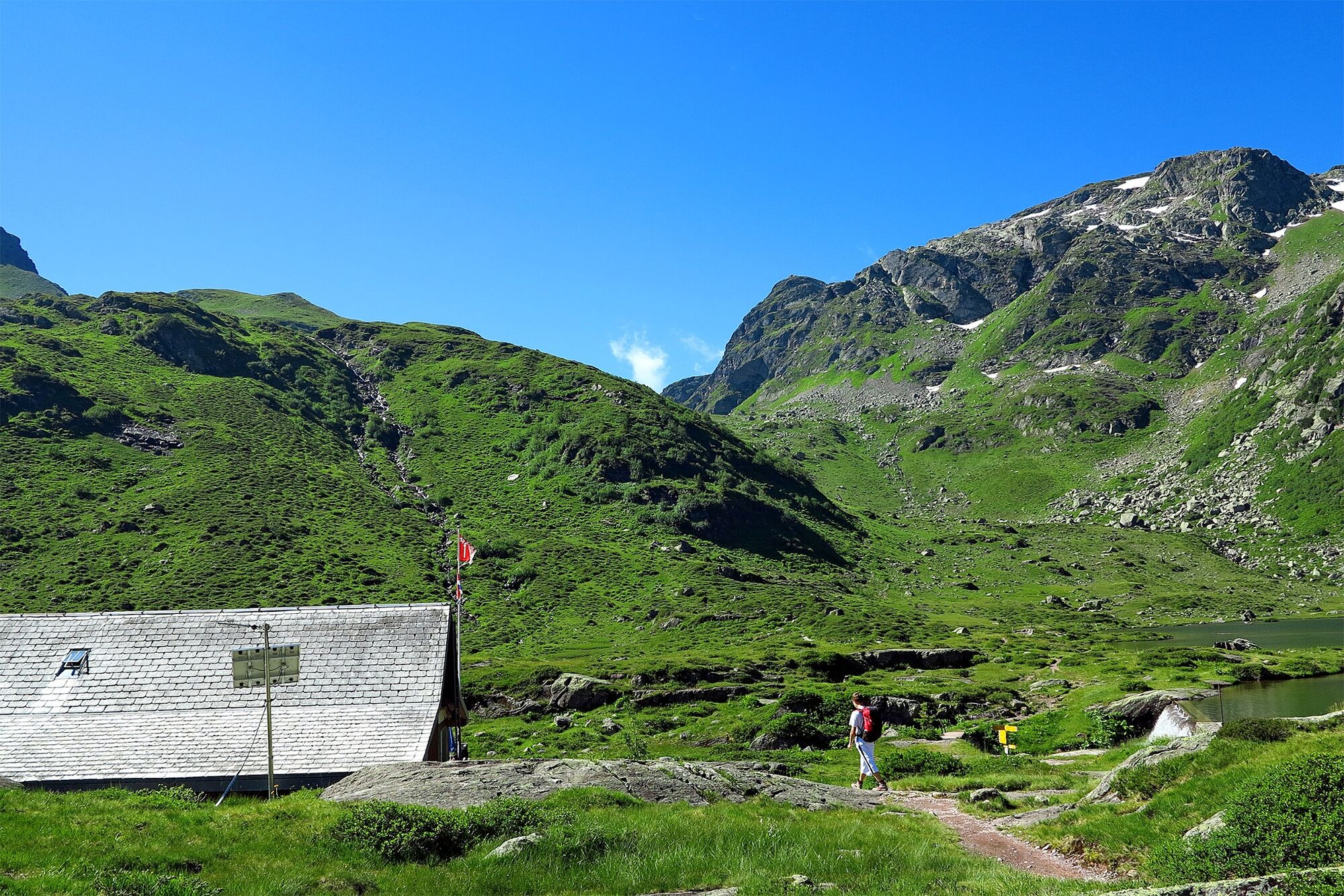
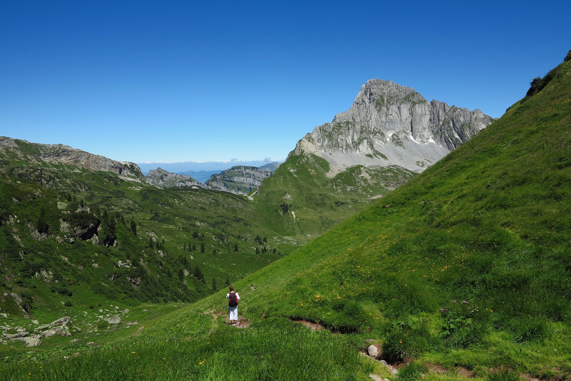
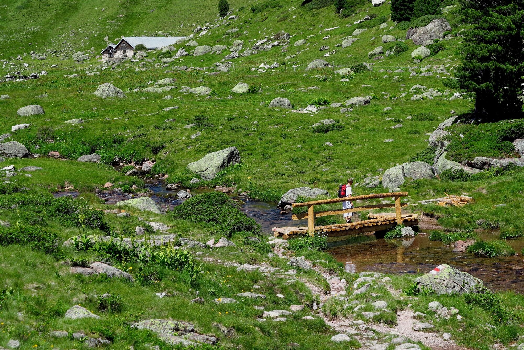
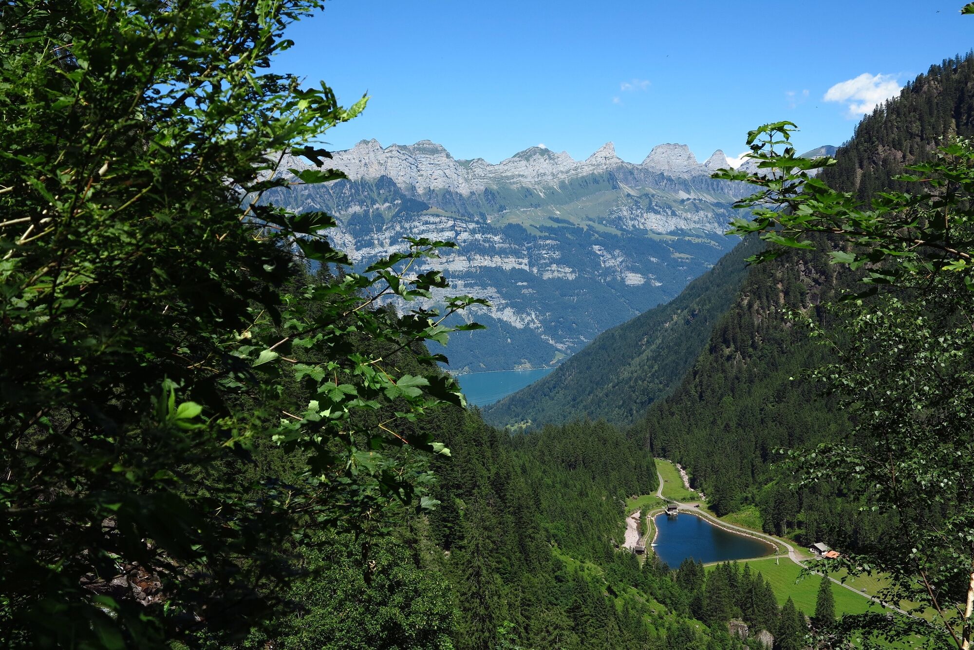
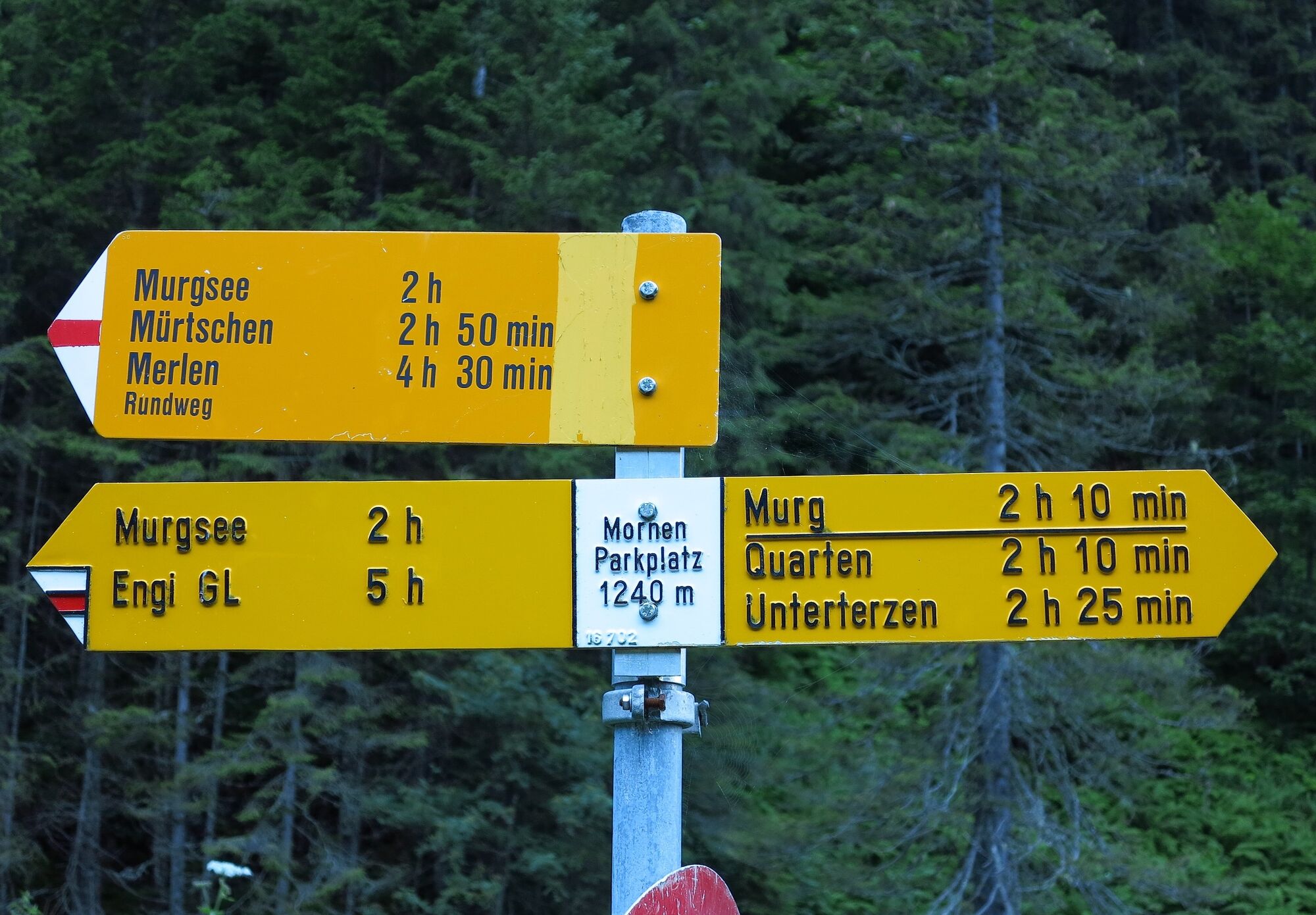
Eine herrliche Rundwanderung eröffnet sich im Oberen Murgtal südlich des Walensees. Landschaftliche Höhepunkte sind das Mürtschenmassiv, ein Arvenwald und die drei Murgseen.
- Difficulty
-
medium
- Rating
-
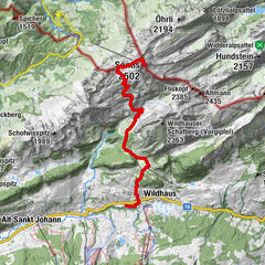
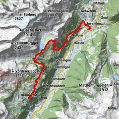
- Route
-
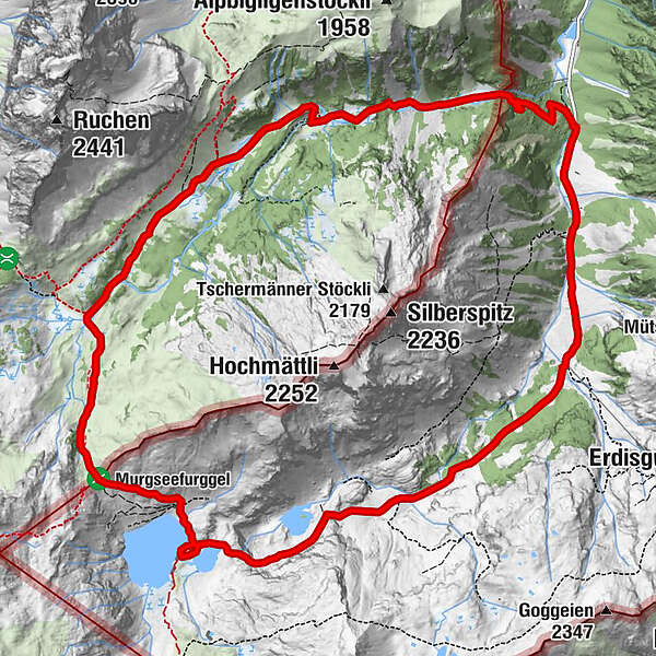
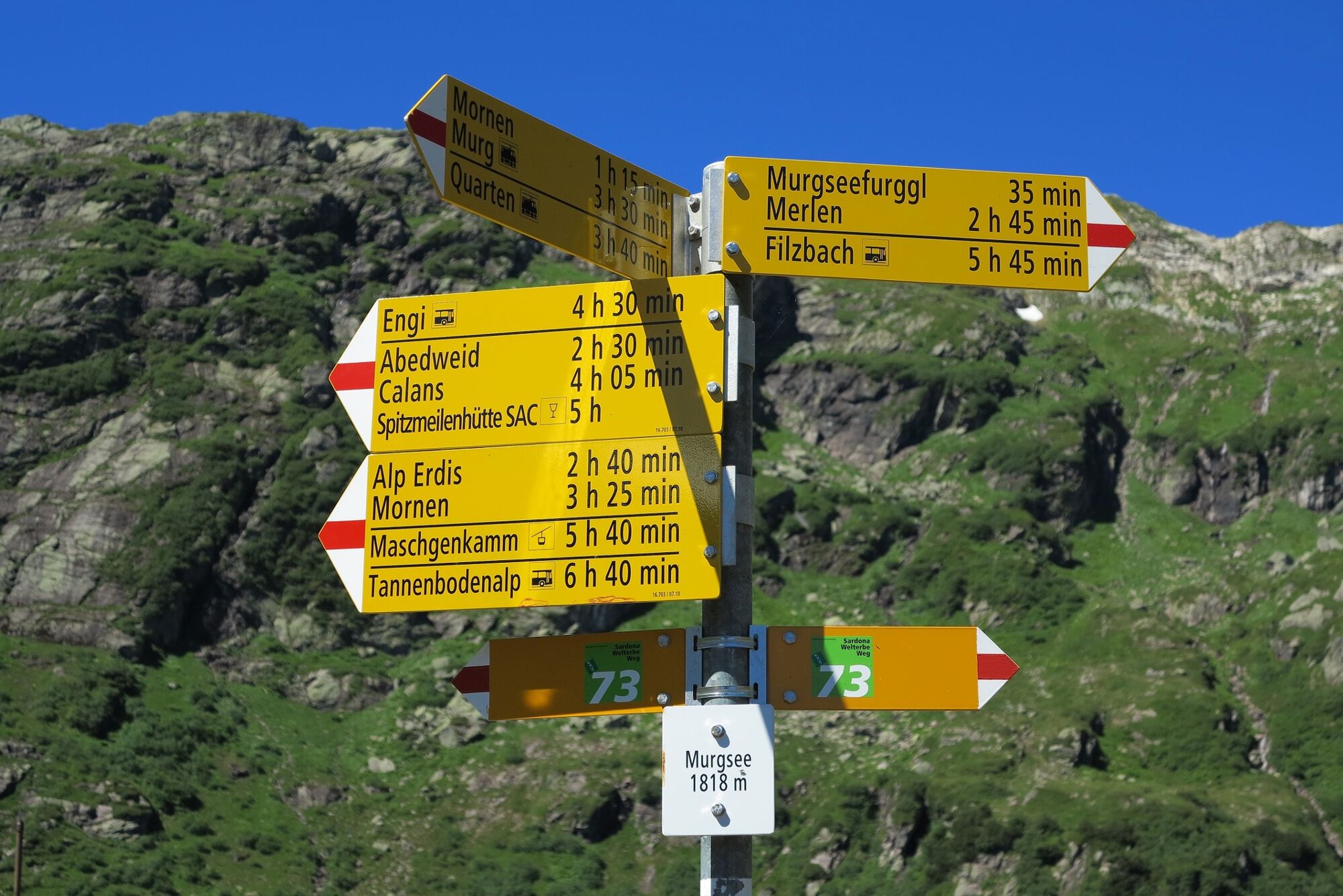
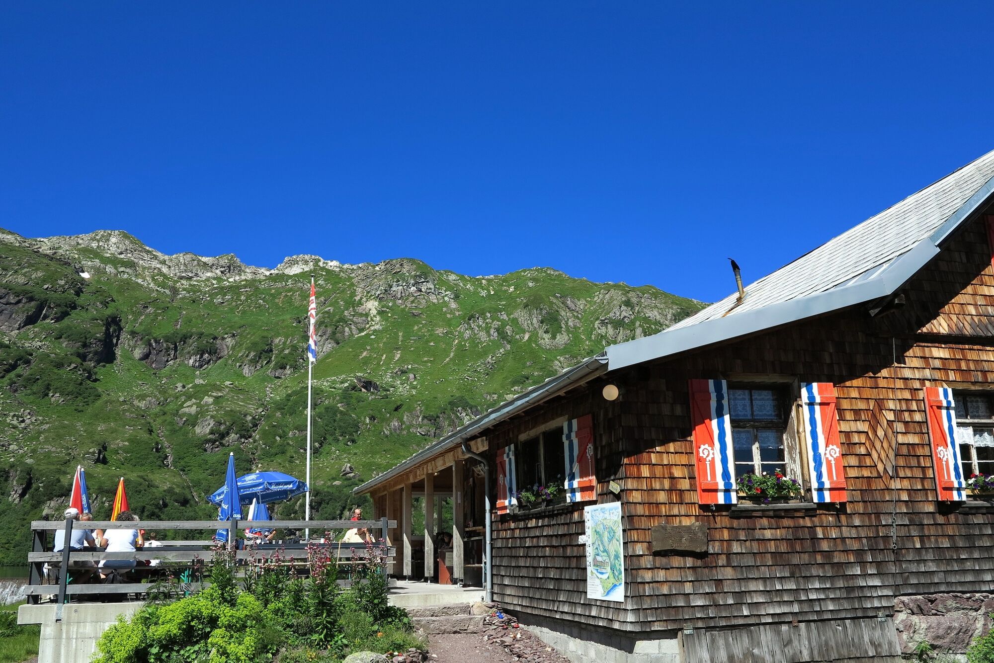
Murgbachfall5.4 kmMurgseehütte6.0 kmBerggasthaus Murgsee6.0 kmUnter Mürtschen11.6 kmFeldriet11.7 kmIm Gspon13.0 kmGsponbachfall13.2 km
- Best season
-
JanFebMarAprMayJunJulAugSepOctNovDec
- Highest point
- 1,979 m
- Endpoint
-
Merlen, Parkplatz
- Height profile
-
 © outdooractive.com


-

-
AuthorThe tour Murgseen-Rundwanderung is used by outdooractive.com provided.
GPS Downloads


General info
Refreshment stop
Cultural/Historical
Flora
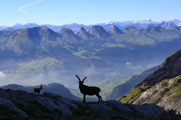
Fauna
A lot of view
Other tours in the regions
-
Glarnerland
1972
-
Amden - Weesen
871
-
Mühlehorn
227