© Appenzellerland Tourismus AR - Jolanda Spengler, Appenzeller Verlag

© Appenzellerland Tourismus AR - Jolanda Spengler, Appenzeller Verlag

© Appenzellerland Tourismus AR - Jolanda Spengler, Appenzeller Verlag

© Appenzellerland Tourismus AR - Jolanda Spengler, Appenzeller Verlag

© Appenzellerland Tourismus AR - Jolanda Spengler, Appenzeller Verlag
- Brief description
-
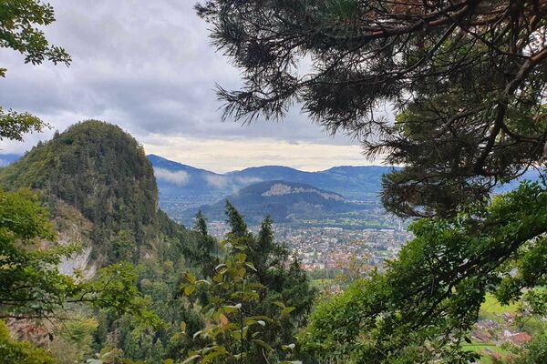
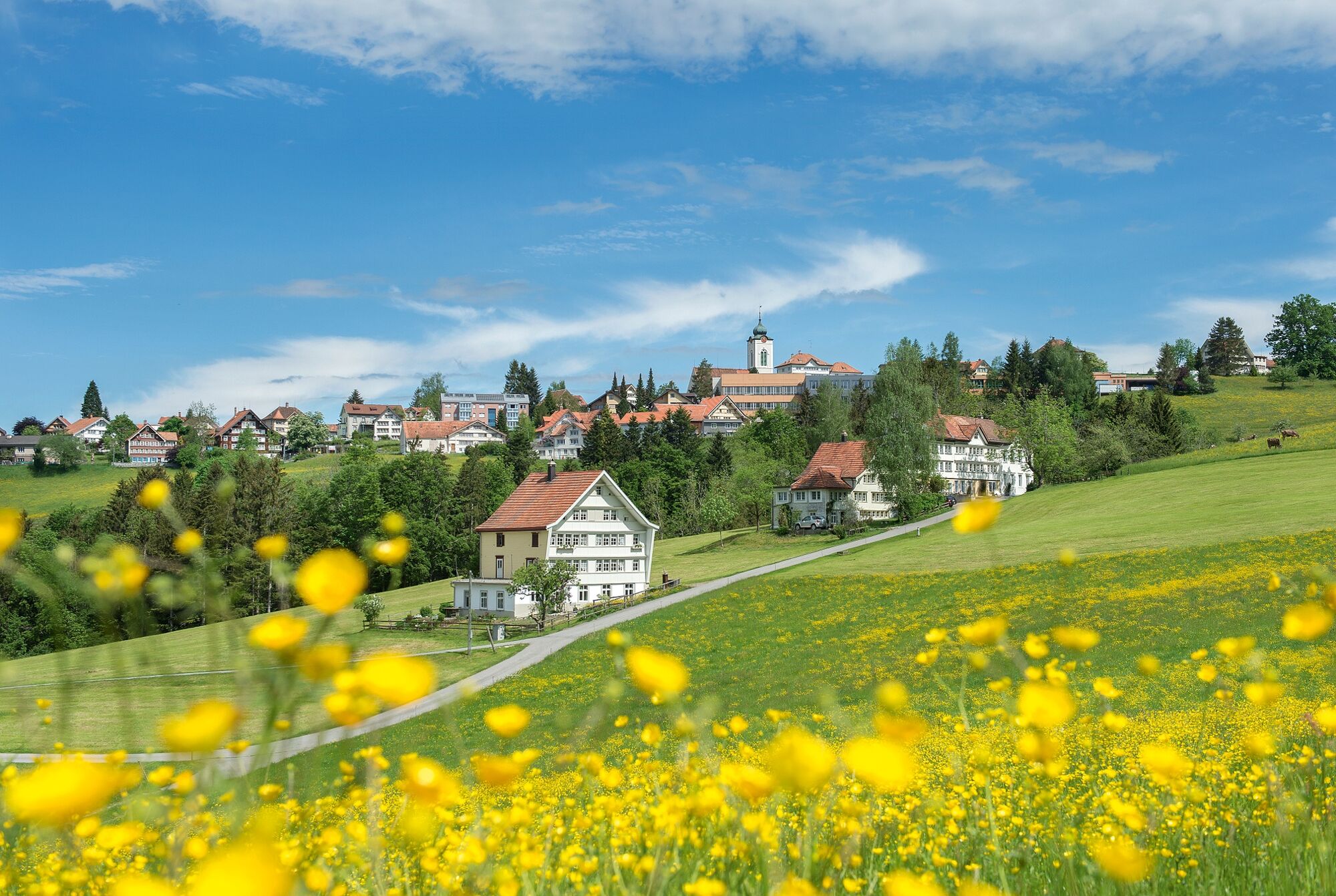
The route unites two villages with a textile past.
- Difficulty
-
medium
- Rating
-
- Starting point
-
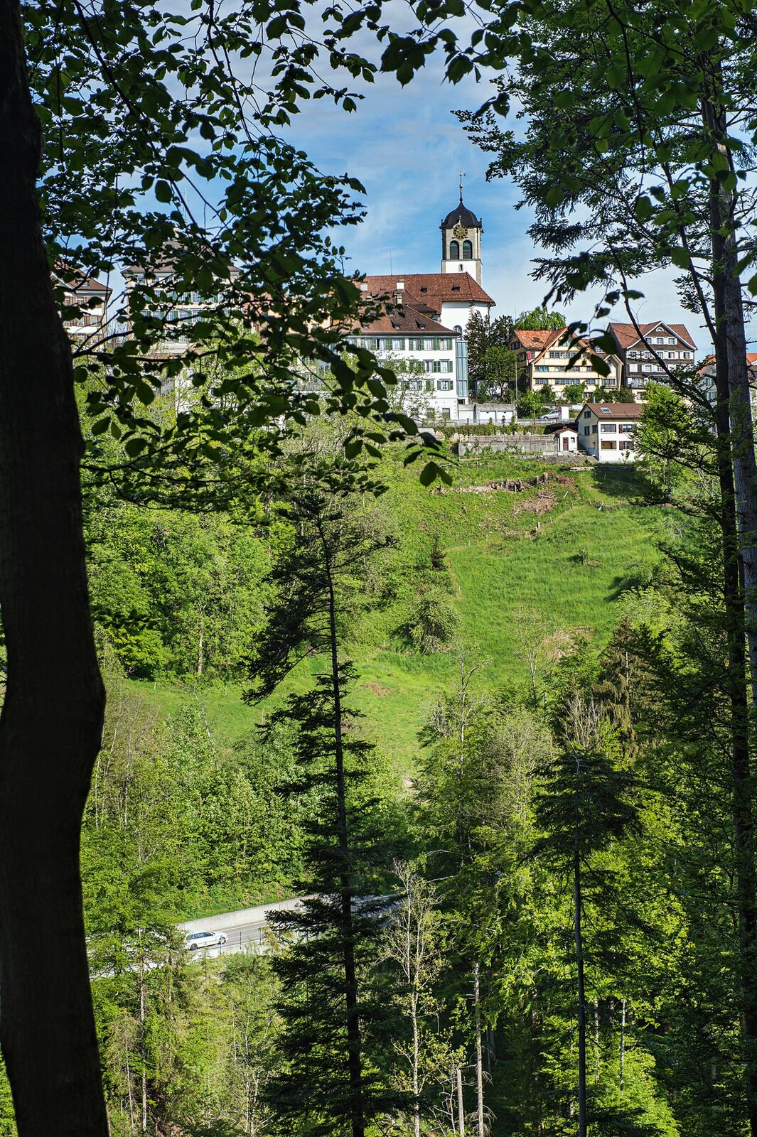
Trogen, church
- Route
-
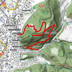
Gasthaus zum SchäfliTrogen (903 m)0.0 kmKrone0.1 kmNeuschwendi (926 m)1.1 kmBach (813 m)2.4 kmWald AR (962 m)4.8 kmSchäfli4.9 kmReformierte Kirche Wald5.2 kmRechberg6.1 kmGasthaus zum Schäfli8.8 kmTrogen (903 m)8.8 km
- Best season
-
JanFebMarAprMayJunJulAugSepOctNovDec
- Description
-
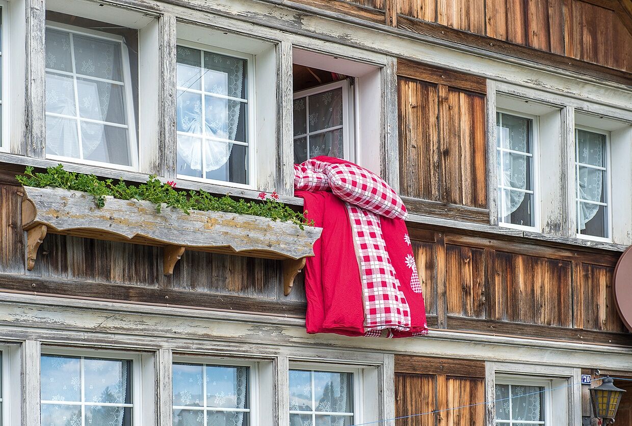
À Trogen, presque tout tournait autrefois autour du commerce du lin et du coton de Zellweger, tandis qu'à Wald, la broderie à la main apportait un revenu bienvenu aux familles paysannes. La randonnée entre les deux villages passe par de belles collines et des gorges profondes, devant de magnifiques demeures patriciennes et de simples maisons de brodeurs.
- Directions
-
Trogen church - Neuschwendi - Bruggmüli - Girtanne - Wald village - Blatten - Chastenloch - Trogen church
- Highest point
- 964 m
- Endpoint
-
Église de Trogen
- Height profile
-
 © outdooractive.com
 - Equipment
-
Good footwear, hiking or trekking shoes
- Tips
-
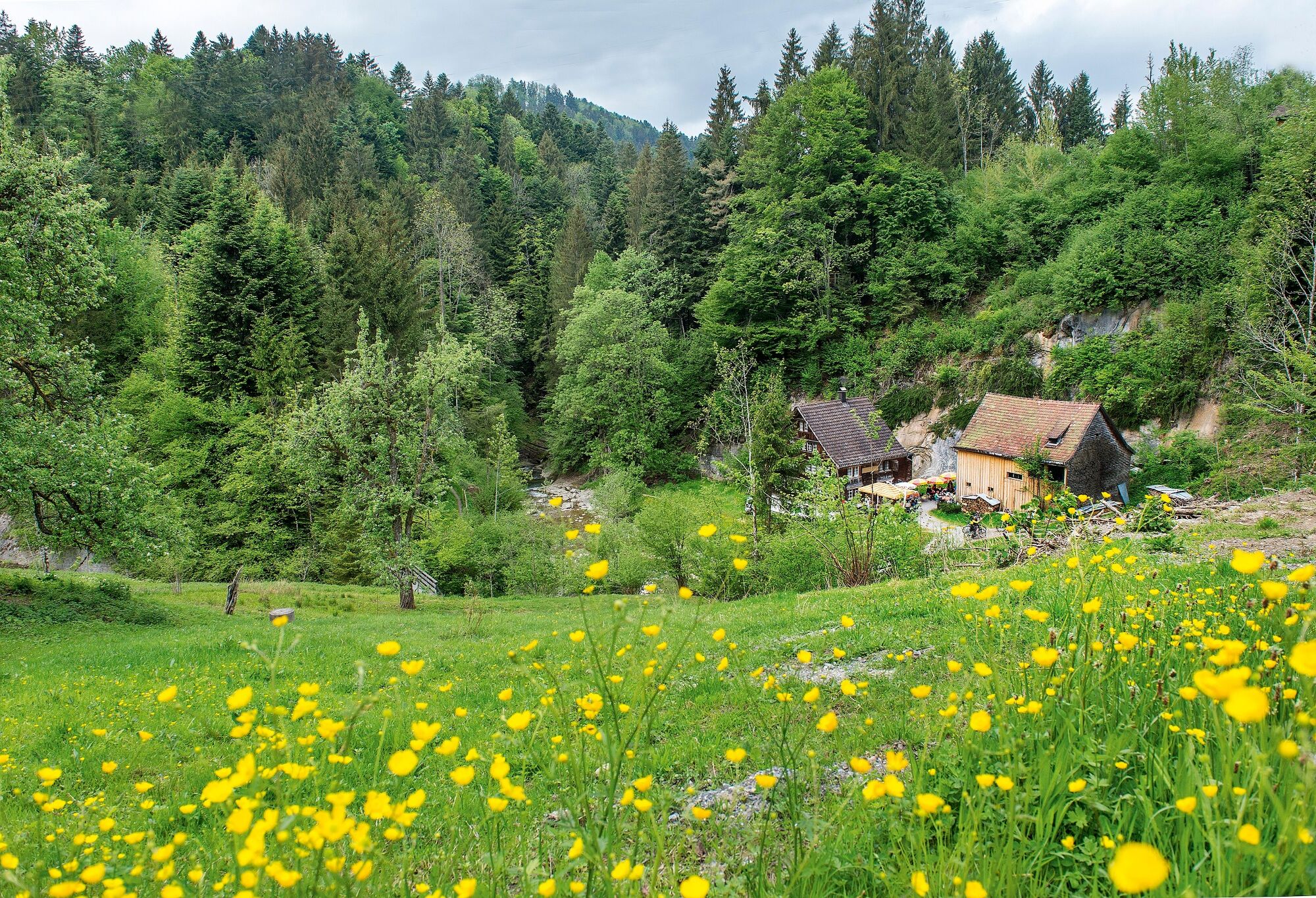
Visit to the Rechberg Inn
- Additional information
- Public transportation
-
Take the Appenzeller trains to Trogen station, short walk to the church.
- Parking
-
Parking is available in Trogen village centre.
- Author
-
The tour Across the hills down into the «hole» is used by outdooractive.com provided.
GPS Downloads


General info
Refreshment stop
Cultural/Historical
A lot of view
Other tours in the regions
-
St. Gallen - Bodensee
2070
-
St. Gallen und Umgebung
727
-
Wald AR
232