


- Brief description
-
Learn interesting facts about St.Gallen's industry and natural environment.
- Difficulty
-
easy
- Rating
-
- Starting point
-
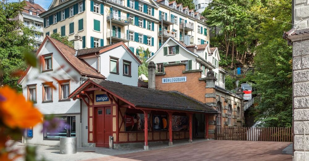
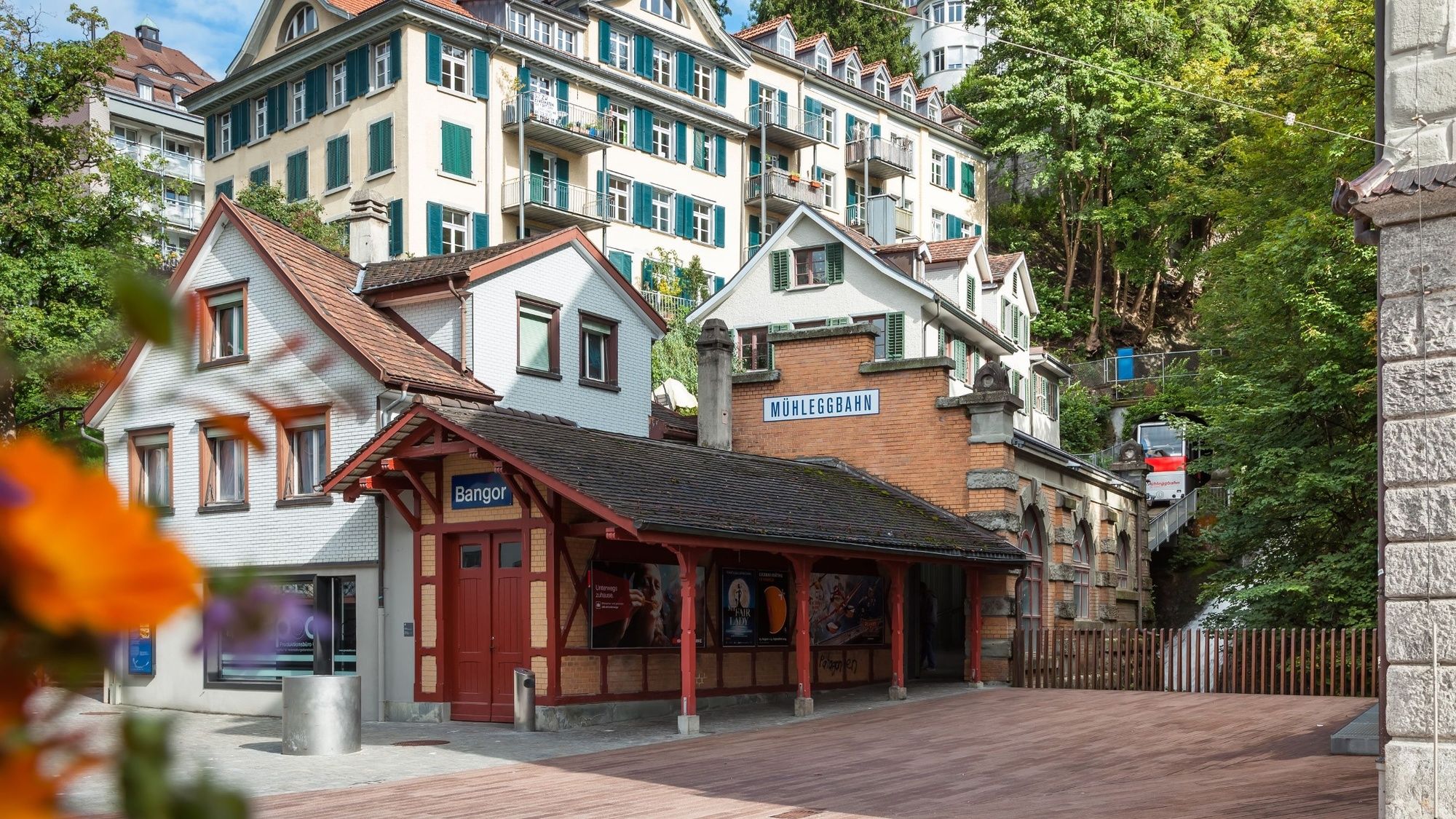
St.Gallen, station: Schwarzer Bären
- Route
-
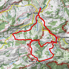
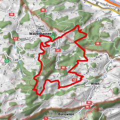
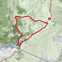
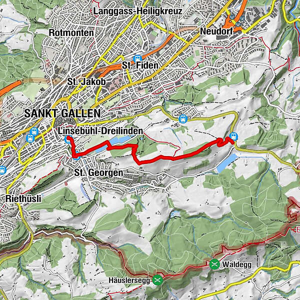
Linsebühl-Dreilinden3.0 kmMühlegg (749 m)3.6 kmMühlegg Talstation (677 m)4.1 kmSankt Gallen (675 m)4.1 km
- Best season
-
JanFebMarAprMayJunJulAugSepOctNovDec
- Description
-
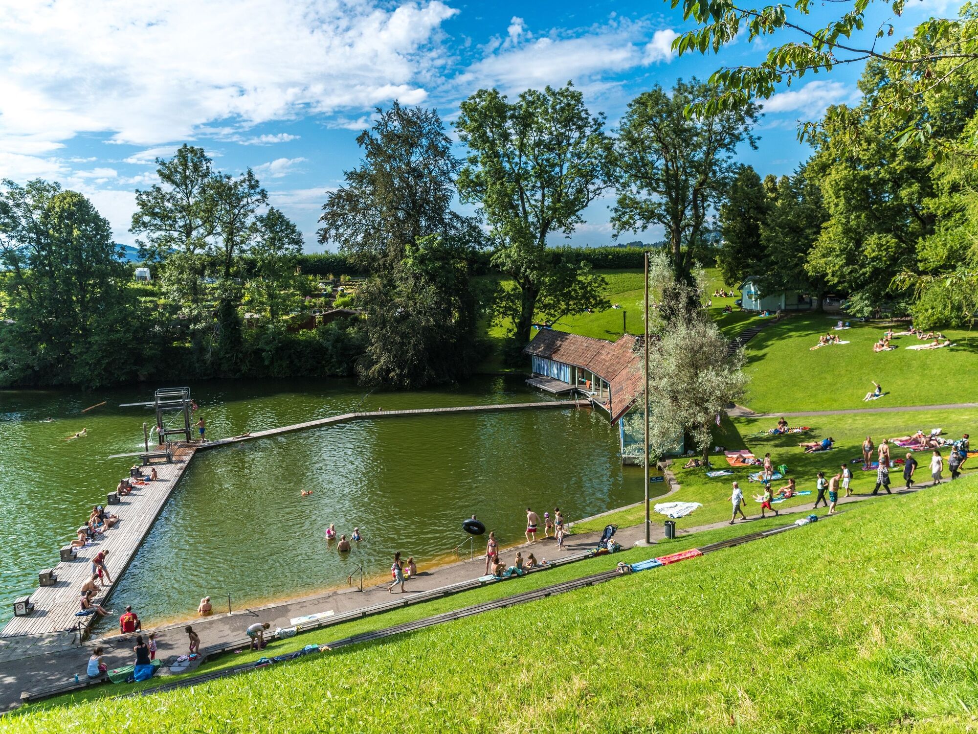
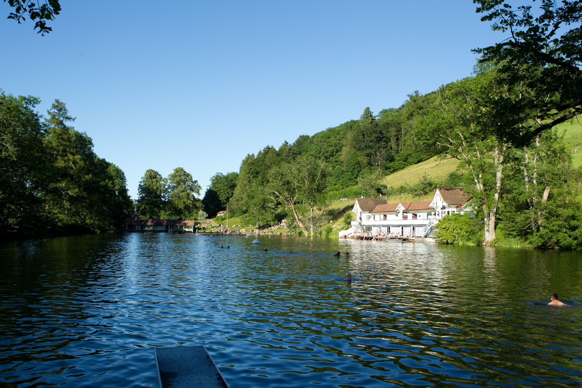
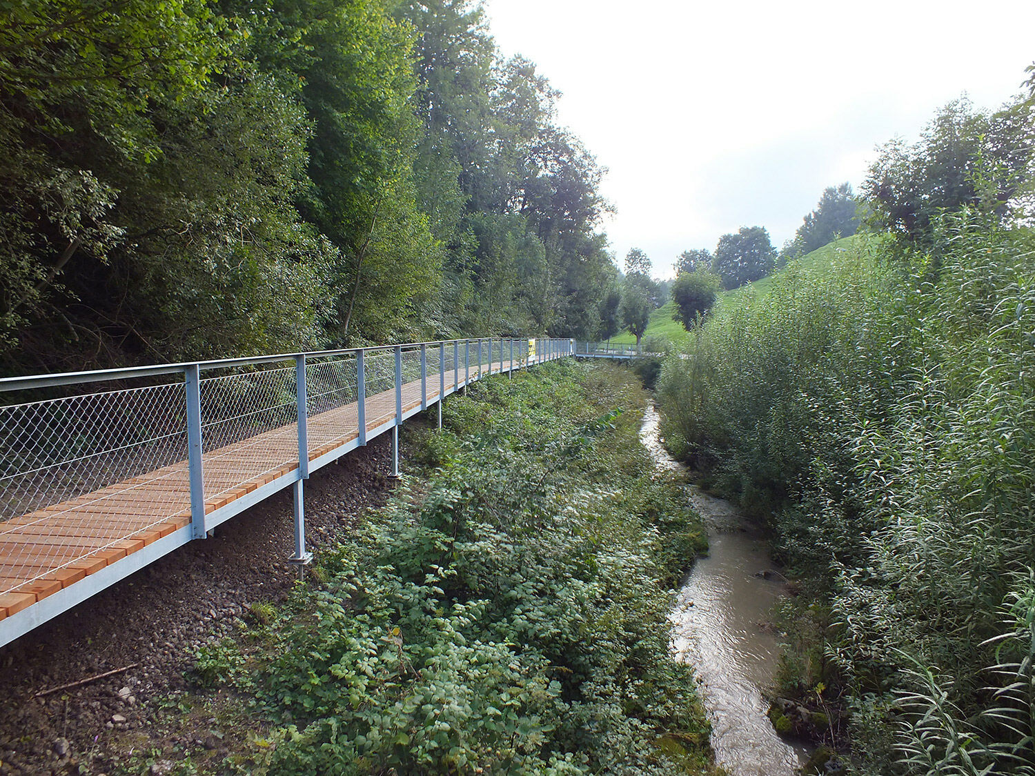
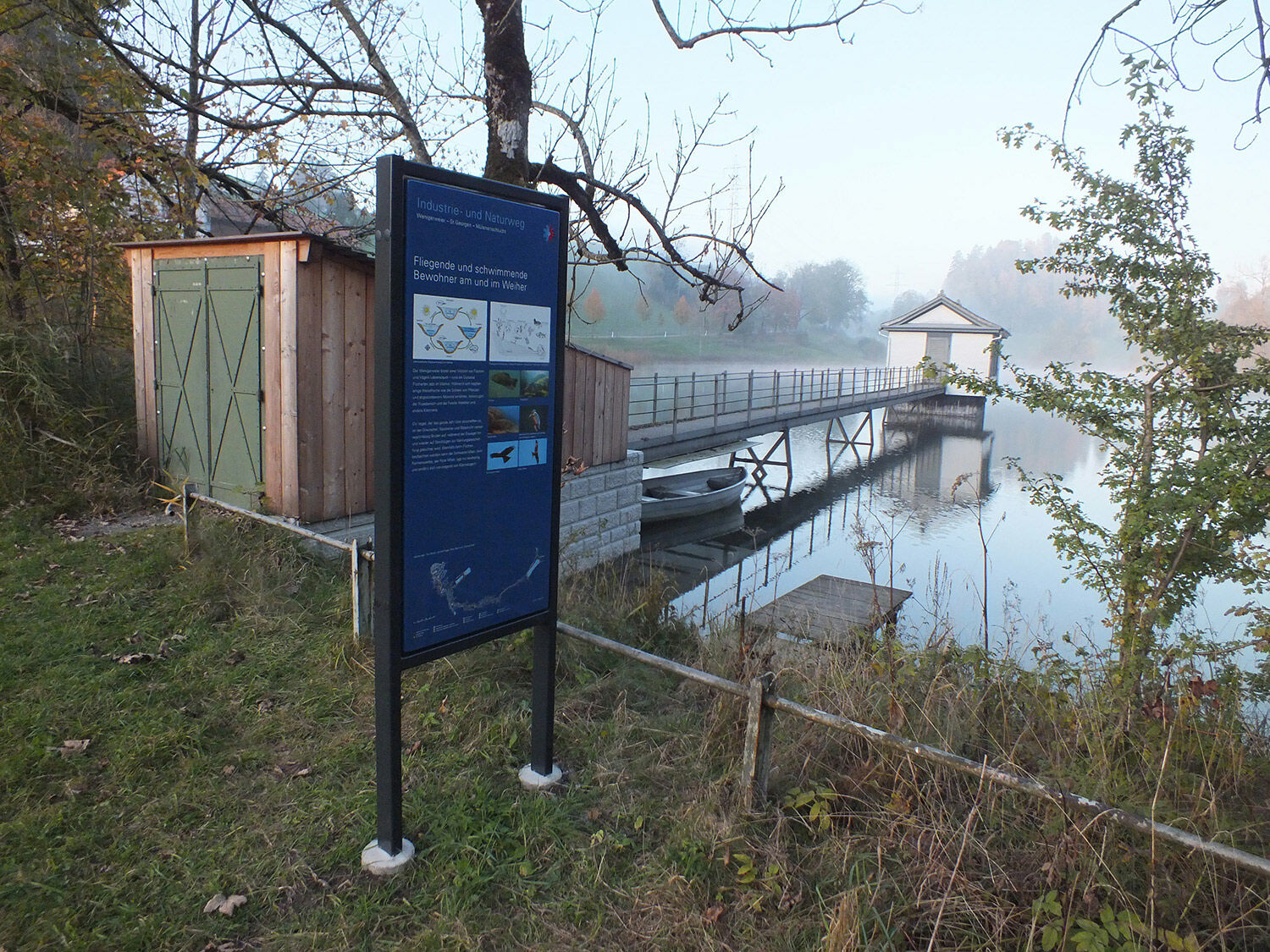
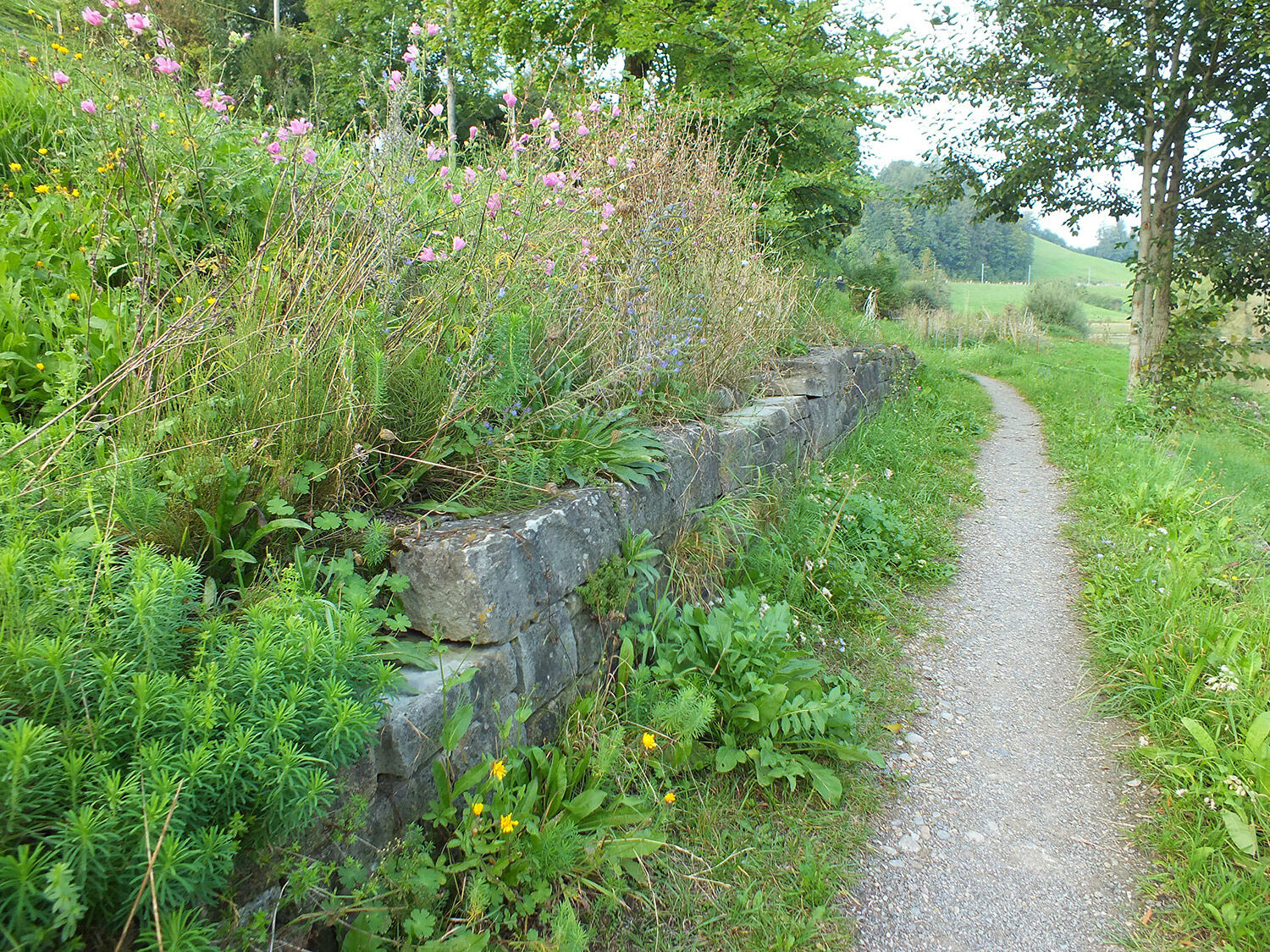
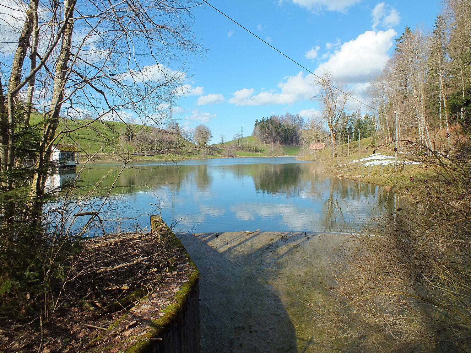
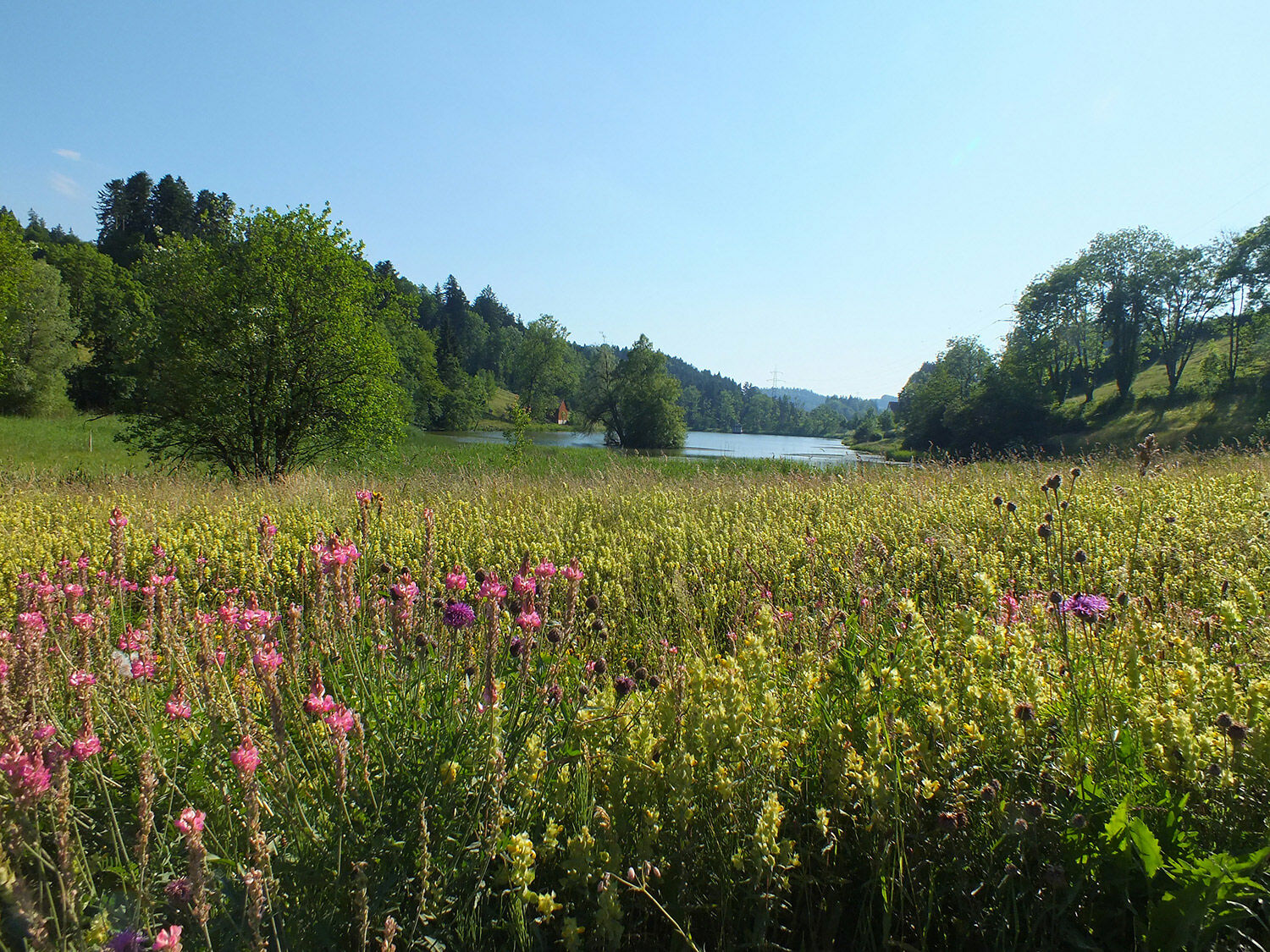
The Industrie- und Naturweg, or Industry and Nature Trail, takes you on a journey past the most beautiful natural sites in St.Gallen and through 35 million years of history. The informational boards along the trail feature interesting facts about St.Gallen’s long history, for example, St.Gallen’s location on the coast 20 million years ago, the battle in Loch in May 1403 or the Maestrani Family who began making chocolate in St.Gallen in 1859. From the Drei Weieren, or Three Ponds, which was originally a water reservoir and is today a great place to swim. They also include information about freshwater crabs and lowland moors, dragonflies and dry stone walls. Discover the idyllic ponds above St.Gallen and the unspoilt nature in the Mühlenen Gorge right in the middle of the city.
- Directions
-
St.Gallen Schwarzer Bären (Haltestelle Appenzeller Bahnen) - Wenigerweiher - St.Georgen - Drei Weieren - Mülenenschlucht - St.Gallen.
- Highest point
- 918 m
- Endpoint
-
Mülenenschlucht
- Height profile
-
 © outdooractive.com
 - Tips
-
Treat yourself to a tasty piece of cinnamon cake at the Milchhüsli cafe – between the Bueben and Manneweiher ponds.
- Directions
-
A1 from Zurich, exit at St.Gallen-Neudorf, direction of Heiden.
- Public transportation
-
Connection from St.Gallen train station to Schwarzer Bären (Appenzell mountain railway) 2 times an hour.

- Author
-
The tour Industry and Nature Trail is used by outdooractive.com provided.


General info
-
St. Gallen - Bodensee
2069
-
St. Gallen und Umgebung
728
-
St. Gallen
212