
- Brief description
-
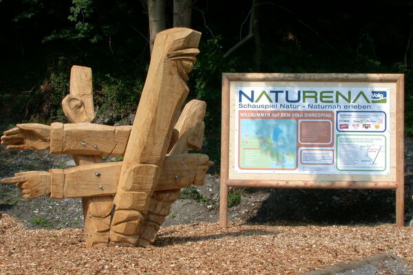
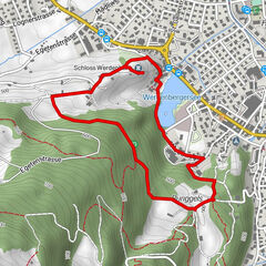
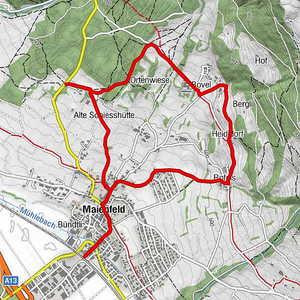
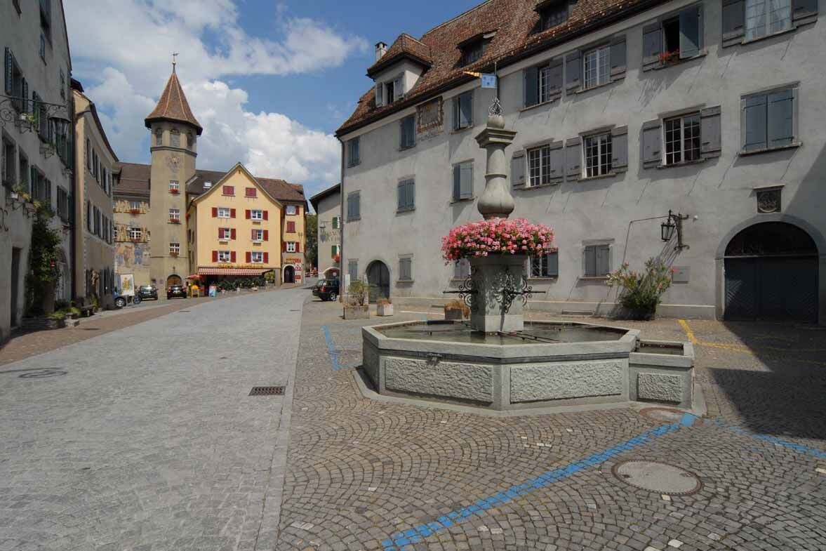
On the footsteps of little Heidi through Maienfeld in Heidiland.
- Difficulty
-
easy
- Rating
-
- Route
-
Alpenrose0.2 kmSchloss Maienfeld0.2 kmAmanduskirche0.4 kmMaienfeld (504 m)0.5 kmRofels1.8 kmHeididorf2.2 kmBovel3.0 kmAlte Schiesshütte5.0 kmAmanduskirche6.0 kmMaienfeld (504 m)6.0 kmSchloss Maienfeld6.1 kmAlpenrose6.3 km
- Best season
-
JanFebMarAprMayJunJulAugSepOctNovDec
- Highest point
- 680 m
- Endpoint
-
Maienfeld Bahnhof
- Height profile
-
 © outdooractive.com


- Author
-
The tour Heidi path is used by outdooractive.com provided.
GPS Downloads


General info
Refreshment stop
Other tours in the regions
-
Heidiland
2207
-
Bündner Herrschaft
1203
-
Maienfeld
233