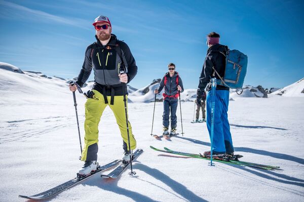
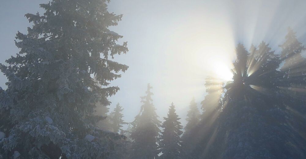
- Brief description
-
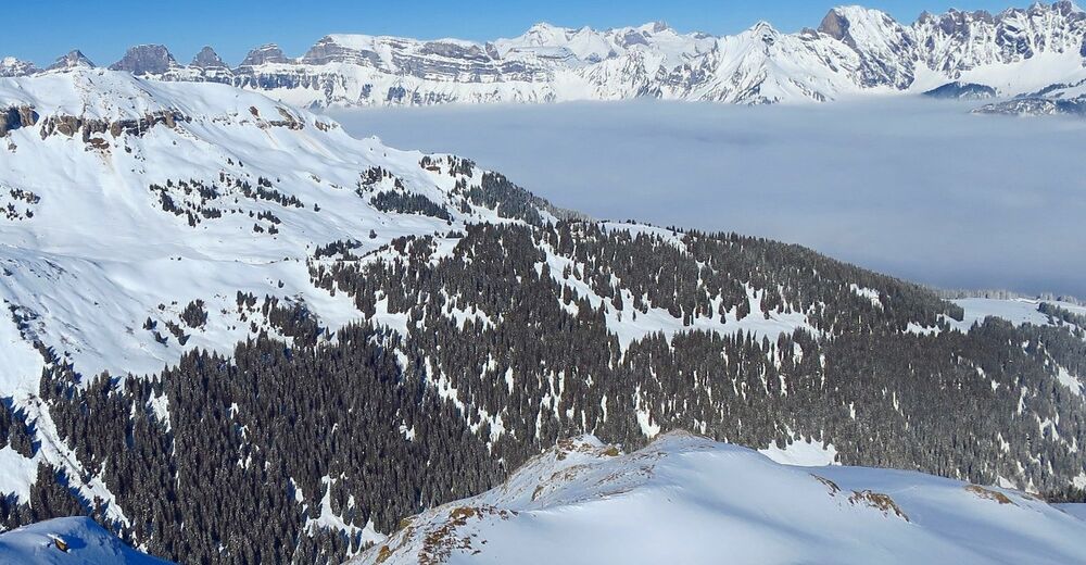
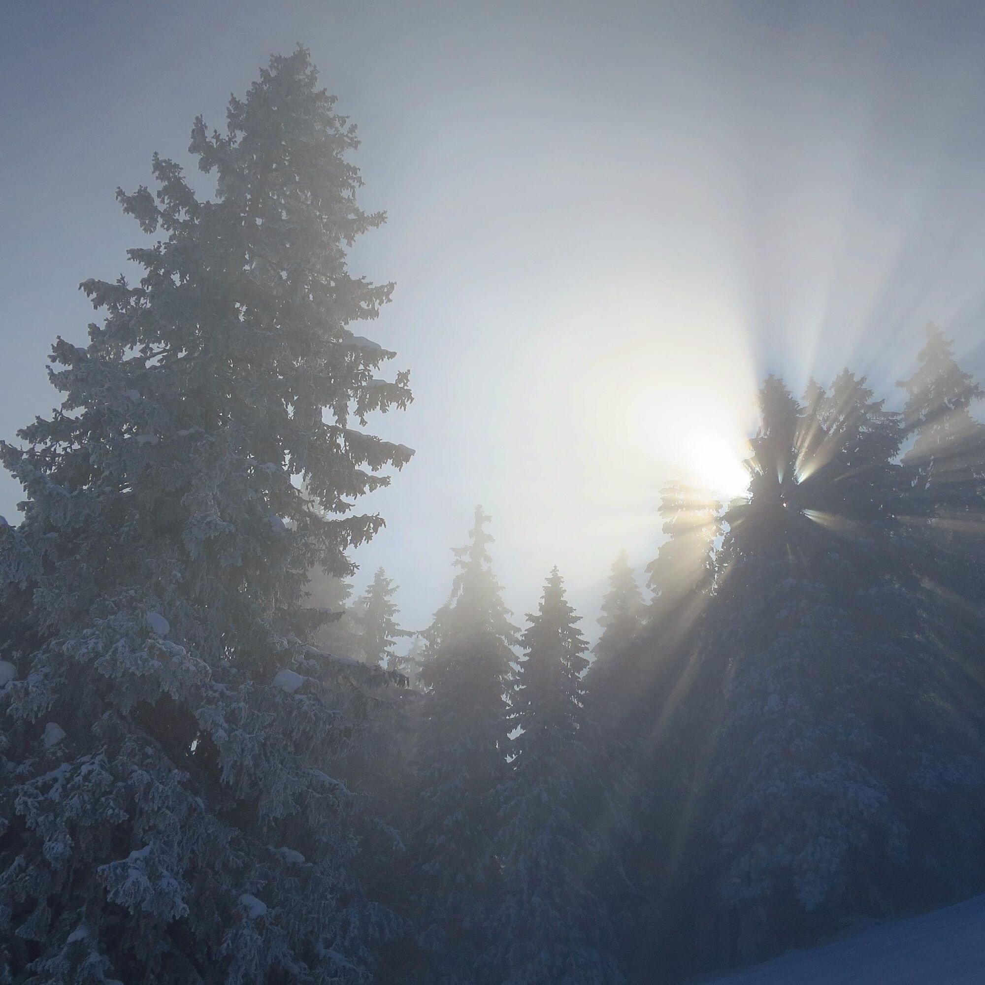
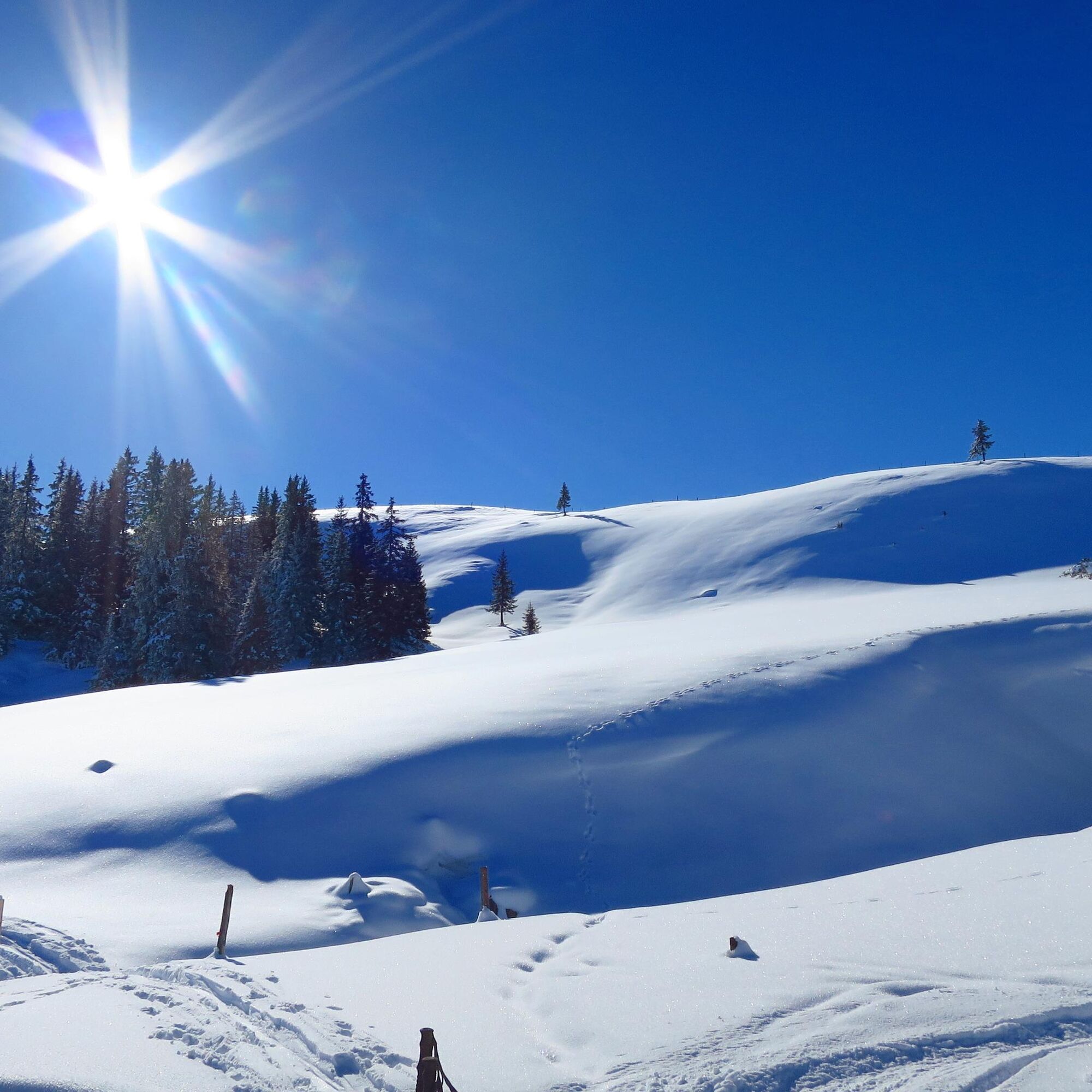
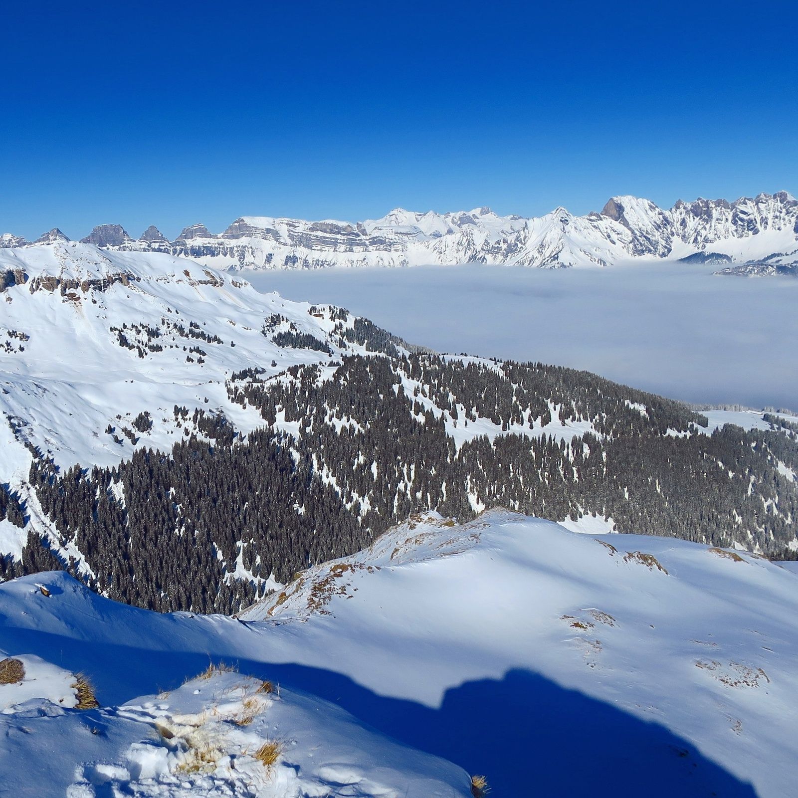
Technically quite easy and relatively safe tour with some beautiful views over the Rhein valley and the Churfirsten.
- Difficulty
-
medium
- Rating
-
- Starting point
-
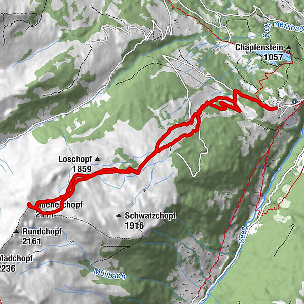
Vermol
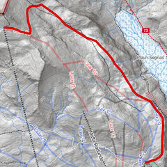
- Route
-
Lutzboden0.9 kmHüenerchopf (2,171 m)6.6 kmLutzboden11.5 kmVermol12.6 km
- Best season
-
AugSepOctNovDecJanFebMarAprMayJunJul
- Description
-
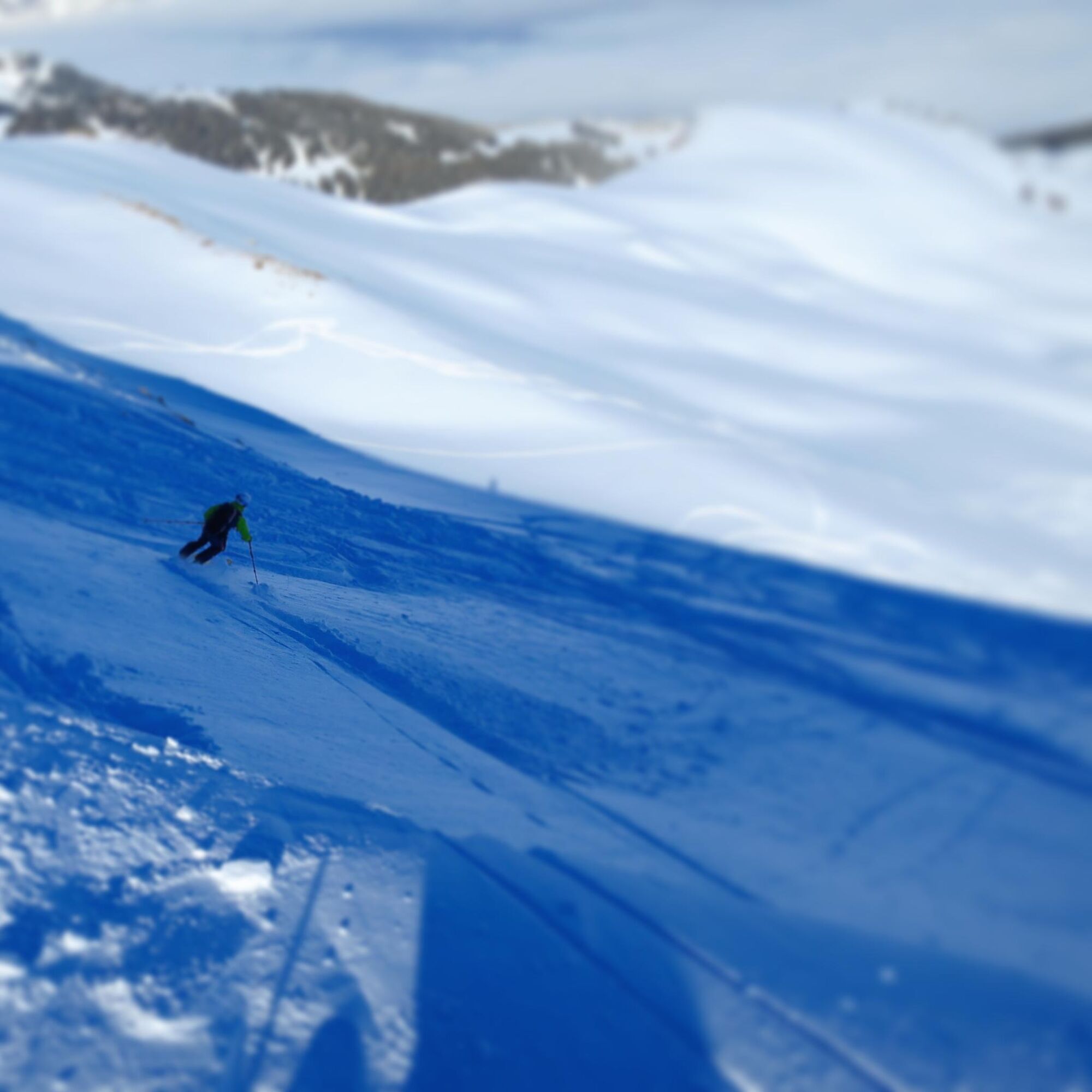
For the most part this tour avoids terrain that is over 30deg and is relatively safe from an Avalanche point of view. No special skills are equipment are required and the tour can be completed by anyone with moderate fitness and a basic ability to ski off-piste.
- Directions
-
The standard route from Vermol involves a relatively steep climb almost directly from the car park towards the Lutzbach. Our route starts off a little more gentle following the road up and around to the right (NW direction) towards Lutzhütte, but turning south before getting there and taling the way past Lutzoudä and then skirting alung the lower edge of the forest and making your way up to the hut at point 1392. From here we join the normal route in a roughly westerly direction again to the Alp hut at point 1737.
From point 1731 we take the route over Glätti and then continue west skirting around the steep slope near Broch and traversing to the saddle between point 2080 and Hünerchopf. In critical avalanche conditions it may be worth going south towards Broch and then joining the ridge to the east of point 2080 and following the ridge to the summit.
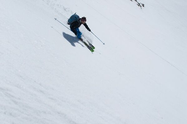
The descent follows the ascent route with some possibilities to go left and right to find your own tracks.
- Highest point
- 2,149 m
- Endpoint
-
Vermol
- Exposition
- Height profile
-
 © outdooractive.com
 - Equipment
-
Normal touring and avalanche safety equipment.
- Safety instructions
-
The vast majority of the tour is under 30deg. In avalanche critical conditions it may be neccesary to follow a flatter route to the summit and avoid the direct route from the summit to Chrummbäche.
- Tips
-
A mellow tour that would be suitable for relatively fit beginner ski tourers.
- Additional information
- Directions
-
Take the A3/13 to Sargans. Exit Sargans and follow signposts for Mels. At the point where the main street in Mels turns 90deg to the right (if coming from Sargans) keep going straight into a small street that then crosses a bridge and starts going up hill. Drive up (the road is quite narrow in places) following signs to Vermol.
- Public transportation
-
No public transport available in winter.
- Parking
-
There is limited parking available in Vermol. You will need to get there early if you want to do this tour on a busy weekend.
-

-
AuthorThe tour Hünerchopf is used by outdooractive.com provided.


-
Heidiland
81
-
Heidiland / Graubünden
42
-
Schwendi
4