
- Brief description
-
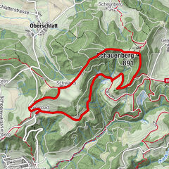
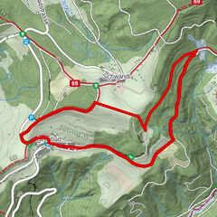
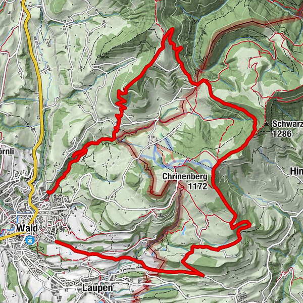
Eine anspruchsvolle Rundwanderung mit dem Zwischenziel Schwarzenberg.
- Difficulty
-
difficult
- Rating
-
- Route
-
Schmittenbach-Wasserfall II0.4 kmSchmittenbach-Wasserfall I0.9 kmScheidegg (1,197 m)5.0 kmAlp Scheidegg5.0 kmWolfsgrueb (972 m)6.8 kmMarchstein7.2 kmFarneralp9.2 kmBergrestaurant Farneralp9.2 kmChrinenberg (1,172 m)9.5 kmGibel12.4 kmFrohberg13.5 kmBebikon14.4 kmWald (615 m)15.7 km
- Best season
-
AugSepOctNovDecJanFebMarAprMayJunJul
- Highest point
- 1,192 m
- Endpoint
-
Wald, Dorf
- Height profile
-
 © outdooractive.com


-

-
AuthorThe tour Wald – Schwarzenberg – Wald: «Rundtour» is used by outdooractive.com provided.
GPS Downloads


General info
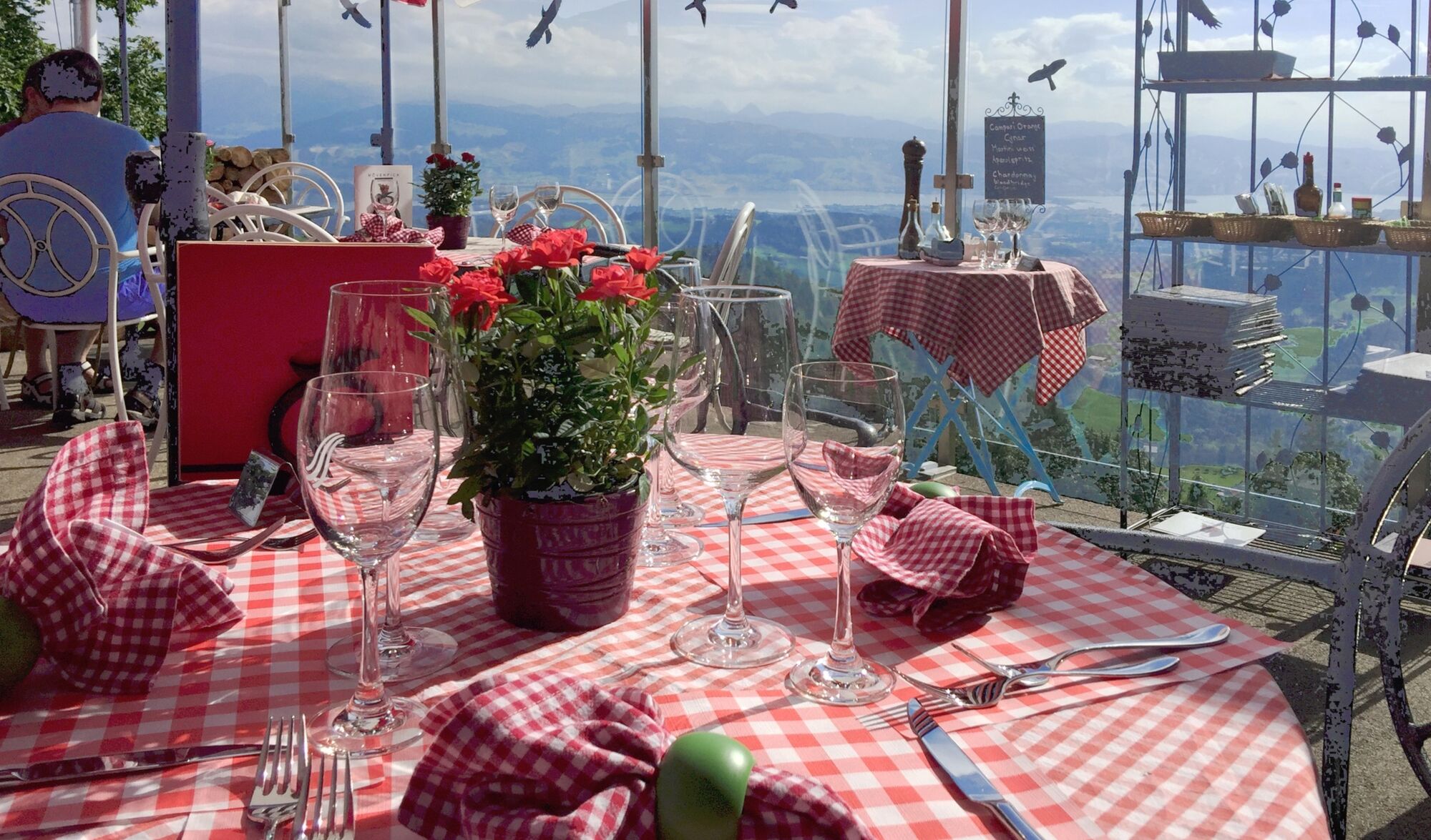
Refreshment stop
A lot of view
Other tours in the regions
-
Toggenburg
83
-
Goldingen - Atzmännig
53
-
Wald ZH
7