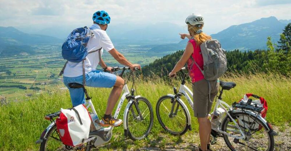
© Appenzellerland Tourismus AR - Jana Bacher
© Appenzellerland Tourismus AR - Jana Bacher
© Appenzellerland Tourismus AR - Jana Bacher
- Brief description
-
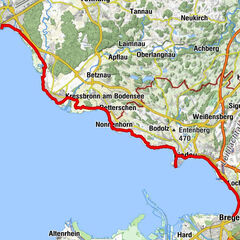
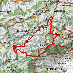
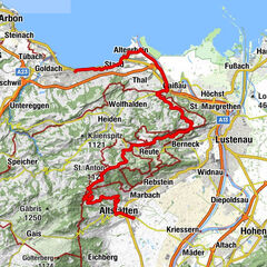
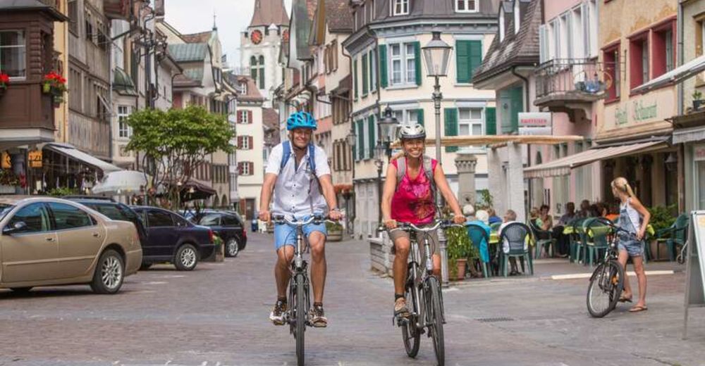
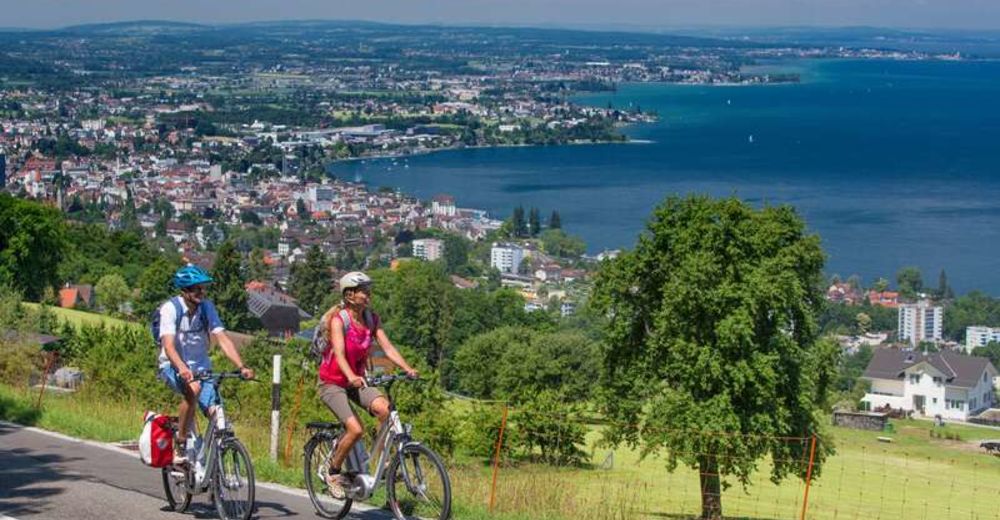
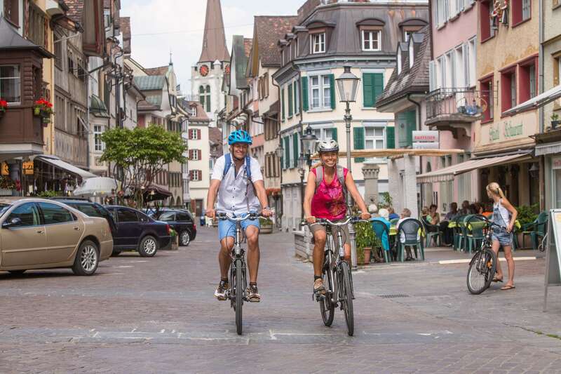
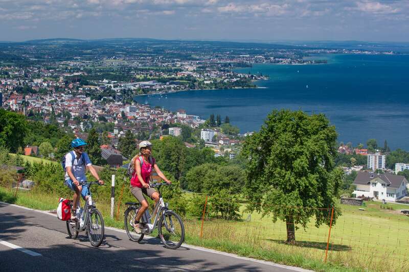
From the Rhine Valley to Lake Constance
- Difficulty
-
medium
- Rating
-
- Route
-
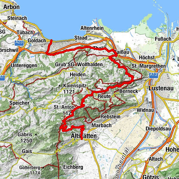
Altstätten Stadt (469 m)Altstätten0.2 kmHaus ZIEL2.7 kmRuppen (938 m)7.1 kmGasthaus Landmark8.1 kmLandmark8.1 kmzum Wilden Mann10.1 kmSt. Anton (1,123 m)10.7 kmSt. Anton10.9 kmKapelle St. Anton10.9 kmSt.Anton11.3 kmOberegg (870 m)14.0 kmSchachen (815 m)15.0 kmBüriswilen19.5 kmSternen19.8 kmWilen20.7 kmEvangelische Kirche22.9 kmRestaurant Gambrinus23.0 kmCafé Restaurant Bahnhof23.0 kmWalzenhausen23.1 kmBurg26.9 kmEvangelische Pfarrkirche St. Jakob27.1 kmRheineck (400 m)27.8 kmThal (415 m)29.8 kmBuechstig31.0 kmVogelherd32.8 kmHof33.6 kmHohriet34.1 kmRorschacherberg (570 m)35.0 kmRosenegg36.7 kmRorschach Stadt (410 m)37.5 kmRorschach37.9 km
- Best season
-
JanFebMarAprMayJunJulAugSepOctNovDec
- Highest point
- 1,108 m
- Endpoint
-
Rorschach
- Height profile
-
 © outdooractive.com
 - Additional information
- Parking
-
Parking is available at Altstätten station.

- Author
-
The tour Herzroute - From the rhein valley to lanke constance is used by outdooractive.com provided.
GPS Downloads


General info
Refreshment stop
A lot of view
Other tours in the regions
-
St. Gallen - Bodensee
288
-
St. Galler Rheintal
101
-
Oberegg
52