© Heidiland Tourismus - Thomas Kessler
© Heidiland Tourismus - Thomas Kessler

- Brief description
-
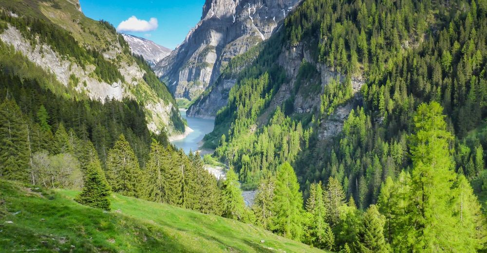
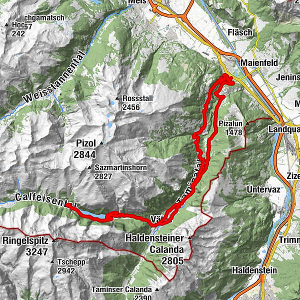
The ambitious tour climbs past the Mapragg and Gigerwald reservoirs to the Walser village of St. Martin. The way back to Bad Ragaz is via tarred and gravel roads and hiking trails.
- Difficulty
-
medium
- Rating
-
- Route
-
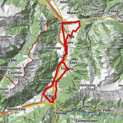
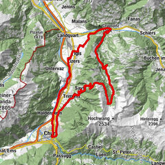
Bad Ragaz (516 m)0.7 kmKlosterhof6.1 kmValens6.1 kmKatholische Kirche St. Philipp und Jakob6.3 kmVasön9.2 kmGaspus14.4 kmHotel Restaurant Tamina15.9 kmVättis (943 m)15.9 kmGigerwald19.5 kmSankt Martin24.8 kmSt. Martin im Calfeisental24.8 kmGigerwald29.9 kmVättis (943 m)33.3 kmMapragg39.6 kmVadura40.7 kmBläs40.9 kmRagol42.3 kmPfäfers (820 m)44.6 kmBad Ragaz (516 m)47.9 km
- Best season
-
JanFebMarAprMayJunJulAugSepOctNovDec
- Highest point
- 1,347 m
- Endpoint
-
E-Bike Station Bad Ragaz
- Height profile
-
 © outdooractive.com
- Author
-
The tour E-Bike Gigerwald - St. Martin is used by outdooractive.com provided.
GPS Downloads


General info
Refreshment stop
Fauna
A lot of view