- Brief description
-
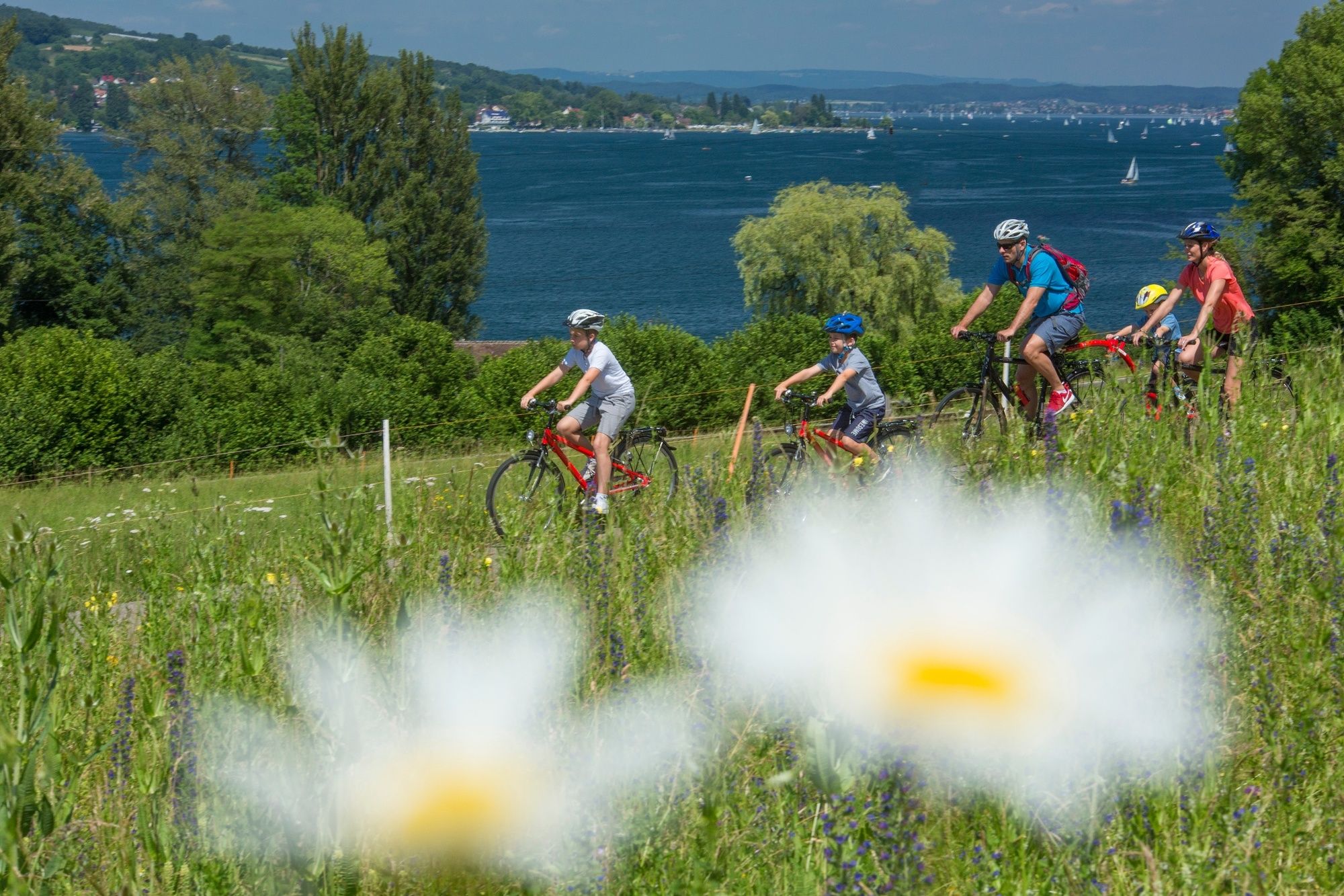
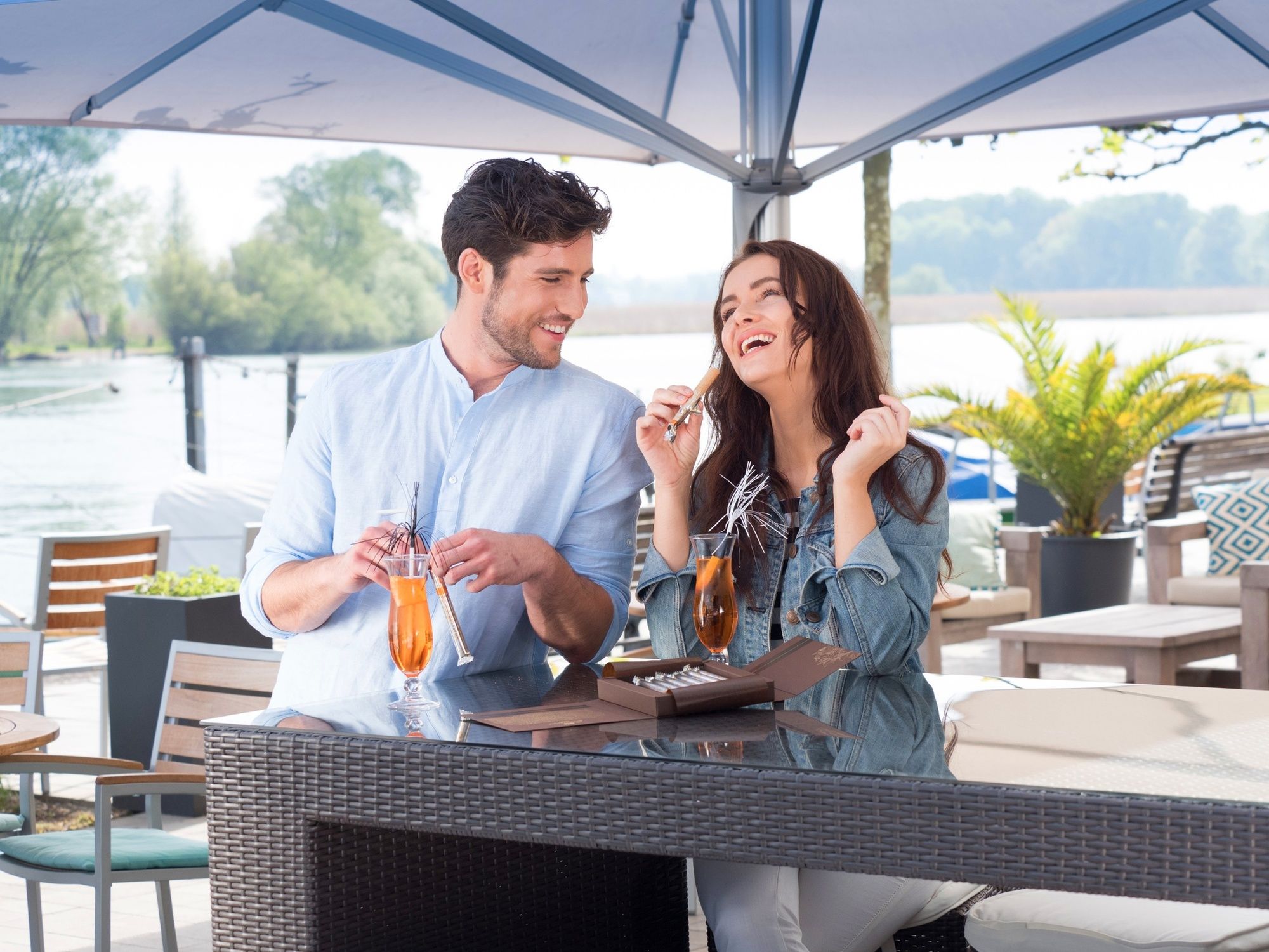
Auf der Mostindien-Tour fährt man mit Panoramablick dem Apfel hinterher - quer durch den Thurgau. Es gibt viel zu entdecken: Kulinarisches, Erlebnispfade oder Museen und Schlösser.
- Difficulty
-
medium
- Rating
-
- Starting point
-
Kreuzlingen, train station
- Route
-
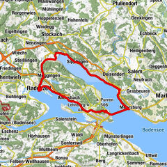
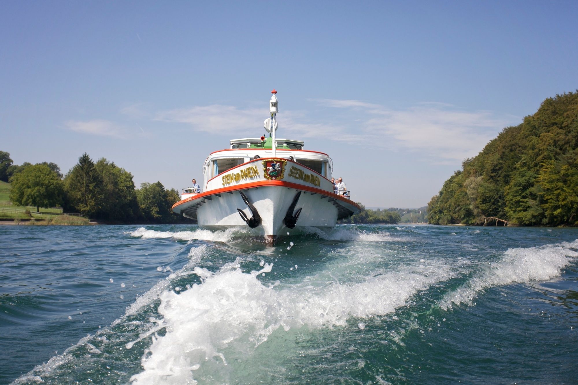
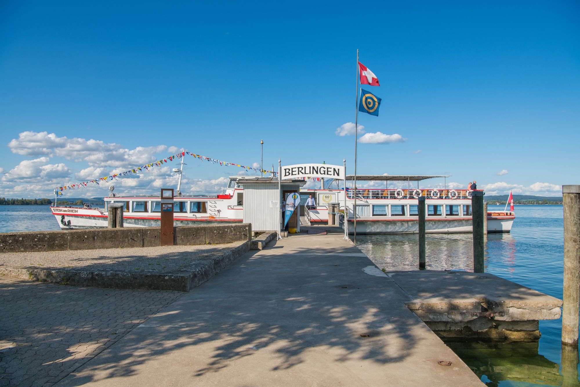
Kreuzlingen (397 m)Constance (405 m)0.5 kmTägermoos1.8 kmGottlieben (400 m)3.2 kmTägerwilen3.4 kmTriboltingen4.9 kmStad7.8 kmErmatingen8.4 kmLankenberg9.0 kmWesterfeld9.3 kmArenenberg9.8 kmSalenstein9.8 kmMannenbach-Salenstein10.3 kmChnebel10.5 kmPizzeria Lago Mio10.5 kmMannenbach-Salenstein (400 m)10.6 kmSeehotel Schiff10.7 kmUnterdorf10.8 kmOberdorf10.9 kmLoewen10.9 kmAlmänd11.0 kmLuisebärg11.1 kmSeestern12.2 kmHirschen13.3 kmBerlingen13.4 kmSchiff13.4 kmReformierte Kirche13.4 kmJochental14.7 kmSteckborn16.6 kmLido17.9 kmGlarisegg18.7 kmSpannacker19.6 kmRollirain20.1 kmSeewiesen20.3 kmFreienstein21.1 kmFriedberg21.6 kmKatholische Kirche St. Blasius22.3 kmMammern22.4 kmReformierte Kirche Mammern22.5 kmMammern (412 m)22.7 kmIm Fennenbach24.6 kmEschenz (417 m)25.7 kmBahnhof25.7 kmEschenz25.9 kmStein am Rhein (413 m)27.8 kmWagenhausen28.3 kmKaltenbach29.5 kmEtzwilen (438 m)31.3 kmSchweizerhof31.4 kmAdler35.9 kmUnterstammheim35.9 kmBesebeiz36.4 kmStammheim36.4 kmOberstammheim36.9 kmGasthof zum Hirschen37.2 kmSeerose40.1 kmUerschhausen40.3 kmKatholische St. Sebastianskapelle42.5 kmWirtschaft zum Hirschen42.5 kmBuch b. Frauenfeld42.6 kmBerlingerhof44.1 kmKartause Ittingen45.8 km
- Best season
-
JanFebMarAprMayJunJulAugSepOctNovDec
- Description
-
On the Mostindien Tour you can drive with perfect panoramic view along the Apple Path - across Thurgau. There is a lot to discover. The offer ranges from culinary pleasures to interesting experience paths, museums and castles.
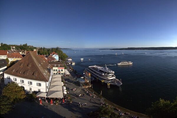
The tour starts at the train station of Kreuzlingen, where on demand rented bicycles can be organised. The border city at Bodensee has a lot to offer: In the Museum Rosenegg visitors learn a lot about Kreuzlingen and the region, those with a sweet tooth have their proper place at Chocolat Bernrain and the Planetarium takes its guests into the fascinating world of astronomy.
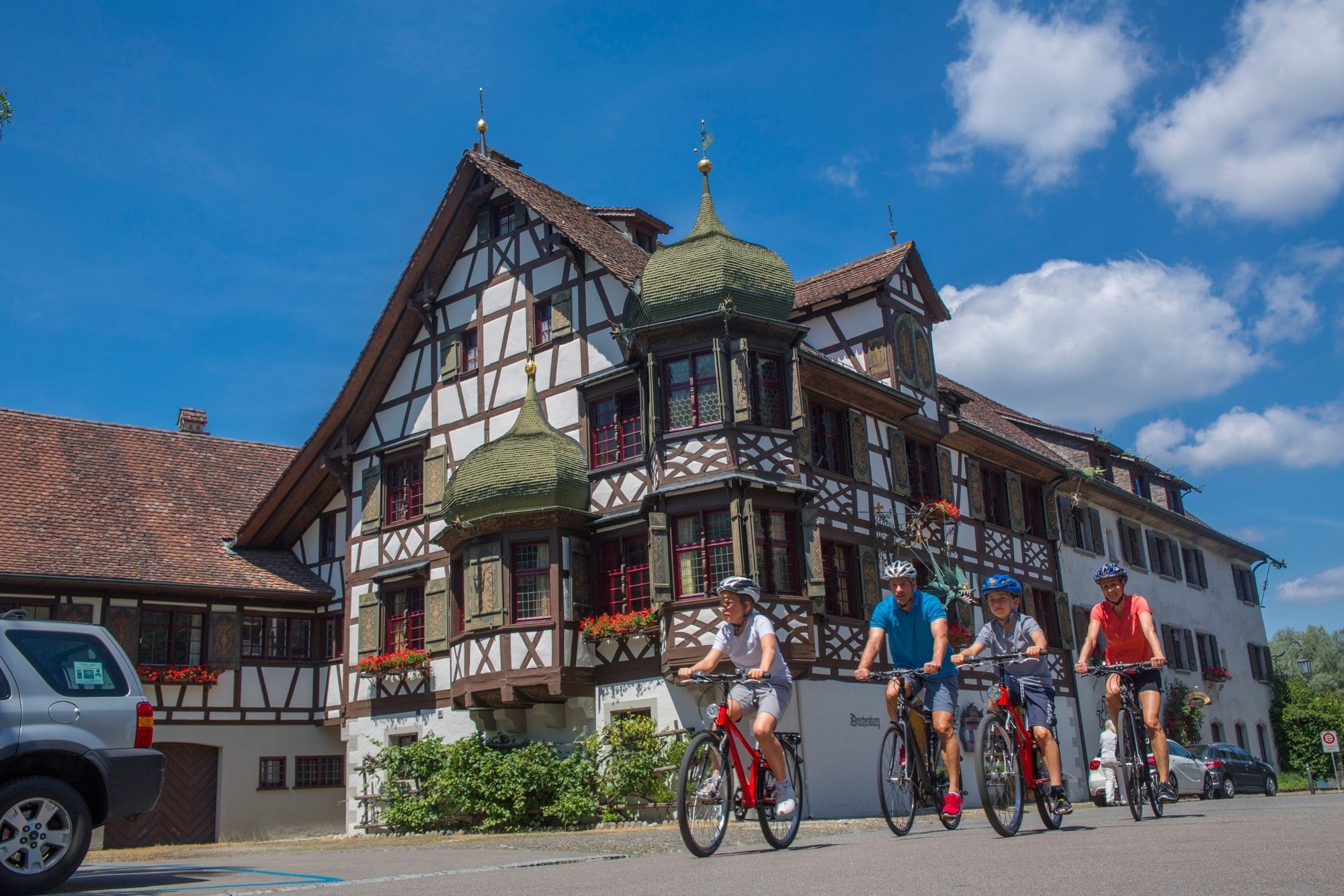
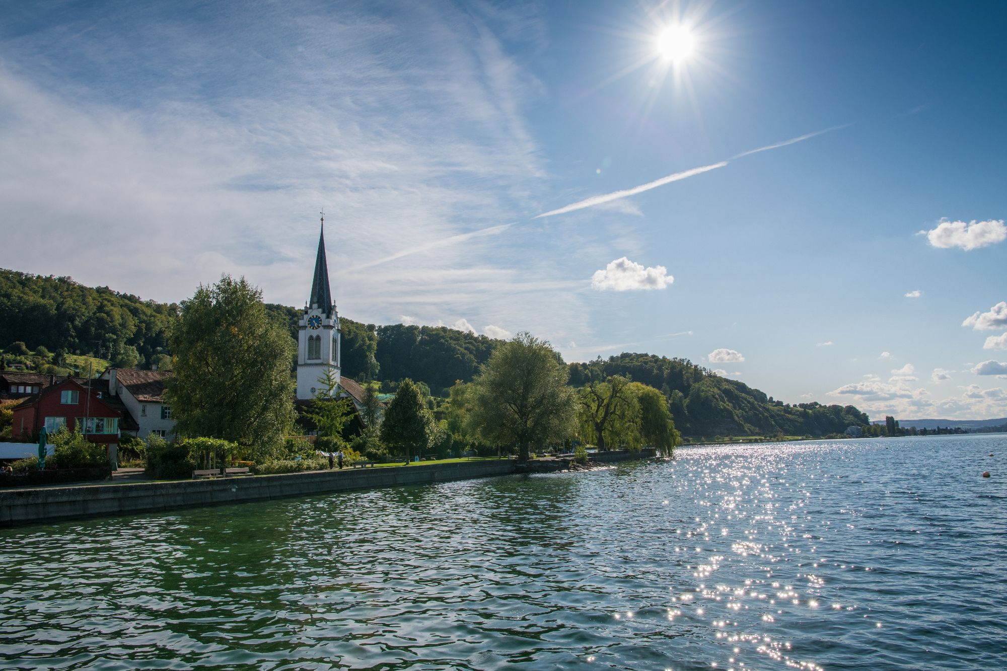
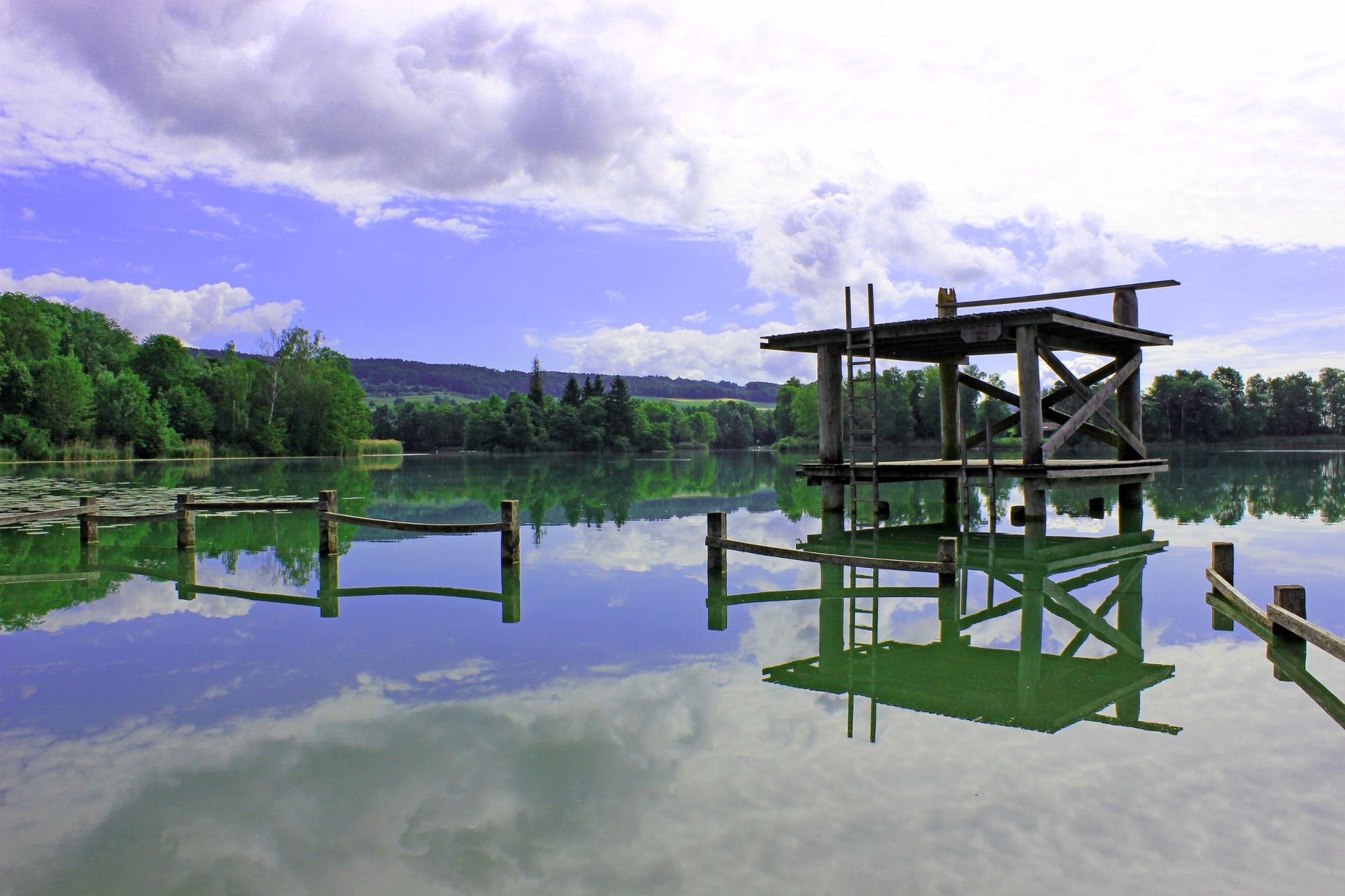
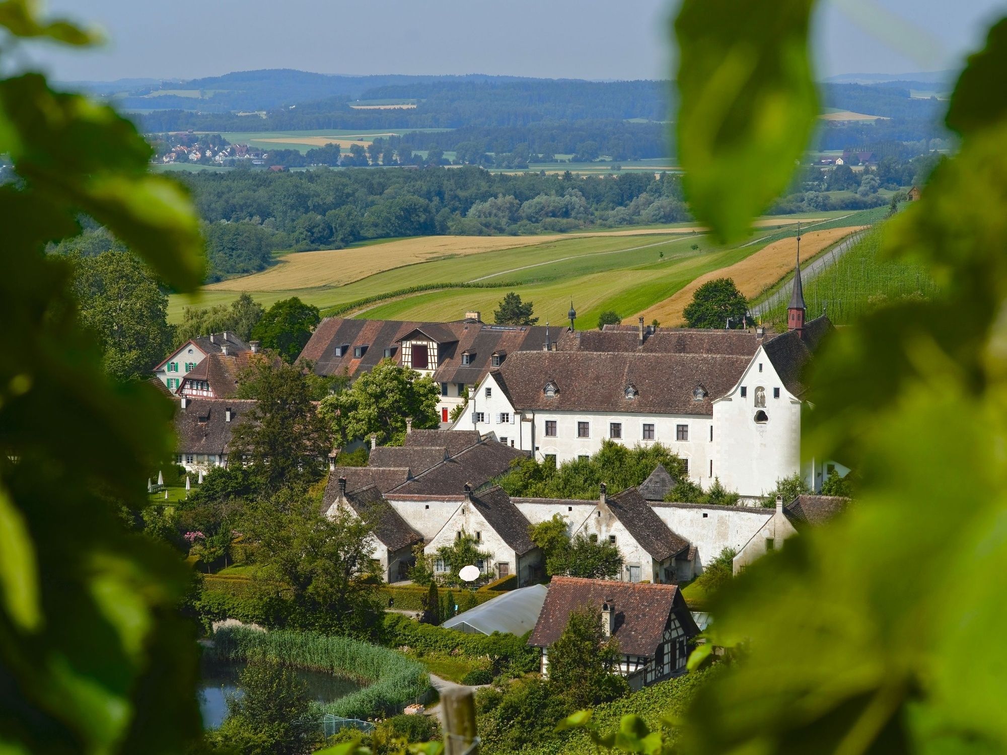
The tour leads then through the peaceful Untersee region. From the picturesque fishing villages Ermatingen, Steckborn and Mammern the way leads to Stein am Rhein. On the way a short trip to the wonderful Arenenberg where the Napoleon Museum and the Medieval Patrician Garden are located is really worthwhile. From Stein am Rhein the way goes through the open Seebach valley to the Ittingen Charterhouse. Additional to the Museum of Ittingen the visit of the Thurgau Museum of Art is also worthwhile.
See also
Thurgau Tourismus
Egelmoosstrasse 1
CH-8580 Amriswil
Tel: +41 (0)71 414 11 44
Fax: +41 (0)71 414 11 45
Internet: www.thurgau-bodensee.ch
E-Mail: info@thurgau-bodensee.ch - Directions
-
Kreuzlingen - Ermatingen - Mannenbach - Steckborn - Mammern - Stein am Rhein - Warth
- Highest point
- 497 m
- Endpoint
-
Warth, Kartause Ittingen
- Height profile
-
 © outdooractive.com


- Author
-
The tour Mostindien-Tour (Kreuzlingen - Kartause Ittingen) is used by outdooractive.com provided.
GPS Downloads


General info
Refreshment stop
Cultural/Historical
Other tours in the regions
-
SchaffhauserLand
220
-
Stein am Rhein
137
-
Steckborn
83