© Appenzellerland Tourismus AR - Corinne Kunz

© Appenzellerland Tourismus AR - René Niederer


- Brief description
-
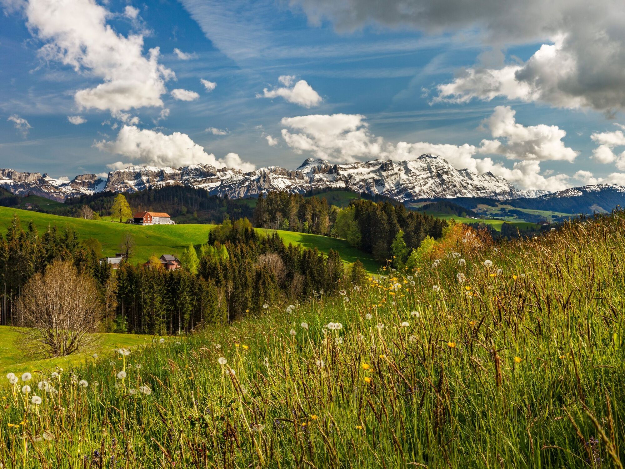
On the Appenzeller vistas route you’ll pass both well-known and unknown highlights.
- Route
-
Heiden (794 m)0.0 kmHeiden0.8 kmOberegg (870 m)4.4 kmSt.Anton7.2 kmSt. Anton7.3 kmKapelle St. Anton7.3 kmSt. Anton7.5 kmSt. Anton (1,123 m)7.7 kmzum Wilden Mann8.5 kmGasthaus Landmark10.2 kmLandmark10.2 kmNeuschwendi (926 m)13.9 kmGasthaus zum Schäfli15.7 kmTrogen (903 m)15.7 kmTrogen15.9 kmBendlehn (932 m)17.3 kmSpeicher (924 m)17.7 kmTeufen AR22.1 kmGemsli22.1 kmSankt Gallen (675 m)22.5 kmTeufen AR (837 m)22.8 kmZur Linde23.2 kmWallfahrtskirche Maria Hilf26.8 kmRestaurant Krone27.0 kmSchlatt-Haslen27.0 kmRestaurant Linde27.5 kmStöcken29.4 kmStein AR31.3 kmOchsen31.4 kmReformierte Kirche31.5 kmGasthaus Schäfli33.8 kmKapelle St. Wolfgang34.6 kmSt. Gallen Haggen (676 m)35.5 kmSt. Gallen Güterbahnhof37.6 kmSankt Gallen (675 m)38.7 km
- Best season
-
JanFebMarAprMayJunJulAugSepOctNovDec
- Description
-
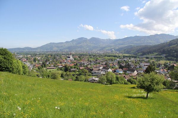
Discover the variety of Appenzell’s scenery by bike or electric bike! In Heiden, the view sweeps over Lake Constance. At the first vantage point, St. Anton, the St. Gallen Rhine Valley and the Alpstein all lie at your feet. The magnificent view compensates for the climb. This route then showcases all the facets of this lovely region between Lake Constance and Säntis, along hills and past various villages.
In addition to magnificent panoramas and unique natural beauty, there is also a lot to discover along the way. In Trogen, the Pestalozzi Children's Village gives you an insight into the lives of the more than 220,000 children and young people from all over the world who are supported annually by the Pestalozzi Children's Foundation. In Stein you can experience how the famous Appenzeller cheese is made. Speaking of cheese, various restaurants along the route will be happy to fortify you with regional specialities. At the end of the route, the ‘Ganggelibrugg’ forms the gateway to the city of St. Gallen.
- Highest point
- 1,108 m
- Endpoint
-
St. Gallen
- Height profile
-
 © outdooractive.com


- Author
-
The tour Appenzeller vistas route is used by outdooractive.com provided.
GPS Downloads


General info
Refreshment stop
A lot of view
Other tours in the regions
-
St. Gallen - Bodensee
288
-
Appenzell Ausserrhoden
106
-
Speicher
44