- Brief description
-
Von Deutschland zogen die Pilger via Konstanz-Amlikon-Fischingen nach Einsiedeln, schliesslich nach Rom oder nach Santiago de Compostela ans Grab des heiligen Jakobus.
- Difficulty
-
difficult
- Rating
-
- Starting point
-
Weinfelden, Bahnhof
- Route
-
WeinfeldenIm SonnenwinkelKatholische Kirche St. Joseph2.4 kmzur Blumenau2.5 kmBussnang2.6 kmMoswisholz3.6 kmGasthaus Ribi4.1 kmUnteroppikon4.3 kmHolzhäusern5.1 kmMaltbach6.7 kmKatholische Kirche7.1 kmKaltenbrunnen7.2 kmSchulhaus7.6 kmZezikon8.3 kmWinkelacker9.3 kmChrüzegg9.6 kmAffeltrangen9.6 kmFliegenegg10.6 kmTobel10.7 kmThürn13.2 kmKapelle St. Margarethen15.5 kmSt. Margarethen TG15.6 kmFrohsinn15.7 kmMünchwilen TG17.3 kmEvangelische Kirche Münchwilen17.4 kmSirnach19.4 kmBüfelden20.2 kmWiezikon b. Sirnach21.0 kmRestaurant Sonne21.2 kmAnwil22.1 kmOberwangen TG24.0 kmSt. Martin Martinskapelle24.0 kmGalgehügel25.7 kmFischingen26.0 kmKloster Fischingen26.2 km
- Best season
-
JanFebMarAprMayJunJulAugSepOctNovDec
- Description
-
The pilgrim trips started at the turn of the century. The pilgrims came from Germany through Constance-Amlikon-Fischingen to Einsiedeln and finally to Rome or Santiago de Compostela to the grave of St. James. Witnesses of these «Gottzfarten» are churches or chapels, sanctified to Saint James, former pilgrim guest houses or the shell symbol.
Endurance is needed for this stage with seven hours hiking time and the monastery of Fischingen as destination. The walking time can be halved by taking S10 (regional train Thurbo, direction Wil SG) for a 15 minute rail trip between Weinfelden and Bettwiesen.
On foot this tour suggestion starts in Weinfelden, where a wide range of accommodations and restaurants is offered and leads to Via Jacobi at the hamlet of Holzhäusern. The pilgrim's path leads from Affeltrangen alongside Tobel, where the former St. John's commandery is located, to the chapel of St. Margaretha, which was built back in 1641 by order of the Abbot of Fischingen.
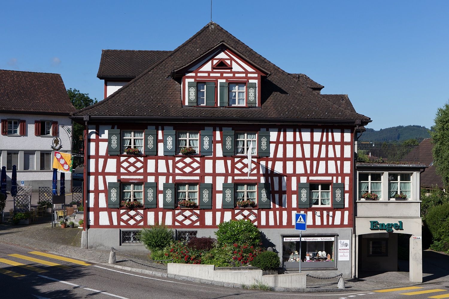
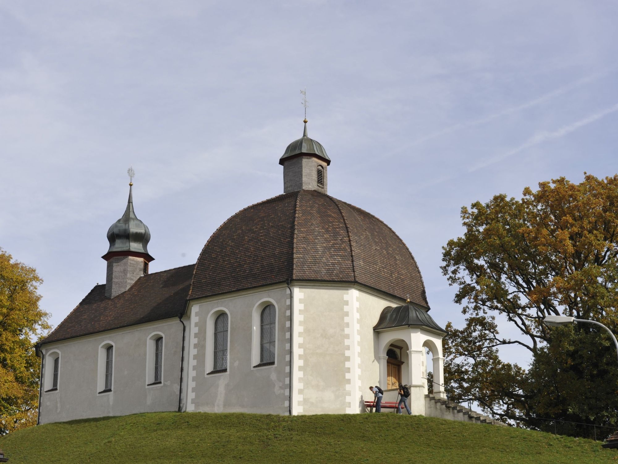
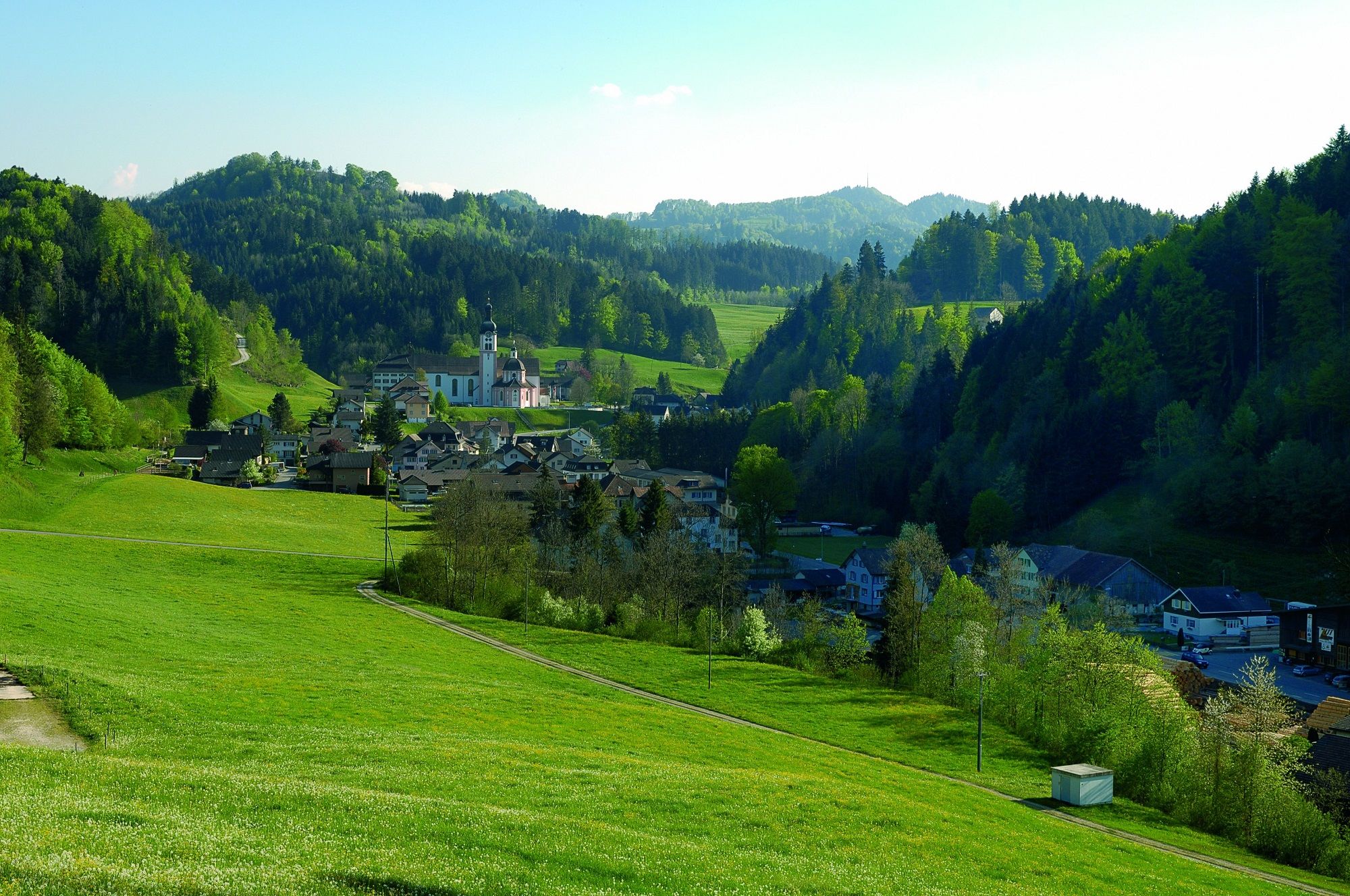
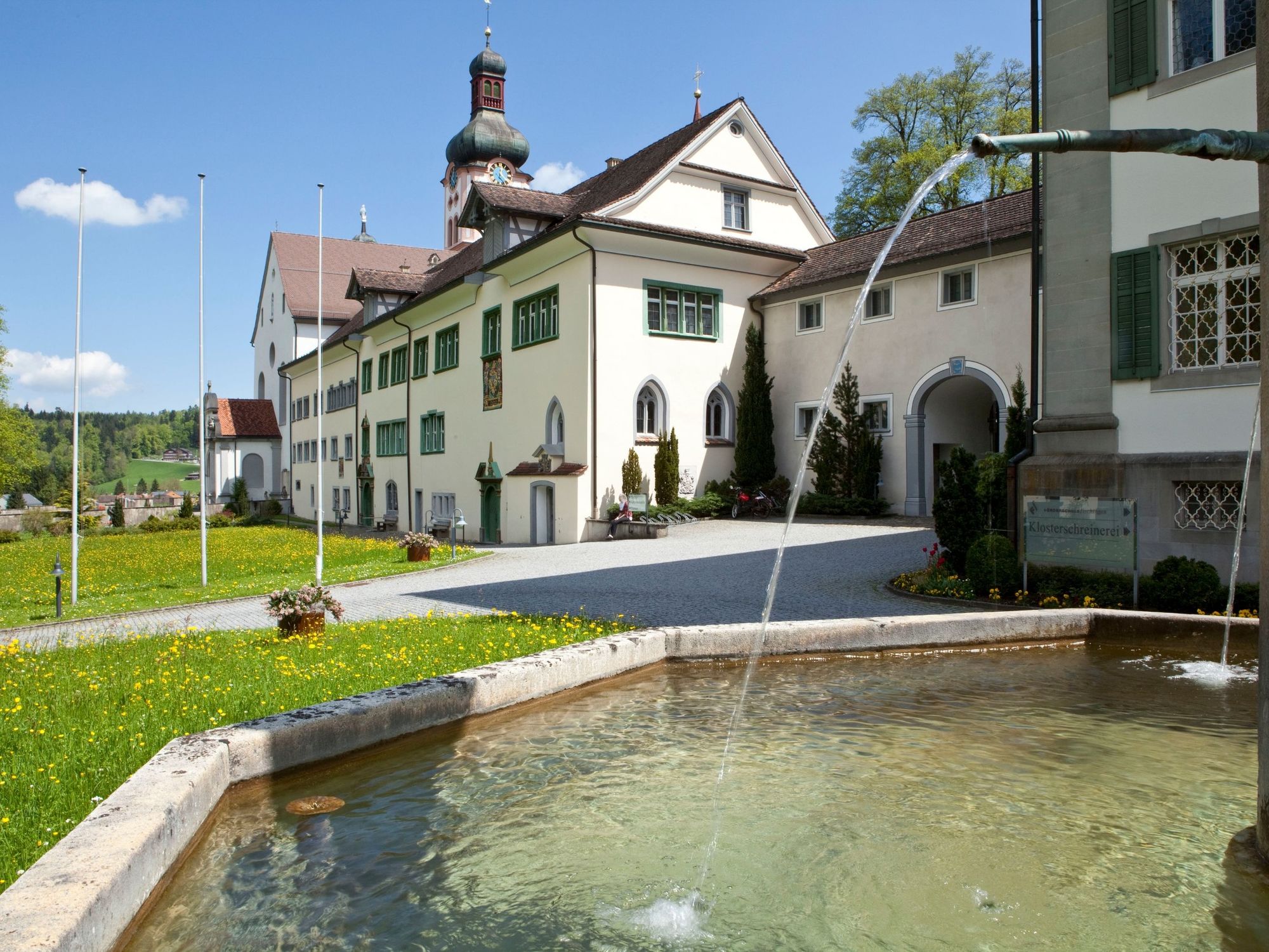
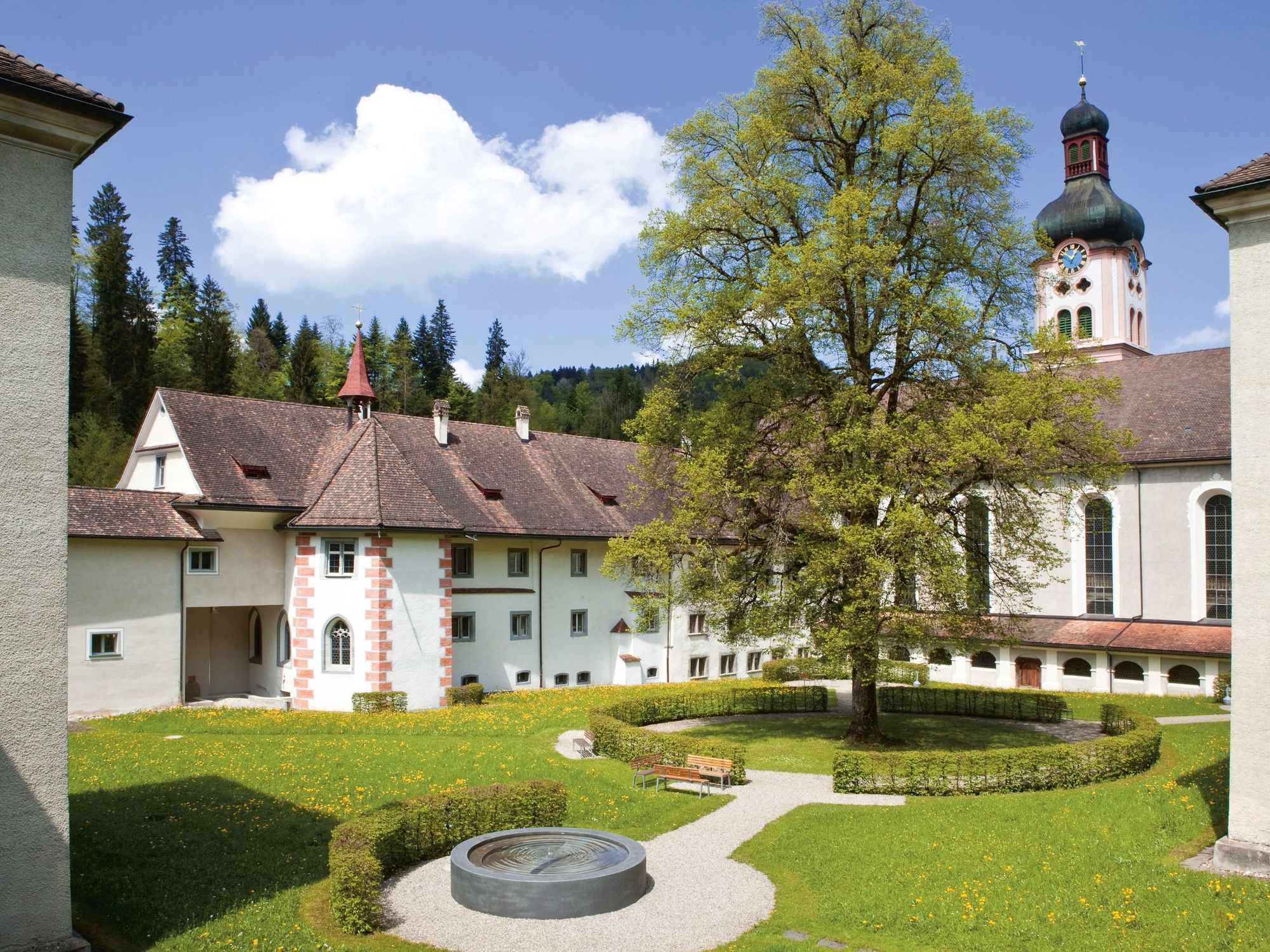
The way further leads to Engel inn in Sirnach, where pilgrims receive a free soup on presentation of the pilgrimage pass. Alongside the well known Martin's chapel in Oberwangen the pilgrim's path leads to the monastery of Fischingen, where the pilgrims' thirst can be satisfied with a glass of pilgrimage beer from the monastery brewery.
See also
Thurgau Tourismus
Egelmoosstrasse 1
8580 Amriswil
Tel: +41 (0)71 414 11 44
Fax: +41 (0)71 414 11 45
Internet: www.thurgau-bodensee.ch
E-Mail: info@thurgau-bodensee.ch - Directions
-
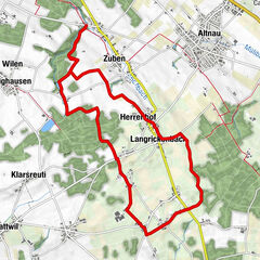
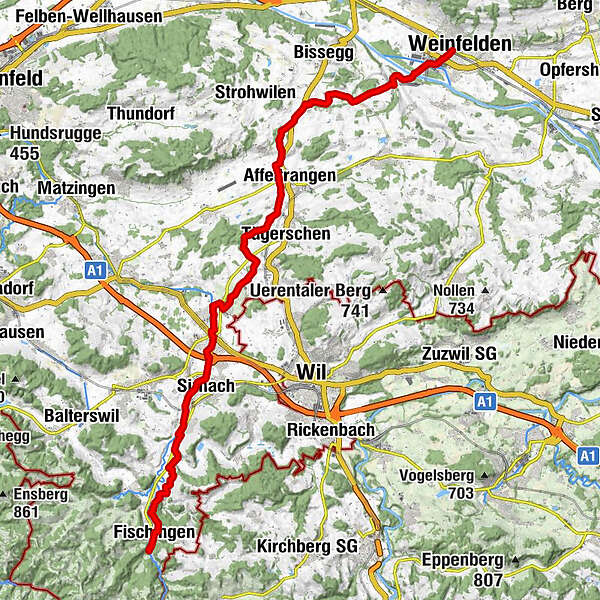
Weinfelden - Bussnang - Holzhäusern - Affeltrangen - Münchwilen - Sirnach - Oberwangen - Fischingen
- Highest point
- 674 m
- Endpoint
-
Kloster Fischingen
- Height profile
-
 © outdooractive.com


- Author
-
The tour Via Jacobi (Weinfelden - Fischingen) is used by outdooractive.com provided.
GPS Downloads


General info
Refreshment stop
Cultural/Historical
Other tours in the regions
-
Thurgau Bodensee
1428
-
Münchwilen
602
-
Bettwiesen
102