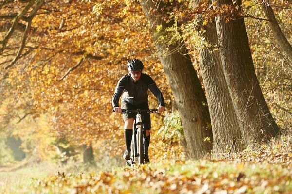
- Brief description
-
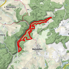
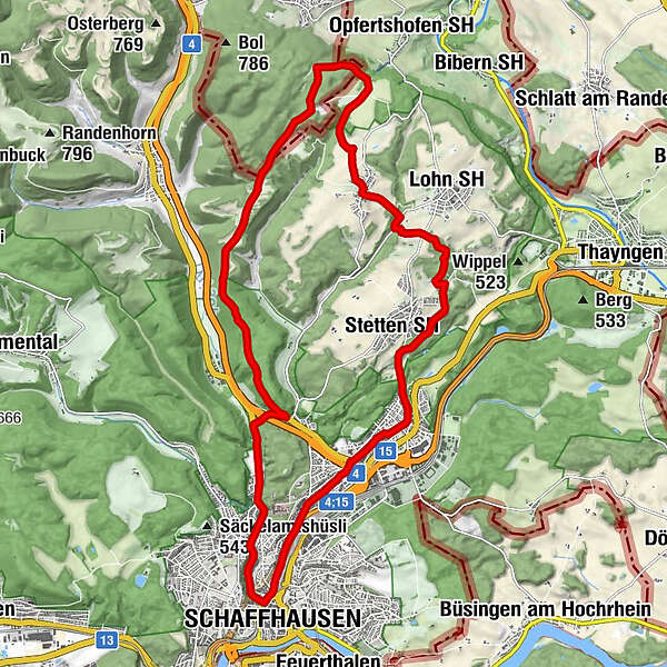
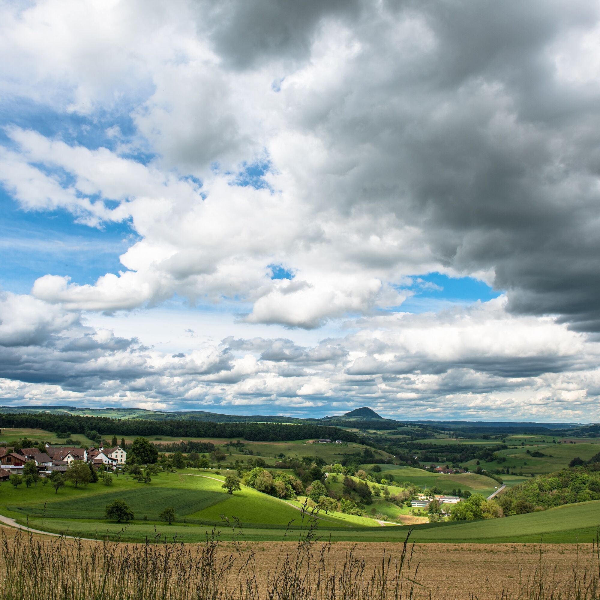
The circular tour with start and finish in Schaffhausen takes you through the beautiful Reiat region to the Reiathöfe farms.
- Difficulty
-
medium
- Rating
-
- Starting point
-
Railroad station, Schaffhausen
- Route
-
Schaffhausen (403 m)0.1 kmSandlöchli, TTM Gastro2.2 kmSt. Peter2.5 kmRef. Kirche Herblingen3.7 kmHerblingen3.8 kmStetten SH (563 m)4.9 kmBüttenhardt (658 m)9.0 kmMühlental20.9 kmSchaffhausen (403 m)21.9 km
- Best season
-
JanFebMarAprMayJunJulAugSepOctNovDec
- Description
-
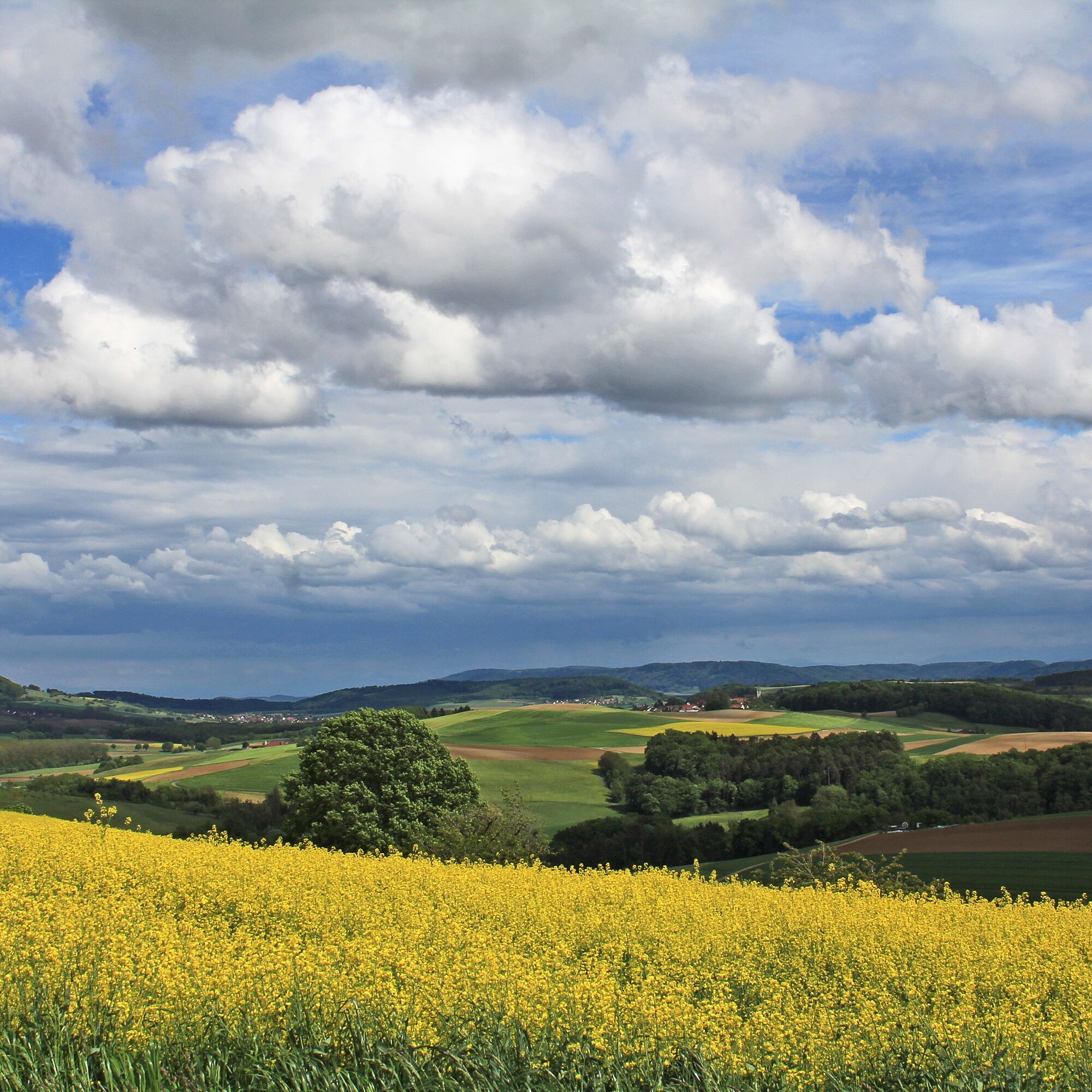
This mountain bike route takes you from Schaffhausen to the northern part of the canton to the Reiathöfen and back. This part of Schaffhausen is less well known, but no less beautiful. Enjoy the varied flora and fauna on this tour. You cycle mostly on gravel and natural paths as well as trails through forests and pass the villages of Stetten, Lohn and Büttenhardt. From there you can see as far as the Swiss Alps on a clear day.
- Directions
-
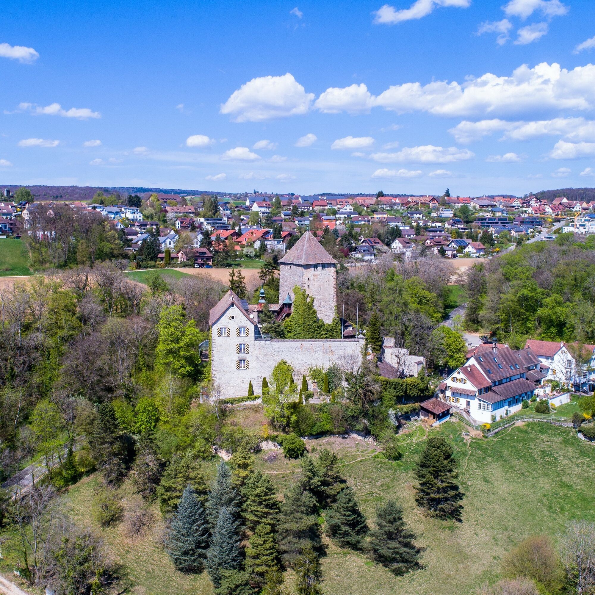
The route starts in Schaffhausen at the train station. From here, take the Hochstrasse to Herblingen. In the village center of Herblingen, take the Schlossgass in the direction of Stetten, past Herblingen Castle, which is now privately owned. Directly after the castle, a path on the right leads into a wooded area. Drive through the wood and keep left towards Schönenbüel. The path on the right leads into the next section of woodland. Follow the path until you have to cross the main road "Stettemerstrasse" to reach Freudentalstrasse via field paths. Turn left there and only a few meters later you will reach the crossroads to Büttenhardt. Ride through the village in a northerly direction until you reach Oberdorf and from there onto the dirt road Buckstrasse. Follow the road until you reach Reiathof. If you need a short break, it is worth taking a detour to the Reiatstube restaurant. The route runs through another section of forest back towards Schaffhausen. You are now directly on the border with Germany. Above the Freudental valley, the forest path leads over the Emmerbärg and Längebärg into the Merishausertal valley to the animal shelter. Here you turn right along the main road to the traffic circle and through the Mühlental valley back to Schaffhausen station.
- Highest point
- 721 m
- Endpoint
-
Railroad station, Schaffhausen
- Height profile
-
 © outdooractive.com
 - Equipment
-
Mountain bike, bike helmet, drinks and snacks for in between.
- Safety instructions
-
Part of the route runs along the main road. We recommend that you wear a bicycle helmet.
- Tips
-
Enjoy the far-reaching views as far as the Swiss Alps.
- Additional information
- Directions
- Public transportation
- Parking
-
Various parking facilities in the center of Schaffhausen:
- Parking garage train station
- Diana parking garage
- Herrenacker parking garage
- Author
-
The tour Round tour Reiathöfe is used by outdooractive.com provided.


General info
-
SchaffhauserLand
50
-
Reiat
17
-
Büttenhardt
6