- Difficulty
-
medium
- Rating
-
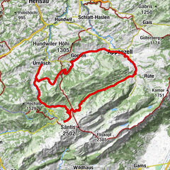
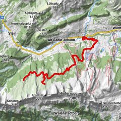
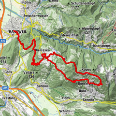
- Route
-
Gretschins1.9 kmHof4.8 kmUntergass5.4 kmBüel9.3 kmBuchs (448 m)9.8 km
- Highest point
- 665 m
- Height profile
-
 © outdooractive.com
- Author
-
The tour Valschnära is used by outdooractive.com provided.
GPS Downloads


Other tours in the regions
-
Heidiland
336
-
Werdenberg
110
-
Sevelen
33