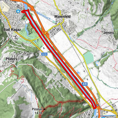

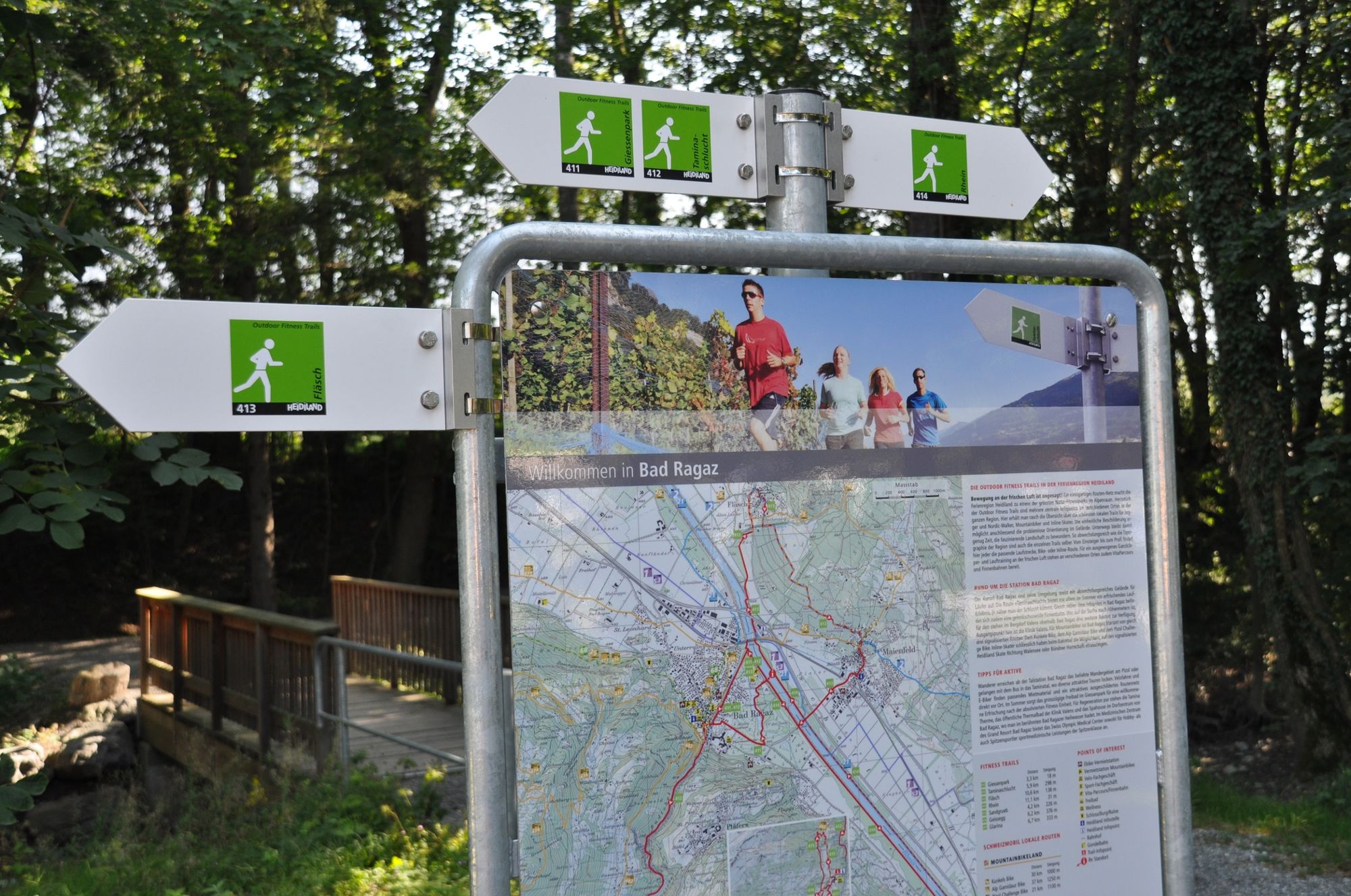
- Brief description
-
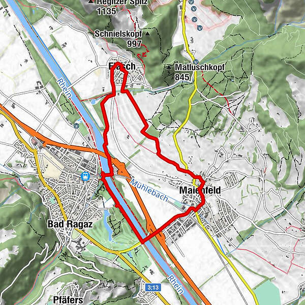
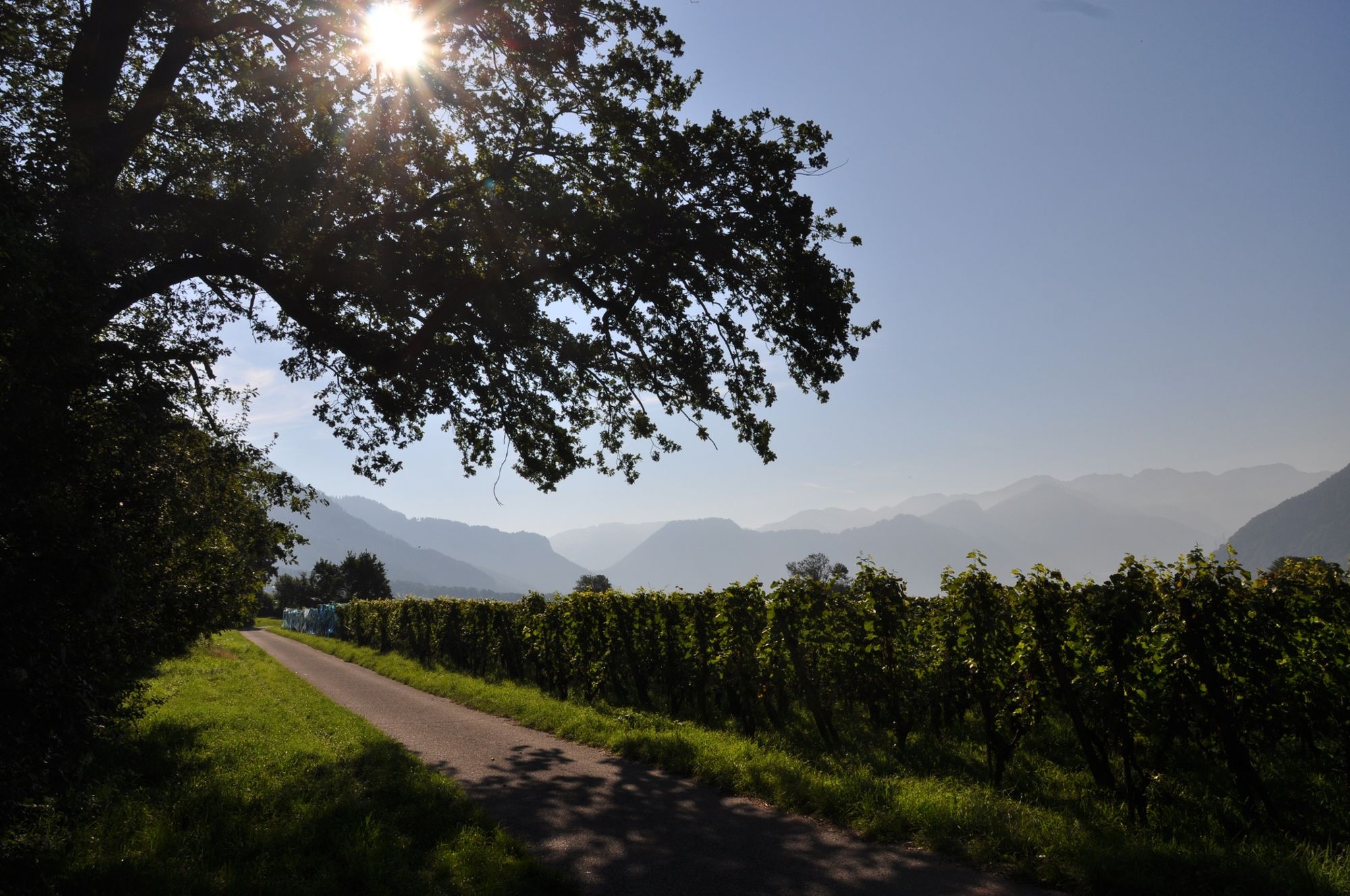
The trail for wine lovers: from the wine capital Fläsch to the wine capital Maienfeld, most of the way leads through the vineyards. But the Fläsch Trail also offers a lot of nature and wonderful views over the Bündner Herrschaft.
- Difficulty
-
medium
- Rating
-
- Route
-
Mühle1.6 kmFläsch (528 m)3.0 kmAmanduskirche6.2 kmMaienfeld (504 m)6.2 kmSchloss Maienfeld6.4 kmAlpenrose6.5 km
- Best season
-
JanFebMarAprMayJunJulAugSepOctNovDec
- Highest point
- 554 m
- Endpoint
-
Bad Ragaz, Infopoint der Station Bad Ragaz
- Height profile
-
 © outdooractive.com


- Author
-
The tour Fläsch Trail 413 is used by outdooractive.com provided.
GPS Downloads


General info
Refreshment stop
A lot of view
Other tours in the regions
-
Heidiland
49
-
Bündner Herrschaft
35
-
Bad Ragaz
8