
- Brief description
-
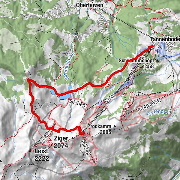
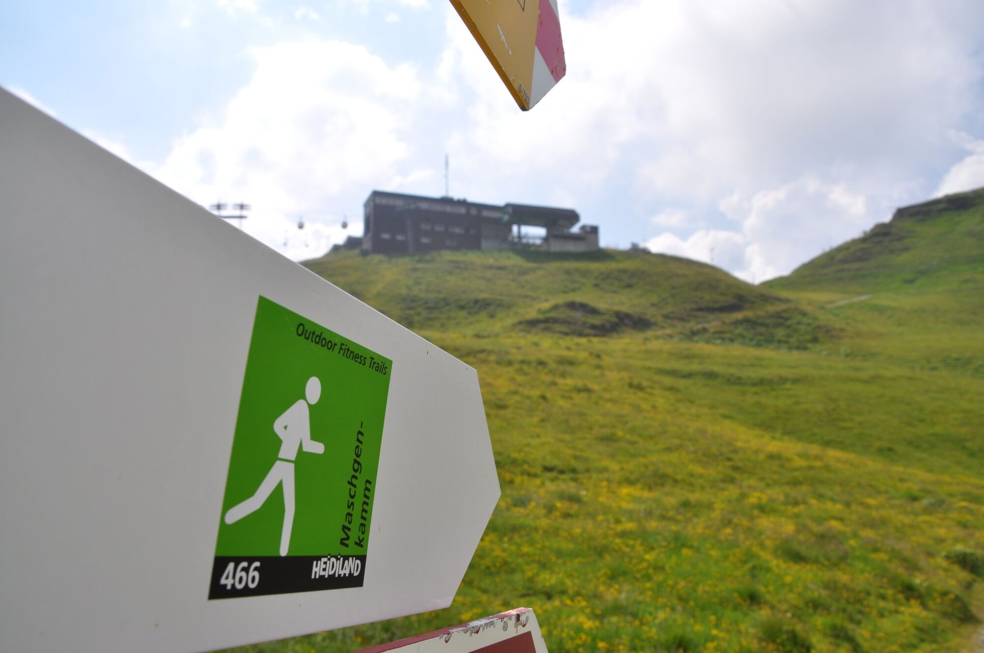
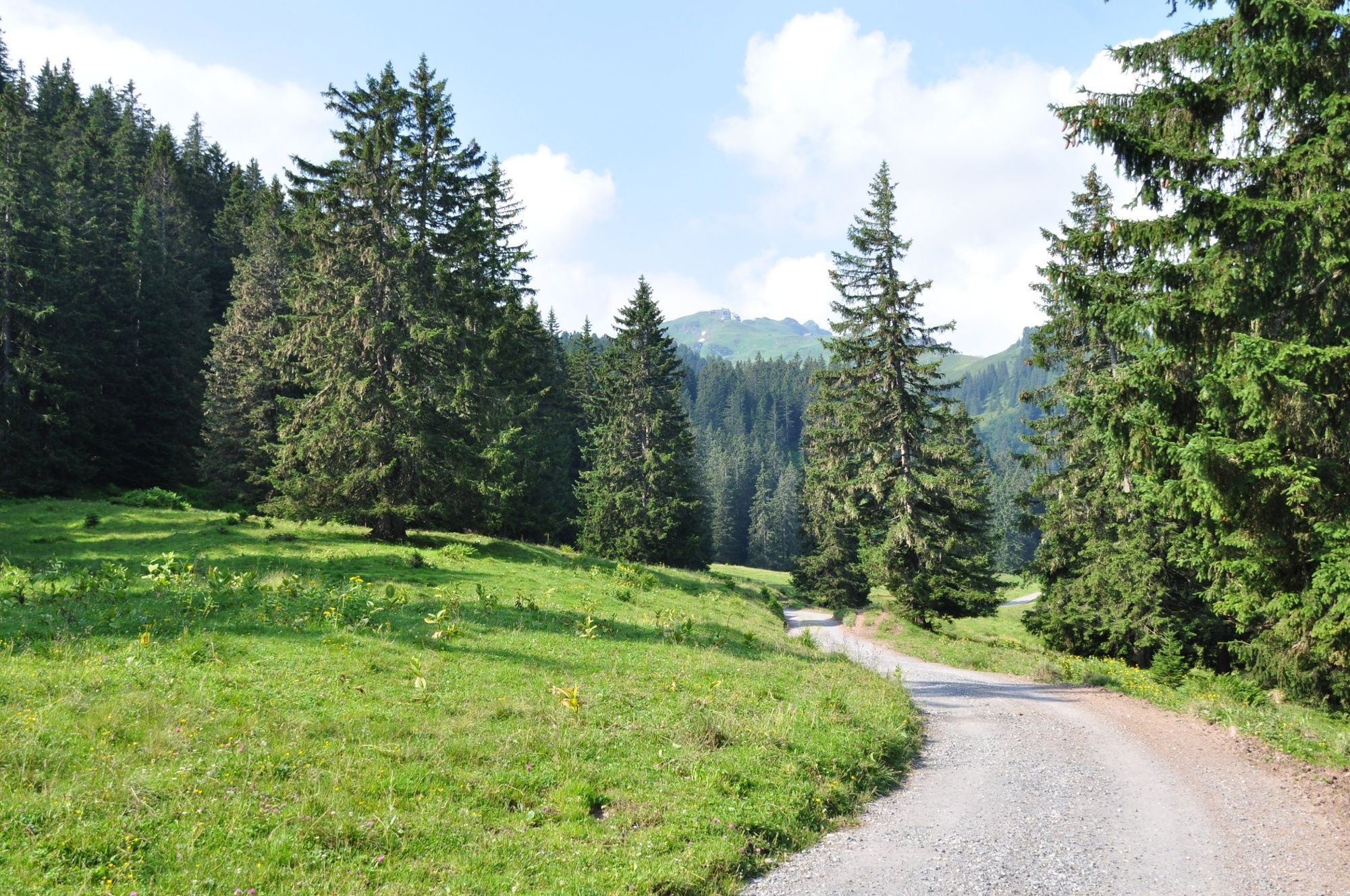
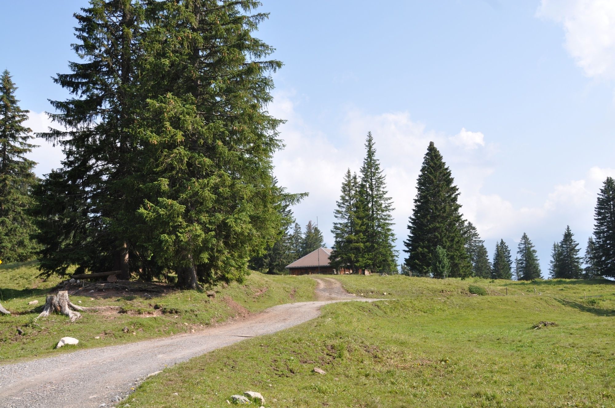
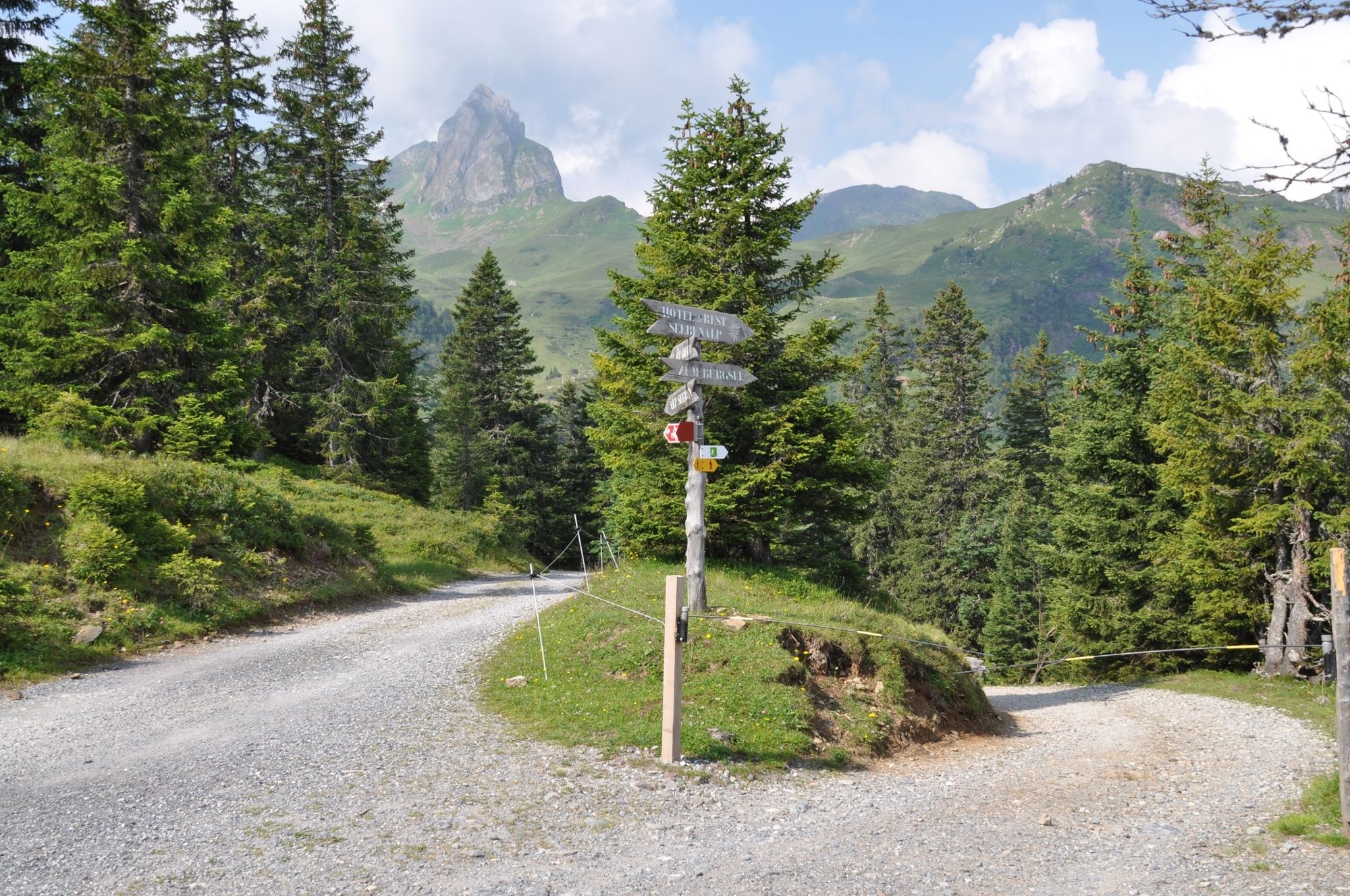
Whoa! That's a challenge! The Maschgenkamm trail leads up to more than 2,000 metres above sea level on very well-developed alpine and hiking trails. But on the whole route you will be rewarded with a wonderful panorama.
- Difficulty
-
medium
- Rating
-
- Route
-
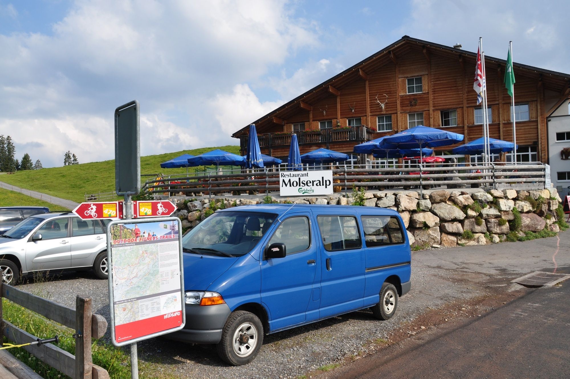
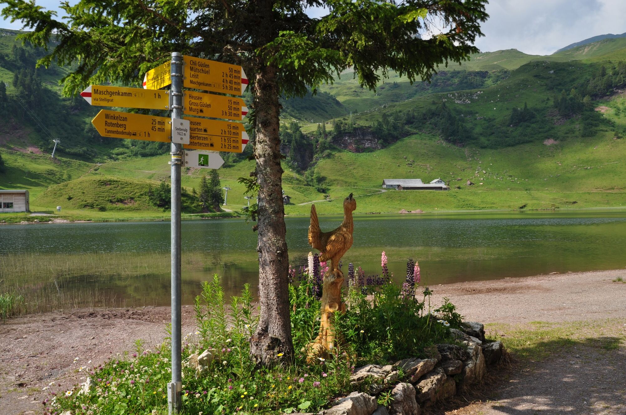
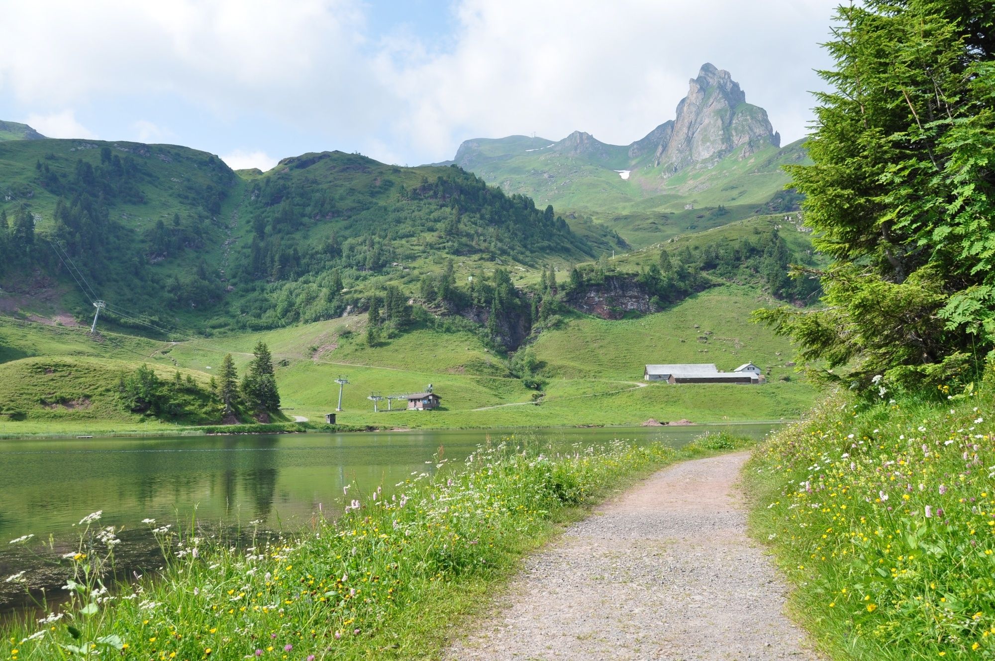
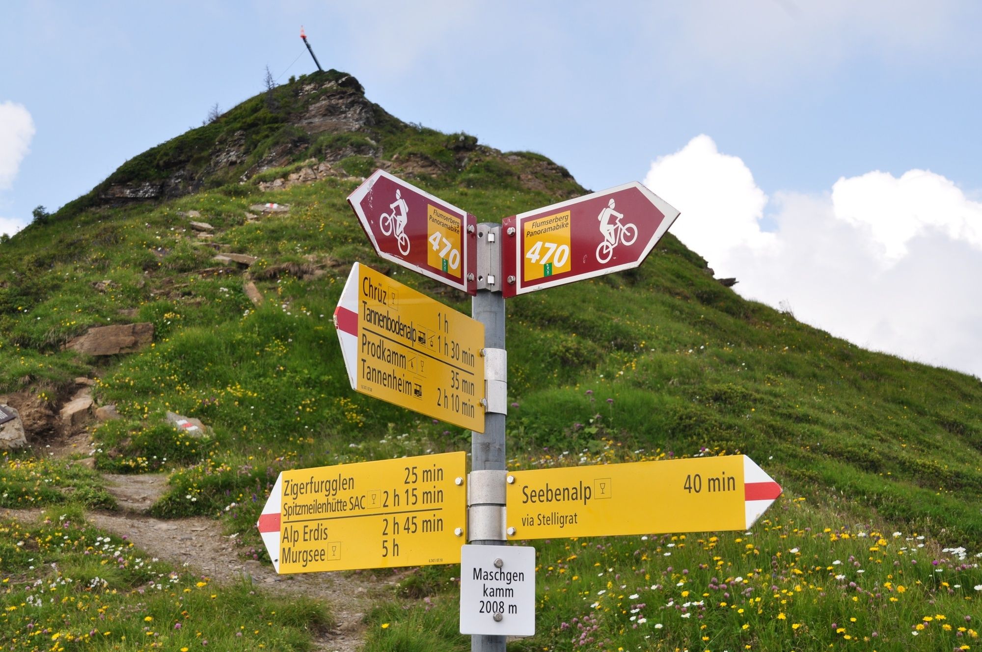
Tannenboden (1,344 m)Winkelzahn1.7 kmChatzenberg2.4 kmSeebenalp2.9 kmSeebenalp3.0 kmChli Güslen (1,868 m)4.8 kmCuncels (1,937 m)5.4 kmPicknickraum7.9 kmMaschgenkamm (2,020 m)8.0 kmPanoramarestaurant Maschgenkamm8.0 km
- Best season
-
JanFebMarAprMayJunJulAugSepOctNovDec
- Highest point
- 2,009 m
- Endpoint
-
Maschgenkamm, Flumserberg
- Height profile
-
 © outdooractive.com
-

-
AuthorThe tour Maschgenkamm trail 466 is used by outdooractive.com provided.
GPS Downloads


General info
Refreshment stop
A lot of view
Other tours in the regions
-
Heidiland
49
-
Walensee
27
-
Oberterzen
18