

© Dominique Delpoux
- Brief description
-
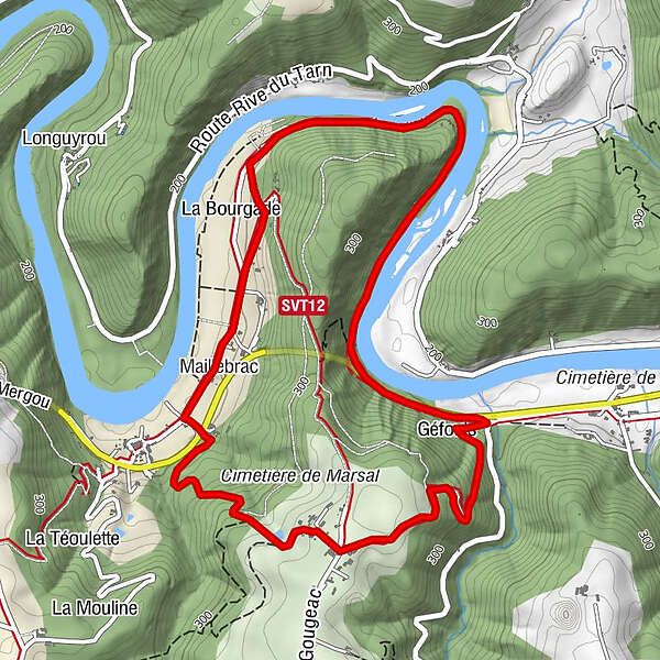
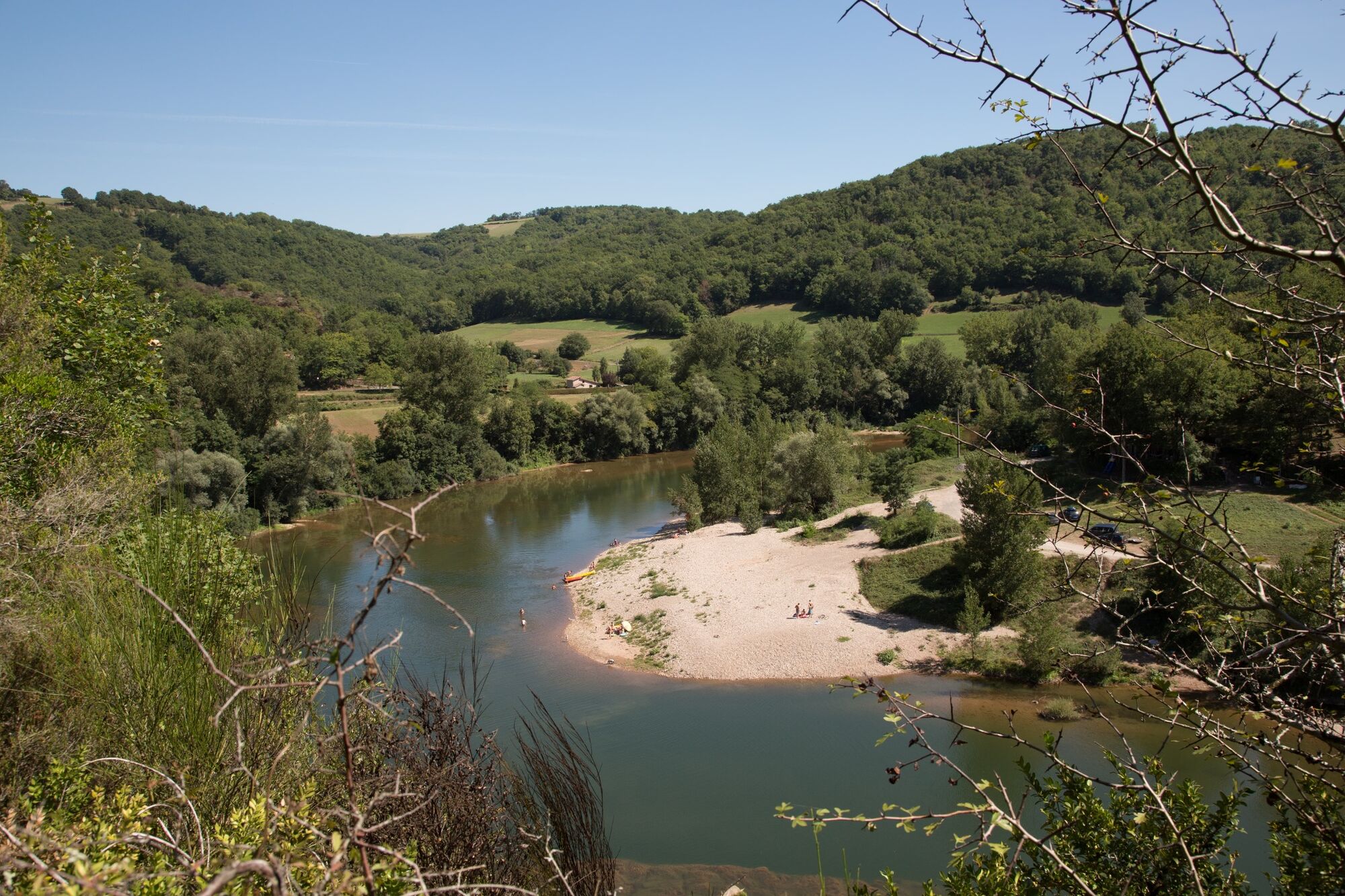
Following the left bank of the Tarn for 3 km, the Chemin de la Beaute (from the word "Veaute" or "voute") follows the meander around a wooded ridge overlooking the river by 150 to 200 metres.
- Difficulty
-
easy
- Rating
-
- Route
-
Marsal0.1 kmMaillebrac0.3 kmLe Gougeac5.5 kmMarsal6.4 km
- Best season
-
JanFebMarAprMayJunJulAugSepOctNovDec
- Description
-
Starting from the small village which has preserved its schistose stone houses, in the hollow of the valley, preserved by the road access formed by two tunnels (constructions planned for the passage of a railway line), the path follows two parts of the GR®36 with passages overhanging the Vallée du
Tarn Valley.
8 km of discovery, pleasant for the coolness in summer and allowing beautiful plunges on the landscapes of valley and plateaus of Ségala. - Highest point
- 357 m
- Endpoint
-
Bellegarde-Marsal
- Height profile
-
 © outdooractive.com
 - Additional information
-
APIDAE tourism data updated on 17/02/2023 by "Office de tourisme Vallée du Tarn & Monts de l'Albigeois".
Spotted an error? Write to the owner with the following information:
File name: Le méandre de Marsal | Record identifier: 4858978 | URL (link) for this Outdooractive page.
- Author
-
The tour The meander of Marsal is used by outdooractive.com provided.
GPS Downloads


Other tours in the regions
-
Tarn
331
-
L'albigeois
195