

© OT LARZAC ET VALLEES - E. CALAZEL

© Unbekannt - OT LARZAC ET VALLEES - E. CALAZEL

© Unbekannt - ADAC Cornus

© Unbekannt - ADAC CORNUS
- Brief description
-
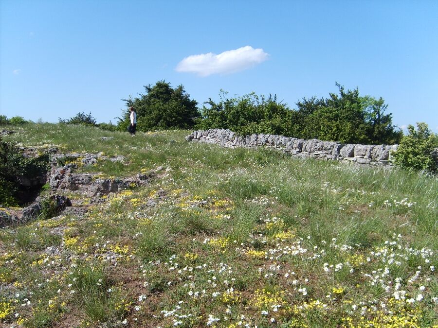
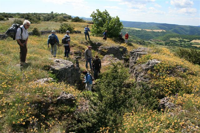
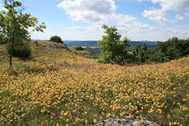
Le paradis des amateurs de botanique...
- Difficulty
-
medium
- Rating
-
- Route
-
Le Mas Raynal0.0 kmLairal0.1 kmLes Campets0.2 kmLes Devezes0.5 kmLes Crouzettes2.3 kmLe Puech2.6 kmSaint-Rome-de-Berlières7.7 kmLabiouradou7.9 kmLe Pradal8.3 kmPas de Tirecul (804 m)9.7 kmNegalières11.9 kmLe Mas Raynal13.6 km
- Best season
-
JanFebMarAprMayJunJulAugSepOctNovDec
- Highest point
- 831 m
- Endpoint
-
Cornus
- Height profile
-
 © outdooractive.com
- Author
-
The tour Randonnée Le plateau du Guilhaumard - PR44 is used by outdooractive.com provided.
GPS Downloads


General info
Healthy climate
Flora
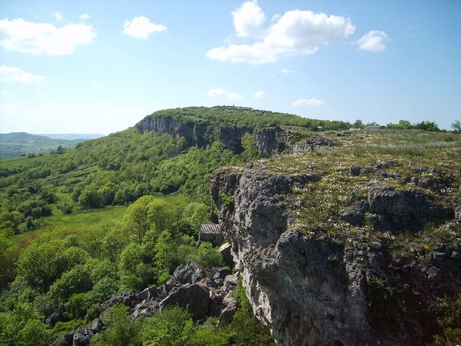
A lot of view
Other tours in the regions
-
Hérault
496
-
Larzac et Vallées
121