- Brief description
-
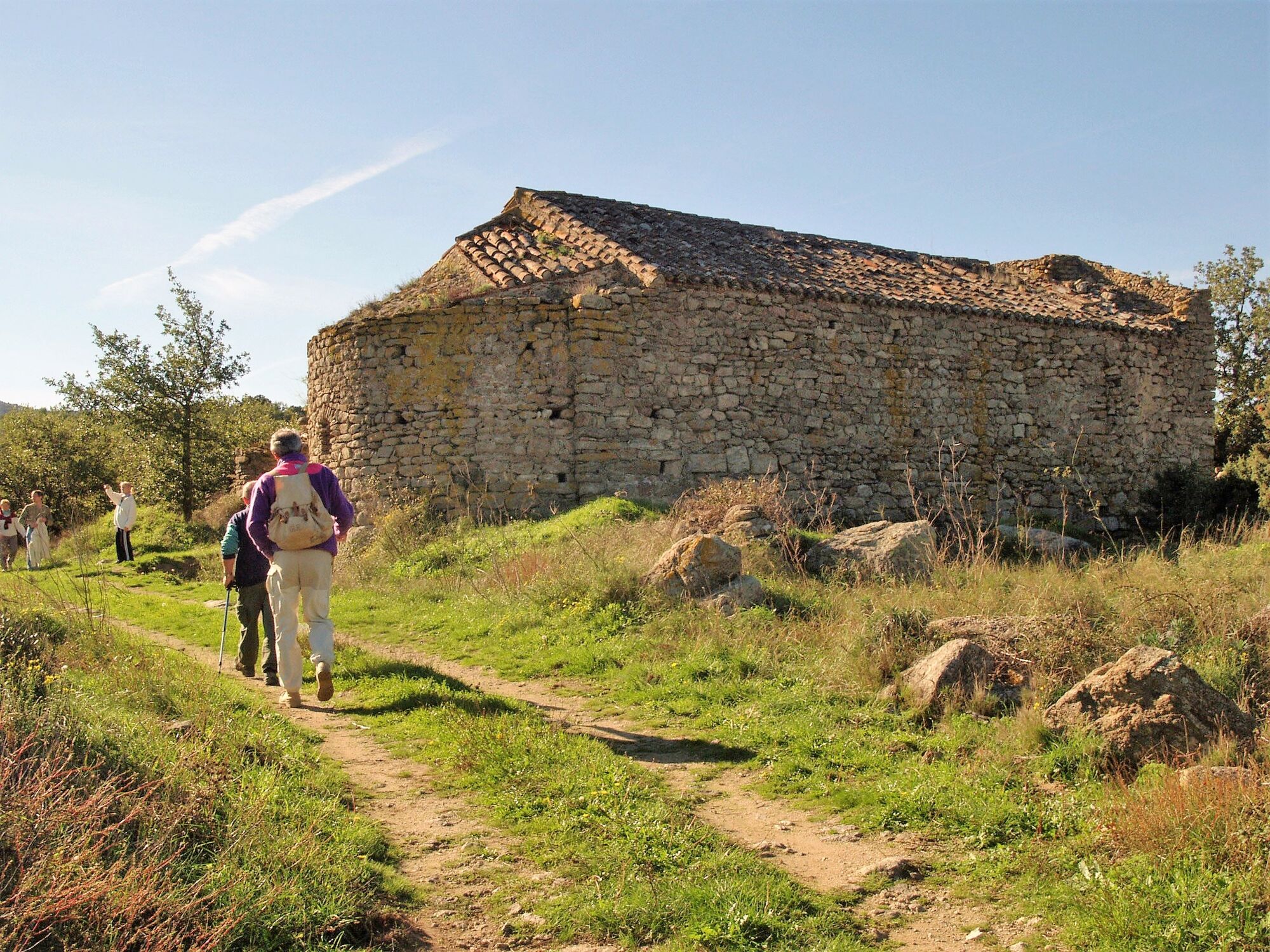
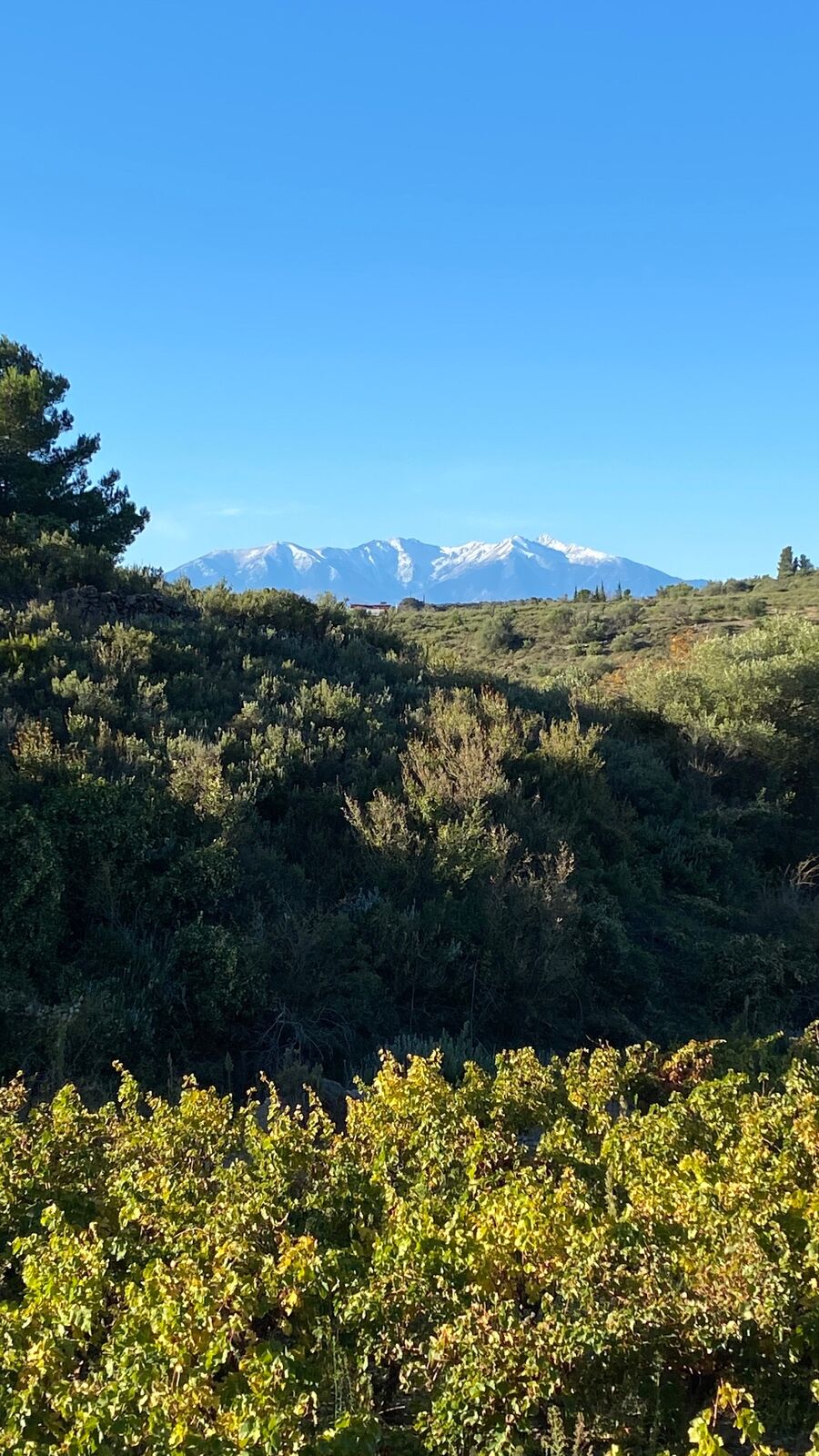
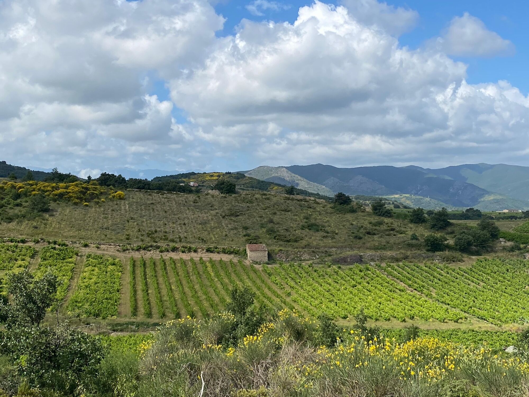
Until 1865, this old vicinal road led to the village of Latour-de-France via the chapel of Saint-Martin, lost in the midst of the vineyards. You will see a large number of capitelles along the way.
- Difficulty
-
easy
- Rating
-
- Starting point
-
GPS Coord. 42°44'24.0"N 2°36'53.4"E
- Route
-
Cassagnes0.2 kmCassagnes4.8 km
- Best season
-
JanFebMarAprMayJunJulAugSepOctNovDec
- Description
-
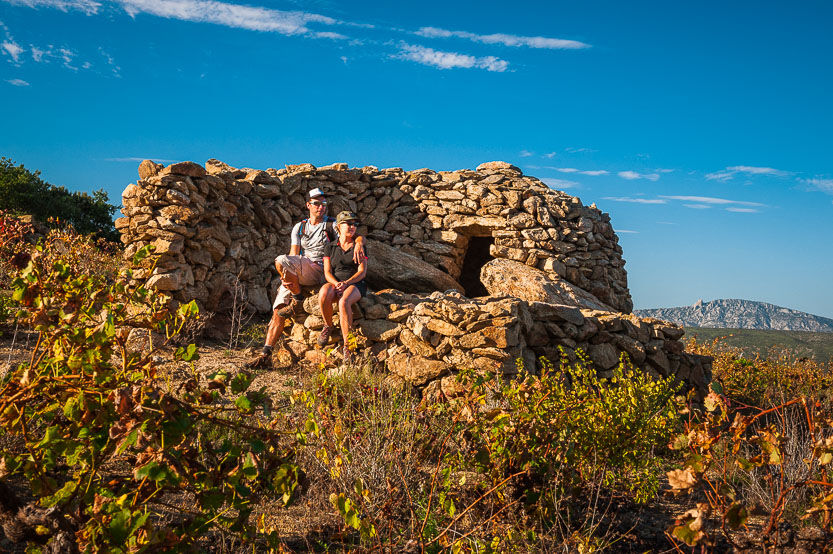
The term capitelle refers to a small dry-stone hut (i.e., without mortar). They are also called bories, baraques, orris, etc. These shelters have always been used by shepherds in bad weather, or by hunters for respite from the heat. They were built entirely from local materials (granite, shale or limestonedepending on what the terrain offered). The construction of these huts follows very specific rules. The choice of the size and shape of each stone to be placed is critical. The stones are then superimposed on top of each otherso that the walls are perfectly rounded on the inside. One of the characteristic features of these structures is the corbelled vault. It is based on two principles : a layer of stones is placed to overhang the lower layer ; and they are inclined slightly outwards. Whether the base plane is circular, elliptical or rectangular, the vaulted walls are ultimately topped off with a terminal slab.
- Directions
-
Starting point : Set out from the tourist information board (rue de la Carrérade )and follow the sign "Barrage sur l’Agly", then turn → (rue de la Carrérade) and follow thesign "Barrage sur l’Agly", then turn → on rue du Barrage.
1. 6 mn - 0,25 km : Go down to the → on rue du Camp Grand. Walk along the dry-stone wall lined road and past an oratory. 50 metres further on, leave the tarmac road to take the track ↑. Continue for 50 meters, and/at the bend, head down the path on the ← towards the woods.
2. 19 mn - 0,9 km : Take the footbridge to cross the brook and go up the path on the ← leading into the woods (on the right is howyou will return).
3. 24 mn - 1,1 km : At the exit of the woods, take the dry-stone wall lined path in ↑ of you.
4. 32 mn - 1,55 km : At the first junction, turn ← onto the tarmac road.
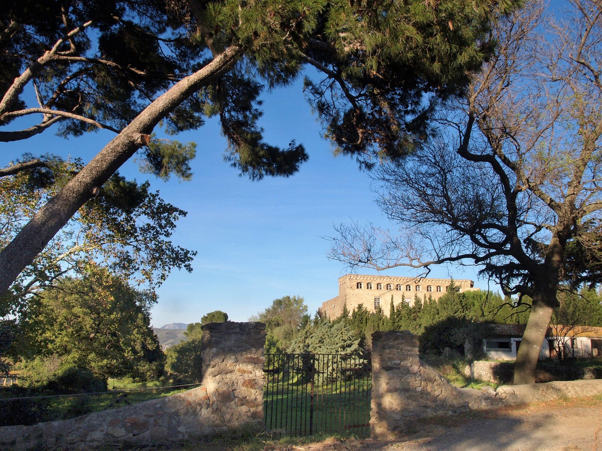
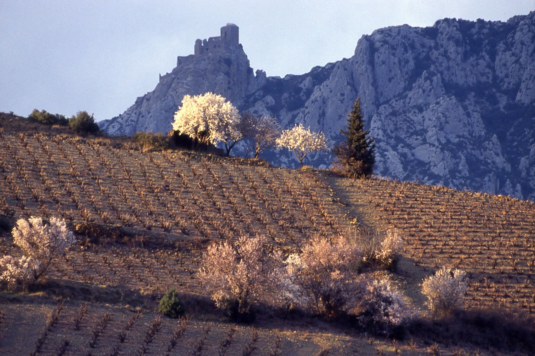
5. 36 mn - 1,75 km : At the second intersection turn → (beautiful view of the Tremoine tower on its rocky promontory). At the next crossroads, continue ↑ for a 2x10 minute round trip to visit the remains of the Chapel of St Martin (about 400 m).
6. 47 mn - 2,45 km : From the Chapel, go back to the crossroads. To continue the itinerary, take the tarmac road on the ←. At the fork,continue to the ←. In the distance, in your line of sight, you can see the Força Réal site. The track is now lined with capitelles, some of which are in perfect condition. At the crossroads, continue ↑ towards the capitelle which has a surrounding wall. Walk past it, and at the next intersection continue ↑. This will take you to the Col de l’Arque pass and the D17 (Château Cuxous is 700 m further on the left).
7. 1h10 - 3,75 km : Turn → onto the D17, walk 50 metres and take the small road on the behind the shed. At the intersection, continue ↑. At the bend, leave the tarmac road and take the path on the ← (signposted for the village of Cassagnes).
8. 81h18 - 4,2 km : At the next intersection, continue ↑ downhill through the woods. This will lead you to the footbridge from the beginning of the itinerary (step No. 2). Follow the same itinerary in the opposite direction to head back to the starting point.
1h40 - 5,1 km : End of trail.
- Highest point
- 342 m
- Height profile
-
 © outdooractive.com
 - Equipment
-
Even in summer, wear hiking clothes suitable for all weather conditions, walking shoes adapted to the terrain and to your feet, a backpack, essential accessories (water bottle, knife, first aidkit, flashlight, compass, hat) and walking sticks.
Remember to take enough water, avoid drinking water from streams.
Pack high-energy foods, rich in protein,carbohydrates and fructose such as cereal bars, fruit pastilles, dried fruit, etc. - Safety instructions
-
Alert : call 112 (European emergency number).
Before leaving :
Check the weather forecast before you go hiking. Check trail conditions and map, make sure you have enough time. Avoid going alone. Leave your itinerary with a friend or relative. Do not overestimate your capabilities : plan yourroute and select it according to your physicalabilities. Do not forget the map of the area (preferably IGN Top 25), and a compass. If possible, plan a fall-back solution in case of aproblem (refuge or another route). Avoid leaving in bad weather and adapt your route to the seasons (violent thunderstorms in summerand autumn). In the event of a thunderstorm, avoid using the telephone and electrical devices, do not take shelter under trees, do not cross waterways (even dry ones). Stay on the marked paths and trails. Be respectful of the people living along the trails and of othernature users. Observe instructions during traditional hunting periods -www.fdc66.fr. Do not litter, take your rubbish away with you. Be respectful of crops and wildlife. Respect the facilities, signalling and markings provided. Respect fences, close gates after you. Be silent and discreet, observe the fauna and flora without touching them. Do not build fires ; do not smoke in the woods or near edges and undergrowth.In case of emergency, please call :
Medical Urgency : 15 Firefighters : 1125 key informations to give when you report an accident :
Where did it happen ? Who is concerned ? What happened ? When did it happen ? What were the weather conditions ? - Tips
-
Partly shaded trail, suitable for families.
- Additional information
- Directions
-
Via D117 (Estagel) and D17 (Latour-de-France, Cassagnes) or via N116(Millas), D612/D38 (Bélesta) and D21/D17(Cassagnes). Signpost on the D17 opposite the old cooperative wine cellar, at the tourist information panel (at the exit of the village on the right towards Latour-de-France).
- Public transportation
-
-
-

-
AuthorThe tour Circuit randonnée : Chemin des capitelles - CASSAGNES is used by outdooractive.com provided.