© Unbekannt - P2V

- Brief description
-
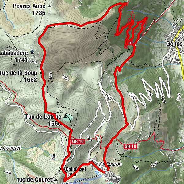
Starting from the Val Louron resort, this short but challenging loop offers a significant elevation gain for these 9.9km and 670m+.
- Difficulty
-
medium
- Rating
-
- Starting point
-
Val Louron - Loudenvielle
- Route
-
Hameau de Belle Sayette0.2 kmTuc de la Boup (1,682 m)2.8 kmHameau de Belle Sayette9.7 kmVal Louron9.8 km
- Best season
-
JanFebMarAprMayJunJulAugSepOctNovDec
- Description
-
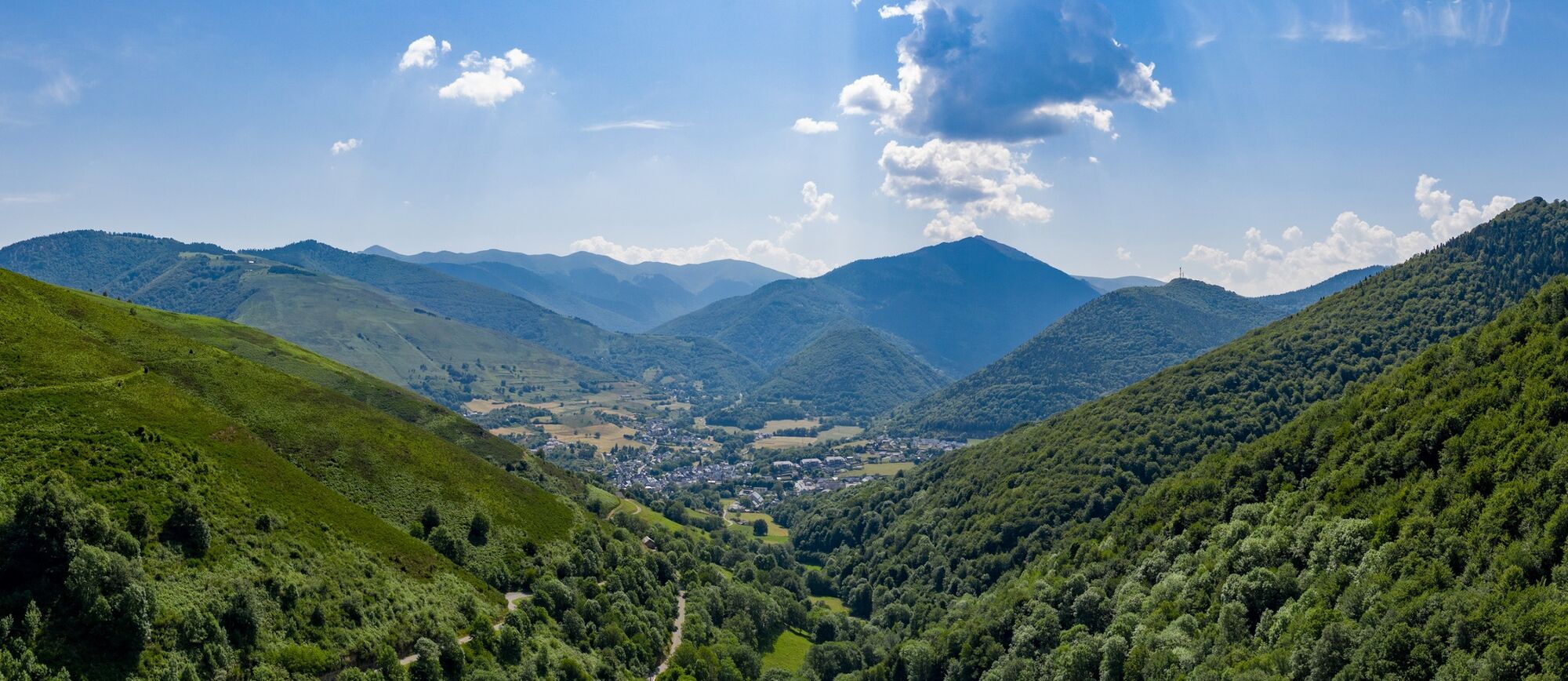
An ideal loop to work on the positive and negative gradient while enjoying a magnificent view of the peaks and the valley.
- Highest point
- 1,718 m
- Endpoint
-
Val Louron - Loudenvielle
- Height profile
-
 © outdooractive.com
 - Equipment
-
Good footwear
Weather-appropriate clothing: always carry a waterproof jacket
Hat or peak cap
Sunscreen
Water bottle
Hiking poles - Safety instructions
-
In case of emergency, call 112
For all trails:
Use marked trails only, and take note of all signposting – for both your own safety as well as that of grazing animals and to avoid disturbing wildlife. Close gates after passing through. Please treat other trail users, as well as the plants and animals, with respect.For mountain trails:
Take extra care protecting yourself from the sun at high altitudes. UV radiation can be exceptionally strong, even in cloudy weather. Plan your trail carefully: take the fitness level of each participant, weather forecast and season into consideration. Weather conditions can change quickly in the mountains, without warning. Appropriate clothing is therefore essential, along with adequate supplies of food and water. In case of uncertain weather conditions, turn back in good time. Inform others of the route you plan to take. Whenever possible, avoid going alone. Take note of warning signs indicating the constant danger in river beds and along watercourses below dams and reservoirs: water levels may rise rapidly without warning. - Tips
-
The trail is not very technical, which makes it possible to have a lot of fun on this circuit.
- Additional information
-

-
AuthorThe tour Crête de Penaube is used by outdooractive.com provided.