- Brief description
-
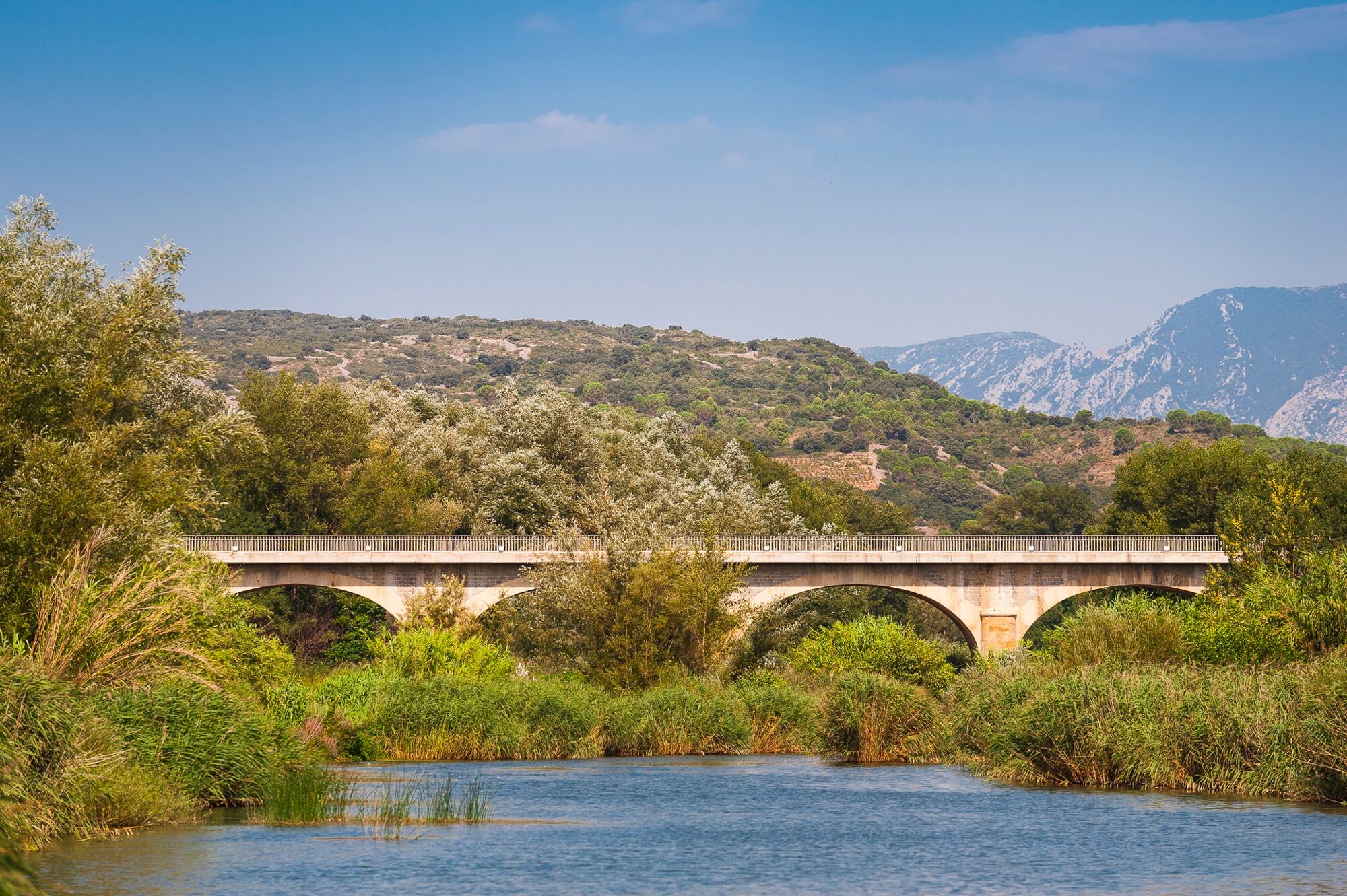
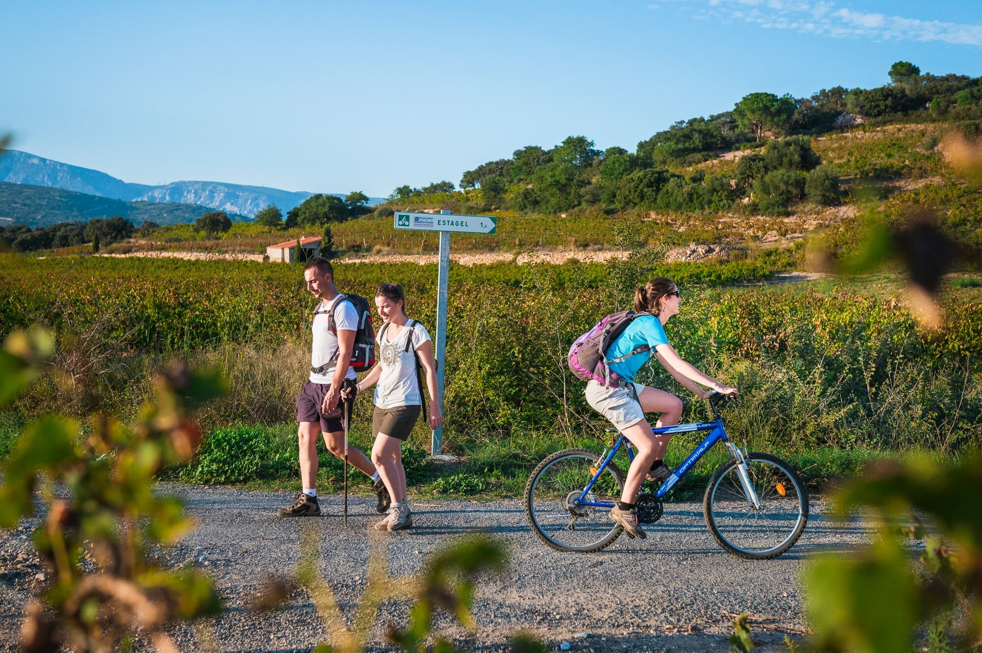
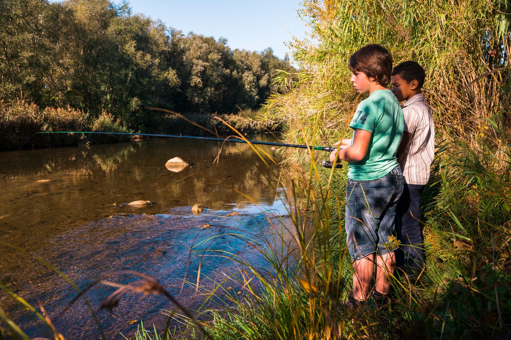
The locals say that the river Agly is difficult to see. Nestled away in its lush sanctuary and protective vegetation, it hides from all except those who venture to meet it at its bed. Very easy family hike, mostly shady. This trail can also be done on foot.
- Difficulty
-
easy
- Rating
-
- Starting point
-
GPS Coord. 42°46'22.1"N 2°41'54.9"E
- Route
-
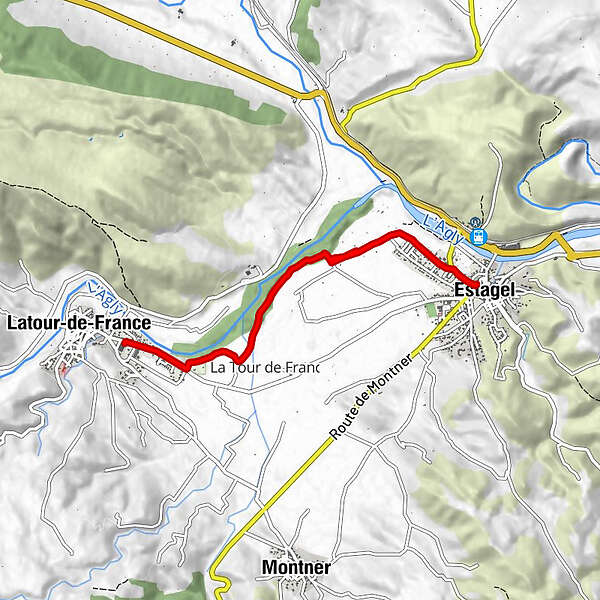
Estagel0.0 kmLatour-de-France4.0 kmEstagel8.3 km
- Best season
-
JanFebMarAprMayJunJulAugSepOctNovDec
- Description
-
The source of the river Agly is the Aude, at the foot of the Bugarach Massif. It enters the Département through the Galamus gorges. Instead of passing through the valley of Saint-Paul-de-Fenouillet and following the slope to the sea, it follows gorges through the hills. Near Caramany, its flow is interrupted by a dam which was built in 1994. Then it winds its way through the Salanque between Perpignan and the Etang de Salses before flowing into the Mediterranean Sea. During periods of drought, there is so little water in the river Agly that it gradually disappears, and resurfaces much further downstream. The limestone terrain surrounding Estagel is karstified, i.e., shaped by the dissolution and erosion of runoff and infiltration water. The result is a whole series of caves, chasms and groundwater systems. The river Agly disappears level with Estagel and resurfaces at the Font Estramar fountain, in Salses-le-Château; the technical name for this phenomenon is a "resurgence".
- Directions
-
Starting point : Set out from the information notice board located in the courtyard of the Espace Mandela. Exit this courtyard and turn → onto avenue Nicolau (D117) towards St-Paul-de- Fenouillet. Go past the post office and the town hall, and continue ↑ along the D117.
1. 0,3 km : Before the petrol station, turn at an angle to the ← into rue Guy Mocquet and take the street ↑ of you to exit the village.
2. 1 km : At two successive intersections with tarmac roads (first on the right and then on the left - 20 m), continue ↑.
3. 1,6 km : At the next intersection, turn → onto the track which leads towards the woods.
4. 1,7 km : The track makes a left turn and continues through undergrowth for about 1.1 km. Ignore the various intersections with secondary tracks.
5. 2,9 km : After the undergrowth, when you reach the crossroads of tracks, continue ↑.
6. 3,1 km : On the bend, take the track on the →, walk 100 m and then turn ←. Cross the ford and continue on the ↑, walking along with the campsite on your right.
7. 3,7 km : Walk past the campsite and when you reach road D17, turn → towards the village centre along the main road.
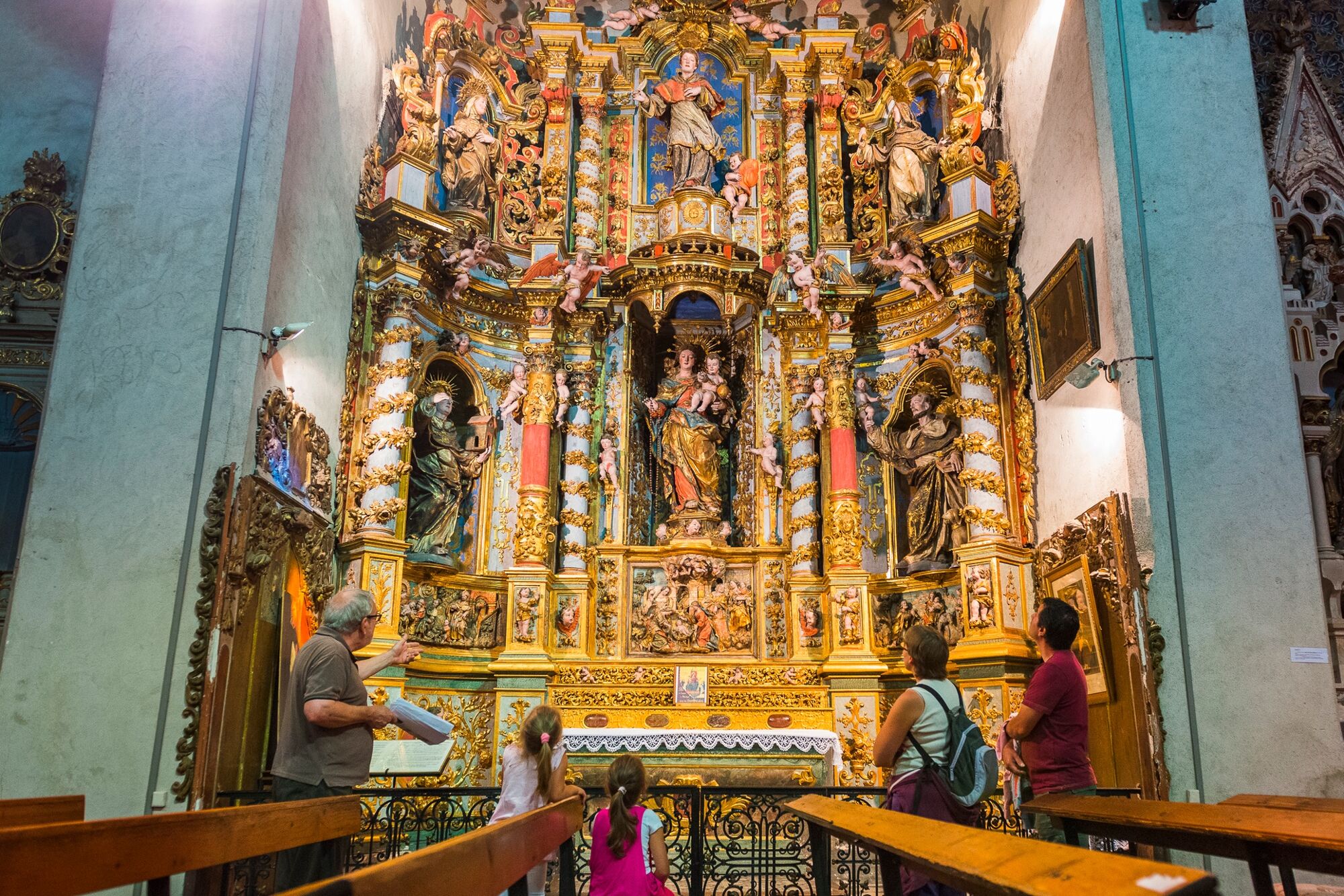
4,4 km : You will arrive in front of the cooperative wine-cellar. Before heading back, stroll through the picturesque streets of the village (not marked). For the return journey, follow the same route as on the outward journey in reverse.
8,8 km : End of trail.
- Highest point
- 94 m
- Height profile
-
 © outdooractive.com
 - Equipment
-
Always wear a helmet and appropriate safety gear.
Check your bike regularly.
Even in summer, take a backpack with you with essential accessories (first aid, flashlight, compass, all-weather cycling clothing, repair accessories kit).
Remember to take enough water; avoid drinking water from streams.
Pack high-energy foods, rich in protein, carbohydrates and fructose such as cereal bars, fruit pastilles, dried fruit, etc. - Safety instructions
-
Alert : call 112 (European emergency number).
Before leaving :
Avoid going alone. Leave your itinerary with a friend or relative. Do not overestimate your capabilities: plan your route and select it according to your physical abilities. Do not forget the map of the area (preferably IGN Top 25), and a compass Avoid leaving in bad weather and adapt your route to the seasons (violent thunderstorms in summer and autumn, strong winds, etc.). In the event of a thunderstorm, avoid using the telephone and electrical devices, do not take shelter under trees, do not cross waterways (even dry ones).In case of emergency, please call :
Medical Urgency : 15 Firefighters : 1125 key informations to give when you report an accident :
Where did it happen ? Who is concerned ? What happened ? When did it happen ? What were the weather contidions ?Moutain biking code of conduct :
For your own safety, always stay on the marked paths and observe the provided directions. Do not overestimate your abilities and always be in control of your speed. Be careful and courteous when overtaking or when passing hikers; pedestrians have right of way. Be respectful of private property and crops. Beware of agricultural and forestry machinery. Observe instructions during traditional hunting periods - www.fdc66.fr. Be respectful of the facilities provided and respect fences, close all gates behind you. Do not disturb wildlife, protect the fauna and flora. Do not litter, take your rubbish away with you, be discrete and show respect for the environment. - Tips
-
-
- Additional information
- Directions
-
Via D117 (Perpignan/Foix axis) to Estagel. Just before the post office, turn right and park in the central car park. Walk to the tourist information board, and the starting point panel in the courtyard of the Espace Mandela (av. Dr. Torreilles/D117).
- Public transportation
-
-

-

-
AuthorThe tour Circuit VTT : Bords d’Agly - ESTAGEL is used by outdooractive.com provided.