Tour data
6.03km
652
- 1,260m
661hm
394hm
01:45h
- Brief description
-
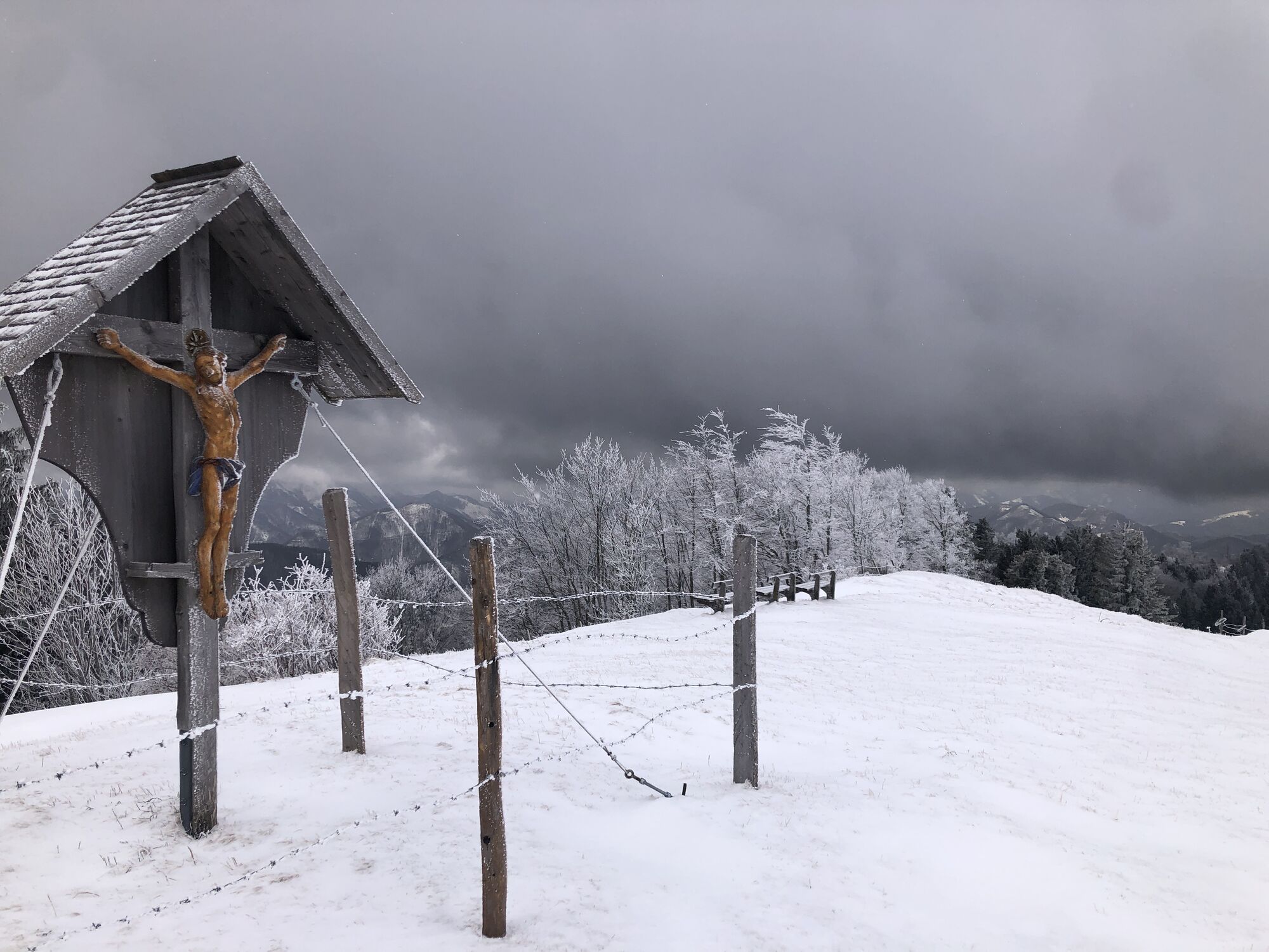
Unangenehmer Anstieg vom klausriegler ( hatte leider keine Eisen mit), dann herrlicher Weg im Schnee,
- Difficulty
-
medium
- Rating
-
- Route
-
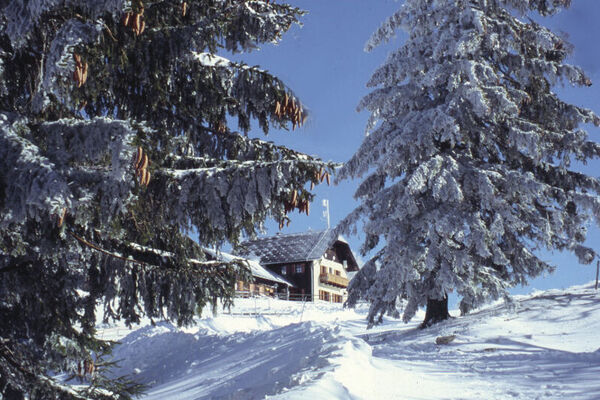
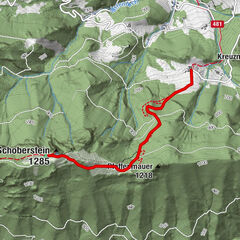
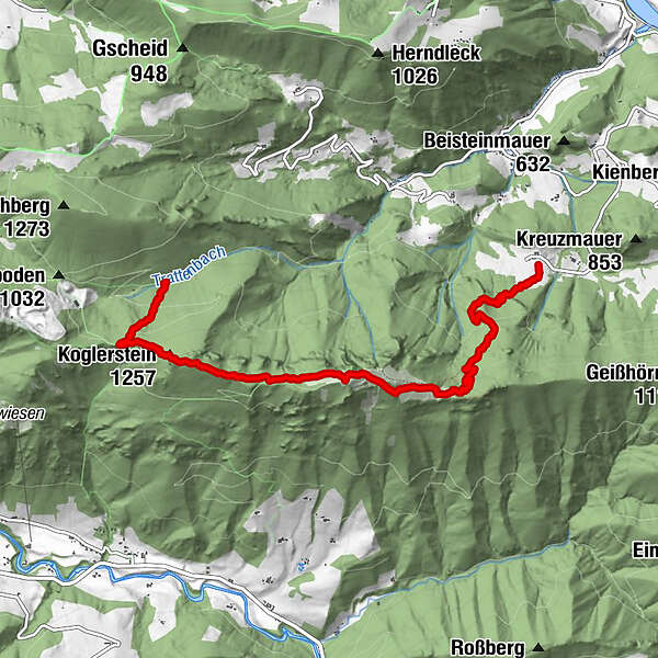
Schoberstein (1,285 m)3.1 kmSchobersteinhaus3.2 kmKoglerstein (1,257 m)4.5 kmMandlmais5.4 kmMandlmais Kapelle5.5 km
- Highest point
- 1,260 m
GPS Downloads


Other tours in the regions