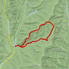
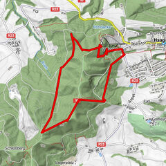
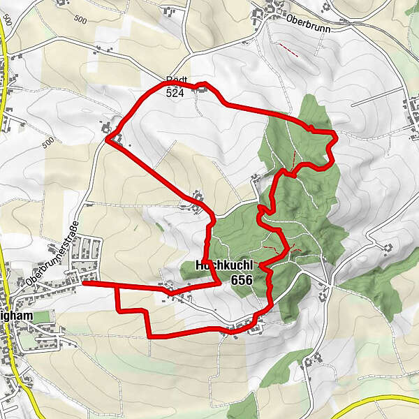
Tour data
7.14km
517
- 652m
240hm
241hm
01:54h
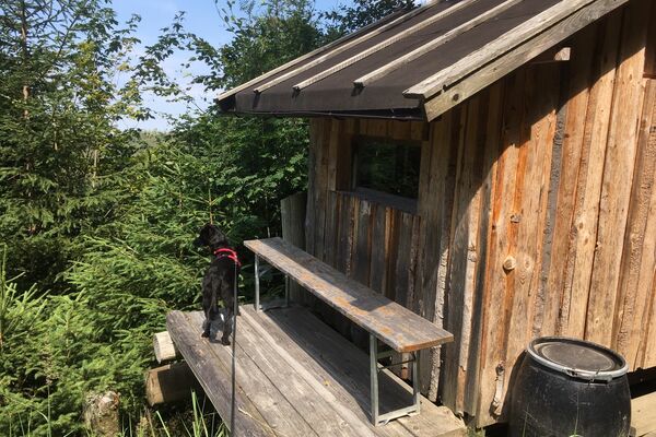
- Brief description
-
Abwechslungsreiche Rundwanderung Pattighamer Hochkuchl
- Difficulty
-
easy
- Rating
-
- Starting point
-
Pattigham
- Route
-
Hochkuchl1.0 kmHochkuchl (656 m)1.7 kmDaring2.6 kmAtzing5.2 kmZeilach6.5 km
- Best season
-
JanFebMarAprMayJunJulAugSepOctNovDec
- Highest point
- 652 m
GPS Downloads


Trail conditions
Asphalt
(15)
Gravel
(20)
Meadow
(15)
Forest
(50)
Rock
Exposed
Other tours in the regions
-
Innviertel
797
-
s'Innviertel
341
-
Pramet
120