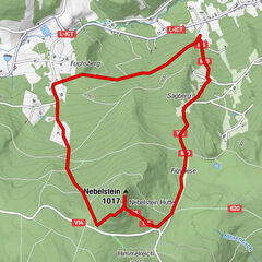
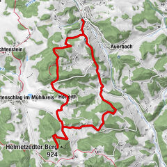
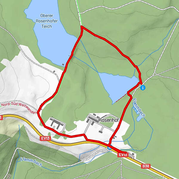
Tour data
3km
926
- 950m
27hm
24hm
00:30h
- Brief description
-
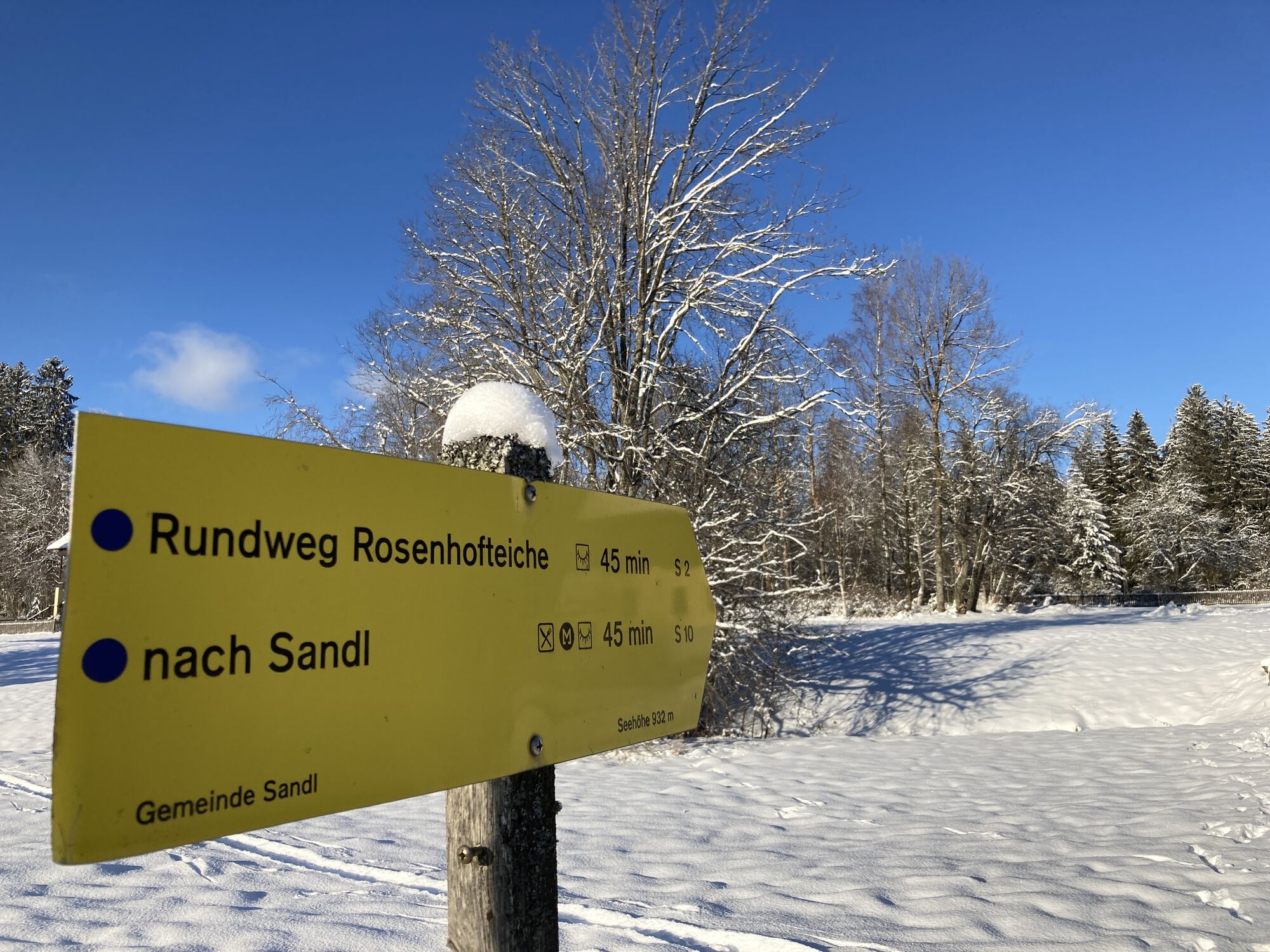
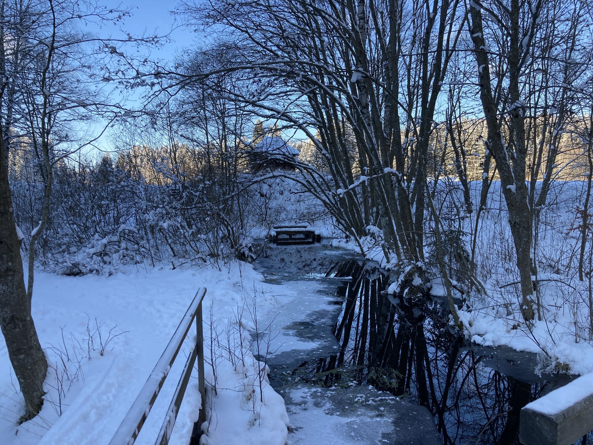
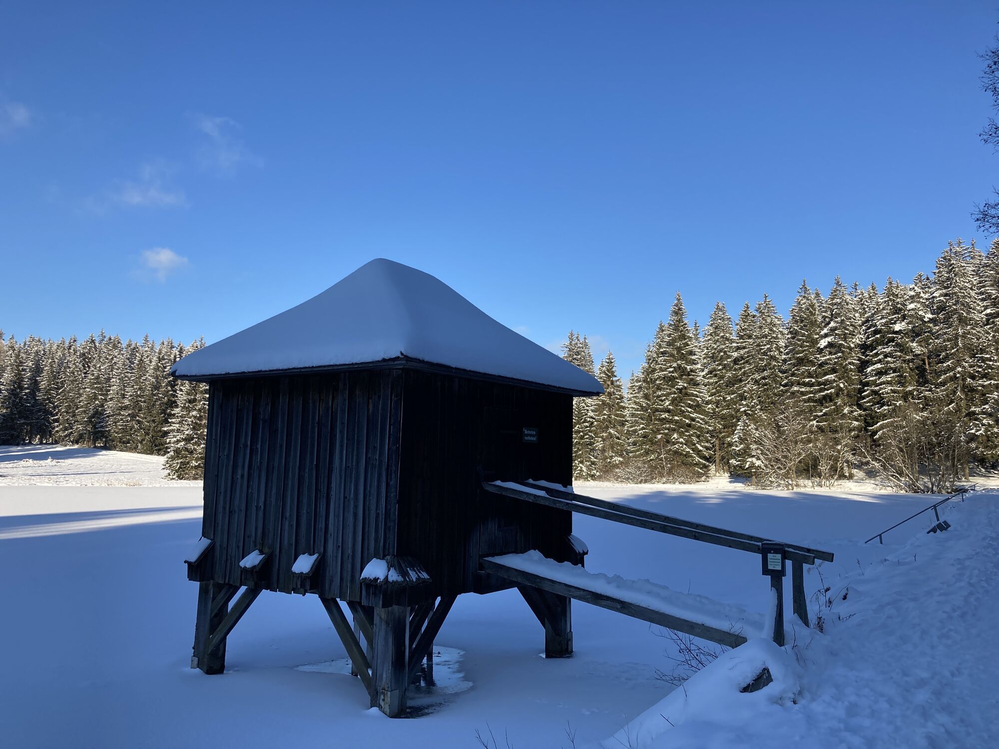
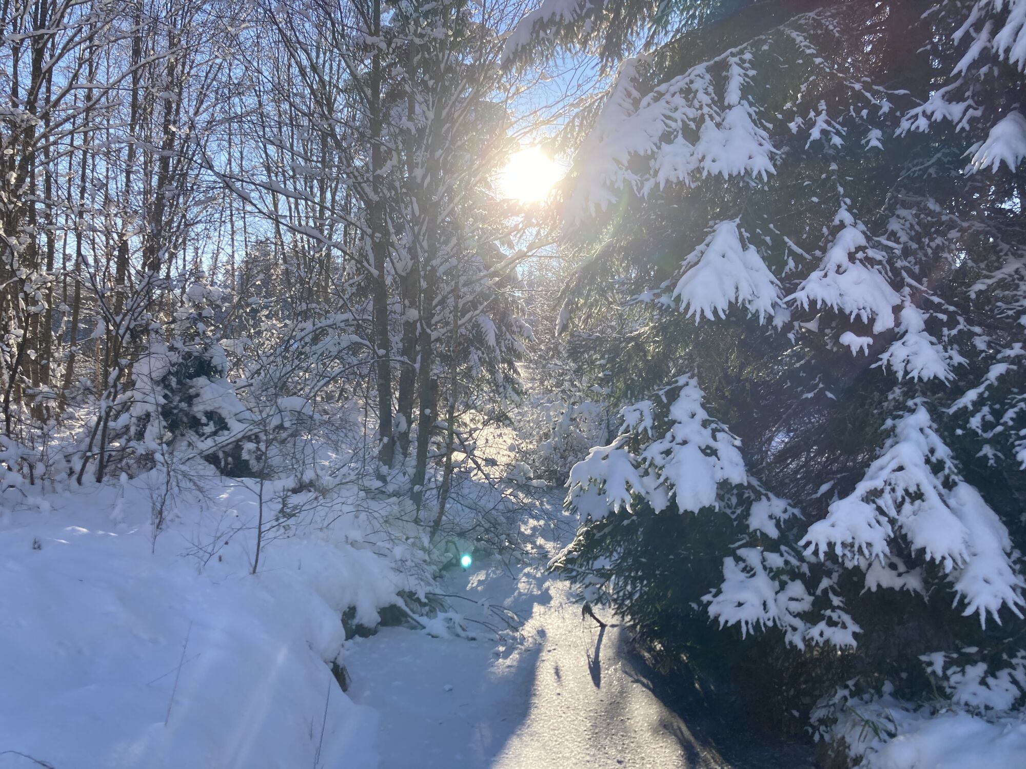
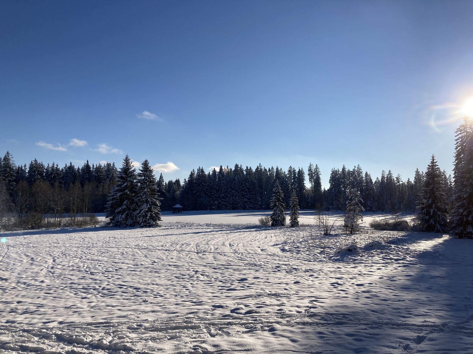
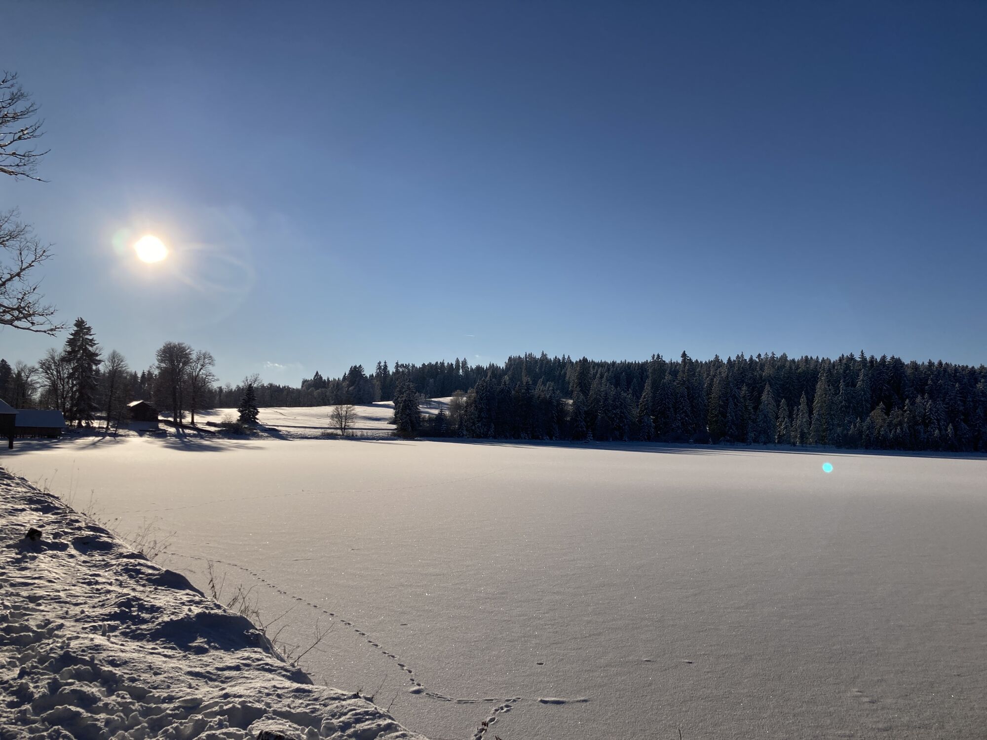
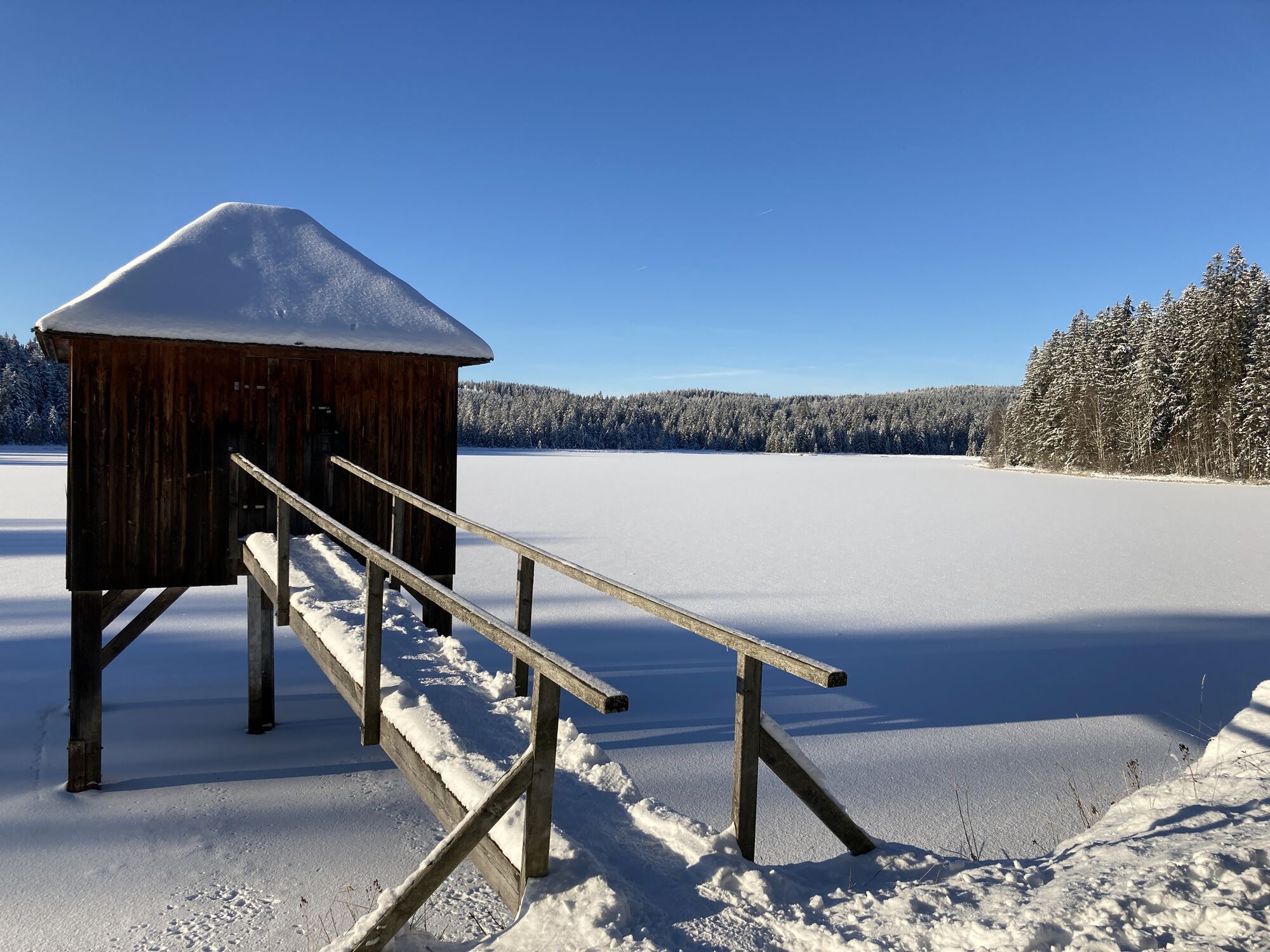
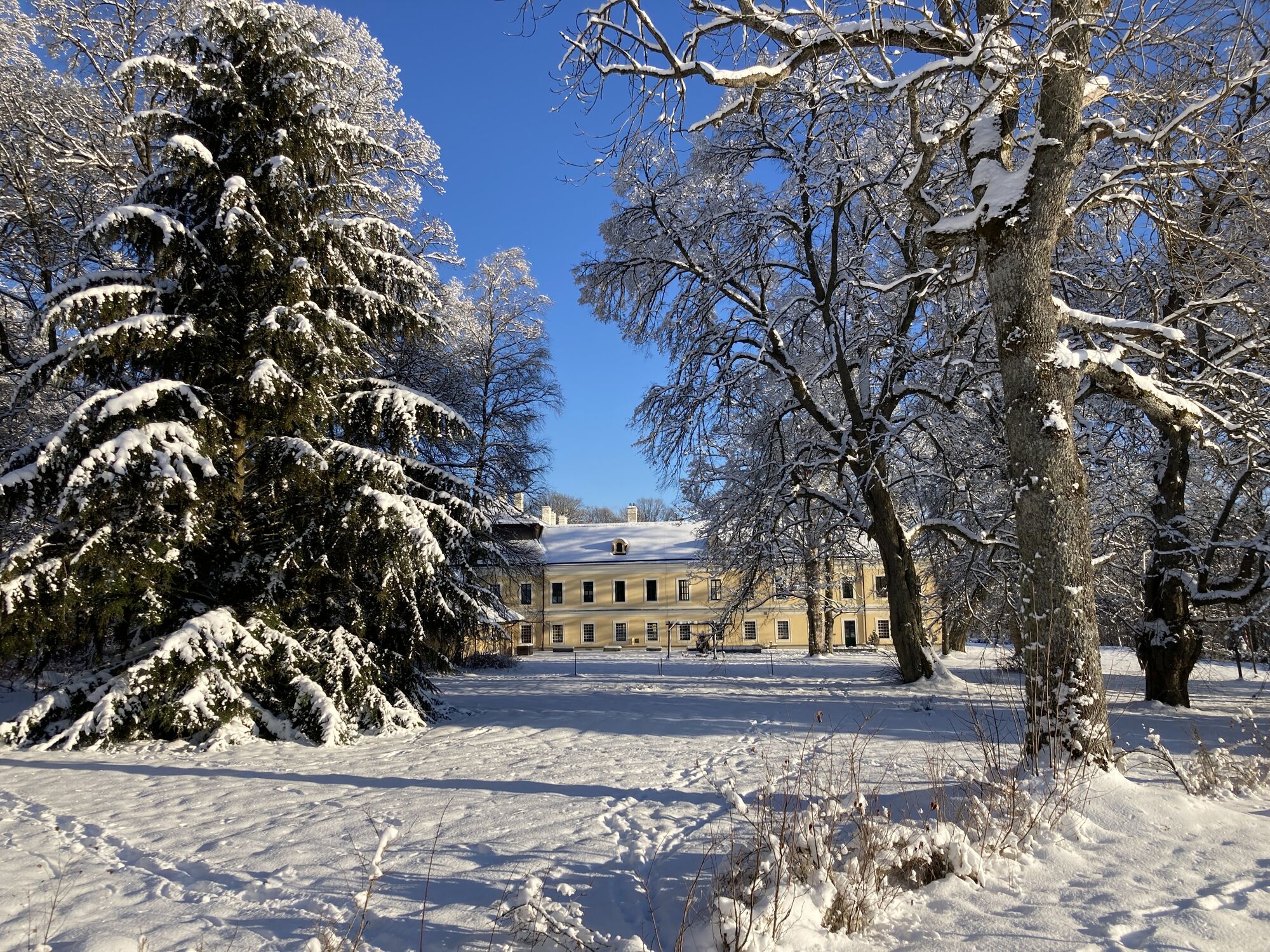
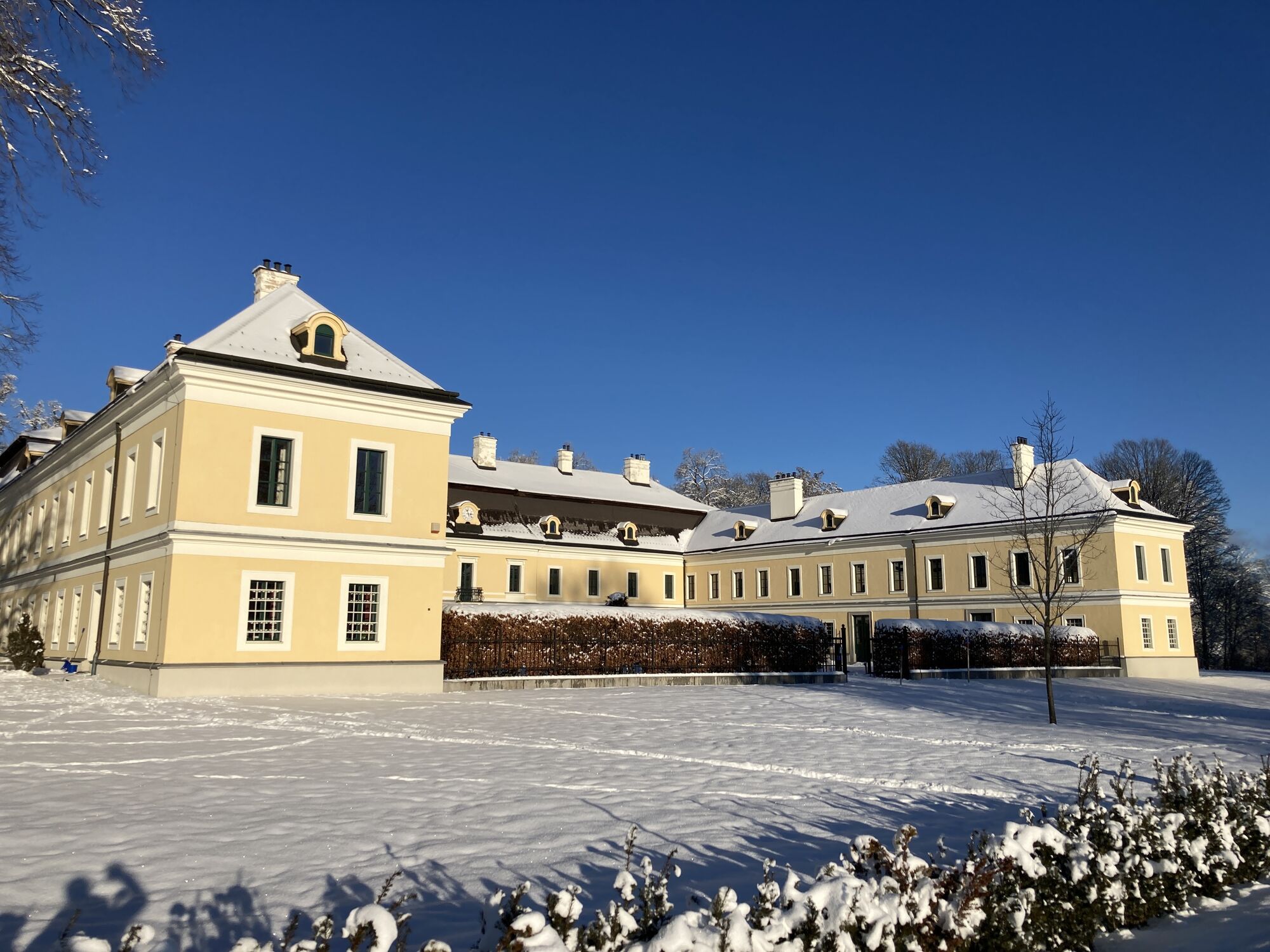
Sandl - S2 - Rosenhof Rundweg
- Difficulty
-
easy
- Rating
-
- Starting point
-
Parkplatz Rosenhofer Teiche
- Best season
-
JanFebMarAprMayJunJulAugSepOctNovDec
- Highest point
- 950 m
- Endpoint
-
Parkplatz Rosenhofer Teiche
- Source
- yamfs
GPS Downloads


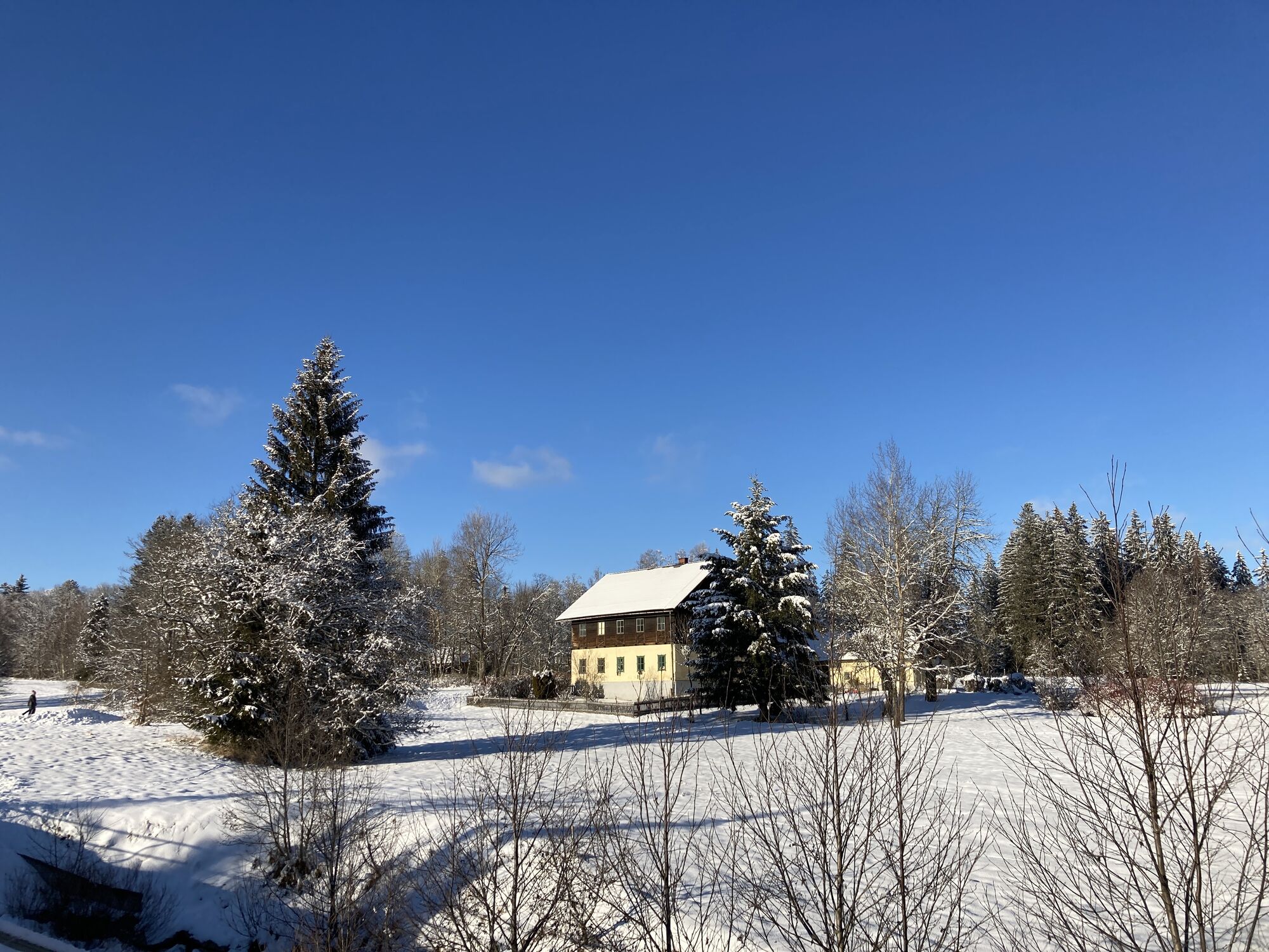
Trail conditions
Asphalt
Gravel
Meadow
Forest
Rock
Exposed
Other tours in the regions
-
Mühlviertel
1782
-
Mühlviertler Alm Freistadt
1067
-
Sandl / Viehberg
232