


- Brief description
-
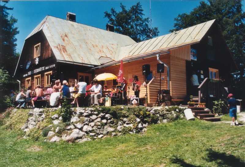
Summit and hut tour on the Alpine Club Trail 467 to the Hohe Dirn and the Anton Schosser Hütte
- Difficulty
-
medium
- Rating
-
- Starting point
-
Losenstein/railway station
- Route
-
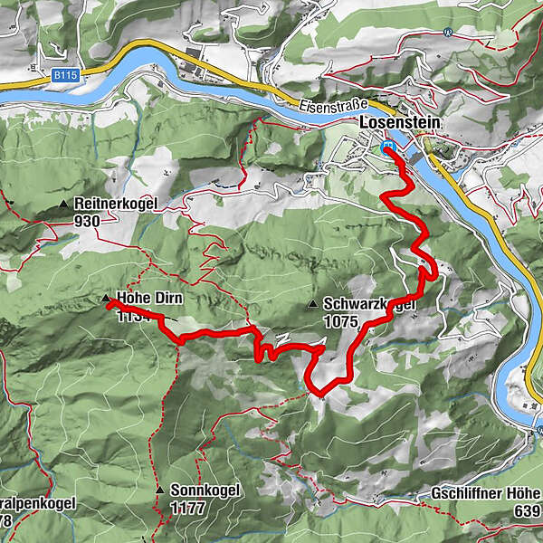
Losenstein0.0 kmHohe Dirn (1,134 m)7.4 km
- Best season
-
JanFebMarAprMayJunJulAugSepOctNovDec
- Description
-
The ascent to the Hohe Dirn on the "old trail" is also part of the Alpine Club Trail 467 and leads around the Schönstein to the Hamberg farm and to the summit.
Trail number: HD 4
- Directions
-
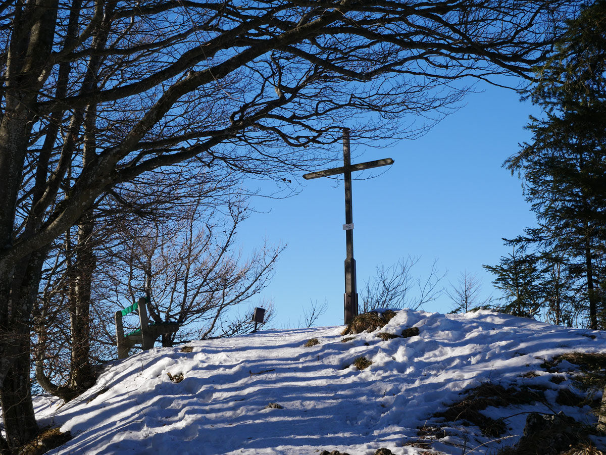
Starting from Losenstein on the Alpine Club Trail, this hike leads around the Schönstein, past the Buder and the Brunner Cross. At the Hamberg farmhouse continue over the Luagstadl up to the Hohe Dirn and to the Anton Schosser Hütte.
- Highest point
- 1,156 m
- Endpoint
-
Losenstein/railway station
- Height profile
-

- Tips
-
Climate-friendly to the National Park Region - railway station Losenstein: By train you can reach the starting point for this hike in about 1 hour from Linz and in about 3 hours from Vienna.
- Directions
-
From Salzburg/Linz: A1 motorway exit Enns-Steyr > B115 into the Enns Valley
From Vienna: A1 motorway exit Haag > B42 > B122 > B115 into the Enns Valley
From Passau: A8 Passau > Wels > A1 motorway exit Enns-Steyr > B115 into the Enns Valley
From Graz: A9 Pyhrnautobahn > motorway exit Klaus > Grünburg > into the Ennstal Valley
- Public transportation
-
The Ennstalbahn runs between Linz and Weißenbach-St. Gallen.
Details at www.ooevv.at
Railway Stations are located in Steyr, Garsten, Lahrndorf, Dürnbach, Ternberg, Trattenbach, Losenstein, Reichraming, Großraming, Gaflenz, Weyer, Küpfern, Kastenreith, Kleinreifling and Weißenbach-St. Gallen.
- Parking
-
Losenstein/parking at the railway station
- Author
-
The tour Anton Schosser Hütte via Losenstein-Buder is used by outdooractive.com provided.


General info
-
Traunviertel
1940
-
Steyr und die Nationalpark Region
1371
-
Losenstein
397


