- Brief description
-
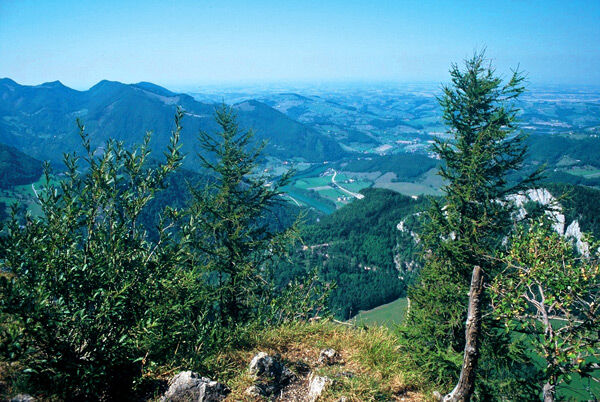
Beautiful round from the more unusual side to the Hohe Dirn (1.1.34m) and across the alpine floor.
- Difficulty
-
medium
- Rating
-
- Starting point
-
Losenstein/farmhous Hintstein
- Route
-
Hohe Dirn (1,134 m)1.7 km
- Best season
-
JanFebMarAprMayJunJulAugSepOctNovDec
- Description
-
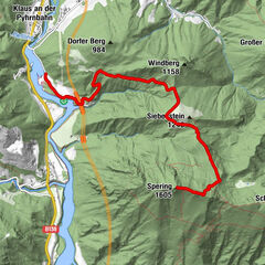
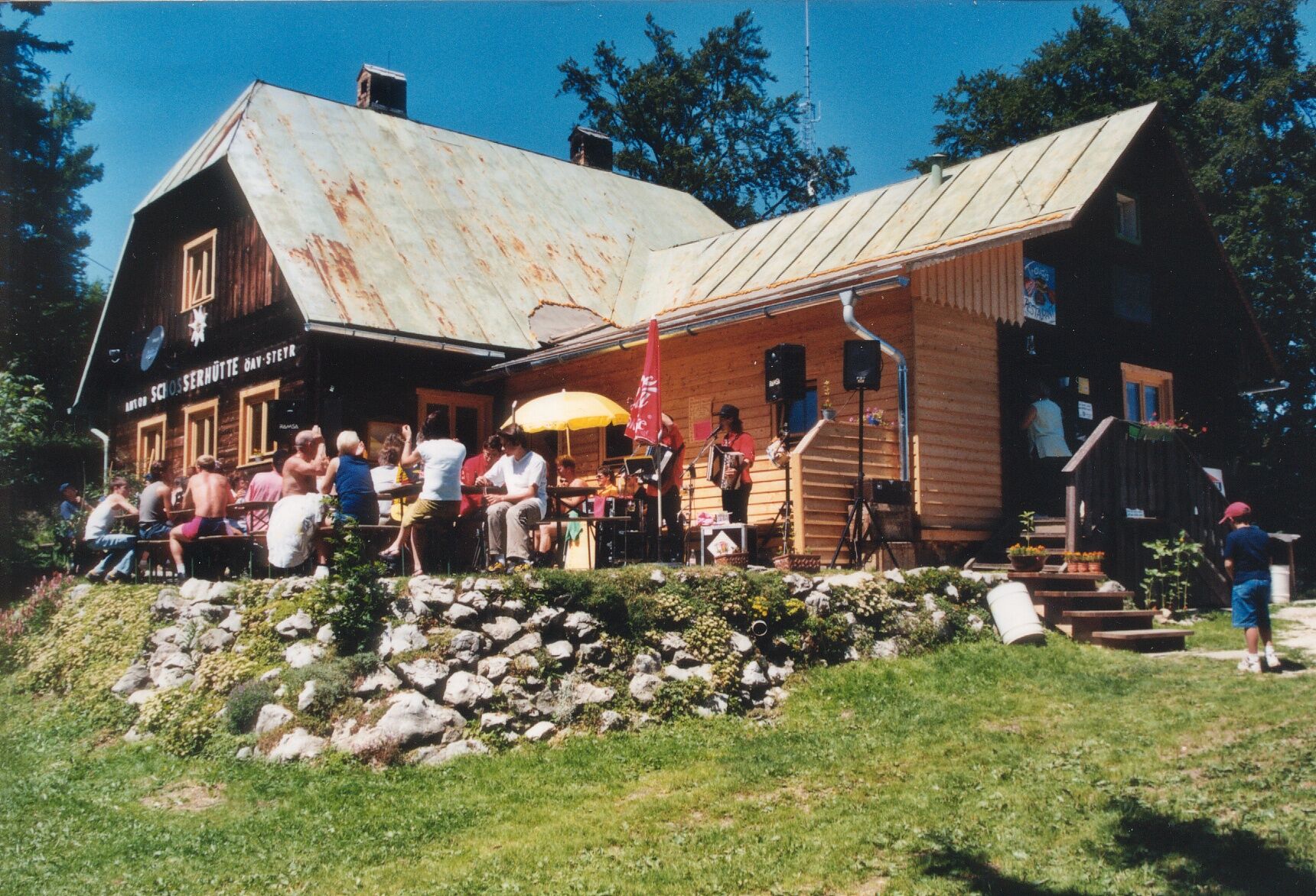
The trail leads from the farm Hintstein partly quite steeply to the summit of the Hohe Dirn (1,134m) and further to the Anton Schosser hut. Return via the Luagstadl to the starting point.
Trail number: RW 12
- Directions
-
To get to the parking lot at the Hintsteiner farm, take the Dirnstraße and the Hintsteingraben. The hiking trail leads from the Hintstein farm partly quite steeply to the summit of the Hohe Dirn (1,134m) and further to the Anton Schosser hut. Return to the starting point via the Luagstadl.
- Highest point
- 1,155 m
- Endpoint
-
Losenstein/farmhouse Hintstein
- Height profile
-

- Directions
-
From Salzburg/Linz: A1 motorway exit Enns-Steyr > B115 into the Enns Valley
From Vienna: A1 motorway exit Haag > B42 > B122 > B115 into the Enns Valley
From Passau: A8 Passau > Wels > A1 motorway exit Enns-Steyr > B115 into the Enns Valley
From Graz: A9 Pyhrnautobahn > motorway exit Klaus > Grünburg > into the Ennstal Valley
- Public transportation
-
The Ennstalbahn runs between Linz and Weißenbach-St. Gallen.
Details at www.ooevv.at
Railway Stations are located in Steyr, Garsten, Lahrndorf, Dürnbach, Ternberg, Trattenbach, Losenstein, Reichraming, Großraming, Gaflenz, Weyer, Küpfern, Kastenreith, Kleinreifling and Weißenbach-St. Gallen.
- Parking
-
Losenstein/parking at farmhouse Hintsteiner

- Author
-
The tour Circular Trail Hintstein is used by outdooractive.com provided.


General info
-
Traunviertel
1940
-
Steyr und die Nationalpark Region
1371
-
Losenstein
397