
- Brief description
-
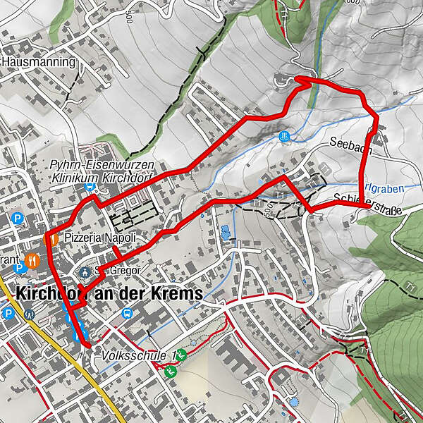
Kirchdorf mountain path
- Difficulty
-
easy
- Rating
-
- Starting point
-
Kirchdorf/center of the city
- Route
-
St. Gregor3.1 kmKirchdorf an der Krems3.1 km
- Best season
-
JanFebMarAprMayJunJulAugSepOctNovDec
- Description
-
The high trail in Kirchdorf leads from the post office via the main square and Redtenbacherplatz, past the provincial hospital through Krankenhausstraße on Theodor-Haas-Straße to the Pfaffenhub farmhouse, downhill to the Laufenbichl estate and over the Calvary back to the center.
Trail number: K3
- Directions
-
The approximately 1 1/4-hour circular walk begins at the post office and leads across the main and Redtenbacherplatz and then right to the provincial hospital. From there it goes up the Theodor-Haas-Straße and continues steeply uphill to the end of the asphalt road to the farmhouse vulgo "Pfaffenhub ".
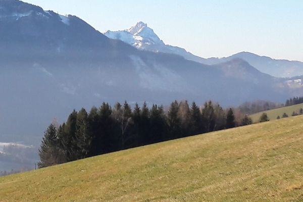
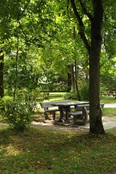
A recommended detour in good weather is the shady panoramic bench at the edge of the forest with a magnificent view over the valley and the mountains opposite. From the beautiful, about 150 years old chapel in front of the farmhouse, our path leads downhill over the bridge to the "Laufenbichl" estate. You walk right between the houses, left downhill along the meadow path until you reach a ditch. To the right along the ditch and to the left over the bridge through the forest you reach the "Kalvarienbergkircherl".
Now descend the steps of the Kreuzweg - with a view of the town and the swimming pool. In good weather you can strengthen yourself in the swimming pool buffet. Further downhill you get back to the center.
- Highest point
- 544 m
- Endpoint
-
Kirchdorf/center of the city
- Height profile
-

- Tips
-
Climate-friendly to the National Park Region - railway station Kirchdorf/Krems: By train you can reach the starting point for this hike in about 1 hour from Linz and in about 2.5 hours from Vienna.
- Directions
-
From Vienna/Salzburg: A1 towards Linz > A9 Pyhrnautobahn - exit Inzersdorf.
From Linz: A9 Pyhrn motorway - exit Inzersdorf
From Graz: A9 Pyhrnautobahn > exit Klaus > federal road B 138
- Public transportation
-
Arrival with the Pyhrnbahn, there are stops in Schlierbach, Kirchdorf/Krems and Micheldorf.
Details at www.ooevv.at
- Parking
-
Kirchdorf/Parking near the center of the city
- Author
-
The tour Cicular Trail Kalvarienberg is used by outdooractive.com provided.


-
Traunviertel
1940
-
Tourismusregion Bad Hall
770
-
Kirchdorf an der Krems
306