


- Brief description
-
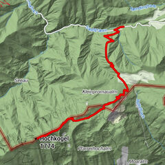
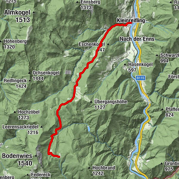
Extensive hike from the village center Kleinreifling to the Schüttbauernalm
- Difficulty
-
difficult
- Rating
-
- Starting point
-
Weyer/Kleinreifling or Viehtaleralm
- Route
-
Pfarrkirche Kleinreifling0.0 kmKleinreifling0.0 kmSchüttbauernalm11.7 km
- Best season
-
JanFebMarAprMayJunJulAugSepOctNovDec
- Description
-
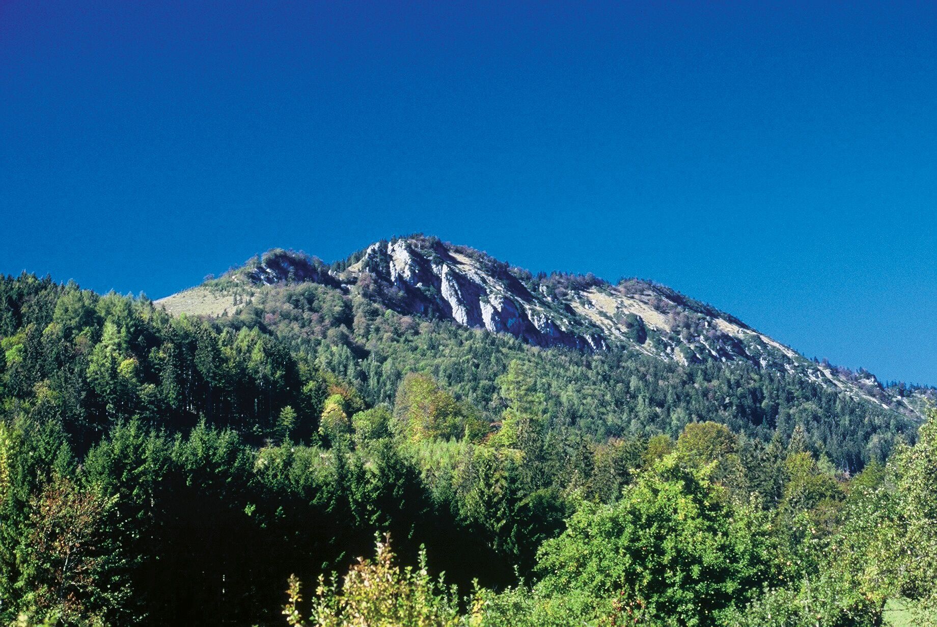
From Kleinreifling the trail leads through the Hammergraben and then on the old alpine path steadily uphill via the Prenklalm (hunting lodge), Sonnrißhütte to the Niglam or Viehtaleralm. Continue over the alpine pastures to the Bärenkogel and on a forest road over the Menaueralm to the Schüttbauernalm.
Trail number: 495
- Directions
-
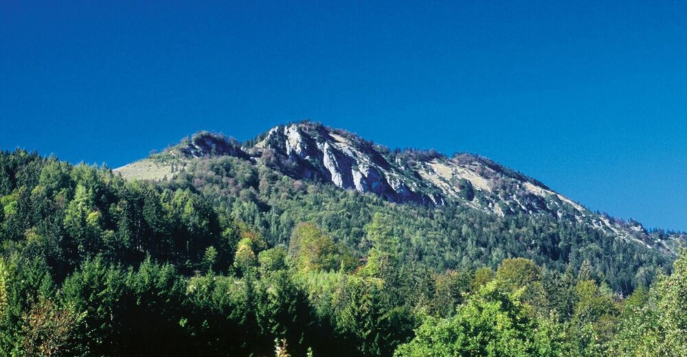
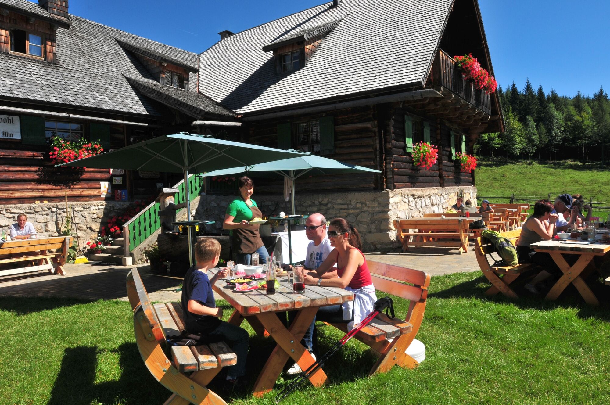
The trail initially leads along the road into Hammergraben, then branches off to the left on the old alpine path steadily uphill through the forest via Prenklalm (hunting lodge) and Sonnrißalm to Niglam or Viehtaleralm. From here, the trail continues across the alpine pasture along the edge of the forest to the Bärenkogel. A comfortable forest road leads to the Menaueralm (hunting lodge) and after a short hike over the hill you reach the Schüttbauernalm (1,070 m) with a magnificent view of the Gesäuse mountains.
Variation:
We recommend arriving by car to the Niglalm/Viehtaleralm and from here walking to the Schüttbauernalm (1.5 hours, 247 hm).
A detour over the Bodenwies (1,540 m) rewards with a magnificent panoramic view over the Kalkalpen National Park to the Tote Gebirge, Haller Mauern, Gesäuse mountains and Ennstaler Alps.
- Highest point
- 1,098 m
- Endpoint
-
Weyer/Unterlaussa - Schüttbauernalm
- Height profile
-

- Tips
-
We recommend the arrival by car to the Niglalm/Viehtaleralm and from here on foot to the Schüttbauernalm (1.5 hours, 247 Hm) or via the Bodenwies (1,540 m) with a magnificent panoramic view over the Kalkalpen National Park to the Tote Gebirge, Haller Mauern, Gesäuse mountains and Ennstaler Alps.
- Directions
-
From Salzburg/Linz: A1 motorway exit Enns-Steyr > B115 into the Enns Valley
From Vienna: A1 motorway exit Haag > B42 > B122 > B115 into the Enns Valley
From Passau: A8 Passau > Wels > A1 motorway exit Enns-Steyr > B115 into the Enns Valley
From Graz: A9 Pyhrnautobahn > motorway exit Klaus > Grünburg > into the Ennstal Valley
- Public transportation
-
The Ennstalbahn runs between Linz and Weißenbach-St. Gallen.
Details at www.ooevv.at
Railway Stations are located in Steyr, Garsten, Lahrndorf, Dürnbach, Ternberg, Trattenbach, Losenstein, Reichraming, Großraming, Gaflenz, Weyer, Küpfern, Kastenreith, Kleinreifling and Weißenbach-St. Gallen.
- Parking
-
Weyer/Kleinreifling Ortszentrum or Weyer/Kleinreifling Viehtaleralm
- Author
-
The tour Schüttbauernalm (via Weyer/Kleinreifling) is used by outdooractive.com provided.