
- Brief description
-
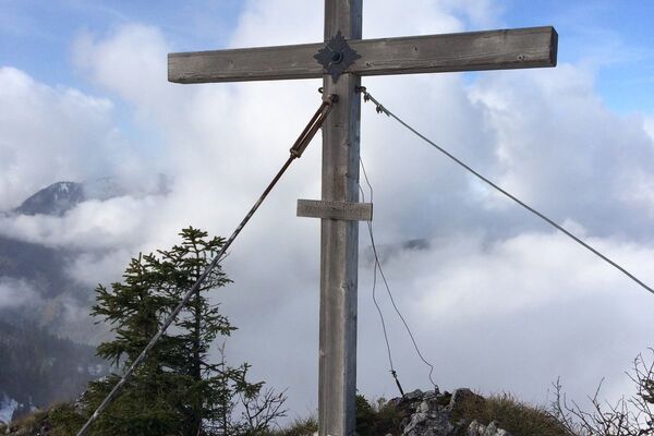
Walk for the whole family
- Difficulty
-
easy
- Rating
-
- Starting point
-
Steinach an der Steyr/center of the village
- Route
-
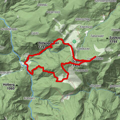
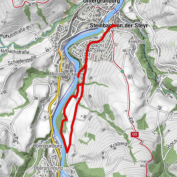
Steinbach an der SteyrKirchenwirt Czerny0.0 kmUntergrünburg0.1 kmUntergrünburg4.8 kmSteinbach an der Steyr4.8 kmKirchenwirt Czerny4.9 km
- Best season
-
JanFebMarAprMayJunJulAugSepOctNovDec
- Description
-
This walk leads from the village square to the Steyr River and through beautiful woodland to the Forstau estate road.
Trail number: No. 12
- Directions
-
From the village square at Nah & Frisch Lebensmittelpunkt, hike along Schulstraße until 50 m before the village end sign. There, keep to the right on trail no. 12 and walk upstream along the Steyr River until you reach a gravel road. On this road the walk leads through beautiful woodland to the Forstau estate road. Follow this to the left back towards the village square of Steinbach.
- Highest point
- 380 m
- Endpoint
-
Steinbach an der Steyr/center of the village
- Height profile
-

- Tips
-
Walkable all year round with normal footwear.
- Directions
-
From the west: A1 exit Sattledt > via Kremsmünster > Bad Hall > Steinbach an der Steyr
From the east: A1 exit Haag > Steyr > B140 into the Steyr valley
From the north: A3 Passau > Wels > A9 exit Sattledt > Kremsmünster > Bad Hall > Steinbach
From the south: A9 exit Klaus > into the Steyr valley
- Public transportation
- Parking
-
Steinbach an der Steyr/parking next to the center of the village

- Author
-
The tour Steyruferweg is used by outdooractive.com provided.


General info
-
Traunviertel
1940
-
Tourismusregion Bad Hall
770
-
Grünburg
359