
- Brief description
-
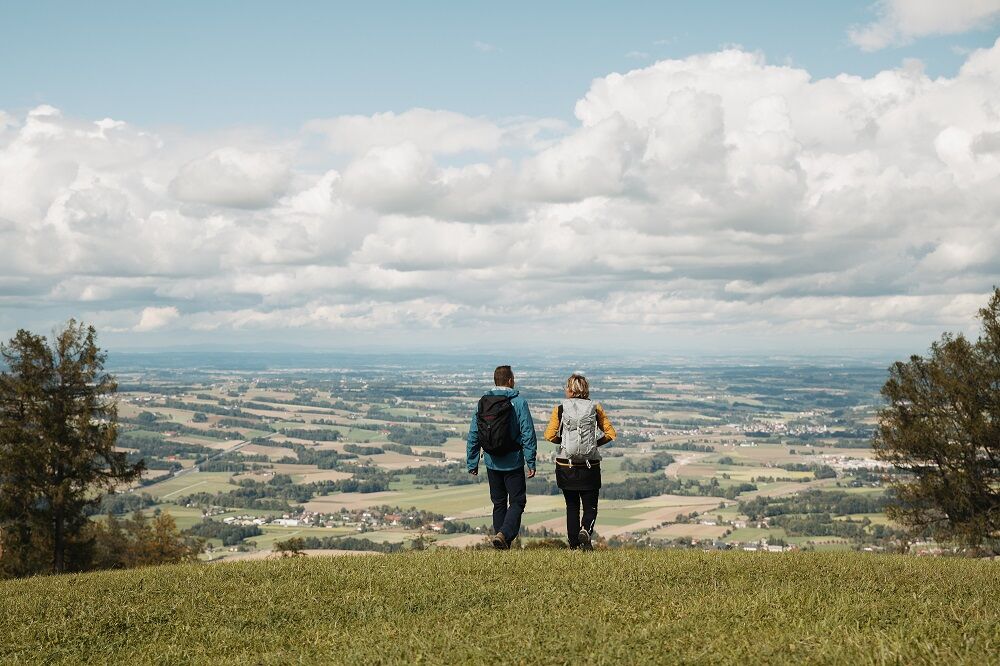
Easy hike in pre-Alpine terrain
- Difficulty
-
medium
- Rating
-
- Starting point
-
Schlierbach/Zisterzienserstift
- Route
-
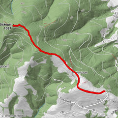
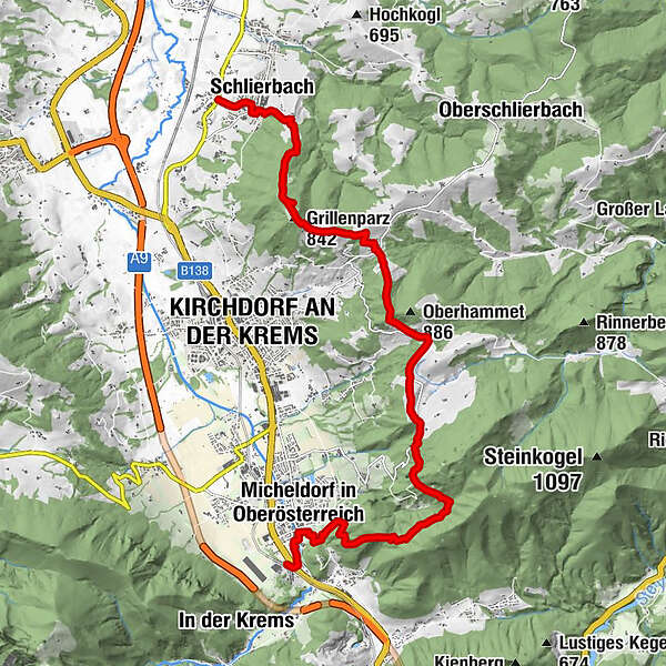
Schlierbach0.6 kmKalvarienbergkapelle1.1 kmGrillenparz (842 m)3.4 kmOberndorf3.9 kmRatscher7.0 kmMicheldorf13.9 km
- Best season
-
JanFebMarAprMayJunJulAugSepOctNovDec
- Description
-
Hiking on a wonderful high trail from the Cistercian Abbey of Schlierbach via Grillenparz to Altpernstein Castle
Trail number: 15, K85
- Directions
-
A hill that is recommended as a destination for excursions all year round: the Grillenparz, from which a wonderful high trail leads south to Altpernstein Castle.
We start with a cultural bang: the Cistercian Abbey of Schlierbach, founded in 1355 and completely rebuilt in 1672, is one of the most beautiful sacred buildings in the country. Here, baroque playfulness harmonises with modern art - the monastery has its own stained glass.
The cheese dairy, where among other things the aromatic Schlierbacher is produced, proves that the monks also knew their way around the culinary world.
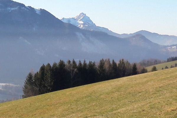
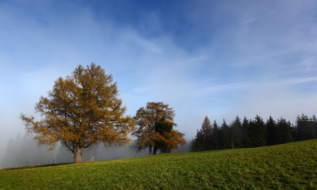
We walk through the archway of the monastery to the hamlet of Haslach and southwards on forest path no. 15. Cross a road, then turn right and pass an old farmstead with a chapel. On the hilltop of Grillenparz, soon reached, you are greeted not only by larch ornaments dishevelled by wind and weather, but also a panoramic view as far as the mountains in the south.
Descend a few steps to the Poidl homestead in Oberndorf, along the goods road to the village and into the saddle with the Habinger cross. Here the road from Kirchdorf to Oberschlierbach crosses. We turn south again, enjoy the Traunstein view on the following ridge and finally reach the Ratscher inn in the next saddle.
hose who are already tired descend here to the right on trail no. 18 to Kirchdorf. Those who still have lard in their calves, however, hike - partly on the road - up to the Riegler farm, down to a crossroads (fire station) and in a final climb to Altpernstein Castle.
A cart track - still with the marking number 15 - leads from there into a forest valley below the Hirschwaldstein. After the subsequent stretch of forest road, cross the prelate's path (no. 23), which descends to the right through the steep forest slope into the saddle in front of the Georgenberg near Micheldorf. The short detour to the baroque mountain church is very worthwhile - there you are rewarded once again with a magnificent view of the Kremsmauer.
- Highest point
- 849 m
- Endpoint
-
Burg Altpernstein
- Height profile
-

- Tips
-
Climate-friendly to the National Park Region - railway station Schlierbach or Micheldorf: By train you can reach the starting point for this hike in about 1 hour from Linz and in about 2.5 hours from Vienna
- Directions
-
From Vienna/Salzburg: A1 towards Linz > A9 Pyhrnautobahn - exit Inzersdorf.
From Linz: A9 Pyhrn motorway - exit Inzersdorf
From Graz: A9 Pyhrnautobahn > exit Klaus > federal road B 138
- Public transportation
-
Arrival with the Pyhrnbahn, there are stops in Schlierbach, Kirchdorf/Krems and Micheldorf.
Details at www.ooevv.at
- Parking
-
Schlierbach - parking in the center
Micheldorf - parking in the center
- Author
-
The tour Grillenparz - Burg Altpernstein is used by outdooractive.com provided.


General info
-
Traunviertel
1940
-
Tourismusregion Bad Hall
770
-
Kirchdorf an der Krems
306