Naturparkweg Rechberg

Logo Naturparkweg Rechberg
Tour data
7.87km
560 - 703m
Distance
282hm
271hm
Ascent
01:40h
 
Duration
Brief description

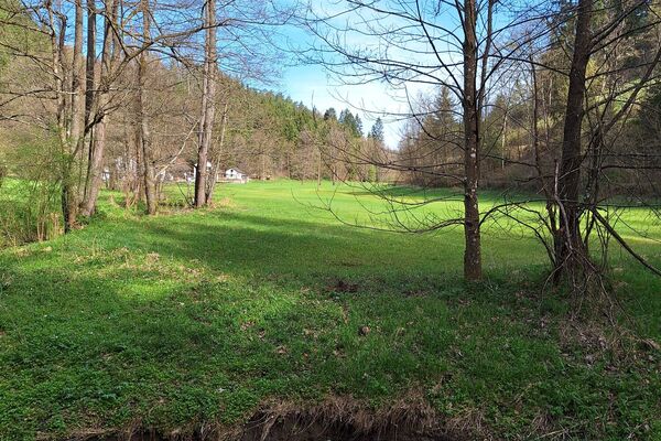
Abwechslungsreicher Rundweg in Rechberg mit tollen Aussichten ins Mühlviertel und Alpenvorland

Difficulty
easy
Rating
Technique
Fitness
Landscape
Experience
Route
Gasthof Haunschmid
0.1 km
Dorfwirt
0.2 km
Pfarrkirche Rechberg
0.2 km
Rechberg
0.3 km
Schwammerling
1.6 km
Fuchsmauern
2.7 km
Plenkerberg (706 m)
6.4 km
Rechberg
7.6 km
Gasthof Haunschmid
7.8 km

Best season
Jan
Feb
Mar
Apr
May
Jun
Jul
Aug
Sep
Oct
Nov
Dec
Highest point
703 m

Overall rating

5

0

%

4

0

%

3

0

%

2

0

%

1

0

%

Error
An error has occurred. Please try again.
Thank you for your review

Rating has been deleted

GPS Downloads
  • GPX GPS Exchange Format (XML)
  • KML Google Earth, Google Maps
QR Download Codes for Mobile Phones
Other tours in the regions

Popular tours in the area

Wolfsschlucht Gorge

medium Hiking
4.47km | 160hm | 01:25h

Kettenbachwanderung

easy
10.4km | 213hm | 02:15h

Stoakraftweg

medium Hiking
48.33km | 1395hm | 15:18h

Schwertberg: Weltstoarunde

easy Hiking
11.38km | 304hm | 03:30h