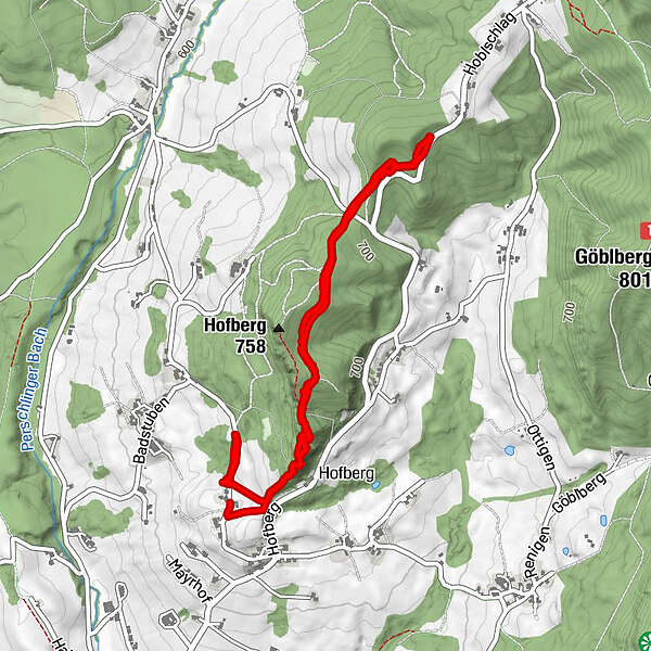
Tour data
4.88km
625
- 752m
171hm
191hm
01:18h
- Brief description
-
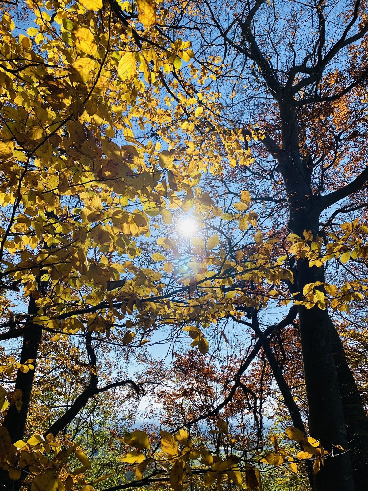
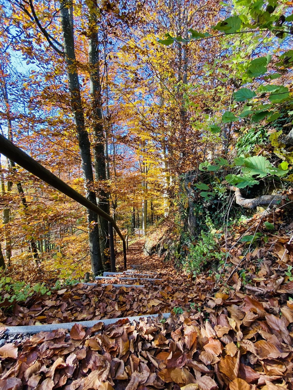
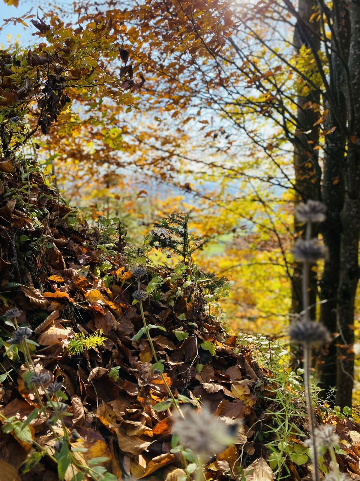
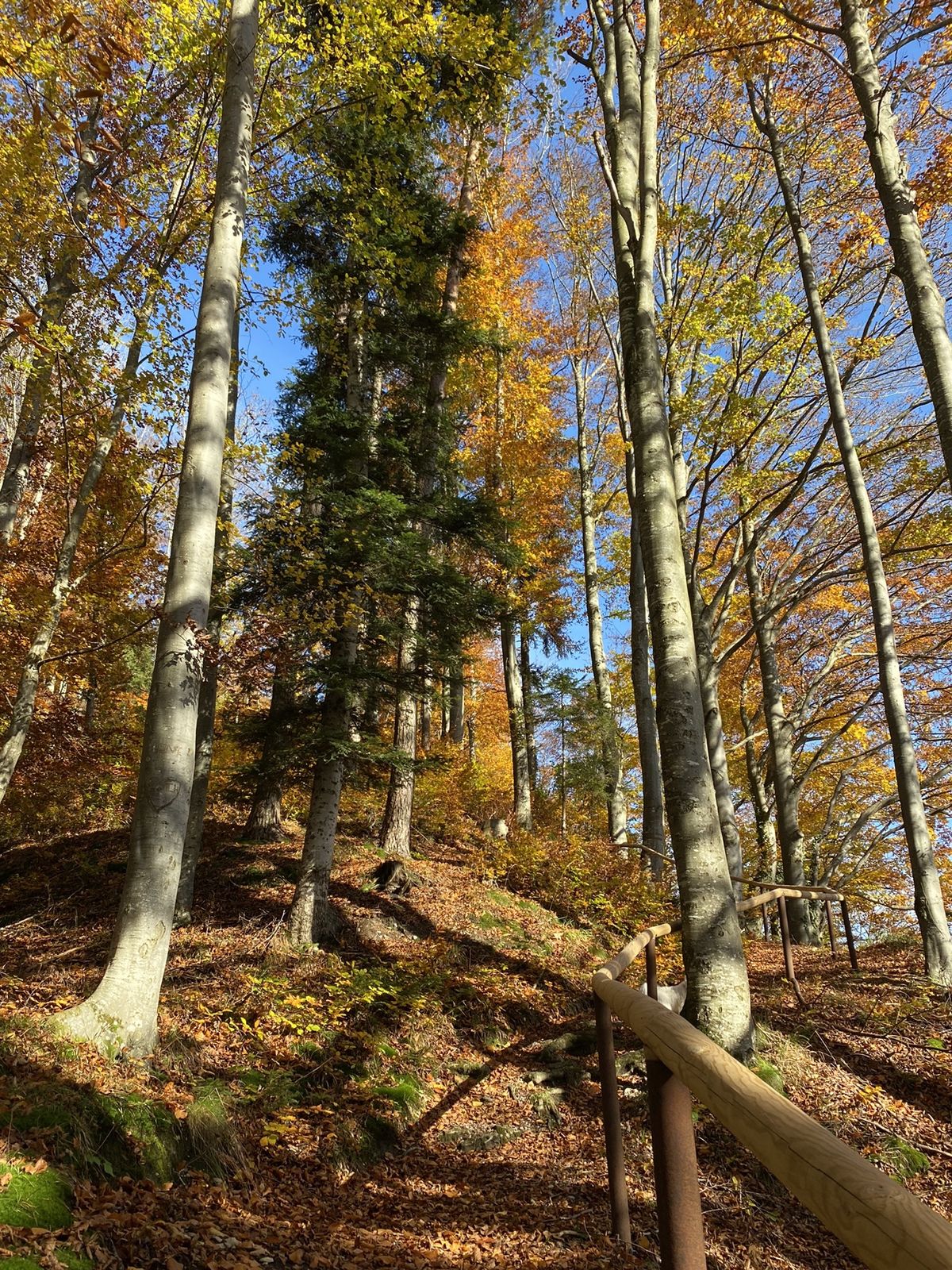
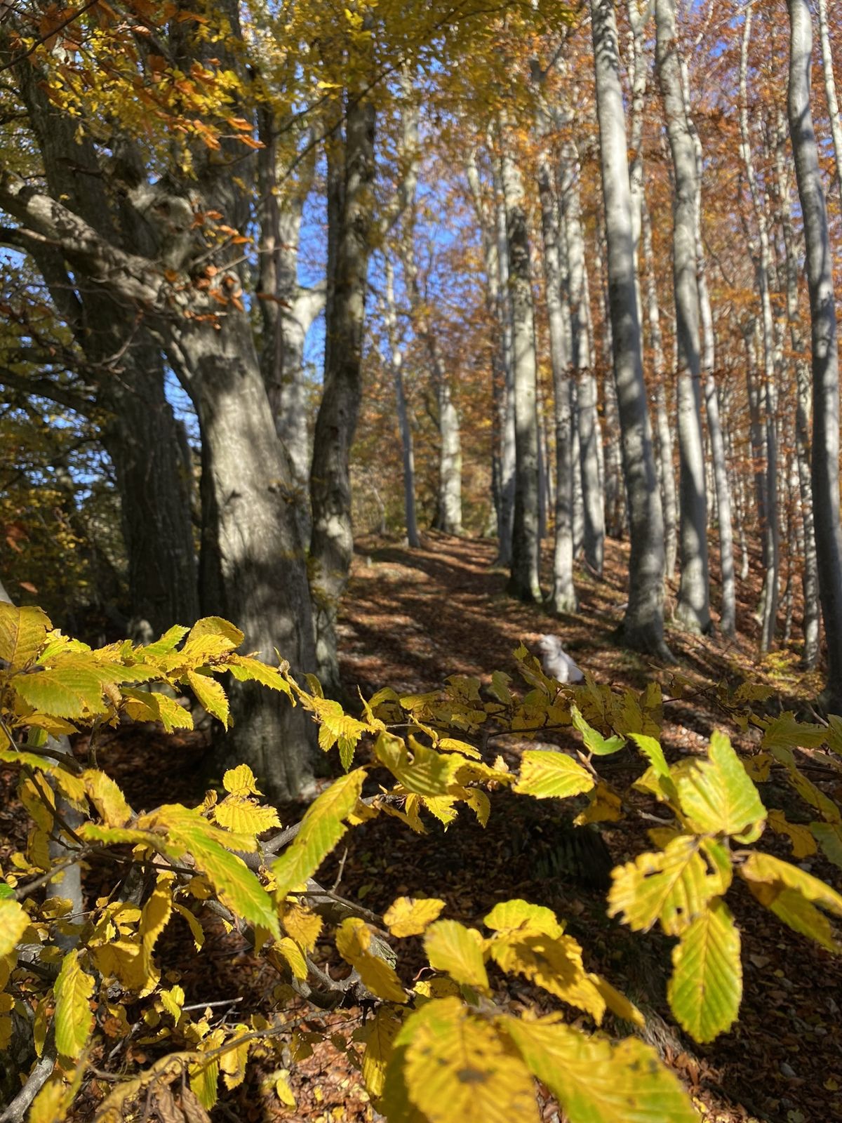
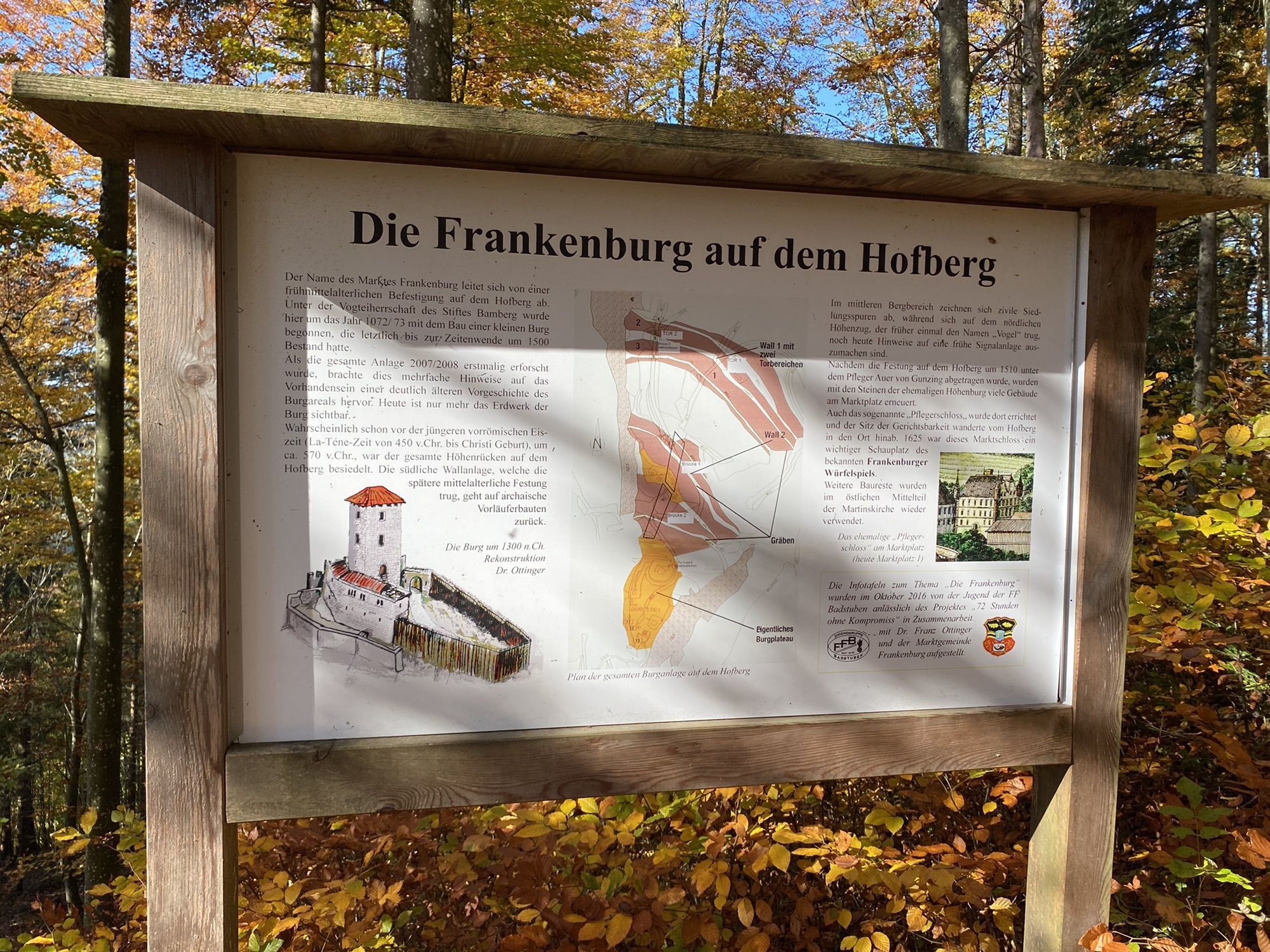
Von hofberg auf n hoblschlag
- Difficulty
-
easy
- Rating
-
- Route
-
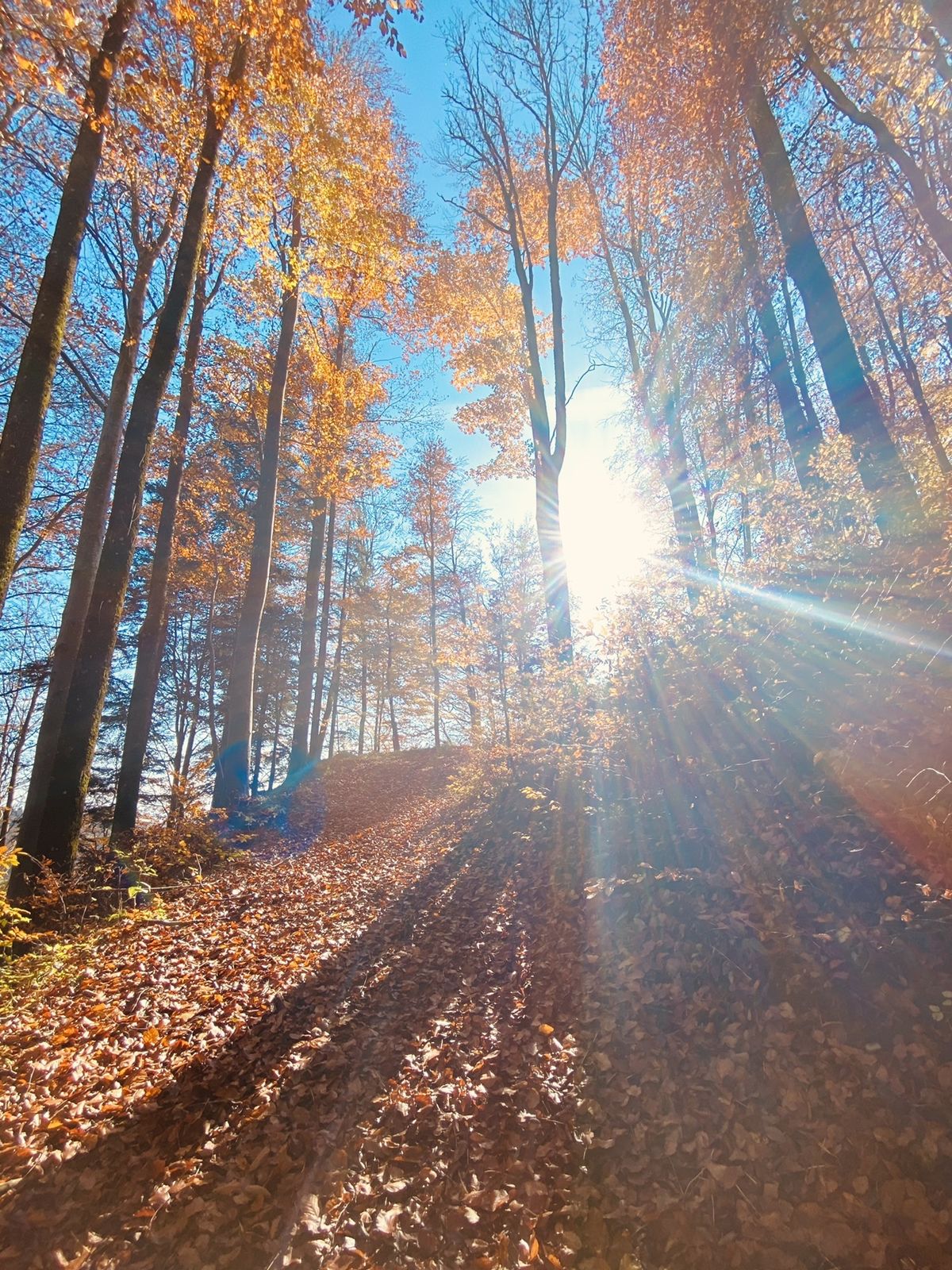
Fischeredt0.0 kmHofberg0.2 kmHofberg (758 m)0.4 kmHofberg (758 m)3.9 kmFischeredt4.8 km
- Highest point
- 752 m

GPS Downloads


Other tours in the regions
-
Innviertel
797
-
s'Innviertel
341
-
Frankenburg am Hausruck
129