
Tour data
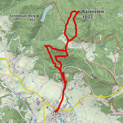
5.66km
279
- 582m
311hm
312hm
01:45h
- Brief description
-
Mountain up and down
- Difficulty
-
easy
- Rating
-
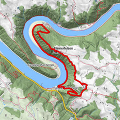
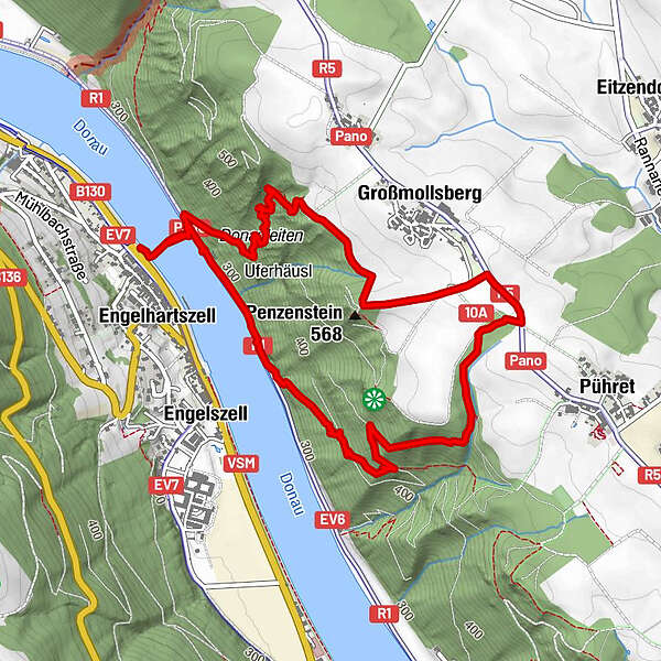
- Route
-
Penzenstein (550 m)1.8 kmEngelszell4.6 kmEngelhartszell5.6 km
- Best season
-
JanFebMarAprMayJunJulAugSepOctNovDec
- Highest point
- 582 m


GPS Downloads


Other tours in the regions