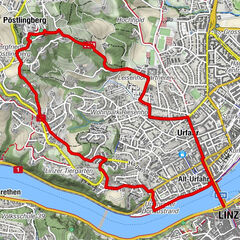
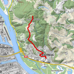
Pfenningberg Runde

Logo Pfenningberg Runde
Tour data
5.13km
348 - 610m
Distance
263hm
269hm
Ascent
01:27h
 
Duration
Brief description

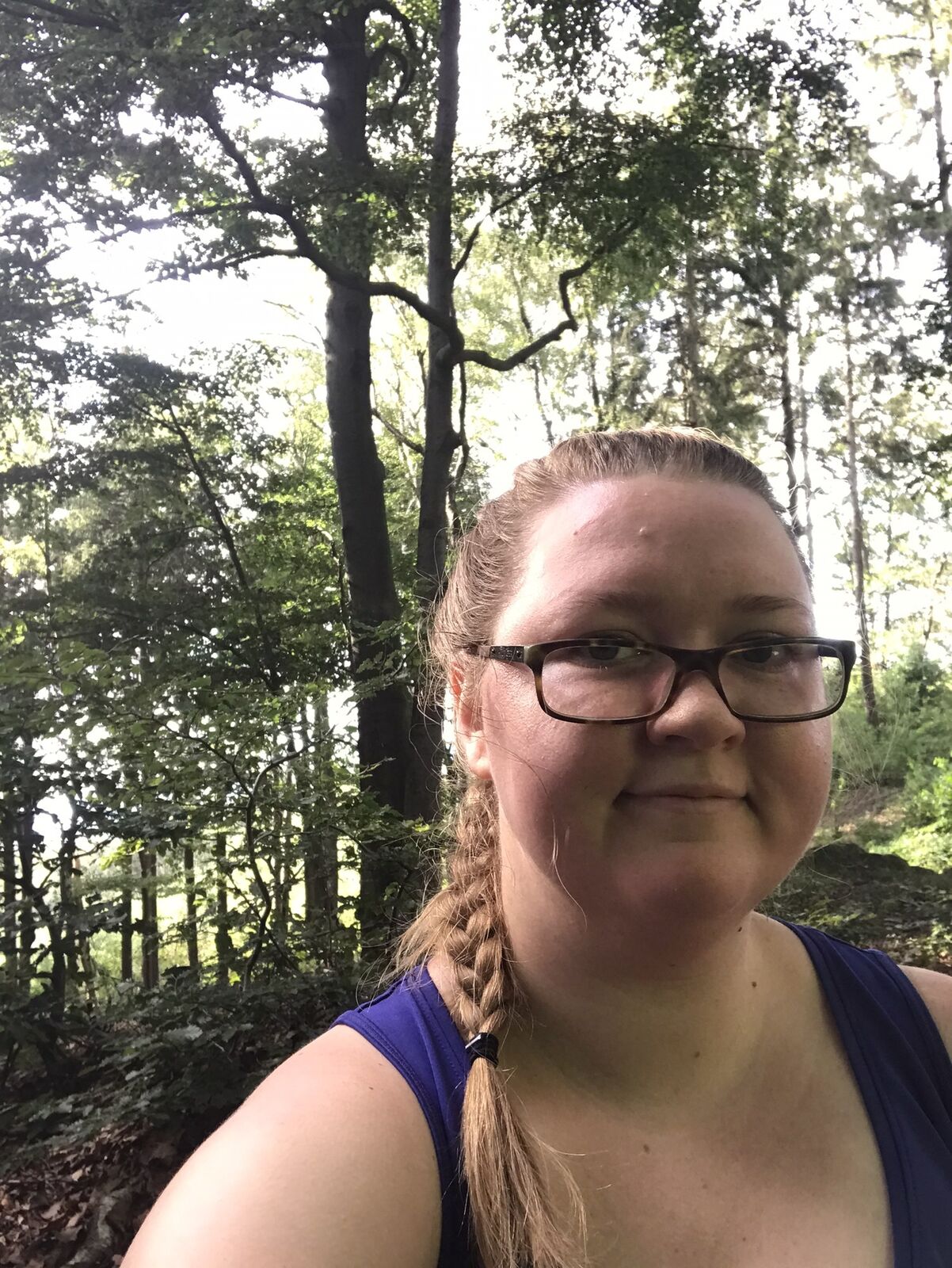
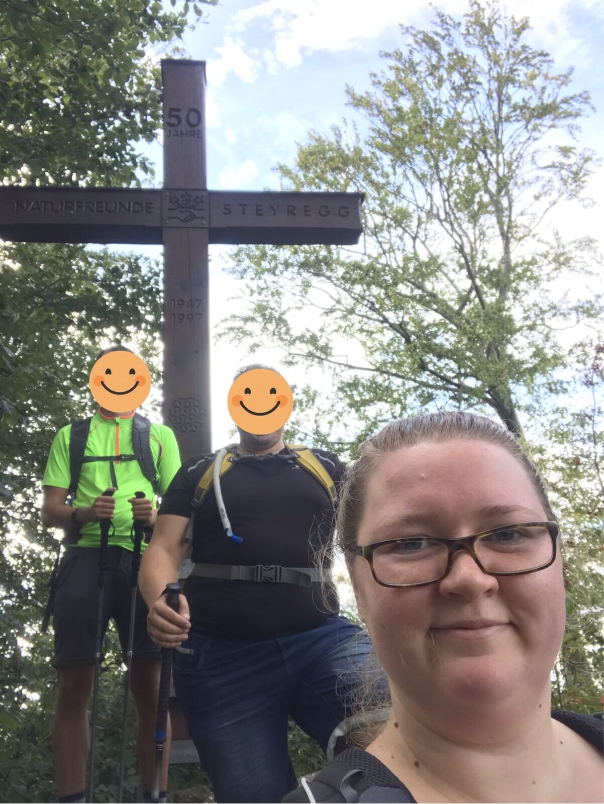
Gemütliche Runde. Geht man nach der Beschilderung, sind nicht ganz 2/3 des Weges Straße. Es gibt aber auch super Wanderwege im Wald, die auch für Einsteiger sehr gut geeignet sind.

Difficulty
easy
Rating
Technique
Fitness
Landscape
Experience
Route

Highest point
610 m

Overall rating

5

0

%

4

0

%

3

0

%

2

0

%

1

0

%

Error
An error has occurred. Please try again.
Thank you for your review

Rating has been deleted

GPS Downloads
  • GPX GPS Exchange Format (XML)
  • KML Google Earth, Google Maps
QR Download Codes for Mobile Phones
Other tours in the regions

Popular tours in the area

Unterweitersdorfer Sagenweg

easy Hiking
5.87km | 161hm | 01:40h

Gramastetten: 3 Bäche - 4 Berge-Tour

Hiking
15.42km | 458hm | 04:50h

Linz: Pöstlingberg Town Hiking Trail

medium Hiking
7.71km | 241hm | 02:50h

Steyregg Pfenningberg-Gipfelwanderweg

medium Hiking
4km | 316hm | 01:30h