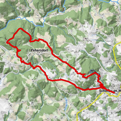
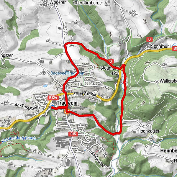
Tour data
4.47km
397
- 504m
101hm
01:15h
- Difficulty
-
easy
- Rating
-
- Starting point
-
Quellparkplatz (Grünhilde) oder Marktplatz
- Route
-
Pfarrkirche hl. Peter und Paul0.2 kmPizzeria Bella Casa4.2 kmTragwein (491 m)4.3 km
- Best season
-
JanFebMarAprMayJunJulAugSepOctNovDec
- Highest point
- 504 m
- Endpoint
-
Quellparkplatz (Grünhilde) oder Marktplatz
- Rest/Retreat
-
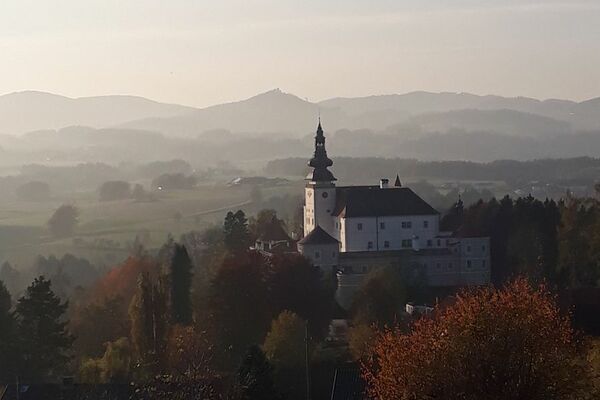
Tragwein
- Ticket material
-
Wanderkarte Tragwein
GPS Downloads


Trail conditions
Asphalt
Gravel
Meadow
Forest
Rock
Exposed
Other tours in the regions
-
Mühlviertel
1781
-
Mühlviertler Alm Freistadt
1067
-
Tragwein
262