Ghf Hoisn- Rund um Traunstein mit Miesweg

Logo Ghf Hoisn- Rund um Traunstein mit Miesweg
Tour data
13.63km
423 - 1,106m
Distance
742hm
744hm
Ascent
02:56h
 
Duration
Brief description

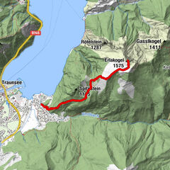
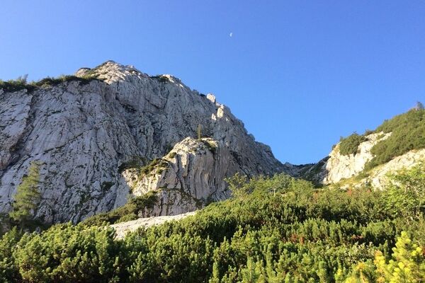
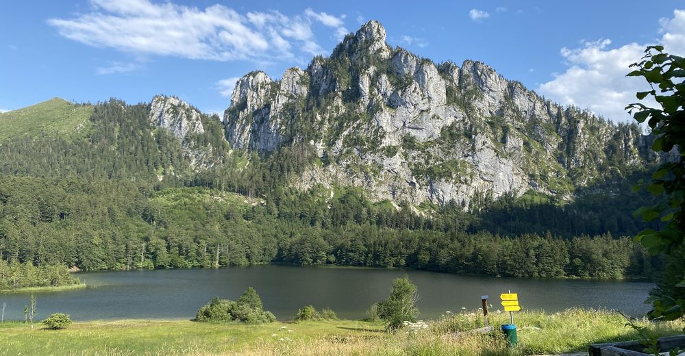
Hoisn-Laudachsee-Hohe Scharte-Mair Alm- Miesweg

Difficulty
medium
Rating
Technique
Fitness
Landscape
Experience
Route
Hois´n Wirt
0.1 km
Dürrenberg (687 m)
1.6 km
Ramsaualm
4.9 km
Moaralm
7.8 km
Ansetz
11.4 km
kl. Ausspülungshöhle
11.8 km
Hois´n Wirt
13.5 km
Gh Hoisn
13.5 km

Highest point
1,106 m

Overall rating

5

0

%

4

0

%

3

0

%

2

0

%

1

0

%

Error
An error has occurred. Please try again.
Thank you for your review

Rating has been deleted

GPS Downloads
  • GPX GPS Exchange Format (XML)
  • KML Google Earth, Google Maps
QR Download Codes for Mobile Phones
Other tours in the regions

Popular tours in the area

Vom Almsee auf den Ameisstein - Traumpanorama

easy Hiking
1.83km | 179hm | 01:00h

Erlakogel / Ebensee

medium Hiking
4.12km | 1052hm | 05:00h

Hochleckenhaus-Brunnkogel-Hochleckenkogel

medium Hiking
12.21km | 956hm | 05:41h

/\ Traunstein über Naturfreundesteig und Mair Alm

difficult Hiking
14.09km | 1271hm | 05:12h