© Thomas Peitl
Tour data
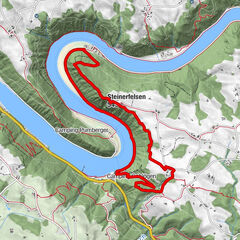
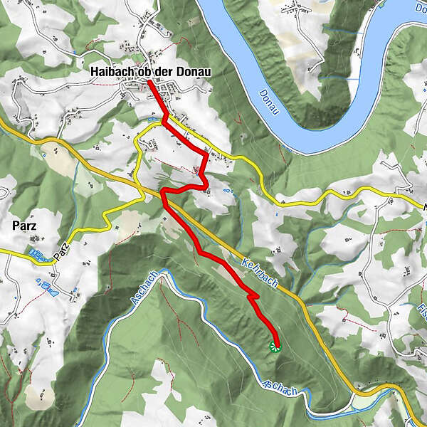
4.67km
418
- 547m
245hm
01:30h
- Rating
-
- Starting point
-
Ortszentrum Haibach ob der Donau
- Route
-
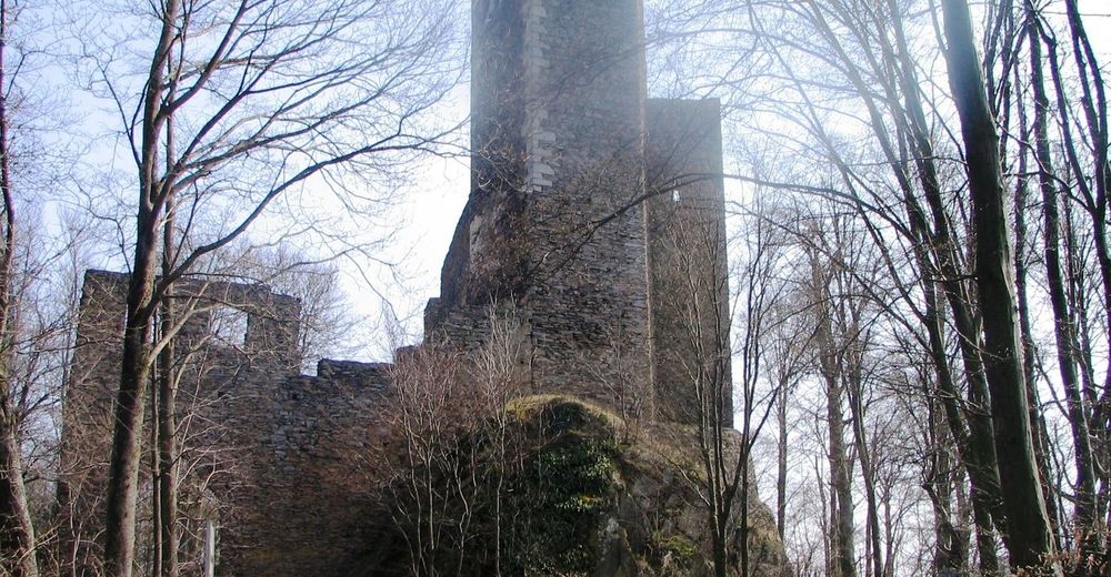
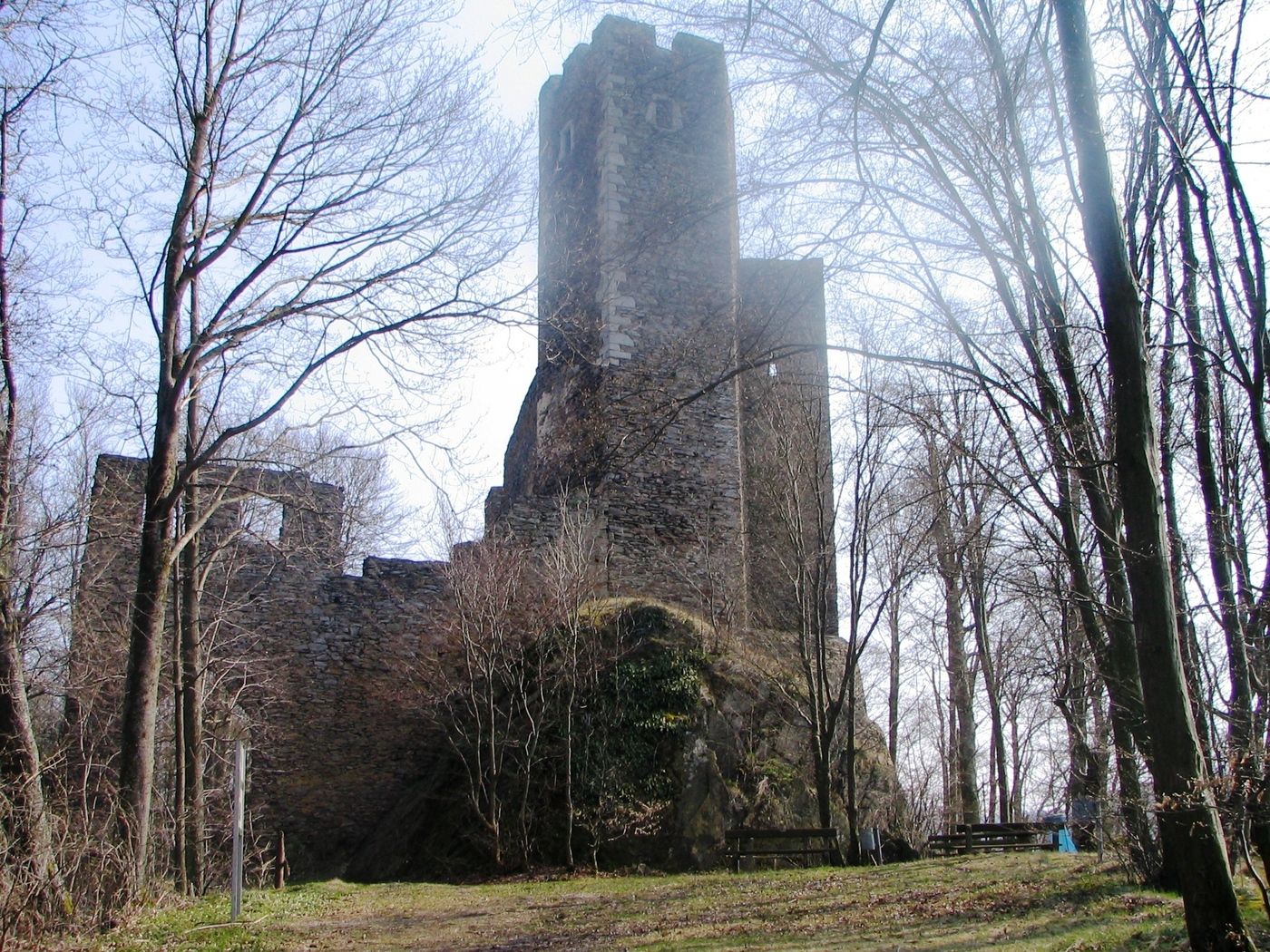
Pfarrkirche Haibach ob der DonauHaibach ob der Donau0.0 kmWirtshaus Tilli0.1 kmReith0.7 kmBach0.7 kmWiesing1.0 km
- Highest point
- 547 m
GPS Downloads


Trail conditions
Asphalt
Gravel
Meadow
Forest
Rock
Exposed
Other tours in the regions
-
Hausruckviertel
1484
-
Donau Oberösterreich
777
-
Haibach ob der Donau
181