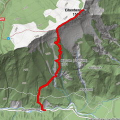
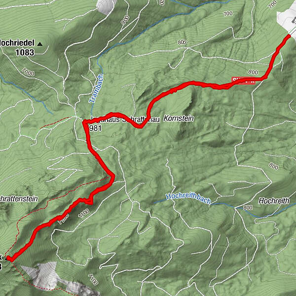
Tour data
8.17km
757
- 1,373m
1,092hm
1,092hm
04:19h
- Brief description
-
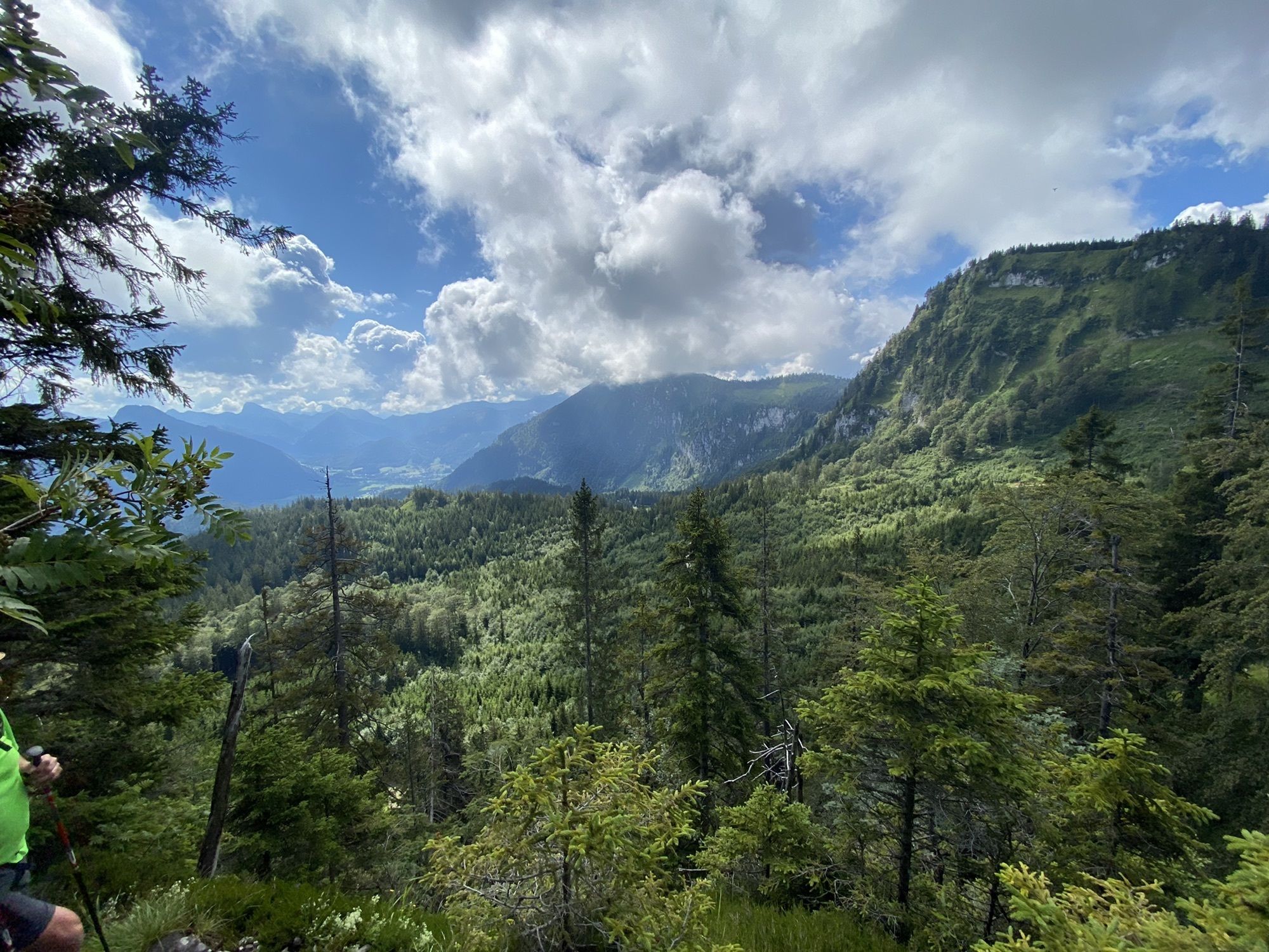
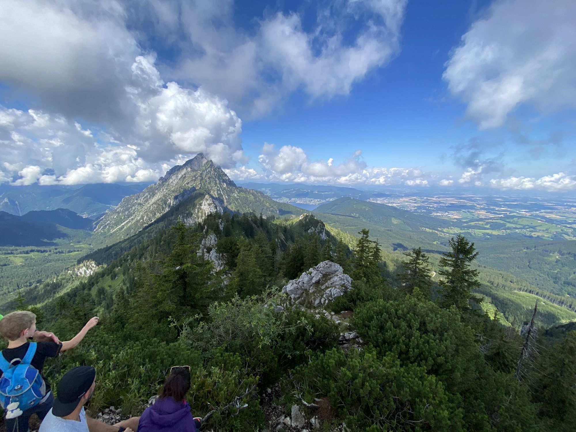
Start beim Parkplatz Hochbuchegg über das Jagdhaus in Schrattenau und weiter auf den Gipfel Steineck.
- Difficulty
-
medium
- Rating
-
- Route
-
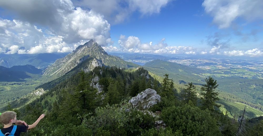
Steineck Mittelgipfel3.7 kmSteineck (1,418 m)3.7 km
- Best season
-
JanFebMarAprMayJunJulAugSepOctNovDec
- Highest point
- 1,373 m
GPS Downloads


Trail conditions
Asphalt
Gravel
(20)
Meadow
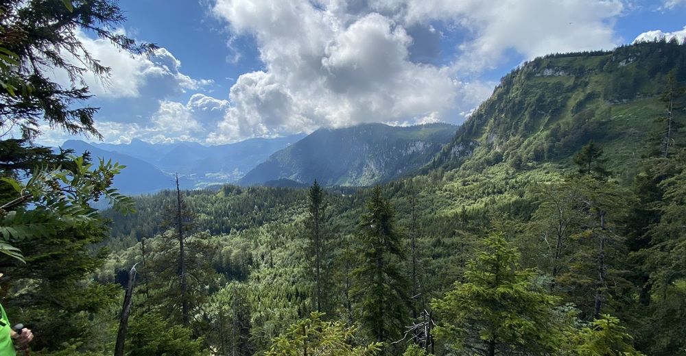
Forest
(50)
Rock
(30)
Exposed
Other tours in the regions
-
Hausruckviertel
1487
-
Traunsee-Almtal
910
-
St. Konrad
255