© Fürstenvilla zu Schaumburg-Lippe
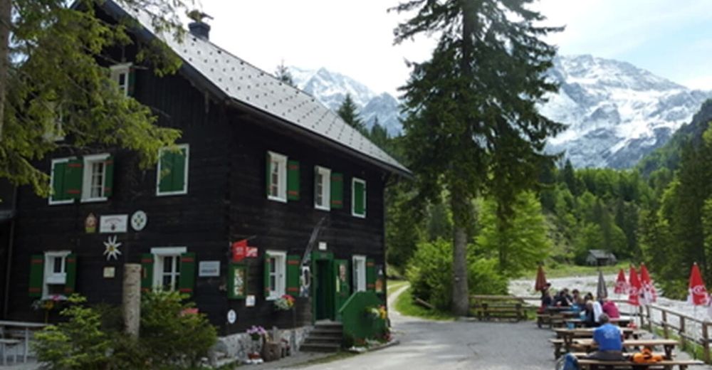
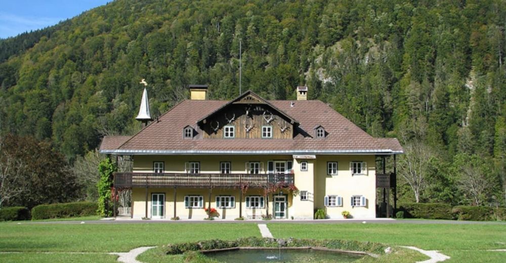
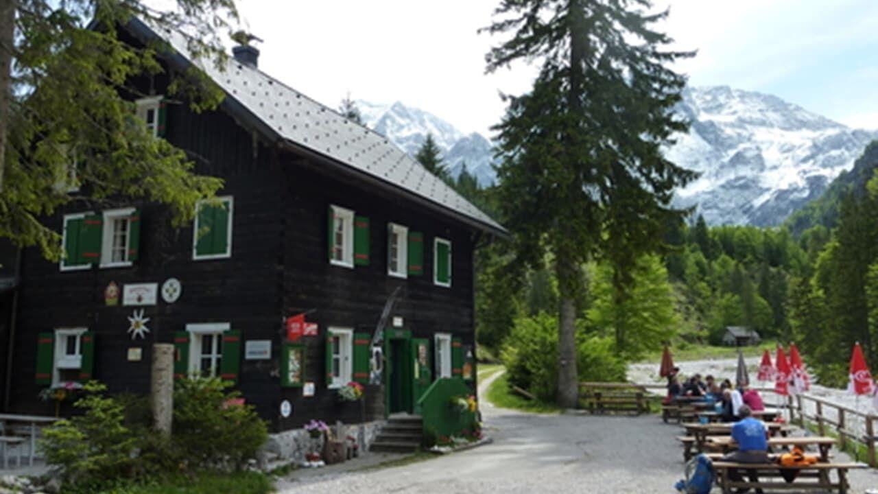
© Almtalerhaus
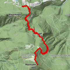
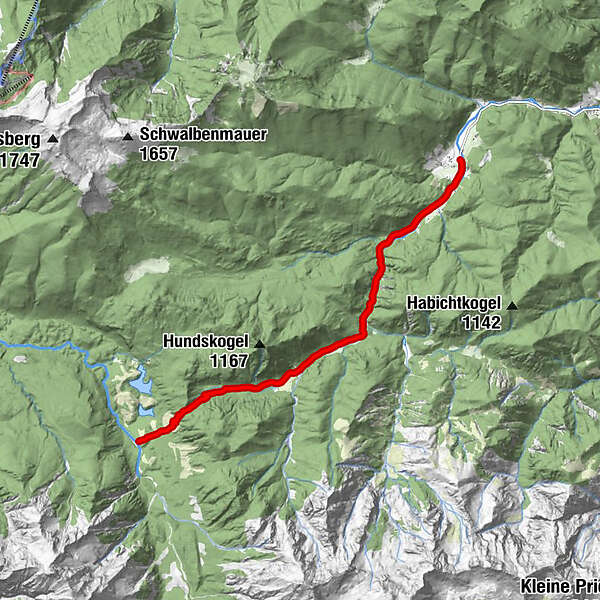
Tour data
8.6km
550
- 898m
488hm
05:00h
- Brief description
-
Leichte bis mittlere Wanderung bis zum Großen und Kleinen Ödsee.
- Difficulty
-
medium
- Rating
-
- Starting point
-
Parkplatz im Brunnental (Steyrling)
- Route
-
BrunnentalWaldfrieden Steyrling2.2 kmRingsattel (897 m)7.5 kmAlmtalerhaus8.6 km
- Best season
-
JanFebMarAprMayJunJulAugSepOctNovDec
- Highest point
- 898 m
- Rest/Retreat
-
Almtaler Haus
- Ticket material
-
Wanderkarte Pyhrn-Priel erhätlich in allen Pyhrn-Priel Tourismusbüros!
GPS Downloads


Trail conditions
Asphalt
Gravel
Meadow
Forest
Rock
Exposed
Other tours in the regions