© Sulzbacher

© Zellerhütte

© TVB Pyhrn-Priel/Sulzbacher
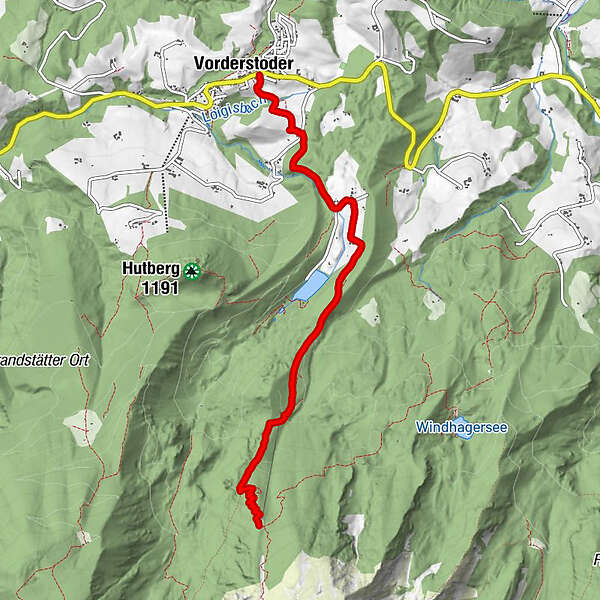
Tour data
5.55km
775
- 1,555m
749hm
05:00h
- Brief description
-
Schwierigkeitsgrad: schwarz: Forststraße, Fußweg
- Difficulty
-
difficult
- Rating
-
- Starting point
-
Steinerwirt in Vorderstoder
- Route
-
Vorderstoder0.0 kmZellerhütte5.5 km
- Best season
-
JanFebMarAprMayJunJulAugSepOctNovDec
- Highest point
- 1,555 m
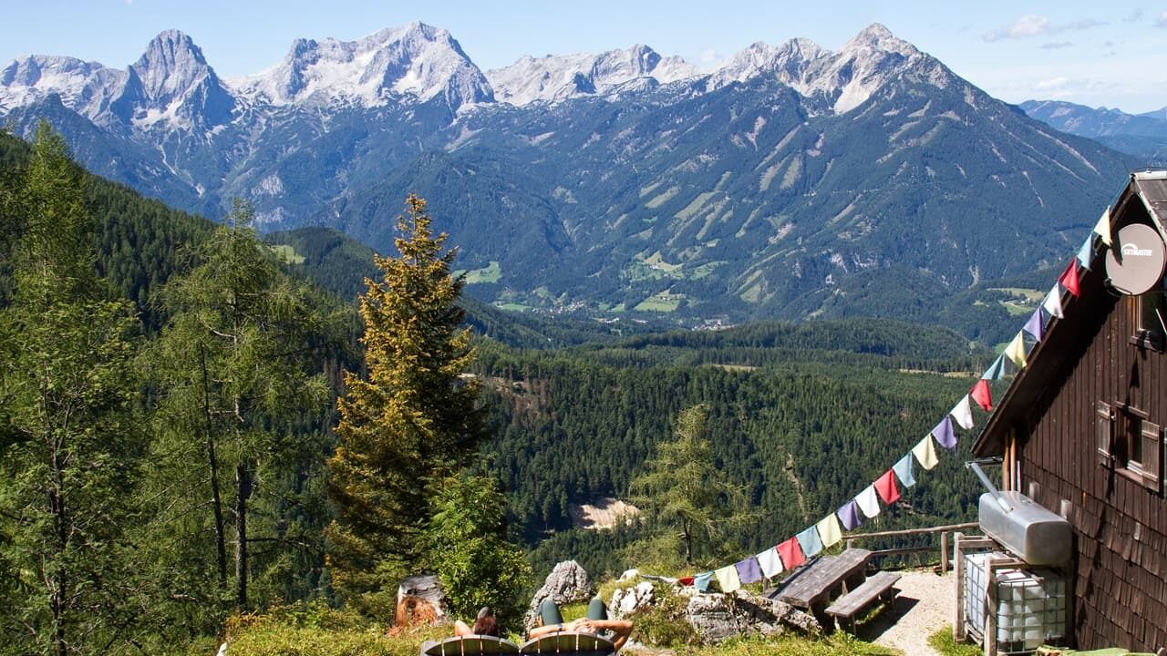
- Rest/Retreat
-
Mostschänke Binder, Zellerhütte
- Ticket material
-
Wanderkarte Pyhrn-Priel erhätlich in allen Pyhrn-Priel Tourismusbüros!


GPS Downloads


Trail conditions
Asphalt
Gravel
Meadow
Forest
Rock
Exposed
Other tours in the regions
-
Traunviertel
1940
-
Urlaubsregion Pyhrn - Priel
1440
-
Vorderstoder
438