

© Sulzbacher
© Sulzbacher
© Sulzbacher
Tour data
5.43km
948
- 1,948m
1,005hm
07:00h

- Brief description
-
Schwierigkeitsgrad: schwarz
- Difficulty
-
difficult
- Rating
-
- Starting point
-
Parkplatz auf der Passhöhe
- Route
-
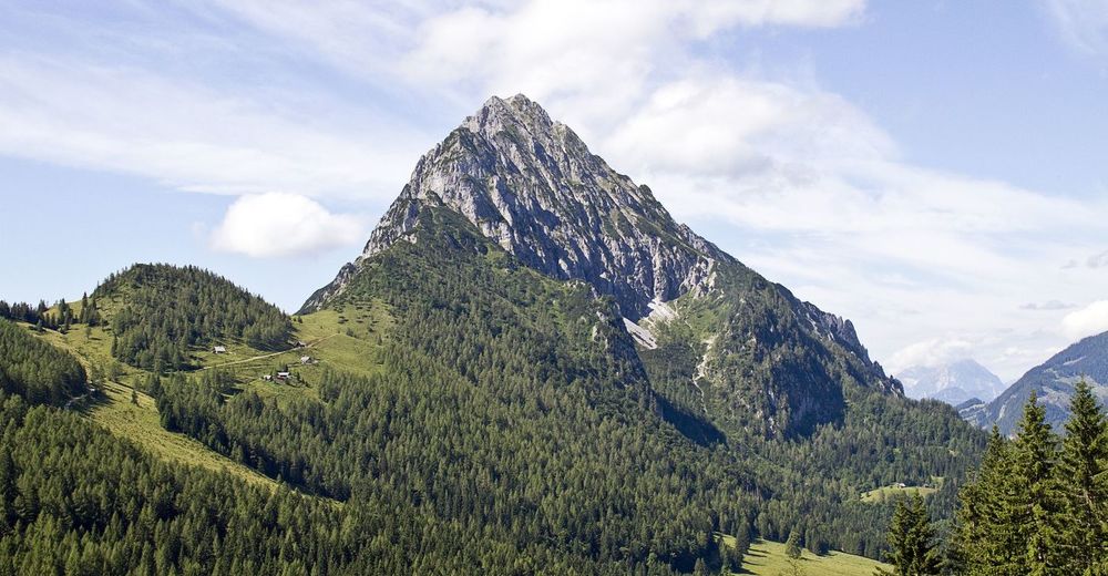
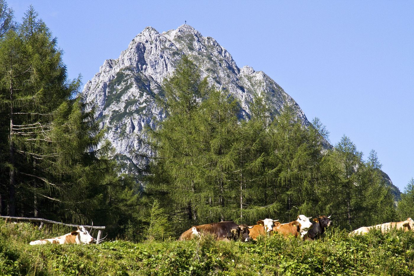
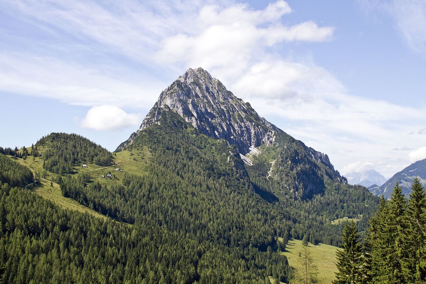
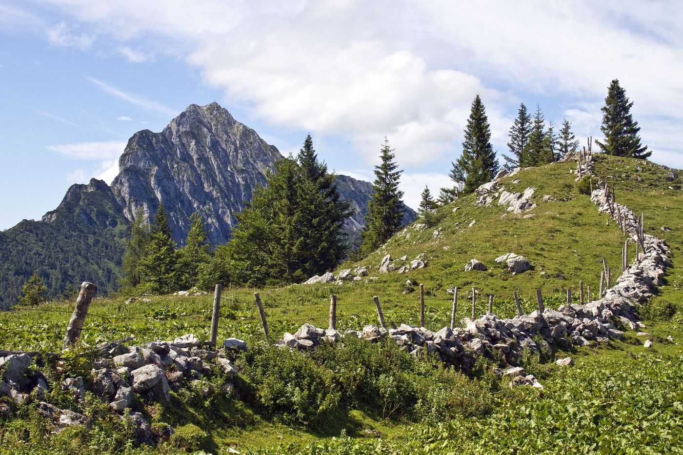
Lahnerkogel (1,854 m)3.9 kmKitzstein (1,925 m)4.5 kmBosruck (1,992 m)5.4 km
- Best season
-
JanFebMarAprMayJunJulAugSepOctNovDec
- Highest point
- 1,948 m
- Ticket material
-
Wanderkarte Pyhrn-Priel erhätlich in allen Pyhrn-Priel Tourismusbüros!
GPS Downloads


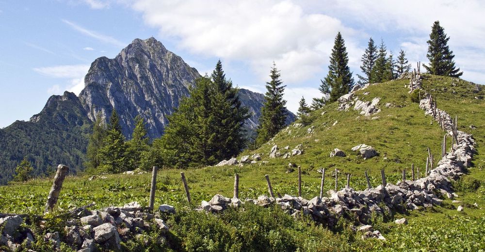
Trail conditions
Asphalt
Gravel
Meadow
Forest
Rock
Exposed
Other tours in the regions
-
Gesäuse
2225
-
Urlaubsregion Pyhrn - Priel
1440
-
Spital am Pyhrn - Wurzeralm
434


")


