


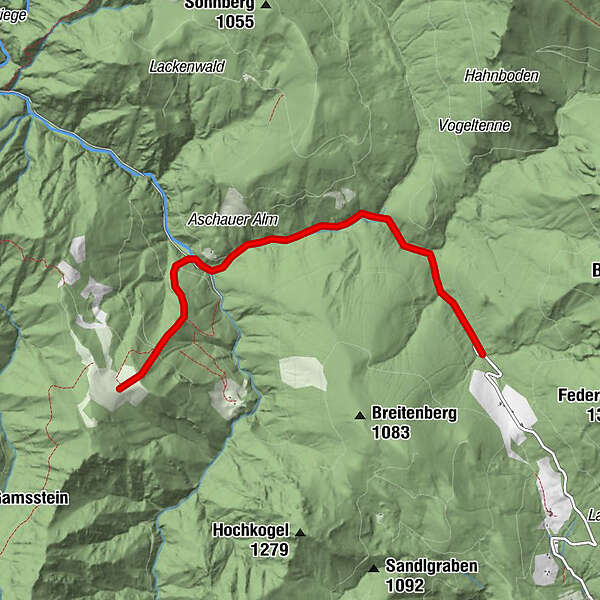
Tour data
9.8km
603
- 1,039m
610hm
610hm
01:13h
- Brief description
-
Ausgangspunkt Parkplatz Weisswasser
- Difficulty
-
easy
- Rating
-
- Starting point
-
Parkplatz Weißwasser
- Route
-
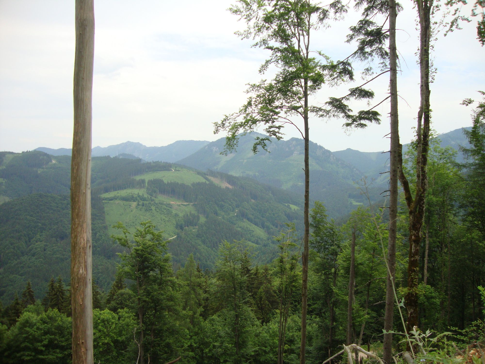
Weißwasser1.5 kmBlahbergalm4.7 km
- Best season
-
JanFebMarAprMayJunJulAugSepOctNovDec
- Highest point
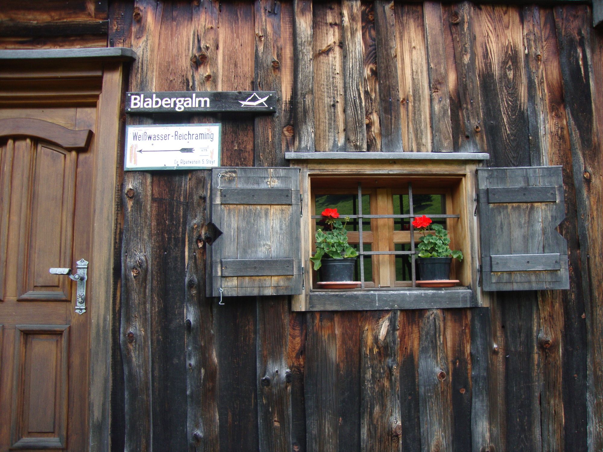
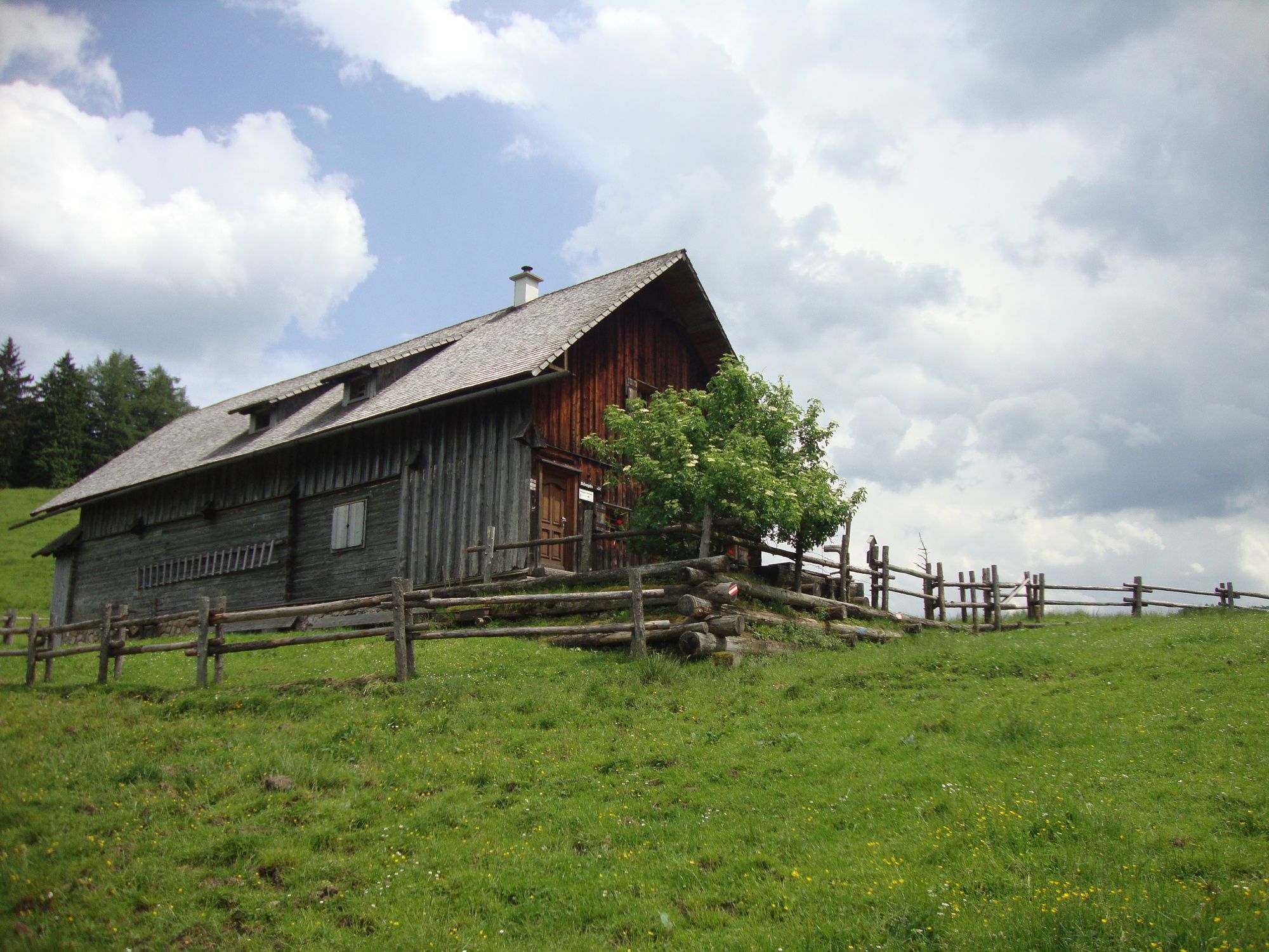
- Blahbergalm (1,039 m)
- Endpoint
-
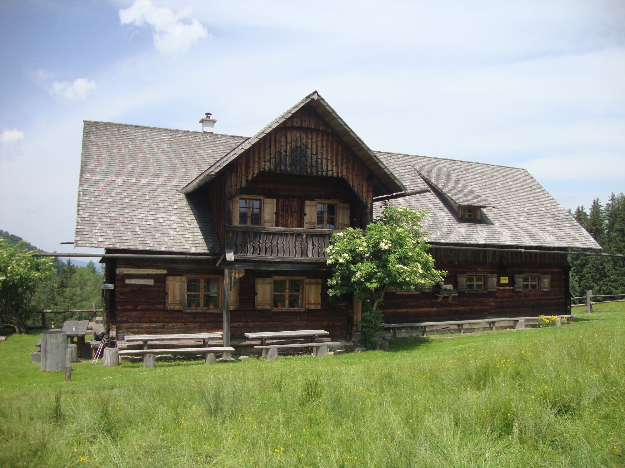
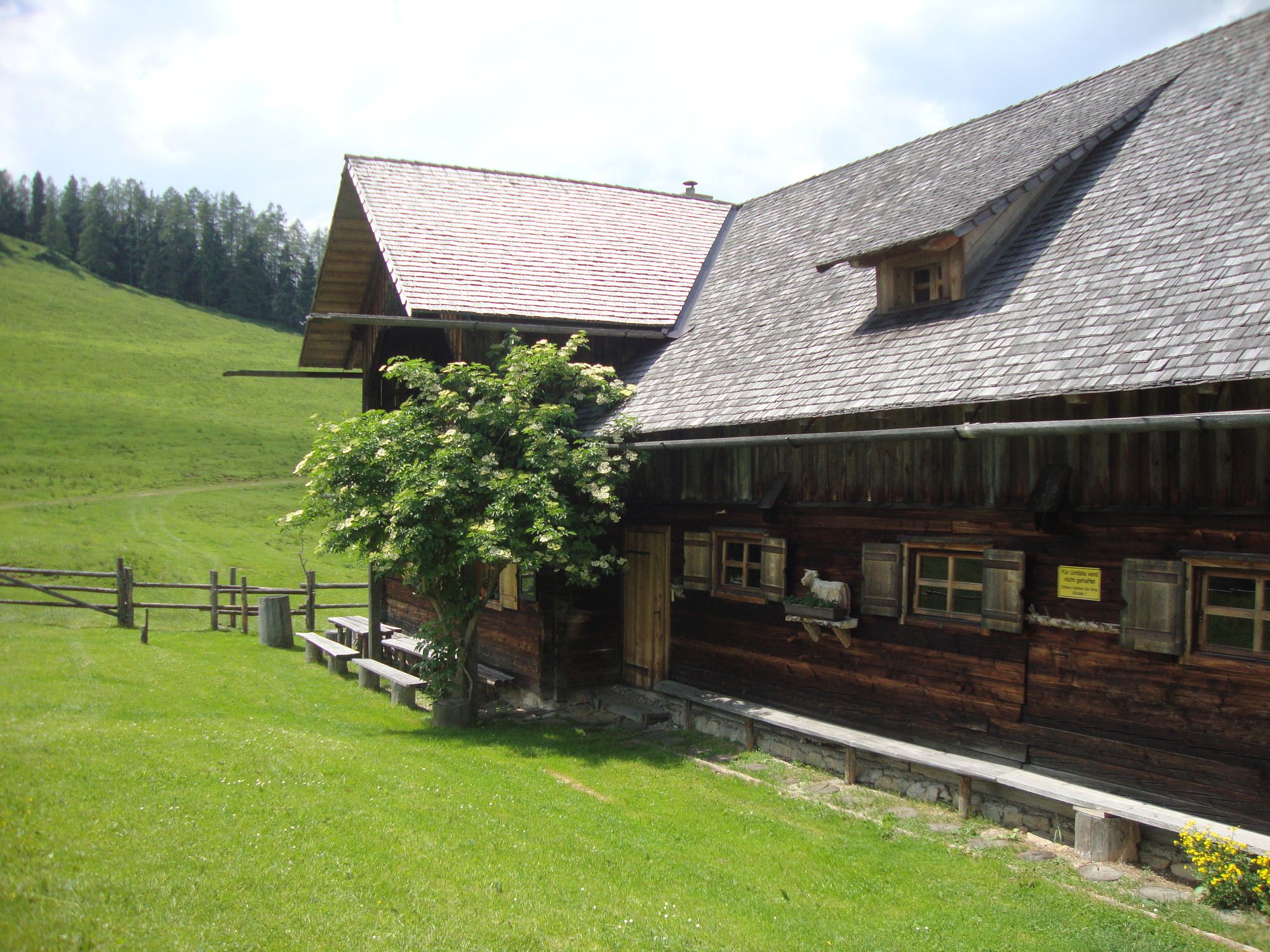
Blahbergalm
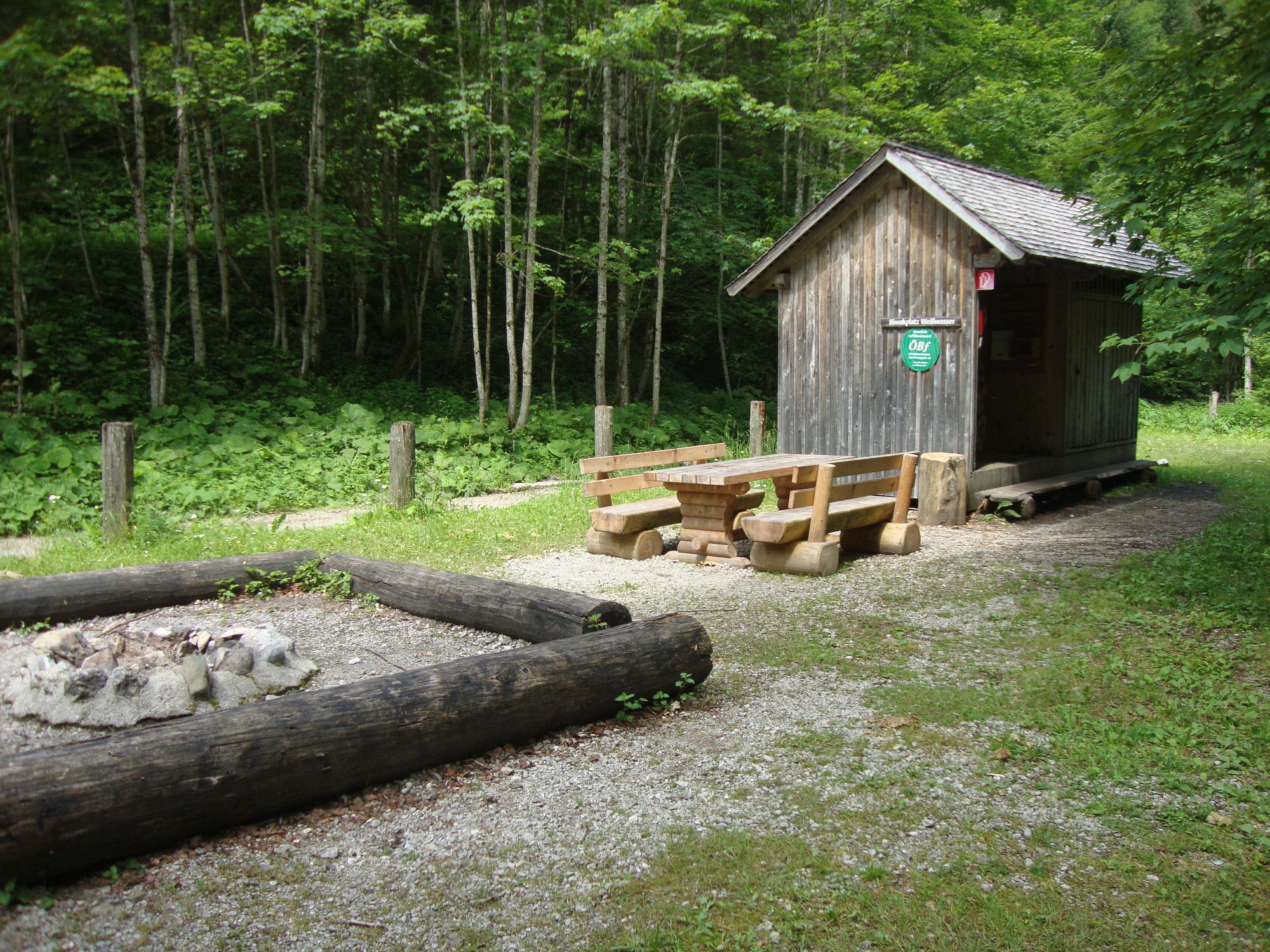
- Rest/Retreat
-
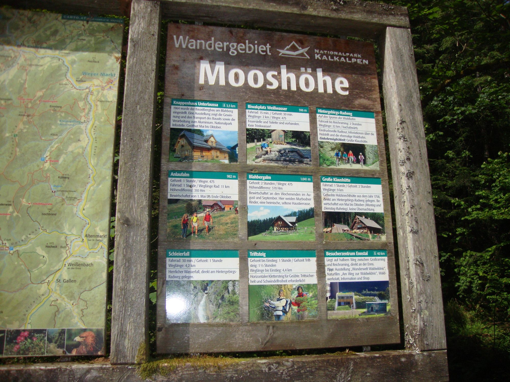
Radlerimbiss Mooshöhe

GPS Downloads


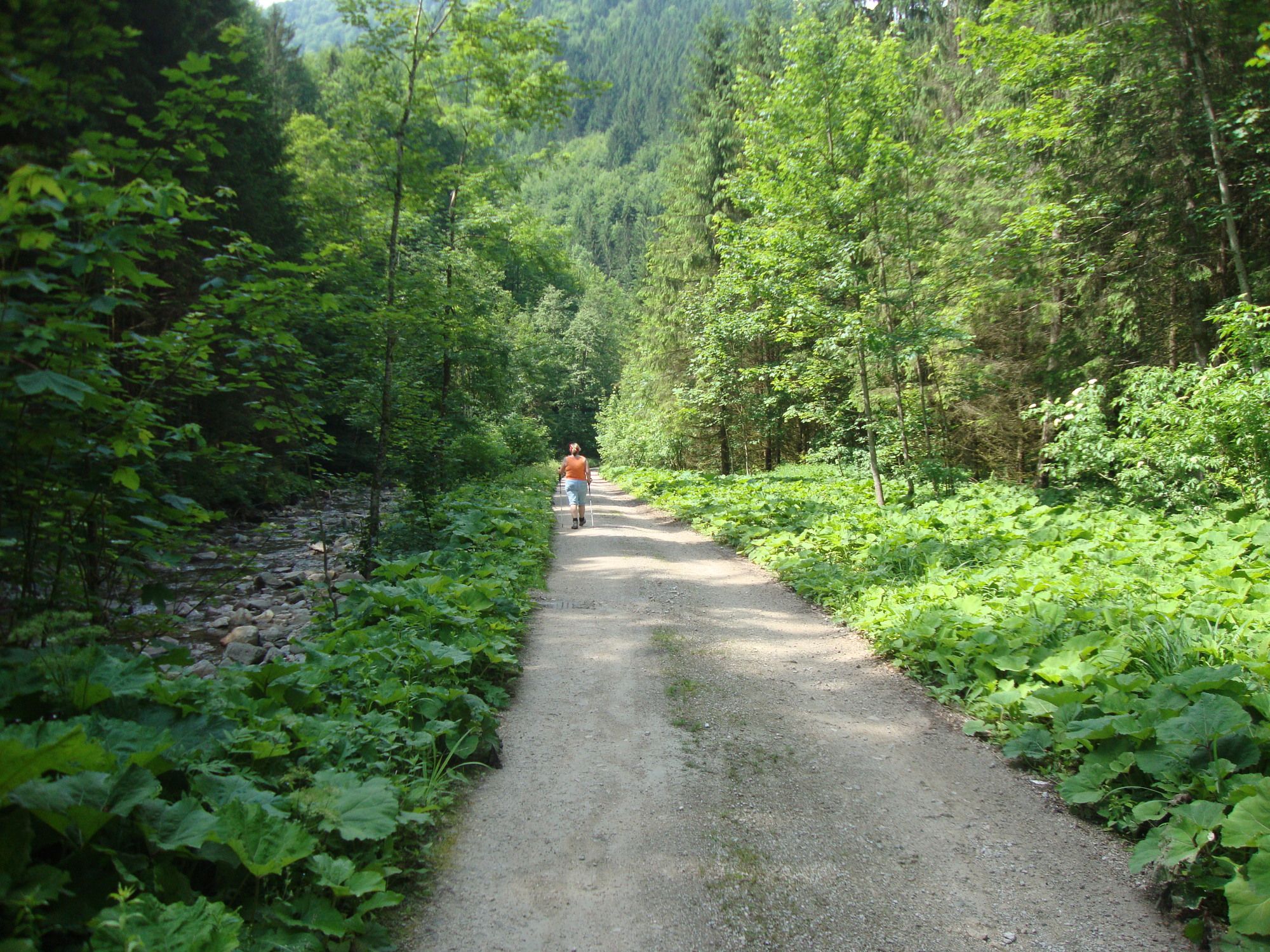
Trail conditions
Asphalt
Gravel
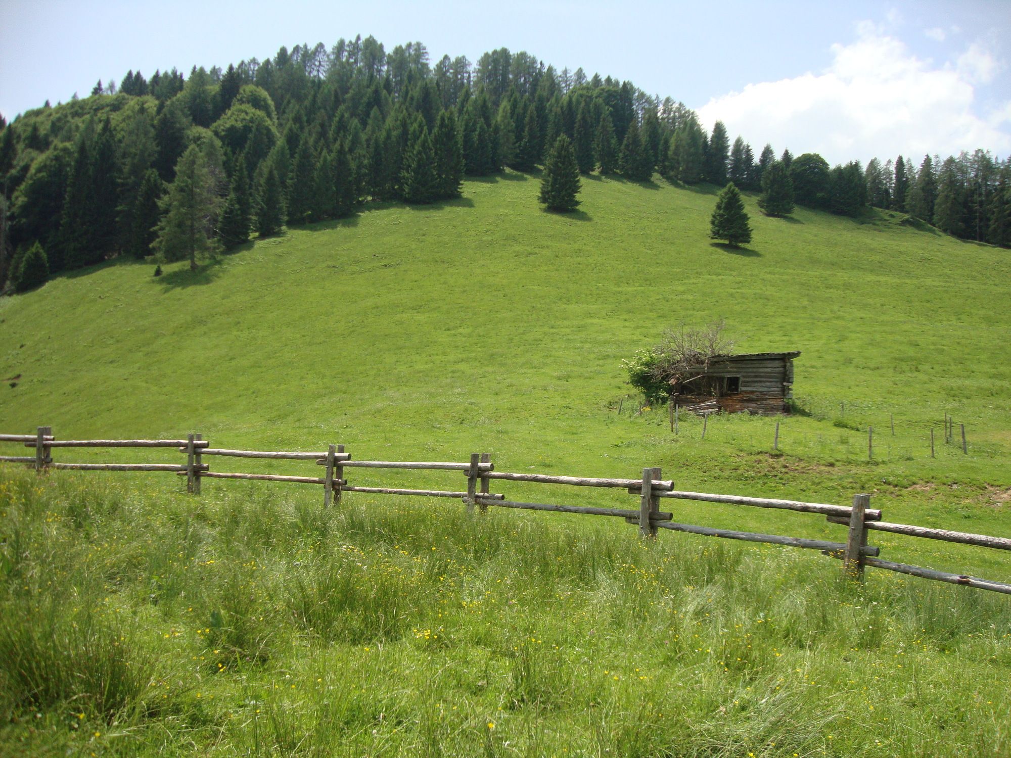
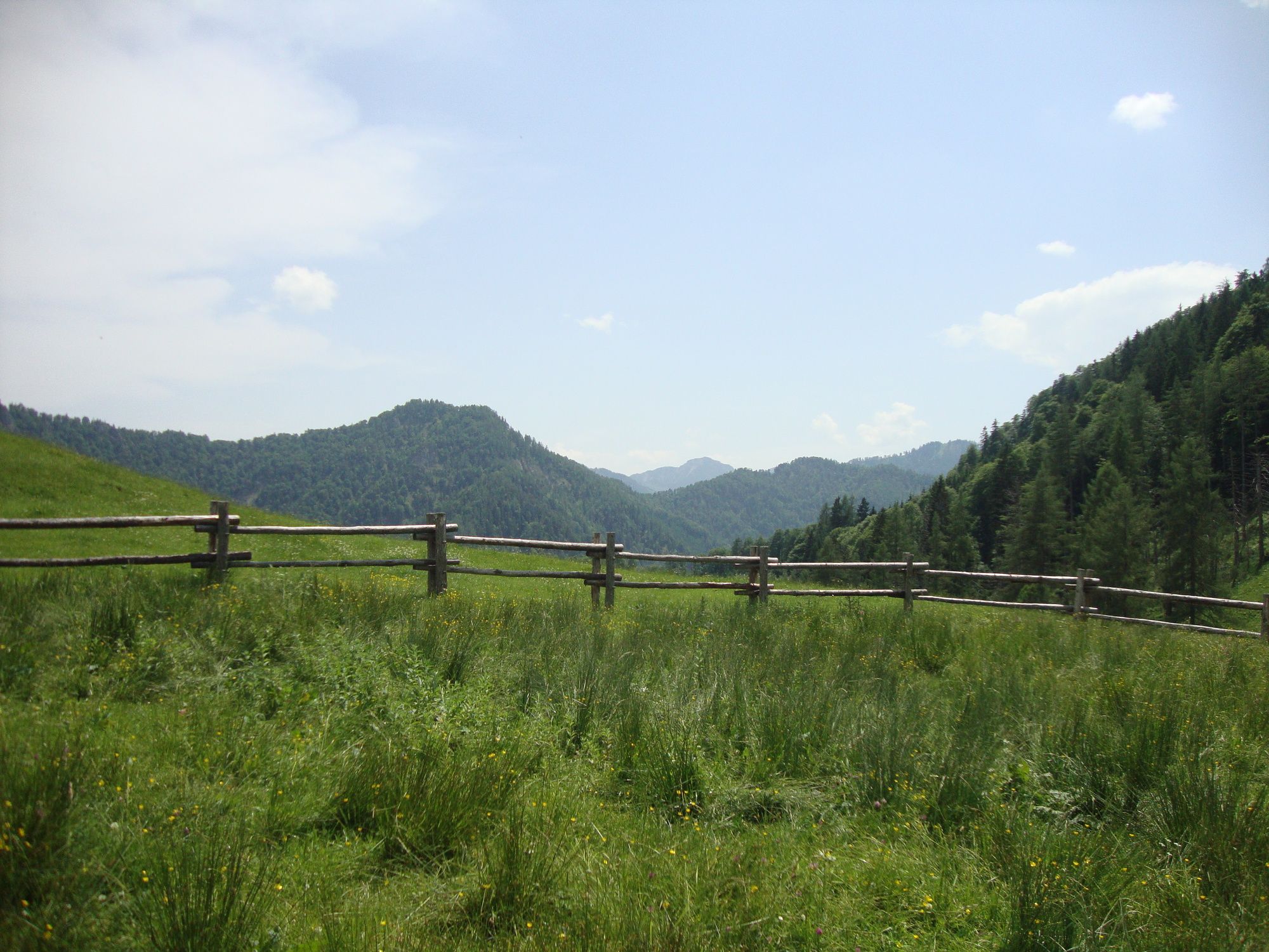
Meadow
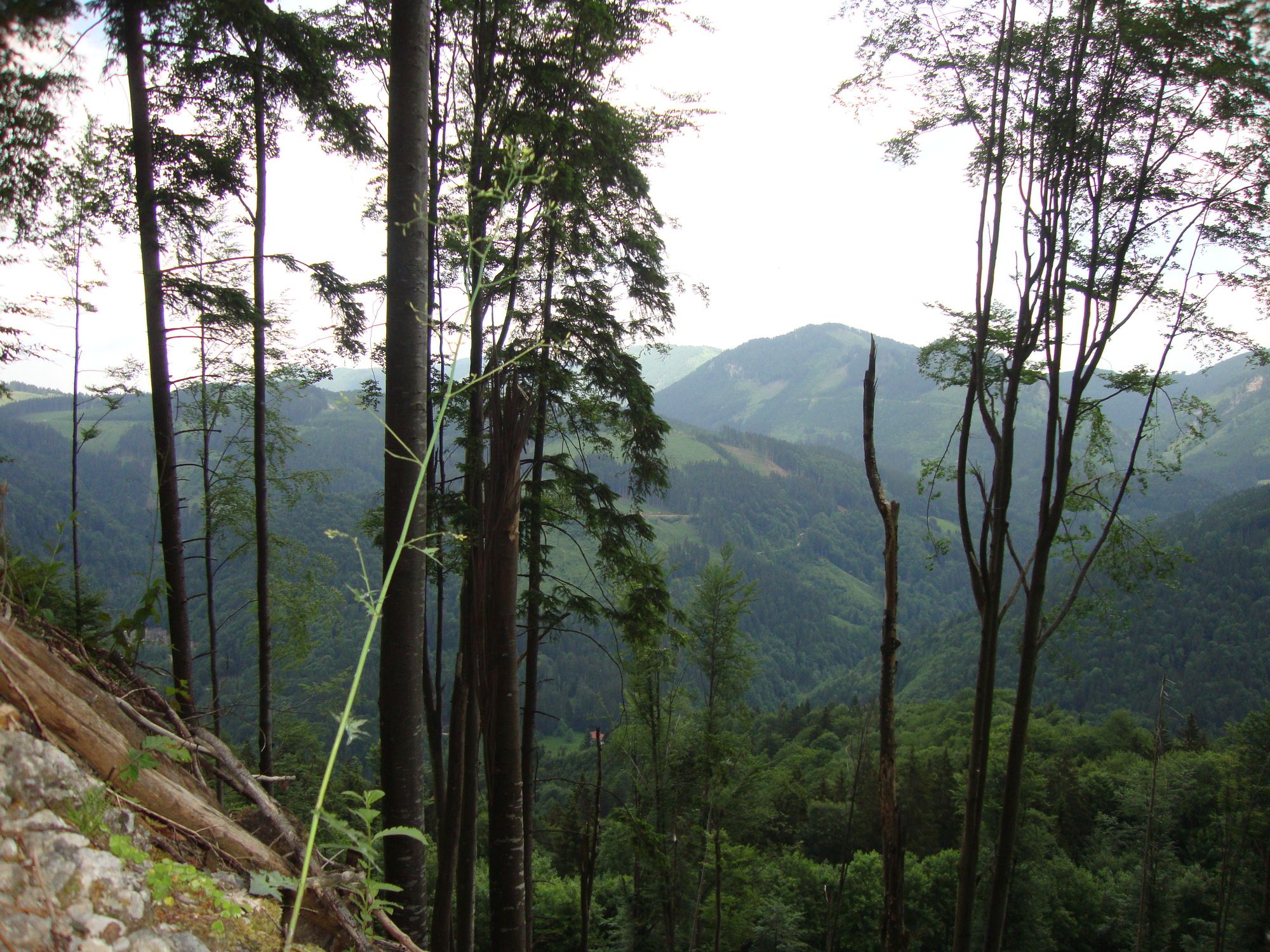
Forest
Rock
Exposed
Other tours in the regions
-
Gesäuse
2225
-
Steyr und die Nationalpark Region
1371
-
St. Gallen
174


