
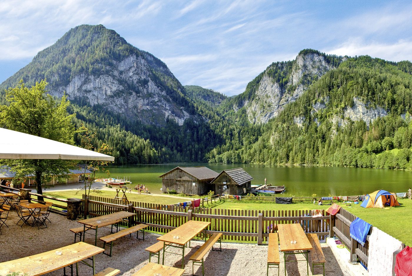
© Sulzbacher

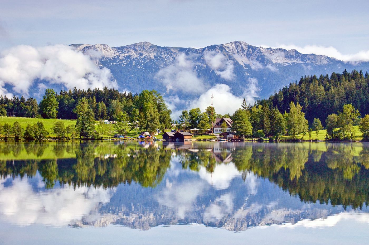
© Sulzbacher
Tour data
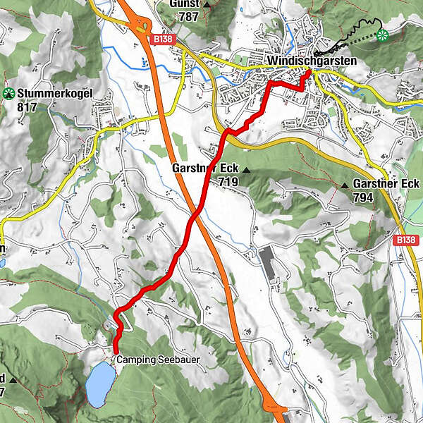
9.8km
586
- 809m
229hm
04:00h
- Brief description
-
Schwierigkeitsgrad: blau
- Rating
-
- Starting point
-
Hauptplatz Windischgarsten
- Route
-
WindischgarstenSt. Jakob0.0 kmZum guten Hirten0.3 km
- Highest point
- 809 m
- Rest/Retreat
-
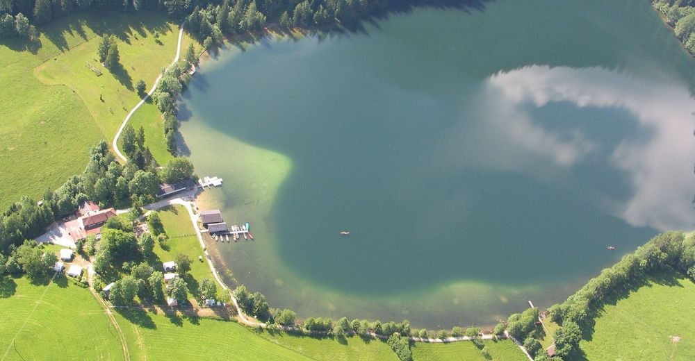
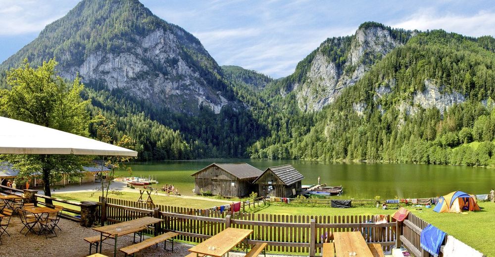
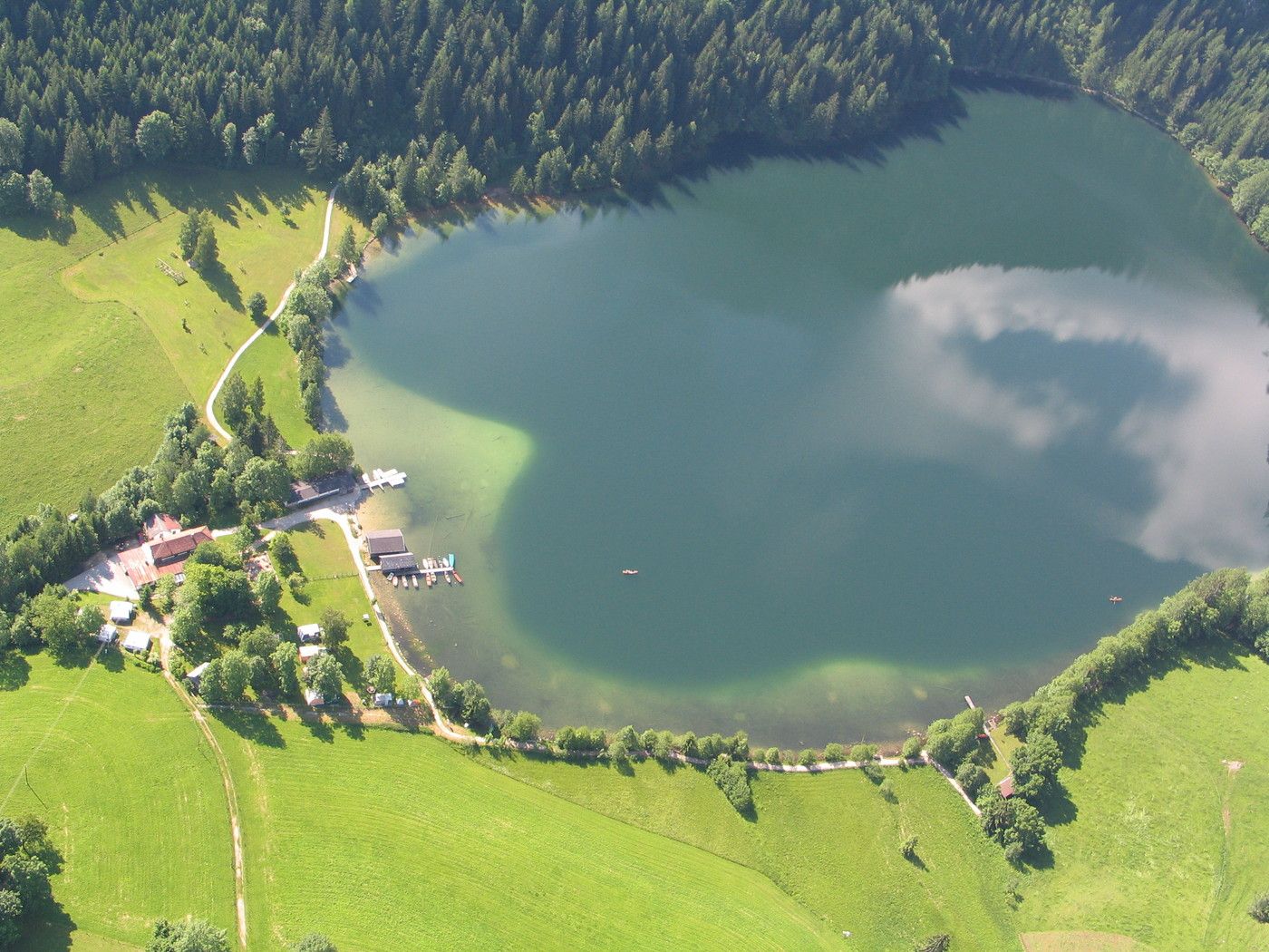
GH Seebauer, GH Tommerl
- Ticket material
-
Wanderkarte Pyhrn-Priel erhätlich in allen Pyhrn-Priel Tourismusbüros!
GPS Downloads


Trail conditions
Asphalt
Gravel
Meadow
Forest
Rock
Exposed
Other tours in the regions
-
Traunviertel
1940
-
Urlaubsregion Pyhrn - Priel
1440
-
Windischgarsten
439


