

© Tatzreiter

© TVB Pyhrn-Priel Röbl
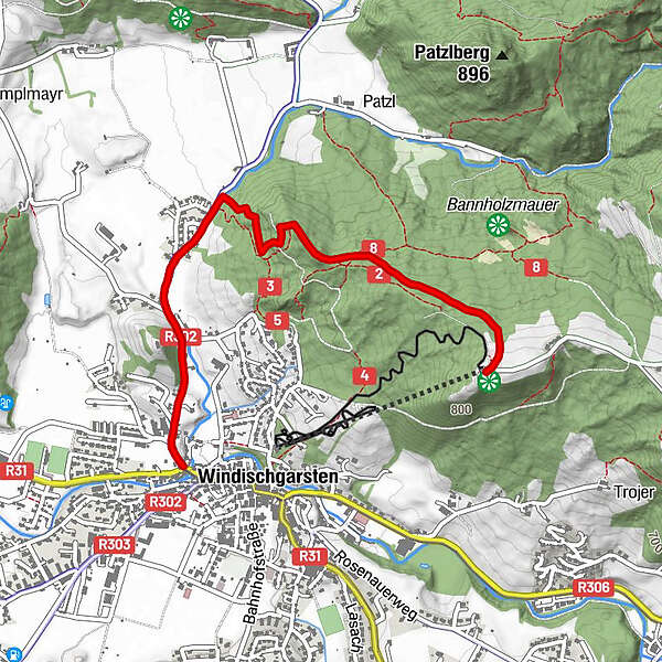
Tour data
2.82km
596
- 848m
244hm
01:30h
- Brief description
-
Schwierigkeitsgrad: blau
- Difficulty
-
medium
- Rating
-
- Starting point
-
Ort Windischgarsten
- Route
-
WindischgarstenMayrwinkl1.0 kmZelleraussicht (736 m)1.7 kmSimberg1.7 kmWurbauerkogel (858 m)2.8 kmBergrestaurant am Wurbauerkogel2.8 km
- Best season
-
JanFebMarAprMayJunJulAugSepOctNovDec
- Highest point
- 848 m
- Rest/Retreat
-
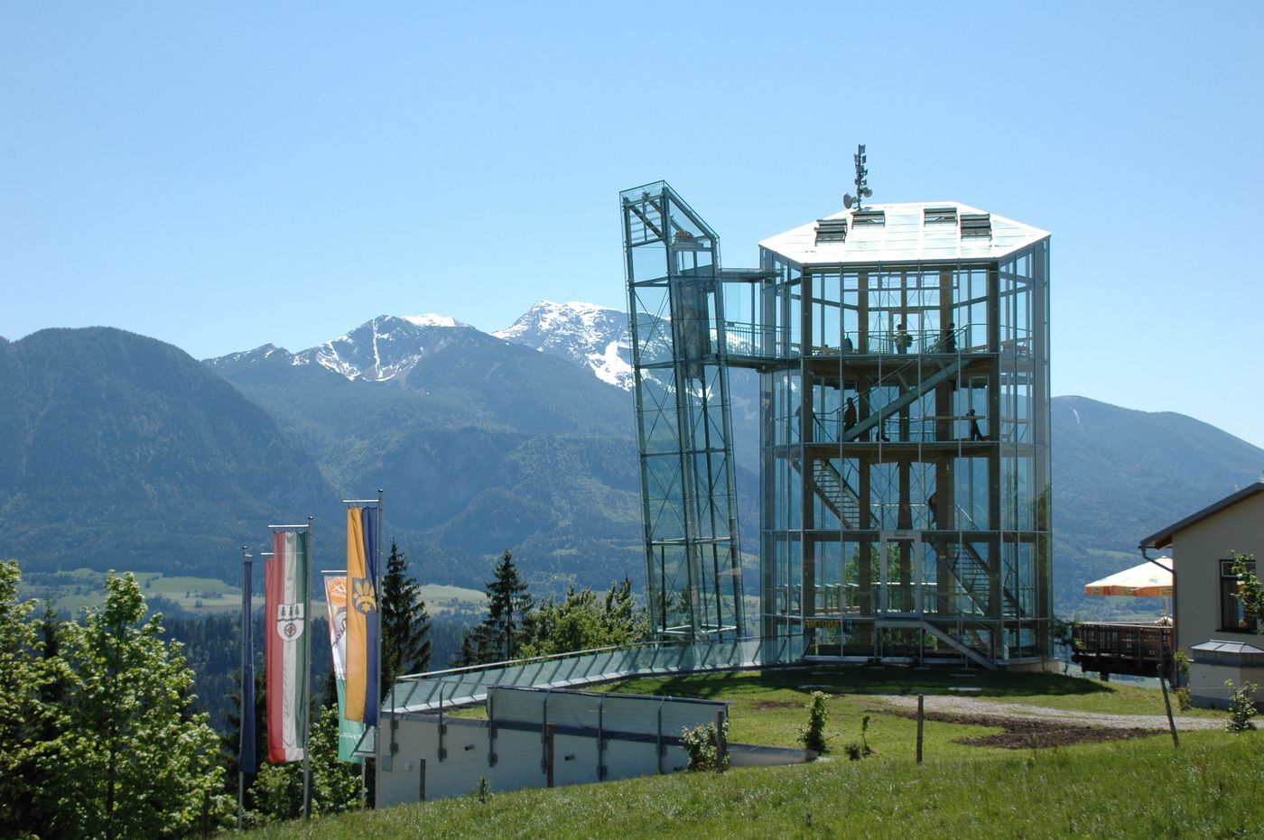
Bergrest. Wurbauerkogel, Jausenstation "Wurbauer" (am WE), Mostschänke Horner
- Ticket material
-
Wanderkarte Pyhrn-Priel erhätlich in allen Pyhrn-Priel Tourismusbüros!
GPS Downloads


Trail conditions
Asphalt
Gravel
Meadow
Forest
Rock
Exposed
Other tours in the regions
-
Traunviertel
1940
-
Steyr und die Nationalpark Region
1371
-
Windischgarsten
439


