

© Gemeinde Hinterstoder

© Gemeinde Hinterstoder

© Gemeinde Hinterstoder
Tour data
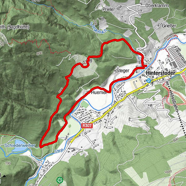
4.98km
588
- 703m
112hm
02:30h
- Difficulty
-
easy
- Rating
-
- Starting point
-
Ortszentrum Hinterstoder
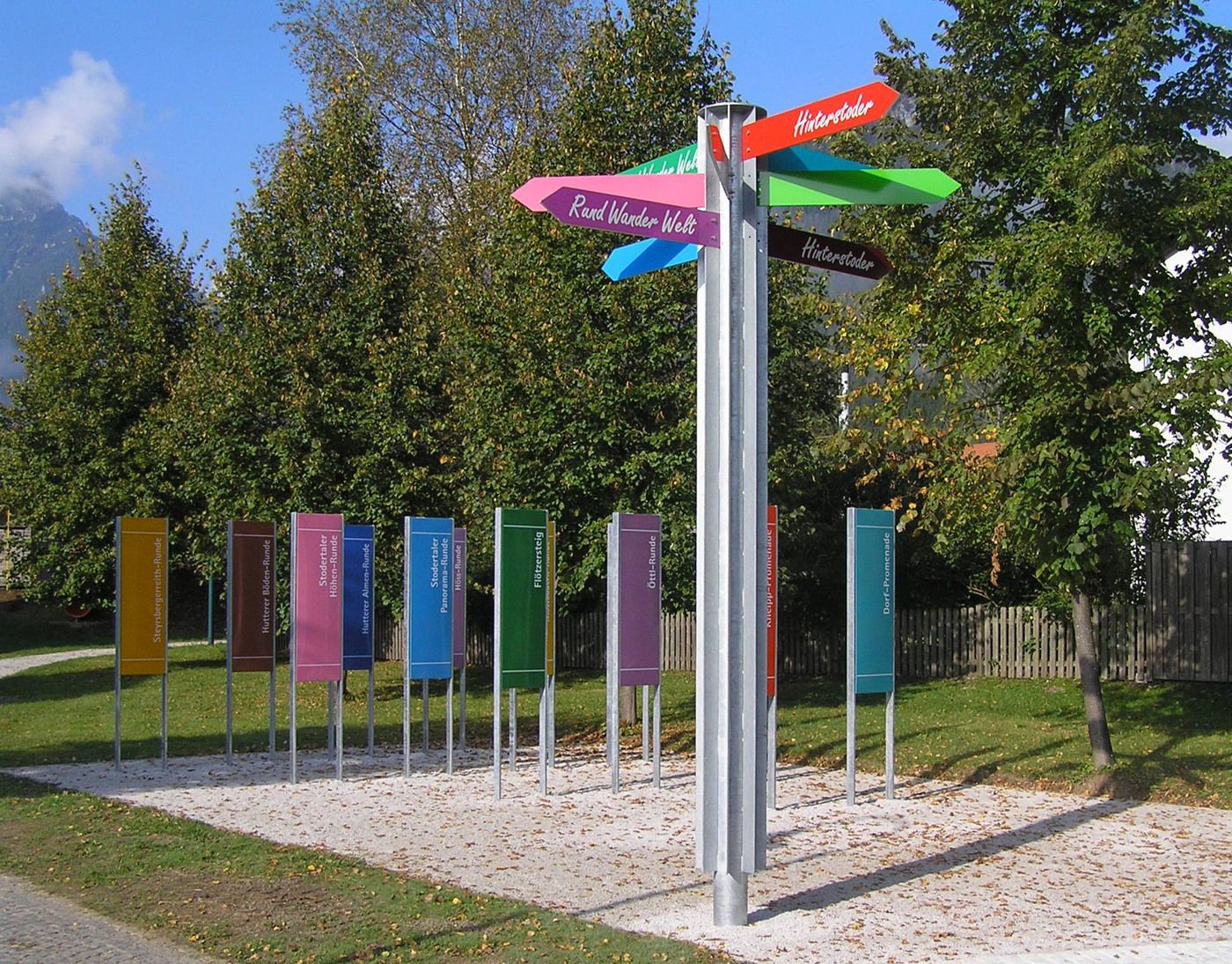
- Route
-
HinterstoderHinterstoder4.9 km
- Best season
-
JanFebMarAprMayJunJulAugSepOctNovDec
- Highest point
- 703 m
- Rest/Retreat
-
Sportbuffet, Pizzeria Mamamia, Café Annemarie, GH zur Post, Dorfstub´n, Café Gollner, Landgasthof Schmalzerhof
- Ticket material
-
Wanderkarte Pyhrn-Priel erhältlich in allen Pyhrn-Priel Tourismusbüros!


GPS Downloads


Other tours in the regions
-
Traunviertel
1940
-
Urlaubsregion Pyhrn - Priel
1440
-
Hinterstoder
395


