

© Schachner
© Schachner
Tour data
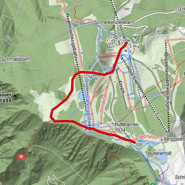
3km
1,384
- 1,841m
454hm
02:30h
- Brief description
-
Schwierigkeitsgrad: Rot: Schotterstraße
- Difficulty
-
medium
- Rating
-
- Starting point
-
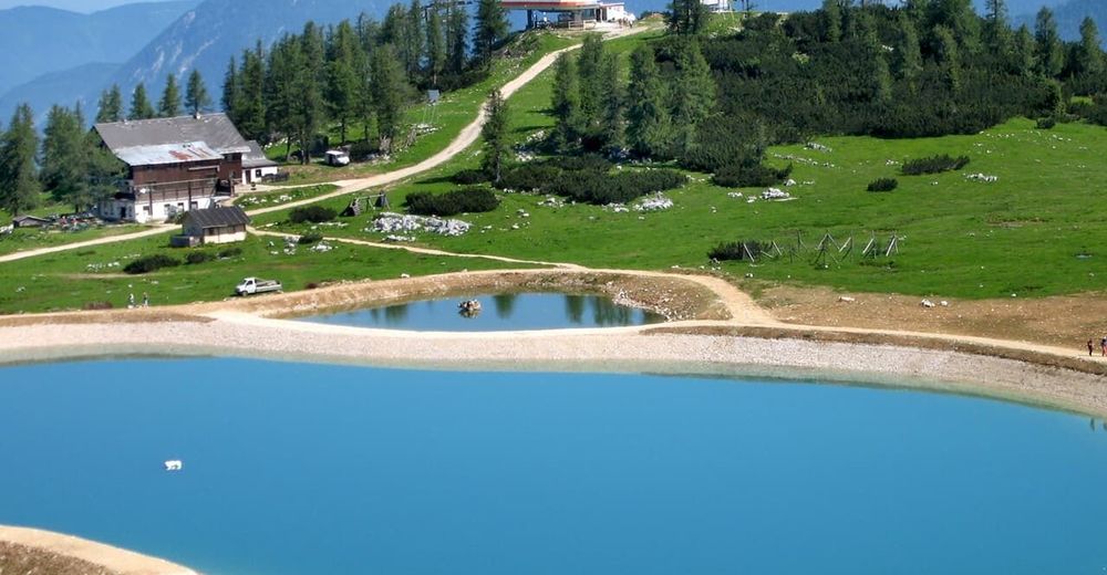
Hutterer Höss
- Best season
-
JanFebMarAprMayJunJulAugSepOctNovDec
- Highest point
- 1,841 m
- Rest/Retreat
-
Lögerhütt´n, BergGH Hutterer Höss
- Ticket material
-
Wanderkarte Pyhrn-Priel erhältlich in allen Pyhrn-Priel Tourismusbüros!


GPS Downloads


Trail conditions
Asphalt
Gravel
Meadow
Forest
Rock
Exposed
Other tours in the regions
-
Traunviertel
1940
-
Urlaubsregion Pyhrn - Priel
1440
-
Hinterstoder
395


