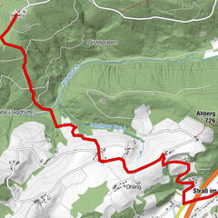
Tour data
5.23km
517
- 609m
92hm
01:18h
- Brief description
-
Wanderung über ein Hochmoorgebiet zum Botanischen Garten
- Rating
-
- Starting point
-
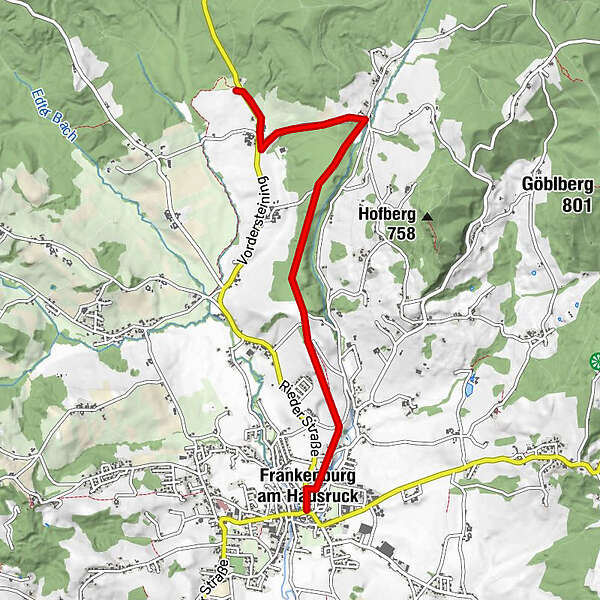
Marktplatz
- Route
-
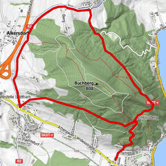
Frankenburg am Hausruck (519 m)Friedhofskirche Frankenburg0.4 kmPerschling0.7 kmGrünbergsiedlung1.2 kmHintersteining4.5 km
- Highest point
- 609 m
- Rest/Retreat
-
Gasthäuser im Zentrum von Frankenburg
GPS Downloads


Trail conditions
Asphalt
Gravel
Meadow
Forest
Rock
Exposed
Other tours in the regions
-
Innviertel
797
-
s'Innviertel
341
-
Frankenburg am Hausruck
129