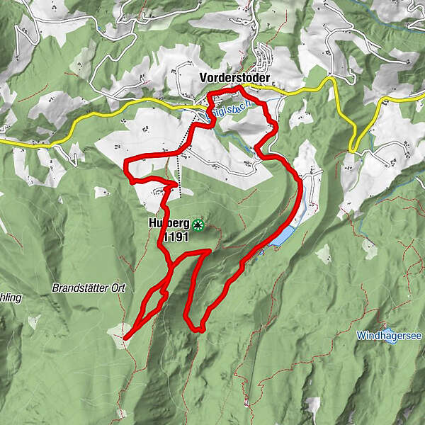
Steyrsbergerreithrunde - „Die Urige“

Logo Steyrsbergerreithrunde - „Die Urige“
Tour data
12.4km
758 - 1,212m
Distance
454hm
506hm
Ascent
03:30h
 
Duration
Brief description

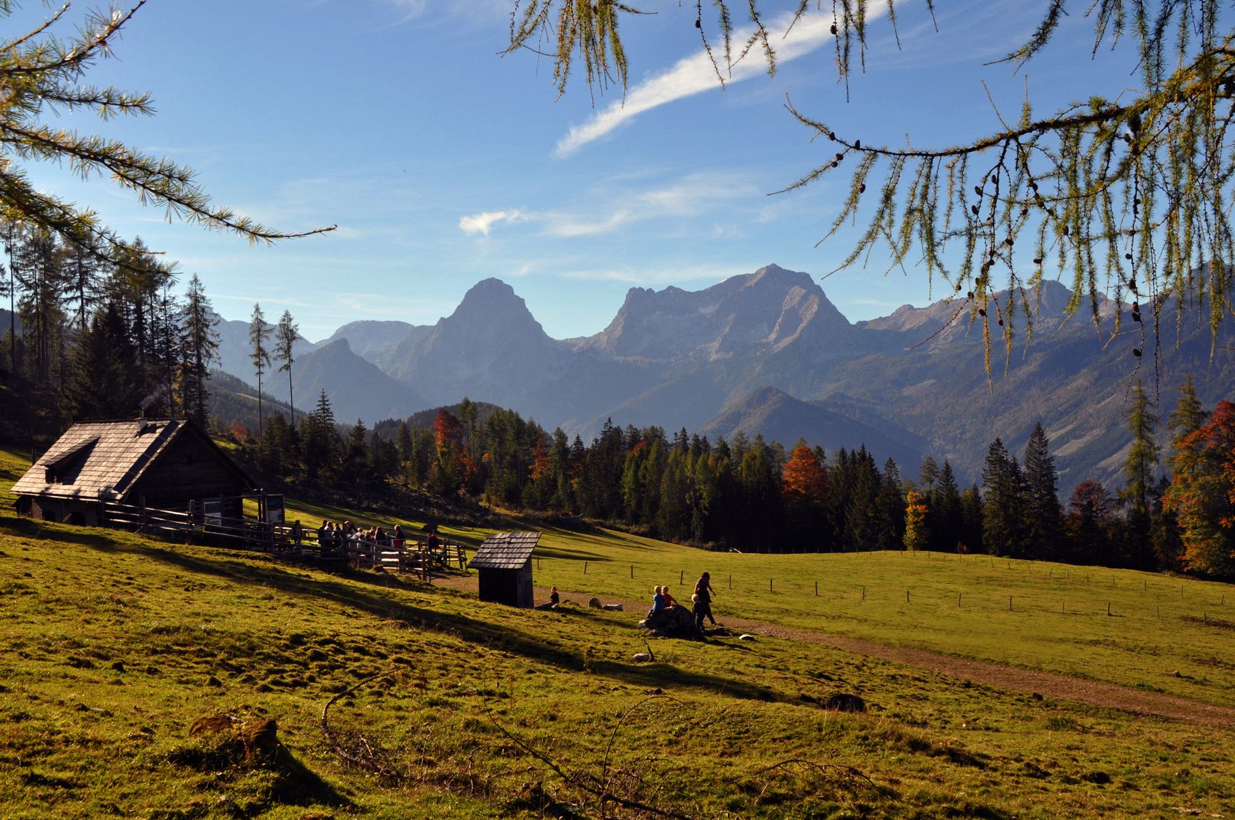
ab Parkplatz Schafferteich kinderwagentauglich

Difficulty
easy
Rating
Technique
Fitness
Landscape
Experience
Route
Vorderstoder
Steyrsbergerreith
7.1 km
BergpfeffeR
12.1 km
Vorderstoder
12.4 km

Best season
Jan
Feb
Mar
Apr
May
Jun
Jul
Aug
Sep
Oct
Nov
Dec
Highest point
1,212 m

Rest/Retreat

Steyrsbergerreith


Info phone

Tourismusbüro Vorderstoder 07564 8255

Link

Overall rating

5

0

%

4

0

%

3

0

%

2

0

%

1

0

%

Error
An error has occurred. Please try again.
Thank you for your review

Rating has been deleted

GPS Downloads
  • GPX GPS Exchange Format (XML)
  • KML Google Earth, Google Maps
QR Download Codes for Mobile Phones

Trail conditions

Asphalt
Gravel
Meadow
Forest
Rock
Exposed
Other tours in the regions

Popular tours in the area

Hinterstoder - Großer Priel

difficult Hiking
10.69km | 1993hm | 09:30h

Gleinkersee - Dümlerhütte

medium Hiking
7.2km | 650hm | 03:15h

Gowilalm

medium Hiking
5.6km | 440hm | 02:30h

Wurzeralm - Warscheneck

difficult Hiking
12.79km | 1053hm | 08:00h